Creag an Iubhair
Settlement in Argyllshire
Scotland
Creag an Iubhair

Creag an Iubhair is a picturesque location situated in Argyllshire, Scotland. Nestled in the heart of the Scottish Highlands, it is renowned for its stunning natural beauty and rich history. The name "Creag an Iubhair" translates to "the yew tree rock," which reflects the area's abundance of ancient yew trees.
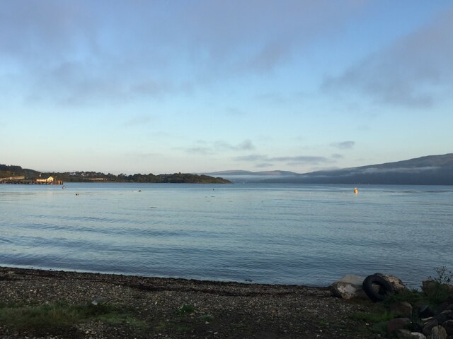
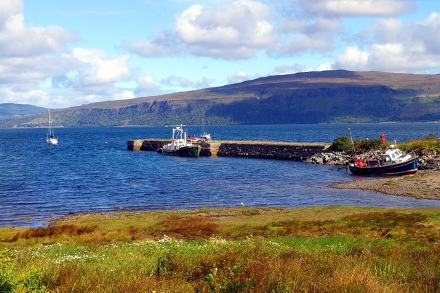
The landscape of Creag an Iubhair is characterized by rolling hills, deep valleys, and pristine lochs. The region offers breathtaking views of the surrounding mountains, including the iconic Ben Nevis. The area is a haven for outdoor enthusiasts, with numerous hiking trails, fishing spots, and wildlife watching opportunities.
Visitors to Creag an Iubhair can explore its historical significance as well. The region is dotted with ancient ruins, including standing stones and burial sites, which offer a glimpse into its Celtic past. Additionally, the nearby Glen Coe is infamous for the 1692 massacre, where the Campbell clan brutally murdered members of the MacDonald clan.
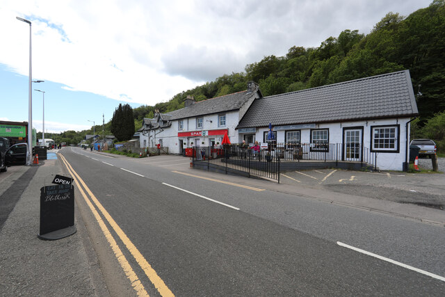
The local community in Creag an Iubhair is known for its warm hospitality and rich cultural traditions. Traditional Scottish music and folklore can often be experienced at local pubs and events. The area also boasts a vibrant arts and crafts scene, with many local artisans creating unique and authentic pieces.
In summary, Creag an Iubhair is a captivating destination that combines natural beauty, historical significance, and a vibrant community. Whether it's exploring the stunning landscapes, immersing in local history, or simply enjoying the warm hospitality, visitors to Creag an Iubhair are sure to be enchanted by its charm.
If you have any feedback on the listing, please let us know in the comments section below.
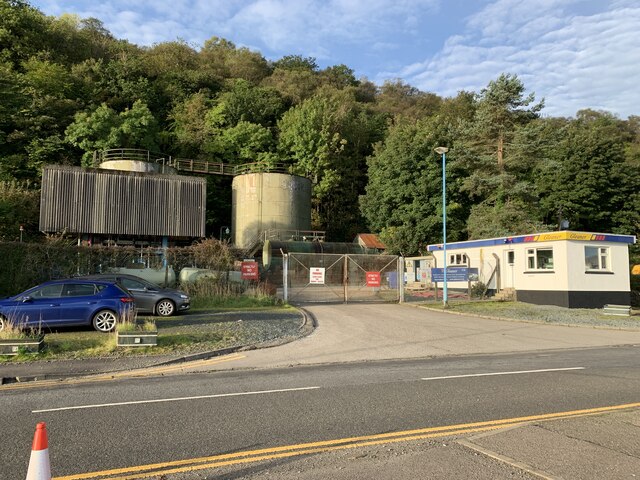
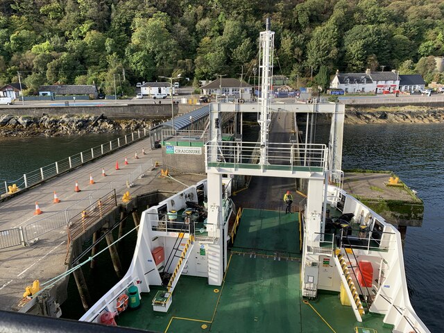
Creag an Iubhair Images
Images are sourced within 2km of 56.478287/-5.714926 or Grid Reference NM7137. Thanks to Geograph Open Source API. All images are credited.


Creag an Iubhair is located at Grid Ref: NM7137 (Lat: 56.478287, Lng: -5.714926)
Unitary Authority: Argyll and Bute
Police Authority: Argyll and West Dunbartonshire
Also known as: Craignure
What 3 Words
///alas.strike.scrubbing. Near Craignure, Argyll & Bute
Nearby Locations
Related Wikis

Mull and Iona Community Hospital
Mull and Iona Community Hospital is a community hospital in Java Road, Craignure, Scotland. It is managed by NHS Highland. == History == The facility was...
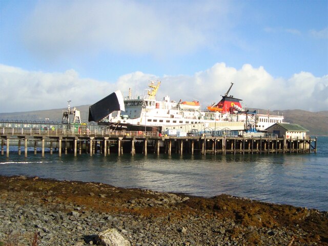
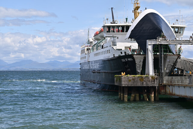
Craignure
Craignure (; Scottish Gaelic: Creag an Iubhair) is a village and the main ferry port on the Isle of Mull, Argyll and Bute, Scotland. The village is within...

Craignure railway station
Craignure is a station on the Isle of Mull, Argyll and Bute, Scotland, on the Isle of Mull Railway line. == External links == Railway’s website
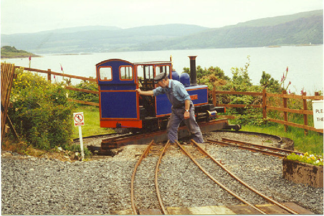
Isle of Mull Railway
The Isle of Mull Railway was a 10+1⁄4 in (260 mm) gauge line, 1+1⁄4 miles (2.0 km) long, which ran from the ferry terminal at Craignure to Torosay Castle...
Nearby Amenities
Located within 500m of 56.478287,-5.714926Have you been to Creag an Iubhair?
Leave your review of Creag an Iubhair below (or comments, questions and feedback).