Coille na Creige Briste

Wood, Forest in Ross-shire

Scotland

Coille na Creige Briste

Bogallan Free Church In the village of Bogallan north of the Beauly Firth.
Bogallan Free Church Credit: John Allan

Coille na Creige Briste, located in Ross-shire, Scotland, is a picturesque wood or forest that offers a serene and captivating natural experience. The name itself translates to "Wood of the Broken Rocks," which alludes to the unique geological features found within.

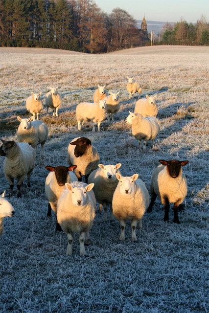
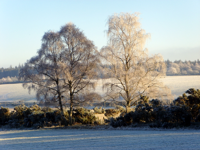
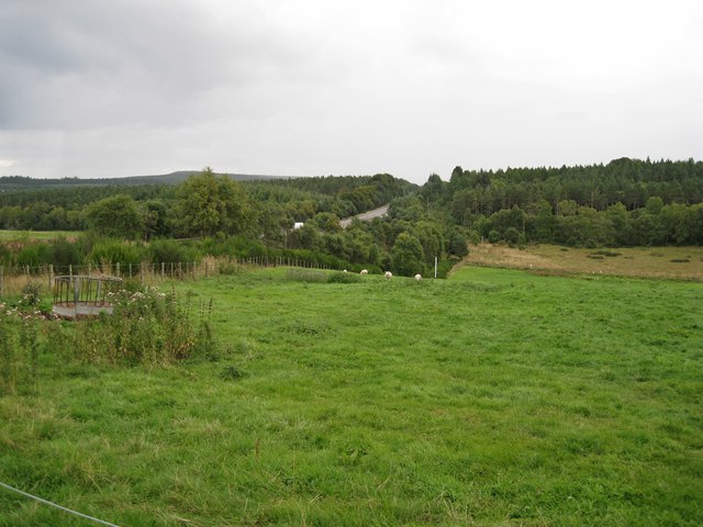
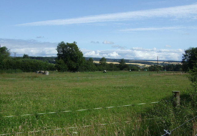
Covering an area of approximately 500 acres, Coille na Creige Briste boasts a diverse range of flora and fauna, making it an ideal destination for nature enthusiasts and hikers. The forest is predominantly composed of native Scottish species, including Scots pine, birch, and rowan trees, which create a vibrant and lush environment throughout the seasons.

The woodland floor is adorned with a rich carpet of wildflowers, providing a burst of color and attracting a variety of insect and bird species. Visitors may catch glimpses of red squirrels, roe deer, and even the elusive Scottish wildcat, adding to the sense of wilderness and natural beauty.

The landscape of Coille na Creige Briste is defined by its rocky outcrops and craggy cliffs, which offer stunning panoramic views of the surrounding countryside. These geological formations provide excellent opportunities for rock climbing and bouldering for those seeking an adrenaline rush.

Tranquil walking trails wind their way through the forest, offering visitors the chance to immerse themselves in the peaceful ambiance and discover hidden gems such as secluded waterfalls and tranquil lochs. Interpretive signs and information boards provide educational insights into the area's history, geology, and ecology, enhancing the overall experience.

Coille na Creige Briste is not only a haven for nature lovers but also a crucial habitat for countless species, contributing to the overall biodiversity and ecological health of Ross-shire.

If you have any feedback on the listing, please let us know in the comments section below.

Coille na Creige Briste Images

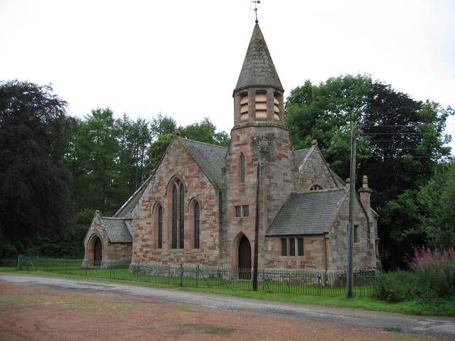
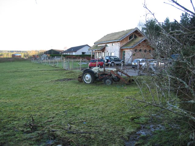
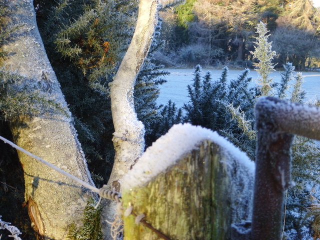
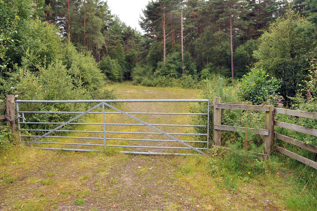
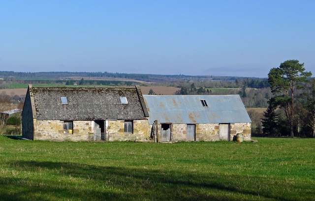
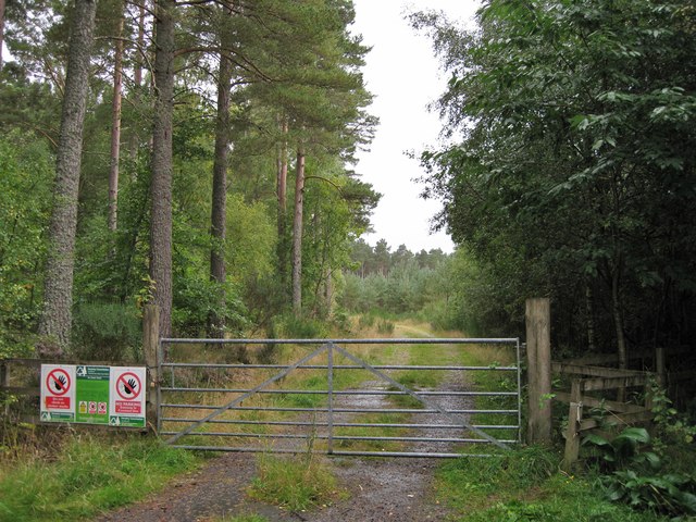
Images are sourced within 2km of 57.50889/-4.2941936 or Grid Reference NH6248. Thanks to Geograph Open Source API. All images are credited.

Bogallan Free Church In the village of Bogallan north of the Beauly Firth.
Bogallan Free Church
In the village of Bogallan north of the Beauly Firth.
Glachbeg Croft Glachbeg Croft is an education centre that is part of a six hectare croft on the Black Isle. It offers community events, training for adults with special needs and programmes around farming, the countryside and environmental education. Note the turf roof.
Glachbeg Croft
Glachbeg Croft is an education centre that is part of a six hectare croft on the Black Isle. It offers community events, training for adults with special needs and programmes around farming, the countryside and environmental education. Note the turf roof.
Waiting to be fed Sheep waiting for the arrival of the shepherd on Ashley Farm on the Black Isle.
Waiting to be fed
Sheep waiting for the arrival of the shepherd on Ashley Farm on the Black Isle.
Near Glachbeg, on a frosty morning.
Frosty corner, Glachbeg
Track into woods near Allangrange
Footpath through Allanglachwood An open pine plantation with a few well-used footpaths made by people exercising dogs from the kennels of Munlochy Animal Aid nearby.  The former Knockbain Free Church (now a private house) stands beyond the stream at the edge of the wood.
Footpath through Allanglachwood
An open pine plantation with a few well-used footpaths made by people exercising dogs from the kennels of Munlochy Animal Aid nearby. The former Knockbain Free Church (now a private house) stands beyond the stream at the edge of the wood.
Farm outbuildings near Allanglachwood These buildings have seen better days and by the quality of the grass outside them I feel they are seldom used
Farm outbuildings near Allanglachwood
These buildings have seen better days and by the quality of the grass outside them I feel they are seldom used
Barns in a field The larger of the two buildings is the right shape and size to have at one time have been a dwelling, though it looks like it has never had a chimney.
Barns in a field
The larger of the two buildings is the right shape and size to have at one time have been a dwelling, though it looks like it has never had a chimney.
Track entrance Gated entrance to a short track into a Forestry Commission plantation.
Track entrance
Gated entrance to a short track into a Forestry Commission plantation.
Tricky junction The main road is the A9 heading towards Inverness. The junction on the left is to an unclassified road. The signpost names Allangrange. The junction is typical of many on the A9 in the Inverness area. The road is a dual carriageway (not a motorway). The national speed limit of 70mph for cars applies. There is a cable-type central safety barrier, and no hard shoulder. Traffic leaving the A9 for Allengrange in the direction shown have a short deceleration lane, but traffic joining the A9 heading for Inverness has to pull out directly onto the main road. Even more dangerously, vehicles may cross the Inverness-bound carriageway - traffic coming from the Inverness direction has a short deceleration lane, and then has to wait for a gap to 'nip across', while vehicles may also turn right having exited the Allengrange turning, though there is no waiting room in the centre of the carriageways for vehicles longer than a car.
Tricky junction
The main road is the A9 heading towards Inverness. The junction on the left is to an unclassified road. The signpost names Allangrange. The junction is typical of many on the A9 in the Inverness area. The road is a dual carriageway (not a motorway). The national speed limit of 70mph for cars applies. There is a cable-type central safety barrier, and no hard shoulder. Traffic leaving the A9 for Allengrange in the direction shown have a short deceleration lane, but traffic joining the A9 heading for Inverness has to pull out directly onto the main road. Even more dangerously, vehicles may cross the Inverness-bound carriageway - traffic coming from the Inverness direction has a short deceleration lane, and then has to wait for a gap to 'nip across', while vehicles may also turn right having exited the Allengrange turning, though there is no waiting room in the centre of the carriageways for vehicles longer than a car.
Grazing land South of the A9, viewed from close to Teandore Farm.
Grazing land
South of the A9, viewed from close to Teandore Farm.
Parking area for Bogallan Church
Bogallan Church
Bogallan Church
Old farm buildings by Allanglach These buildings suggest to me that the surrounding field was once a stand alone croft.  It seems to have been assumed into a larger holding with the result that the buildings have been neglected.
Old farm buildings by Allanglach
These buildings suggest to me that the surrounding field was once a stand alone croft. It seems to have been assumed into a larger holding with the result that the buildings have been neglected.
Grazing near Allanglach From National Cycle Route 1.
Grazing near Allanglach
From National Cycle Route 1.
Farm track off National Cycle Route 1
National Cycle Route 1 near Allanglach Heading north west.
National Cycle Route 1 near Allanglach
Heading north west.
Show me another place!

Coille na Creige Briste is located at Grid Ref: NH6248 (Lat: 57.50889, Lng: -4.2941936)

Unitary Authority: Highland

Police Authority: Highlands and Islands

What 3 Words

///messaging.trout.chin. Near Inverness, Highland

Related Wikis

Artafallie

Artafallie (Scottish Gaelic: Àirde Fàillidh) is a hamlet on the Black Isle, in the Highland council area of Scotland. It is about two km (1.2 mi) to the...

Croftnacreich

Croftnacreich () is a hamlet on the Black Isle, in Ross and Cromarty in the Highland council area of Scotland. It is one mile (1.6 km) north-west of North...

Charlestown, Black Isle

Charleston is a village on the north shore of the Beauly Firth, about 1 mile west of the Kessock Bridge, in east Ross-shire, Scottish Highlands, within...

Arpafeelie

Arpafeelie (Scottish Gaelic: Arpa Phìlidh) is a hamlet on the Black Isle, in Ross and Cromarty, in the Highland council area of Scotland. It is situated...

Nearby Amenities

Located within 500m of 57.50889,-4.2941936
Created By: almien_coastlines
Source: PGS
Lat/Long: 57.504477/-4.292914
Created By: almien_coastlines
Source: PGS
Lat/Long: 57.504608/-4.292682
Created By: almien_coastlines
Source: PGS
Lat/Long: 57.504738/-4.292448
Created By: almien_coastlines
Source: PGS
Lat/Long: 57.504747/-4.291497
Balgunloune
Place: locality
Source: OS OpenData Streetview
Lat/Long: 57.5101918/-4.2990053
Artafallie
Name En: Artafallie
Name Gd: Airtir Fàillidh
Place: locality
Lat/Long: 57.5114534/-4.2905738
Power: pole
Lat/Long: 57.5073013/-4.2865761
Power: pole
Lat/Long: 57.5077329/-4.287544
Power: pole
Lat/Long: 57.5081766/-4.2885444
Power: pole
Lat/Long: 57.5086284/-4.2895377
Power: pole
Lat/Long: 57.5090312/-4.2904823
Power: pole
Lat/Long: 57.5085674/-4.2911387
Power: pole
Lat/Long: 57.5080114/-4.2919098
Power: pole
Lat/Long: 57.5075318/-4.2925916
Power: pole
Lat/Long: 57.5071547/-4.2938863
Power: pole
Lat/Long: 57.5067884/-4.2951728
Power: pole
Lat/Long: 57.5064003/-4.2964553
Power: pole
Lat/Long: 57.5060253/-4.2977377
Power: pole
Lat/Long: 57.5056449/-4.2990587
Power: pole
Lat/Long: 57.5086507/-4.3019067
Power: pole
Lat/Long: 57.5088055/-4.3014096
Power: pole
Lat/Long: 57.5090214/-4.3007176
Power: pole
Lat/Long: 57.5091783/-4.299843
Power: pole
Lat/Long: 57.5096209/-4.3004234
Power: pole
Lat/Long: 57.5099697/-4.3008718
Power: pole
Lat/Long: 57.5104896/-4.3015272
Power: pole
Lat/Long: 57.5131981/-4.2937858
Power: pole
Lat/Long: 57.5129082/-4.2929011
Power: pole
Lat/Long: 57.5125943/-4.291923
Power: pole
Lat/Long: 57.5122499/-4.29088
Power: pole
Lat/Long: 57.511936/-4.2898492
Power: pole
Lat/Long: 57.5115894/-4.2888143
Power: pole
Lat/Long: 57.5112624/-4.2877835
Power: pole
Lat/Long: 57.5110553/-4.2871098
Power: pole
Lat/Long: 57.5111294/-4.2886844
The data included in this document is from www.openstreetmap.org. The data is made available under ODbL.

Have you been to Coille na Creige Briste?

Leave your review of Coille na Creige Briste below (or comments, questions and feedback).