Slouch Moss
Wood, Forest in Lanarkshire
Scotland
Slouch Moss
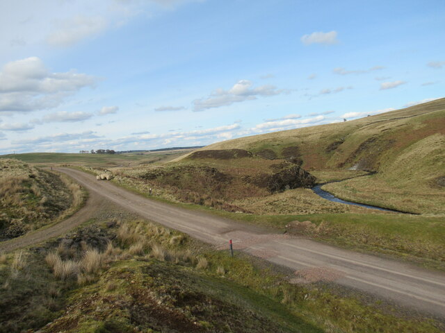
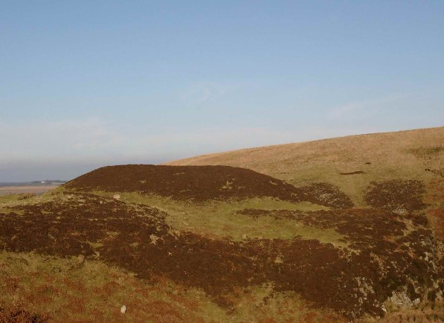
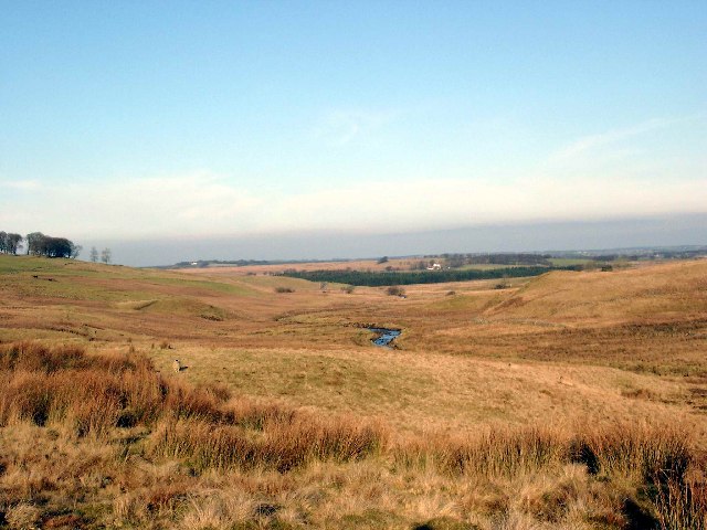
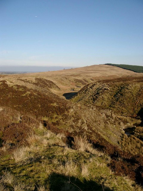
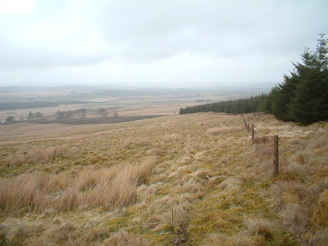
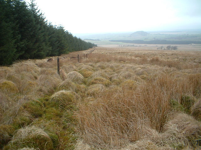
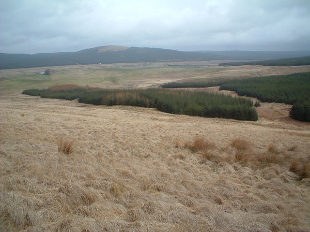
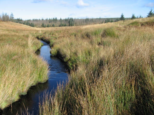
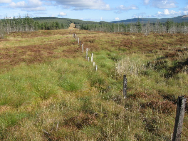
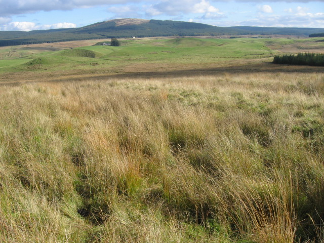
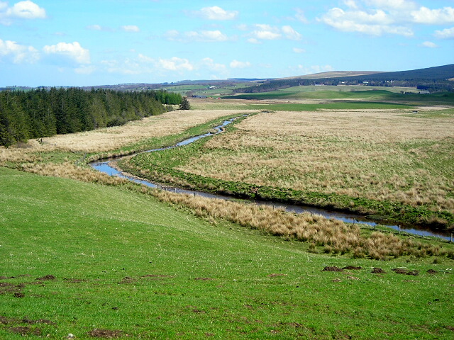
Slouch Moss is a picturesque woodland area located in Lanarkshire, Scotland. Situated amidst the rolling hills and beautiful landscapes, this forest is a true haven for nature lovers and outdoor enthusiasts. Spanning over a vast area, Slouch Moss is home to a diverse range of flora and fauna, making it a perfect destination for wildlife enthusiasts.
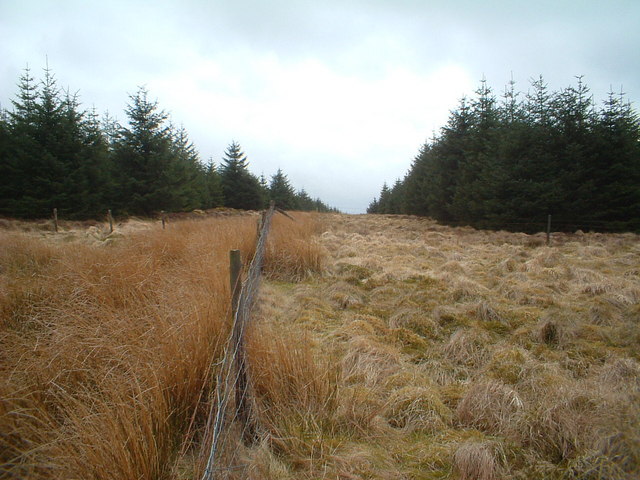
The forest is mainly comprised of native Scottish trees such as oak, birch, and pine, which create a dense and enchanting canopy. This dense foliage not only provides a peaceful and serene atmosphere but also offers ample shade during the hot summer months. The forest floor is adorned with a variety of mosses, ferns, and wildflowers, adding to the overall natural beauty of the area.
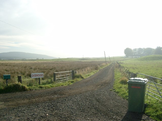
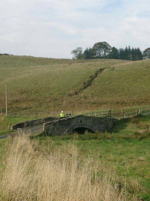
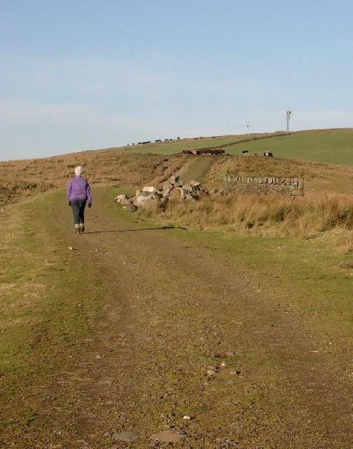
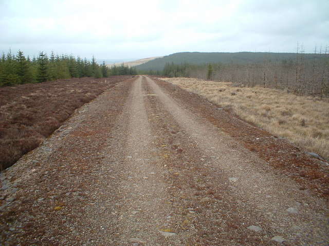
Slouch Moss is crisscrossed by numerous walking trails and paths, allowing visitors to explore the forest at their own pace. These well-maintained trails provide an opportunity to immerse oneself in the tranquility of nature while enjoying a leisurely stroll or a more energetic hike. Along the way, visitors may encounter various wildlife species, including deer, foxes, and numerous species of birds.
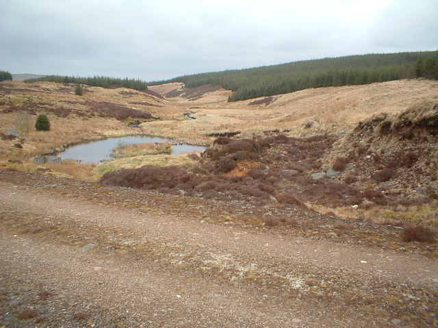
The forest also boasts a small lake, which serves as a habitat for water birds and offers a peaceful spot for picnics or simply enjoying the sounds of nature. Additionally, there are designated camping areas for those seeking a closer connection with the great outdoors.
Overall, Slouch Moss in Lanarkshire is a true gem, offering a unique blend of natural beauty, biodiversity, and recreational opportunities, making it a must-visit destination for nature enthusiasts and those seeking a peaceful escape from the hustle and bustle of everyday life.
If you have any feedback on the listing, please let us know in the comments section below.
Slouch Moss Images
Images are sourced within 2km of 55.588332/-4.179979 or Grid Reference NS6234. Thanks to Geograph Open Source API. All images are credited.
Slouch Moss is located at Grid Ref: NS6234 (Lat: 55.588332, Lng: -4.179979)
Unitary Authority: South Lanarkshire
Police Authority: Lanarkshire
What 3 Words
///clogging.vacancies.perform. Near Darvel, East Ayrshire
Nearby Locations
Related Wikis

Loch Gate
Loch Gate (NS 62389 37170), previously known as Loch Gait, was a freshwater loch, partly in the East Ayrshire Council Area and partly in South Lanarkshire...

Battle of Loudoun Hill
The Battle of Loudoun Hill was fought on 10 May 1307, between a Scots force led by King Robert the Bruce and the English commanded by Aymer de Valence...
Loudounhill railway station
Loudounhill (NS 60268 37191) was a railway station on the Darvel and Strathaven Railway serving a rural area that included the landmark of Loudoun Hill...
Loudoun Hill
Loudoun Hill (Scottish Gaelic: Beinn Lùghdain; also commonly Loudounhill) is a volcanic plug in East Ayrshire, Scotland. It is located near the head of...
Nearby Amenities
Located within 500m of 55.588332,-4.179979Have you been to Slouch Moss?
Leave your review of Slouch Moss below (or comments, questions and feedback).