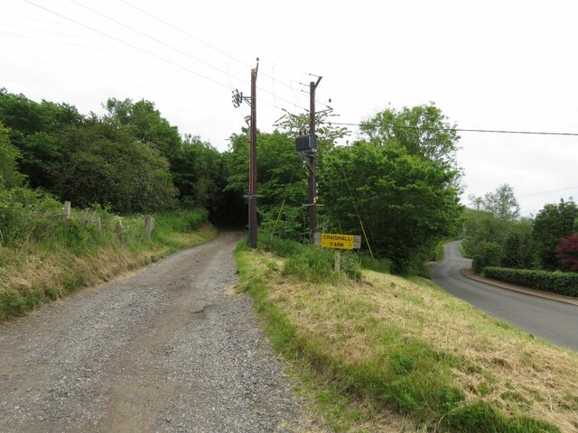
Craigrothie

Settlement in Fife

Scotland

Craigrothie

Farm track to Craighall Farm
Farm track to Craighall Farm Credit: Becky Williamson

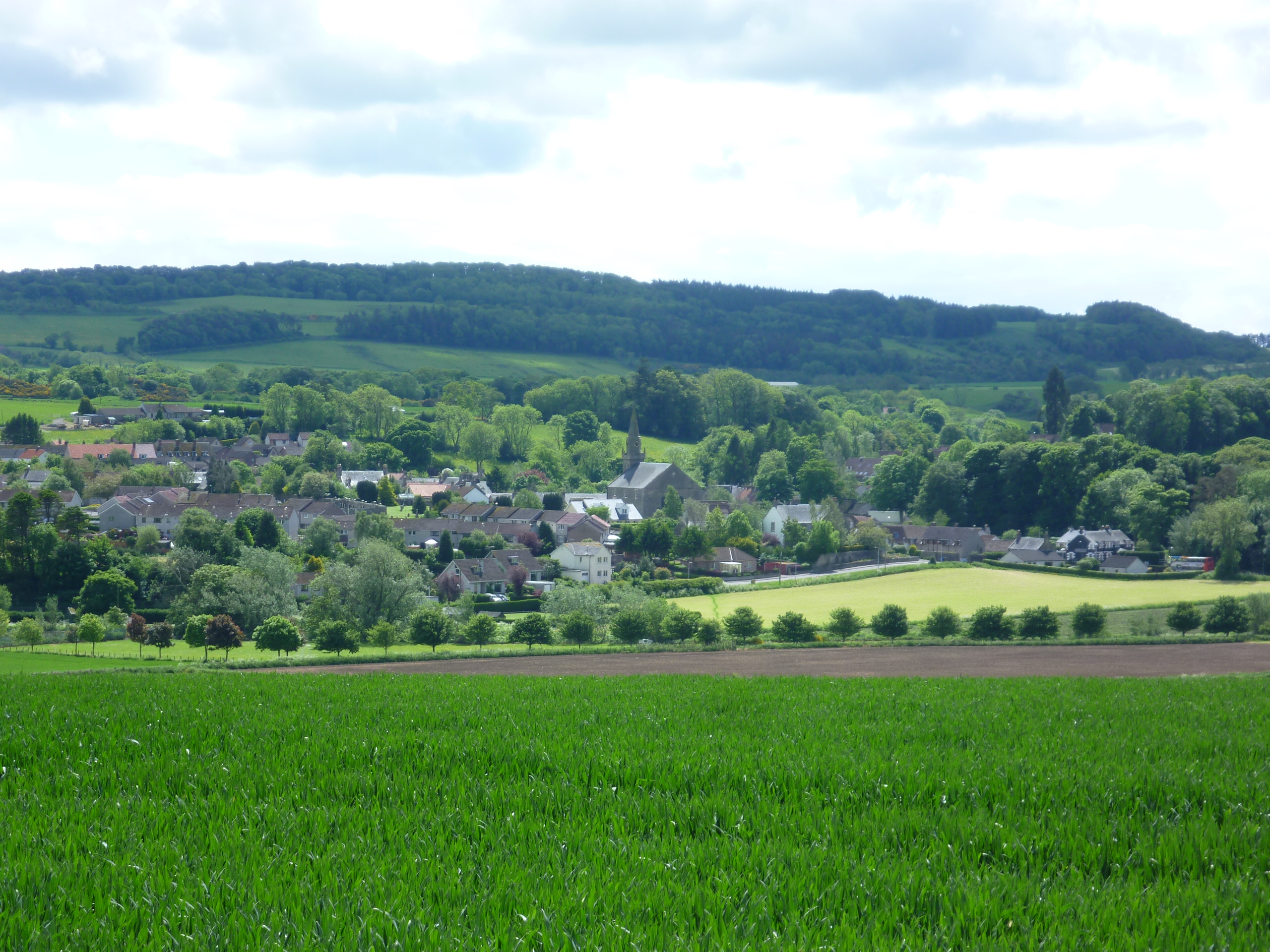
Craigrothie is a small village located in the county of Fife, Scotland. Situated approximately 7 miles southwest of Cupar, it is nestled amidst the picturesque countryside of the East Neuk region. The village is home to a population of around 320 people and is known for its tranquil and rural setting.

Craigrothie boasts a rich history, with evidence of human settlement dating back to the Bronze Age. The village is named after the nearby Craigrothie Hill, which offers stunning panoramic views of the surrounding landscape. The area is also known for its agricultural heritage, with farming playing a significant role in the local economy.

The village itself is characterized by charming traditional stone houses and well-maintained gardens. It has a close-knit community feel, with a village hall serving as a hub for various social activities and events. The local primary school, which provides education for children in the area, is an integral part of the community.

Despite its small size, Craigrothie benefits from its proximity to larger towns and cities, such as Cupar and St Andrews. This ensures that residents have easy access to a range of amenities, including shops, restaurants, and leisure facilities.

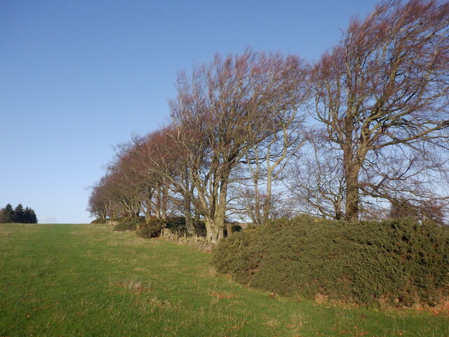
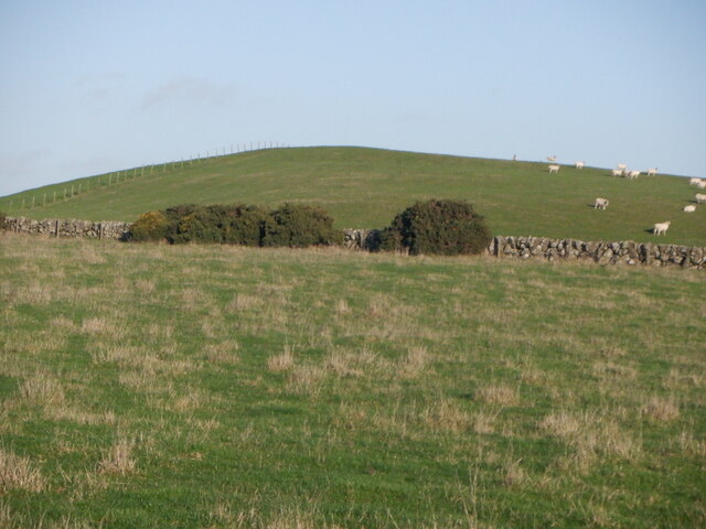
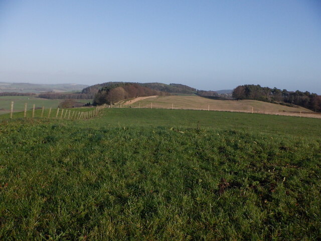
The surrounding countryside offers plenty of opportunities for outdoor activities, with walking trails and cycling routes attracting both locals and visitors. Additionally, Craigrothie is within a short drive of the scenic coastline, which boasts sandy beaches and picturesque fishing villages.

Overall, Craigrothie is a tranquil and scenic village, offering a peaceful and idyllic setting for residents and visitors alike.

If you have any feedback on the listing, please let us know in the comments section below.
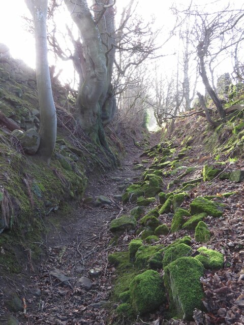
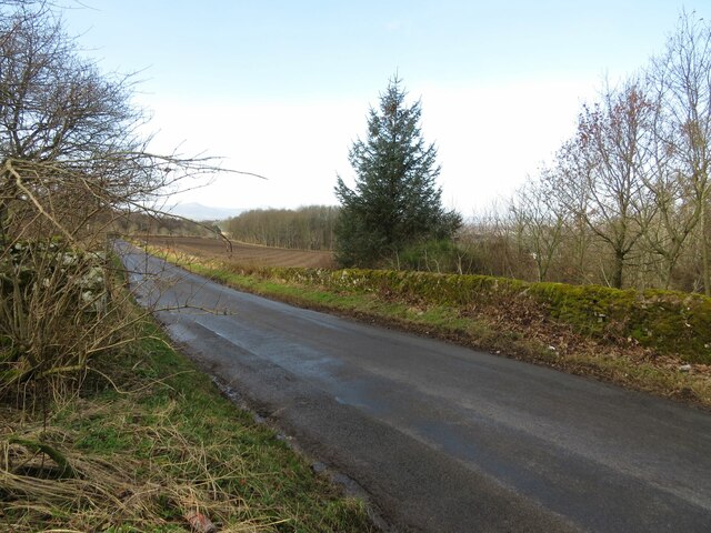
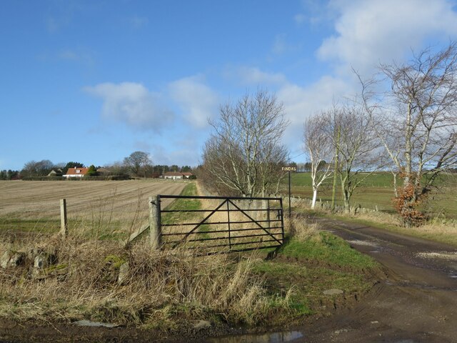
Craigrothie Images

Images are sourced within 2km of 56.285318/-3.002567 or Grid Reference NO3810. Thanks to Geograph Open Source API. All images are credited.

Farm track to Craighall Farm
Stubble, Chance Inn
Stubble, Chance Inn
Annotated benchmark, Woodburne Stables, Ceres Beautifully annotated cut benchmark, described on database at <span class="nowrap"><a title="https://www.bench-marks.org.uk/bm148058" rel="nofollow ugc noopener" href="https://www.bench-marks.org.uk/bm148058">Link</a><img style="margin-left:2px;" alt="External link" title="External link - shift click to open in new window" src="https://s1.geograph.org.uk/img/external.png" width="10" height="10"/></span>.
Annotated benchmark, Woodburne Stables, Ceres
Beautifully annotated cut benchmark, described on database at LinkExternal link.
Tod's Wood
Tod's Wood
Walton Hill
Walton Hill
Summit, Walton Hill
Summit, Walton Hill
The tattered remains of NCN1 I dont tag the National Cycle Network anymore since Sustrans dismantled large chunks of it making the signage confusing and actually spending money covering up the numbers and erecting silly signs like this. The route is of course still there but only promoted as a lot of fragments scattered over the land.

The road that they are worried about is quiet. (There is a short bit of A916 first)
The tattered remains of NCN1
I dont tag the National Cycle Network anymore since Sustrans dismantled large chunks of it making the signage confusing and actually spending money covering up the numbers and erecting silly signs like this. The route is of course still there but only promoted as a lot of fragments scattered over the land. The road that they are worried about is quiet. (There is a short bit of A916 first)
Benchmark, Chance Inn Ordnance Survey benchmark, described on database at <span class="nowrap"><a title="https://www.bench-marks.org.uk/bm163965" rel="nofollow ugc noopener" href="https://www.bench-marks.org.uk/bm163965">Link</a><img style="margin-left:2px;" alt="External link" title="External link - shift click to open in new window" src="https://s1.geograph.org.uk/img/external.png" width="10" height="10"/></span>. For context photo, see <a href="https://www.geograph.org.uk/photo/7462703">NO3710 : Wall, Chance Inn</a>.
Benchmark, Chance Inn
Ordnance Survey benchmark, described on database at LinkExternal link. For context photo, see NO3710 : Wall, Chance Inn.
Lovely old footpath to Scotstarvit Tower
Minor road to Springfield This road leaves the A916 sharply in the next square east (NO3711) and ends at Hammerhead Toll after crossing the A914 and passing through Springfield.
Minor road to Springfield
This road leaves the A916 sharply in the next square east (NO3711) and ends at Hammerhead Toll after crossing the A914 and passing through Springfield.
Track to Findas Farm
Scotstarvit Tower
Scotstarvit Tower
Scotstarvit Tower and Cottage from the south
Wall, Chance Inn There is an Ordnance Survey benchmark on this wall. See <a href="https://www.geograph.org.uk/photo/7430123">NO3710 : Benchmark, Chance Inn</a>
Wall, Chance Inn
There is an Ordnance Survey benchmark on this wall. See NO3710 : Benchmark, Chance Inn
Cedar tree In the grounds of Hill of Tarvit Mansion House near Cupar is this specimen of 'Cedrus atlantica', the Atlas Cedar. This tree has a slight blue tinge (known as the 'glaucous' form) indicating that it is one of the cultivated varieties. This species is native to Morocco and Algeria.
See also: <a title="https://www.geograph.org.uk/article/Hill-of-Tarvit-Mansion-House-Gardens" href="https://www.geograph.org.uk/article/Hill-of-Tarvit-Mansion-House-Gardens">Link</a>
Cedar tree
In the grounds of Hill of Tarvit Mansion House near Cupar is this specimen of 'Cedrus atlantica', the Atlas Cedar. This tree has a slight blue tinge (known as the 'glaucous' form) indicating that it is one of the cultivated varieties. This species is native to Morocco and Algeria. See also: Link
Hill of Tarvit mansion house This house near Cupar in Fife is owned by the National Trust for Scotland
Hill of Tarvit mansion house
This house near Cupar in Fife is owned by the National Trust for Scotland
Monument at Hill of Tarvit This monument stands on top of the Hill of Tarvit. The mansion house is just to the south. Fine views all over East Fife can be enjoyed up here.
Monument at Hill of Tarvit
This monument stands on top of the Hill of Tarvit. The mansion house is just to the south. Fine views all over East Fife can be enjoyed up here.
Scotstarvit Tower. A mediaeval Scottish tower house, with Hill of Tarvit to its right.
Scotstarvit Tower.
A mediaeval Scottish tower house, with Hill of Tarvit to its right.
Show me another place!

Craigrothie is located at Grid Ref: NO3810 (Lat: 56.285318, Lng: -3.002567)

Unitary Authority: Fife

Police Authority: Fife

What 3 Words

///tadpoles.hazy.roses. Near Cupar, Fife

Nearby Locations

Craigrothie

Related Wikis

Scotstarvit Tower

Scotstarvit Tower is a tower house in Fife, Scotland. It is situated 2 miles (3.2 km) south of Cupar, between Tarvit Hill and Walton Hill, south of the...

St Andrews Burghs (UK Parliament constituency)

St Andrews Burghs was a district of burghs constituency, representing various burghs of Fife, Scotland, in the House of Commons of the Parliament of the...

Hill of Tarvit

The Hill of Tarvit is a 20th-century mansion house and gardens in Fife, Scotland. They were designed by Sir Robert Lorimer and are today owned by the National...

Ceres, Fife

Ceres is a village in Fife, Scotland, located in a small glen approximately 2 miles (3 km) over the Ceres Moor from Cupar and 7 mi (11 km) from St Andrews...

Nearby Amenities

Located within 500m of 56.285318,-3.002567
Craigrothie
Is In: Fife, Scotland, UK
Place: hamlet
Lat/Long: 56.2848146/-3.0042815
Barrier: cattle_grid
Lat/Long: 56.2858226/-2.9983113
Ford: yes
Lat/Long: 56.2891732/-3.0002125
Telephone
Booth: K6
Covered: booth
Man Made: telephone_box
Source: survey
Lat/Long: 56.283491/-3.005096
Location: pole
Power: transformer;pole
Lat/Long: 56.2876089/-3.0076102
Power: pole
Lat/Long: 56.2873111/-3.0087676
Power: pole
Lat/Long: 56.2870357/-3.0098619
Power: pole
Lat/Long: 56.2883047/-2.9966212
Power: pole
Lat/Long: 56.2884327/-2.9978918
Power: pole
Lat/Long: 56.2885332/-2.9988106
Power: pole
Lat/Long: 56.288682/-3.0002622
Power: pole
Lat/Long: 56.2890497/-3.0011229
Power: pole
Lat/Long: 56.2887464/-3.0021544
Power: pole
Lat/Long: 56.288445/-3.0031825
Power: pole
Lat/Long: 56.288137/-3.0042106
Power: pole
Lat/Long: 56.2877483/-3.0051669
Power: pole
Lat/Long: 56.2873626/-3.0060823
Power: pole
Lat/Long: 56.2874934/-3.0069618
Power: pole
Lat/Long: 56.2880725/-2.9991077
Power: pole
Lat/Long: 56.2874517/-2.9995073
Power: pole
Lat/Long: 56.2871171/-3.0004347
Power: pole
Lat/Long: 56.286828/-3.0014166
Power: pole
Lat/Long: 56.286518/-3.0024652
Power: pole
Lat/Long: 56.28599/-3.0037768
Power: pole
Lat/Long: 56.2893786/-3.00024
Power: pole
Lat/Long: 56.2889445/-3.0005115
Defibrillator
Defibrillator Location: outside
Emergency: defibrillator
Indoor: no
Lat/Long: 56.2836751/-3.0051283
Entrance: main
Lat/Long: 56.2836623/-3.0051467
The data included in this document is from www.openstreetmap.org. The data is made available under ODbL.

Have you been to Craigrothie?

Leave your review of Craigrothie below (or comments, questions and feedback).