Craig's End

Settlement in Essex Braintree

England

Craig's End

Stambourne, St Peter & St Thomas
Stambourne, St Peter & St Thomas Credit: Dave Kelly

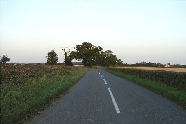
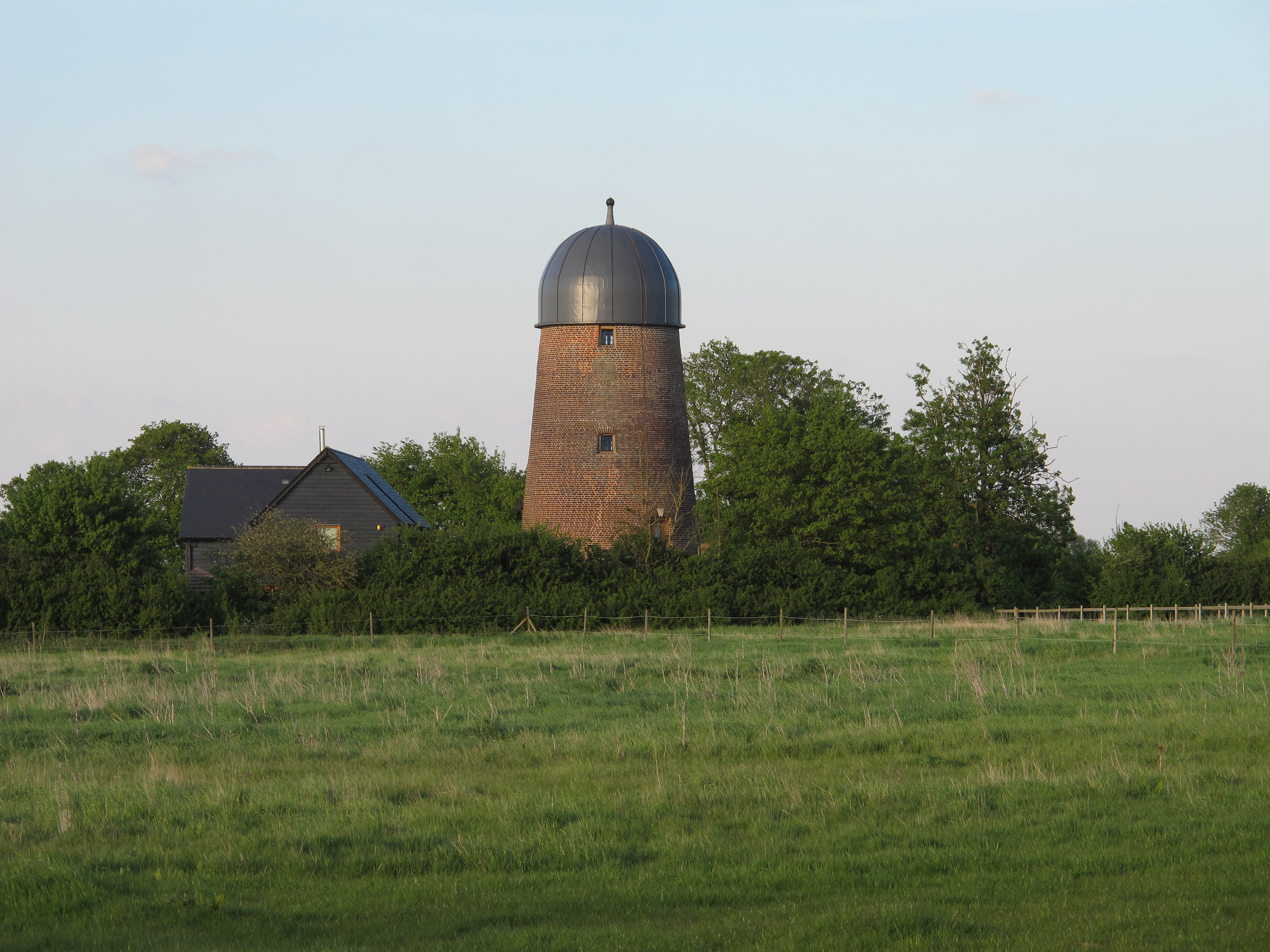
Craig's End is a small village located in the county of Essex, England. Situated in the northeastern part of the county, it lies approximately 12 miles southeast of the city of Chelmsford. The village is nestled amidst picturesque countryside, with rolling hills and green fields surrounding it.

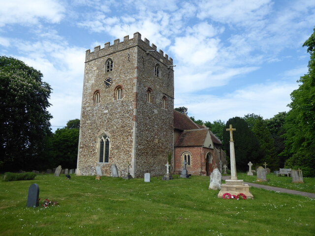
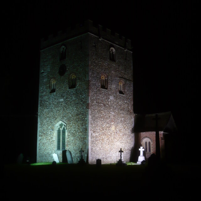
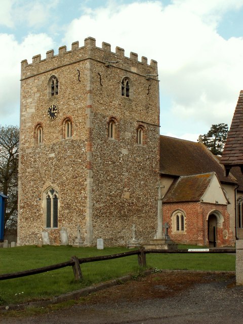
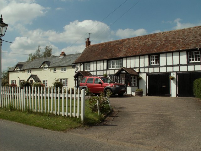
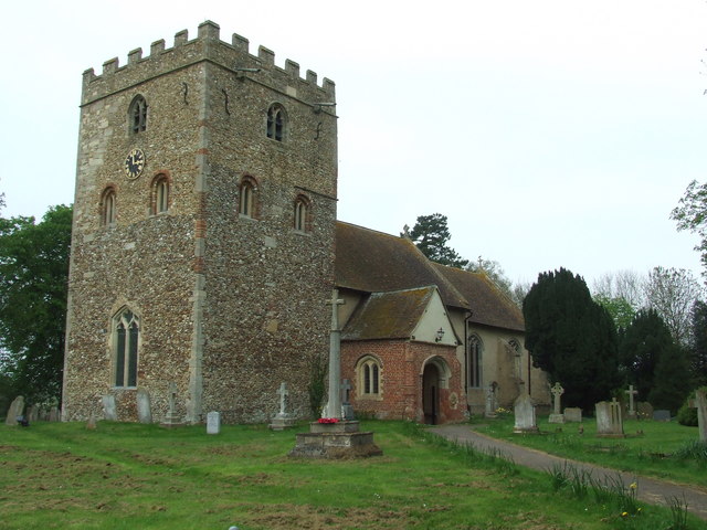
Despite its small size, Craig's End has a close-knit community that prides itself on its friendly and welcoming atmosphere. The village is characterized by its quaint charm, with traditional architecture and well-maintained cottages lining its streets. The local church, St. Mary's, is a prominent landmark and serves as a focal point for the community.

Residents of Craig's End enjoy a peaceful and tranquil lifestyle, away from the hustle and bustle of larger towns and cities. The village is surrounded by beautiful natural landscapes, making it a popular destination for outdoor enthusiasts. The nearby countryside offers opportunities for hiking, cycling, and horseback riding, with several scenic trails to explore.

Despite its rural setting, Craig's End is conveniently located within easy reach of amenities. The village has a local convenience store for everyday necessities, and a cozy village pub where locals gather for a drink or a meal. Additionally, the nearby town of Chelmsford provides a wide range of shopping, dining, and entertainment options.

Overall, Craig's End offers a peaceful and idyllic lifestyle in the heart of the Essex countryside, making it an attractive place to reside for those seeking a slower pace of life and a strong sense of community.

If you have any feedback on the listing, please let us know in the comments section below.
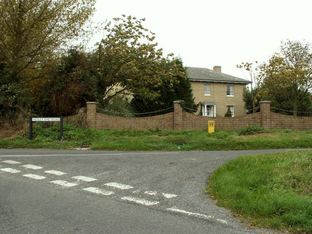
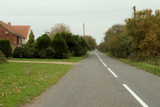
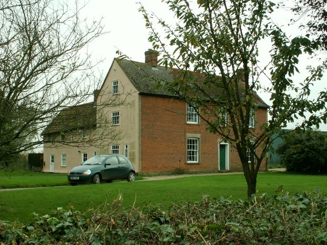
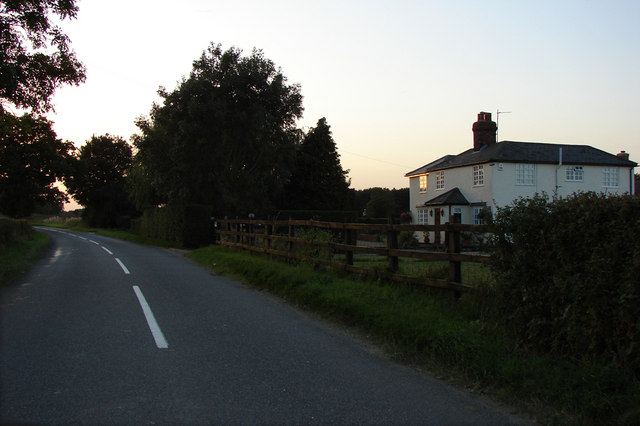
Craig's End Images

Images are sourced within 2km of 52.009854/0.496724 or Grid Reference TL7137. Thanks to Geograph Open Source API. All images are credited.

Stambourne, St Peter & St Thomas
Stambourne church tower at night The church tower is brilliantly floodlit at night, as are some of the gravestones in front of it.
Stambourne church tower at night
The church tower is brilliantly floodlit at night, as are some of the gravestones in front of it.
St. Peter & St. Thomas Becket church, Stambourne, Essex This magnificent 11th century Norman church tower is more like a small castle keep. It has many reused Roman bricks around the tower windows and on some corners, and the tower walls are 4ft thick. The nave is 14th century and the chancel is 16th century. This picture also shows its lovely tudor porch.
St. Peter & St. Thomas Becket church, Stambourne, Essex
This magnificent 11th century Norman church tower is more like a small castle keep. It has many reused Roman bricks around the tower windows and on some corners, and the tower walls are 4ft thick. The nave is 14th century and the chancel is 16th century. This picture also shows its lovely tudor porch.
Cottages at Stambourne Green, Essex Stambourne Green is a part of the village of Stambourne, which is quite a sprawling village in north Essex.
Cottages at Stambourne Green, Essex
Stambourne Green is a part of the village of Stambourne, which is quite a sprawling village in north Essex.
Farmhouse at Hill Farm
Public Footpath
Public Footpath
The road through Robinhood End
Farmhouse at Robin Hood Farm On the porch there is a date that says 1699.
Farmhouse at Robin Hood Farm
On the porch there is a date that says 1699.
Farmhouse at Great Tagley Farm, close to Stambourne
A cottage on Harrow Hill Harrow Hill is the name of the road.
A cottage on Harrow Hill
Harrow Hill is the name of the road.
House near Chapelend way Looking W.N.W. in early evening light
House near Chapelend way
Looking W.N.W. in early evening light
Road to Chapelend Way Looking E.S.E. early evening. A large house is on the left by the trees.
Road to Chapelend Way
Looking E.S.E. early evening. A large house is on the left by the trees.
Behind Levitt's Farm, south-west of Stambourne The footpath is signed off the road in a NW direction, opposite Robin Hood Farm and alongside a small copse adjoining Levitt's Farm. It gradually bends round the copse to the right: this photo was taken almost due north, early evening.
Behind Levitt's Farm, south-west of Stambourne
The footpath is signed off the road in a NW direction, opposite Robin Hood Farm and alongside a small copse adjoining Levitt's Farm. It gradually bends round the copse to the right: this photo was taken almost due north, early evening.
Looking SE towards Robin Hood Farm This photo is taken on the bend in the boundary of the copse on the left. The road is just the other side of the hedge in the distance
Looking SE towards Robin Hood Farm
This photo is taken on the bend in the boundary of the copse on the left. The road is just the other side of the hedge in the distance
Field and hedge south of Elm's Farm. A crop of rape on the way. A footpath runs parallel to this hedge towards Mortimer's Farm.
Field and hedge south of Elm's Farm.
A crop of rape on the way. A footpath runs parallel to this hedge towards Mortimer's Farm.
Field north of Elm's Farm A footpath follows the hedgerow north-westwards towards Stambourne.
Field north of Elm's Farm
A footpath follows the hedgerow north-westwards towards Stambourne.
St. Peter And St. Thomas Stambourne The church of St. Peter and St. Thomas Stambourne, Essex for more info on the church see <span class="nowrap"><a title="http://www.essexchurches.info/church.asp?p=Stambourne&ty=e&id=001&ts=001" rel="nofollow ugc noopener" href="http://www.essexchurches.info/church.asp?p=Stambourne&ty=e&id=001&ts=001">Link</a><img style="margin-left:2px;" alt="External link" title="External link - shift click to open in new window" src="https://s1.geograph.org.uk/img/external.png" width="10" height="10"/></span>
St. Peter And St. Thomas Stambourne
The church of St. Peter and St. Thomas Stambourne, Essex for more info on the church see LinkExternal link
St Peter and St Thomas Becket Church, Stambourne, Essex
Show me another place!

Craig's End is located at Grid Ref: TL7137 (Lat: 52.009854, Lng: 0.496724)

Administrative County: Essex

District: Braintree

Police Authority: Essex

What 3 Words

///dream.fish.scorching. Near Great Yeldham, Essex

Nearby Locations

Tagley Wood Craig's End

Related Wikis

Stambourne

Stambourne is a village and civil parish in the Braintree District in north Essex, England. The civil parish population at the 2011 Census was 409. Stambourne...

Stambourne Hall

Stambourne Hall is a country house within the civil parish of Stambourne, Essex, England. It lies to behind to the northeast of St. Peter & St. Thomas...

Stambourne Green

Stambourne Green is a hamlet in Essex. A 19th century gazetteer describes it as being near another hamlet, Westley End, which no longer appears to exist...

Gainsford End

Gainsford End is a hamlet in the civil parish of Toppesfield, and the Braintree district of Essex, England. The hamlet is 1.5 miles (2.4 km) southwest...

Have you been to Craig's End?

Leave your review of Craig's End below (or comments, questions and feedback).