Ascog Point
Coastal Feature, Headland, Point in Buteshire
Scotland
Ascog Point
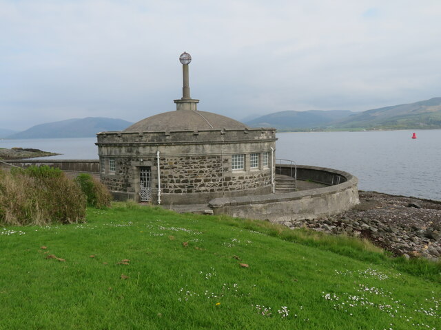
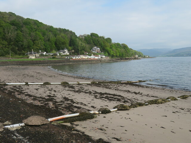
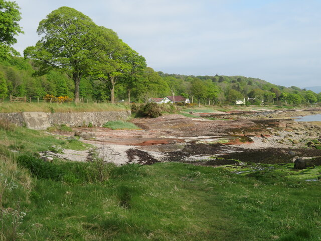
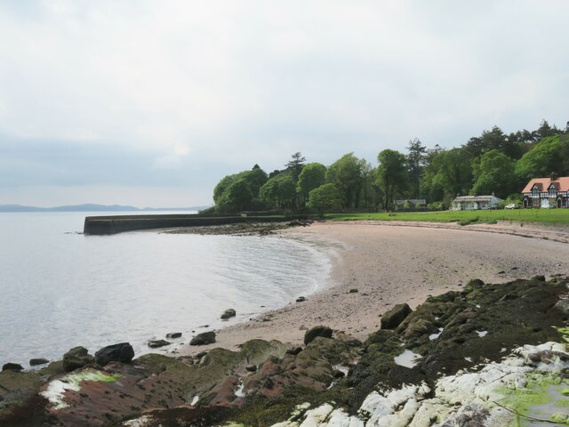
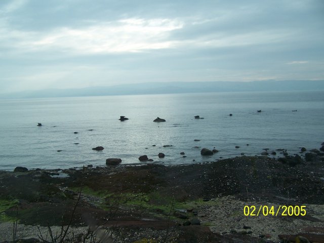
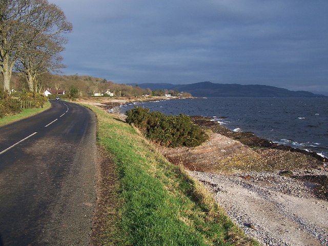
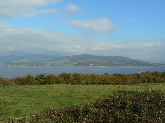
Ascog Point is a prominent coastal feature located in the region of Buteshire, Scotland. Situated on the eastern shore of the picturesque Isle of Bute, this headland juts out into the Firth of Clyde, offering breathtaking panoramic views of the surrounding landscape.
Characterized by its rugged cliffs and rocky terrain, Ascog Point stands as a natural boundary between the expansive Ascog Bay to the north and the tranquil waters of the Firth of Clyde to the south. The point itself is formed by the erosion of the underlying sandstone and conglomerate rock, creating a distinctive and striking geological formation.
This coastal feature is a popular destination for nature enthusiasts and hikers due to its stunning vistas and diverse wildlife. The cliffs provide nesting sites for various bird species, including guillemots, razorbills, and kittiwakes, making it an ideal spot for birdwatching. Additionally, the surrounding waters are inhabited by seals and porpoises, adding to the allure of the area.
The headland is accessible via a footpath that winds its way along the cliff edge, offering visitors the opportunity to explore the rugged coastline and immerse themselves in the natural beauty of the area. Along the path, one can also find remnants of a World War II gun emplacement, serving as a reminder of the region's historical significance.
Overall, Ascog Point is a captivating coastal feature that showcases the sheer beauty and diversity of Scotland's natural landscapes. Its unique geological formations, abundant wildlife, and stunning views make it a must-visit destination for anyone seeking to experience the unparalleled charm of Buteshire.
If you have any feedback on the listing, please let us know in the comments section below.
Ascog Point Images
Images are sourced within 2km of 55.82564/-5.0211527 or Grid Reference NS1063. Thanks to Geograph Open Source API. All images are credited.
![Seashore rocks A large boulder on the shore with patches of smooth old red sandstone, and with large areas of the Bute Conglomerate [the knobbly stuff] of Devonian age.](https://s0.geograph.org.uk/geophotos/07/17/82/7178220_bd5c5771.jpg)
Ascog Point is located at Grid Ref: NS1063 (Lat: 55.82564, Lng: -5.0211527)
Unitary Authority: Argyll and Bute
Police Authority: Argyll and West Dunbartonshire
What 3 Words
///unite.permanent.case. Near Rothesay, Argyll & Bute
Nearby Locations
Related Wikis

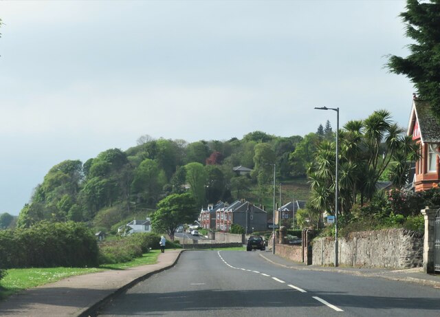
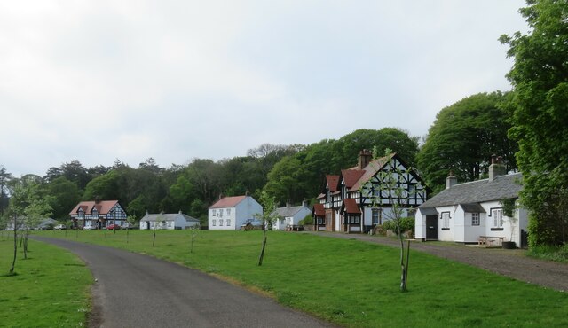
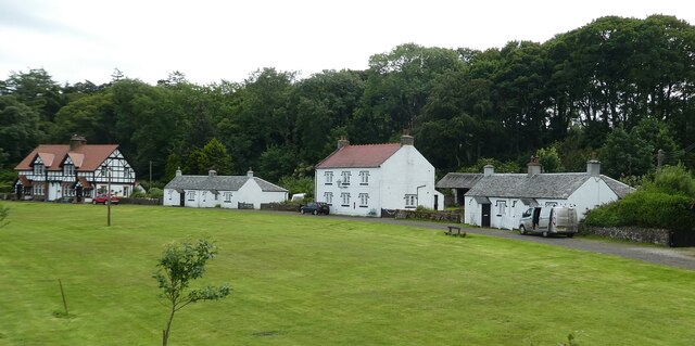
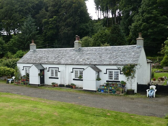
Ascog
Ascog (Scottish Gaelic: Àsgaig) is a small village on the Isle of Bute, within Argyll and Bute council area, Scotland. The village is within the parish...
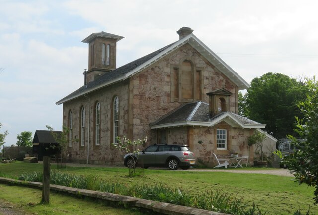
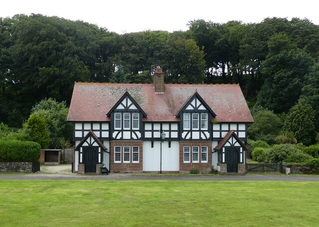
Ascog House
Ascog House is a large 17th-century mansion house at Ascog on the Isle of Bute, southwest Scotland. The house is in the care of the Landmark Trust, and...

Balmory Hall
Balmory Hall is a category A listed Victorian Italianate mansion located near Ascog in the Isle of Bute, Scotland, just west of Ascog House. The hall is...
Loch Ascog
Loch Ascog is a small reservoir on the east coast of the island of Bute, in the council area of Argyll and Bute, Scotland. The loch supplies water to the...

Rothesay
Rothesay ( ROTH-see; Scottish Gaelic: Baile Bhòid [ˈpalə ˈvɔːtʲ]) is the principal town on the Isle of Bute, in the council area of Argyll and Bute, Scotland...

Victoria Hospital, Rothesay
Victoria Hospital is a health facility in High Street, Rothesay, Scotland. It is managed by NHS Highland. == History == The facility has its origins in...

Rothesay Academy
Rothesay Academy is a secondary school in the town of Rothesay on the Isle of Bute. == Feeder schools == Rothesay Academy has 3 associated primary schools...
Bute FM
Bute FM is a Community Radio station for the Isle of Bute, broadcasting in stereo on 96.5 FM and simultaneously broadcasting online via a live internet...
Nearby Amenities
Located within 500m of 55.82564,-5.0211527Have you been to Ascog Point?
Leave your review of Ascog Point below (or comments, questions and feedback).