Valleyfield Top
Coastal Feature, Headland, Point in Pembrokeshire
Wales
Valleyfield Top
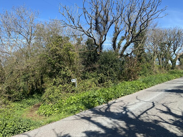
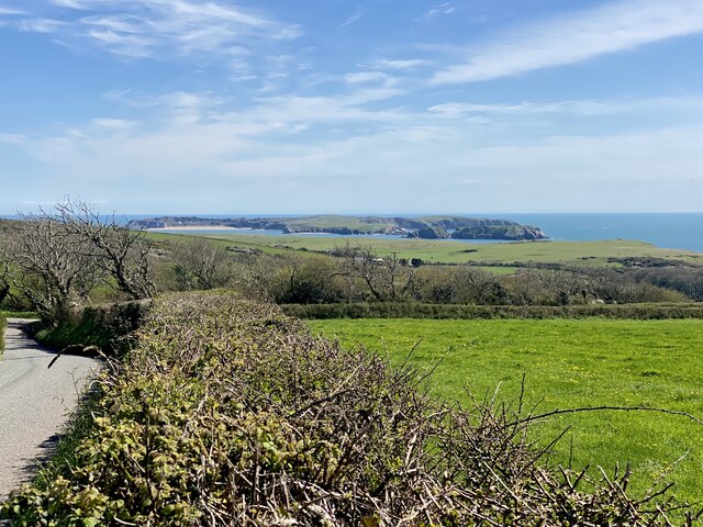
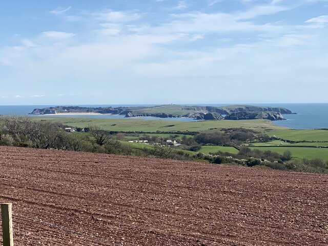
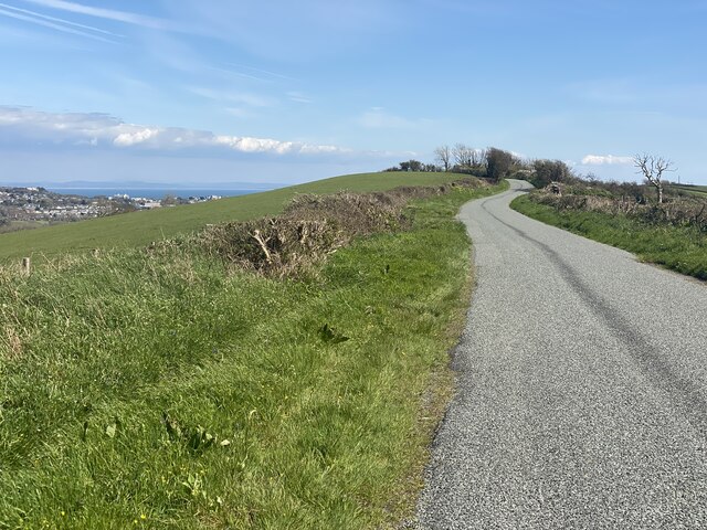
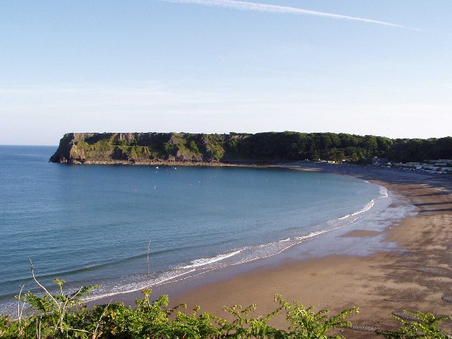
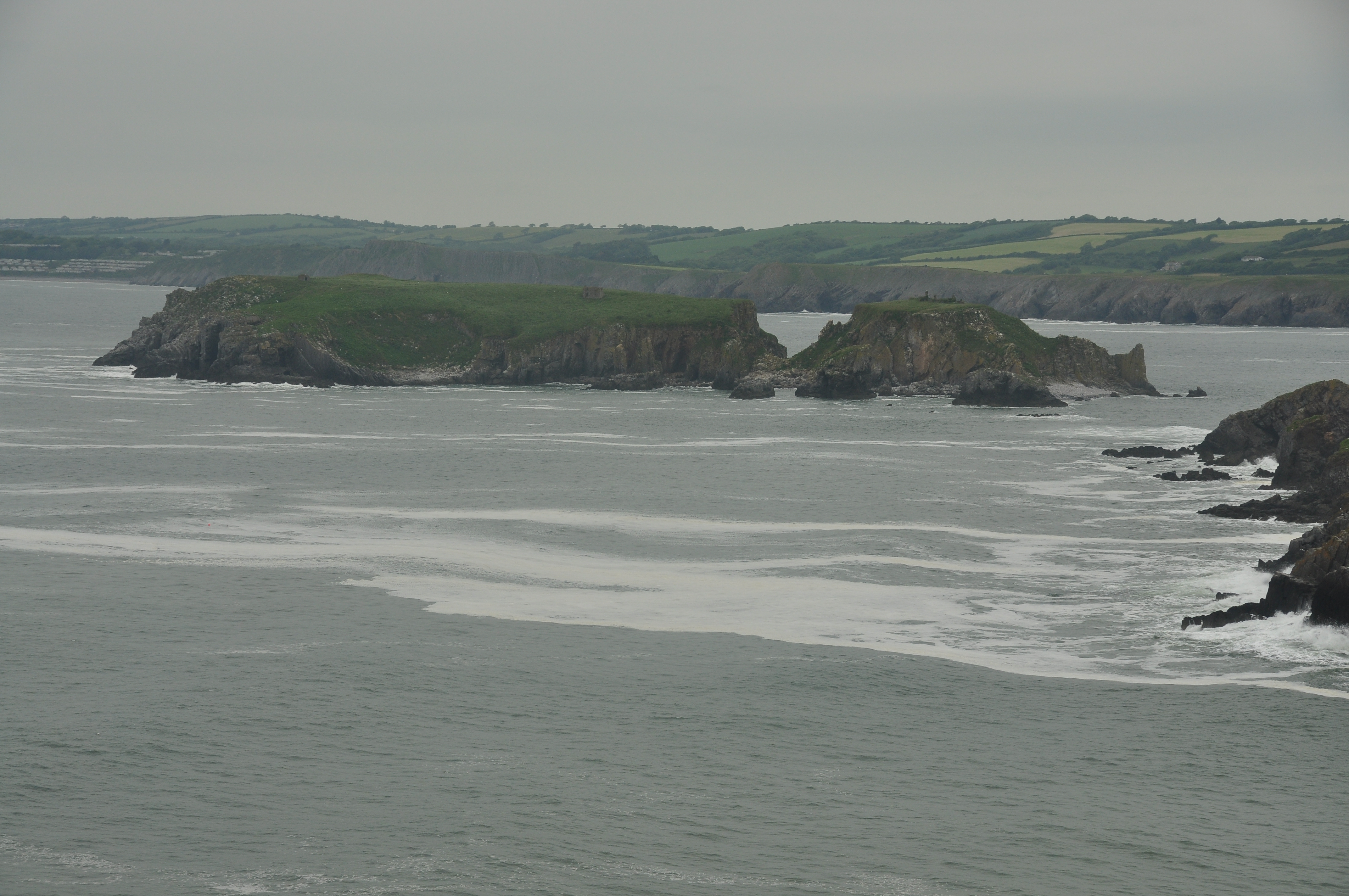
Valleyfield Top is a prominent headland located in Pembrokeshire, Wales. Situated along the stunning coastline, it offers magnificent views of the surrounding rugged cliffs and the vast expanse of the Atlantic Ocean. This coastal feature is known for its dramatic cliffs that rise abruptly from the sea, creating an impressive backdrop against the crashing waves below.
The headland is formed of sedimentary rocks, primarily sandstone and shale, which have been shaped by erosion over millions of years. These rocks provide a unique geological history, showcasing layers of different colors and textures. The exposed cliffs also reveal fossilized remains of ancient sea creatures, allowing geologists and fossil enthusiasts to study the region's rich past.
Valleyfield Top is a popular spot for walkers and hikers, offering a range of coastal paths that wind their way around the headland. These paths provide breathtaking views and opportunities to observe the diverse marine and birdlife that inhabit the area. Seabirds, such as puffins, gannets, and fulmars, can often be spotted nesting on the cliffs.
In addition to its natural beauty, Valleyfield Top holds historical significance. Remnants of an Iron Age fort can be found on the headland, indicating human occupation in the area dating back thousands of years. The fort's location on the high cliffs suggests it may have served as a defensive structure, providing strategic advantages for its inhabitants.
Whether visitors are drawn to Valleyfield Top for its geological wonders, panoramic views, or historical remnants, this headland offers a captivating experience for nature enthusiasts and history buffs alike.
If you have any feedback on the listing, please let us know in the comments section below.
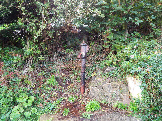
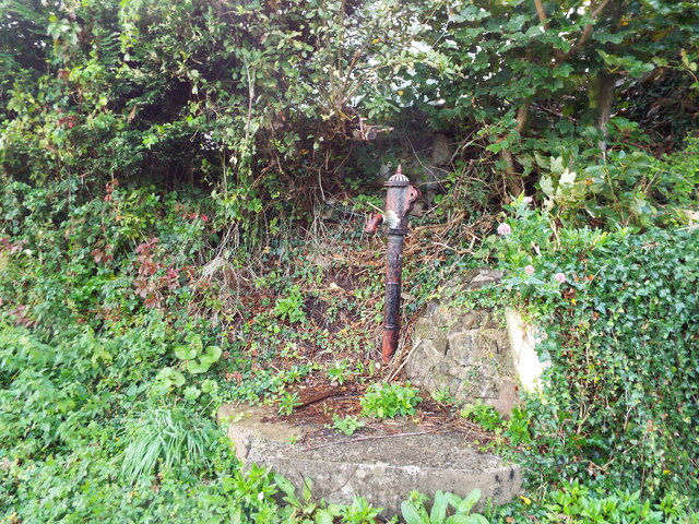
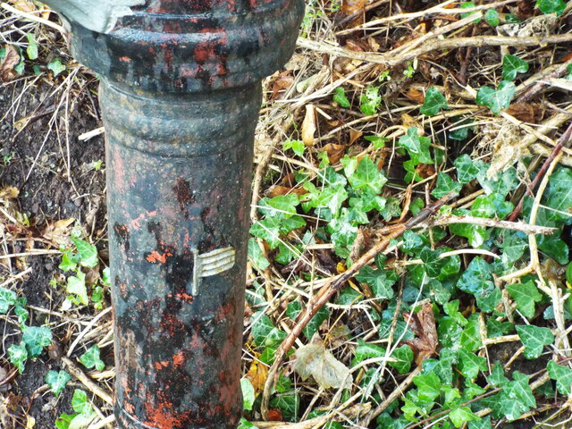
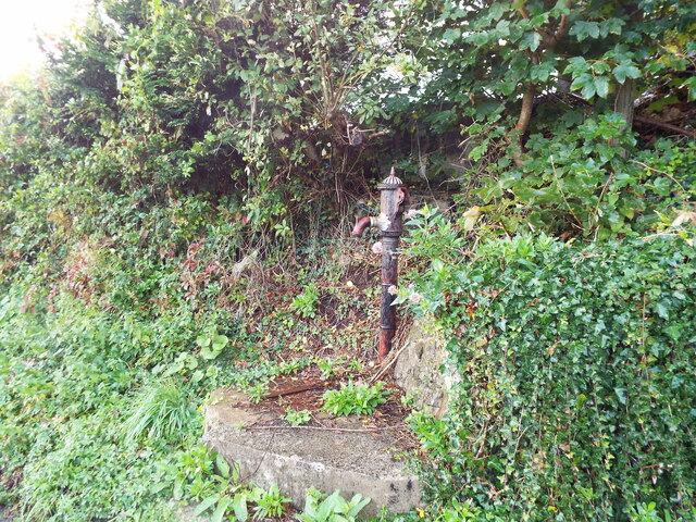
Valleyfield Top Images
Images are sourced within 2km of 51.65197/-4.7357929 or Grid Reference SS1098. Thanks to Geograph Open Source API. All images are credited.


Valleyfield Top is located at Grid Ref: SS1098 (Lat: 51.65197, Lng: -4.7357929)
Unitary Authority: Pembrokeshire
Police Authority: Dyfed Powys
What 3 Words
///renders.joyously.champions. Near Penally, Pembrokeshire
Nearby Locations
Related Wikis
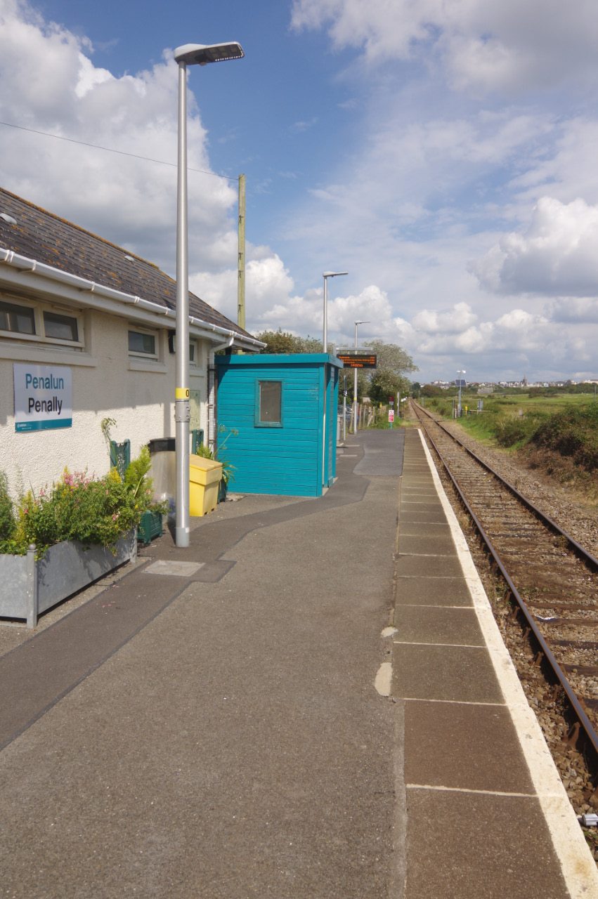
Penally railway station
Penally railway station serves the village of Penally in Pembrokeshire, Wales. It is on the Pembroke Dock branch of the West Wales Line operated by Transport...
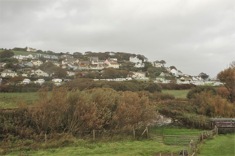
Penally
Penally (Welsh: Penalun) is a coastal village, parish and community 1 mile (1.6 km) southwest of Tenby in Pembrokeshire, Wales. The village is known for...
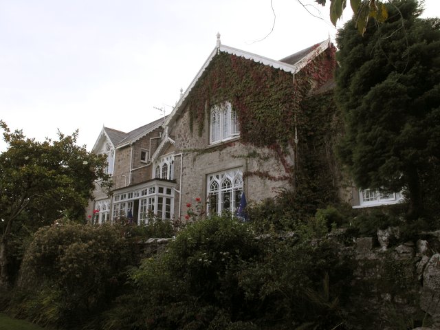
Penally Abbey
Penally Abbey is an old rectory, now the Penally Abbey Country House Hotel and Restaurant overlooking Carmarthen Bay in the village of Penally, about 1...
St Margaret's Island
St Margaret's Island (Welsh: Ynys Farged) is a small tidal island to the northwest of Caldey Island in Carmarthen Bay, Pembrokeshire, Wales. == Name... ==

Limekilns at Kiln Park, Pembrokeshire
The limekilns at Kiln Park are heritage listed disused limekilns now located in the grounds of a holiday park, Kiln Park, near the village of Penally,...

Lydstep Haven
Lydstep Haven, known in ancient times as Lis Castell, is an area in Pembrokeshire, Wales, in the community of Manorbier. Both the beach and caravan park...
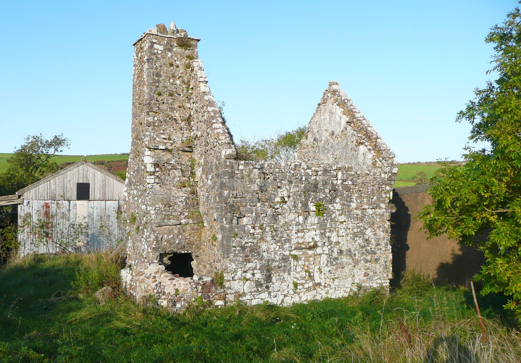
Carswell Medieval House
Carswell Medieval House is a Grade II*-listed historic stone ruin of a medieval tenant farm in the village of Penally, near St Florence in Tenby. Visit...

Gumfreston
Gumfreston is a parish and small village 1 mile (1.6 km) from St. Florence and 2 miles (3.2 km) from Tenby, south Pembrokeshire, Wales. It is in the community...
Nearby Amenities
Located within 500m of 51.65197,-4.7357929Have you been to Valleyfield Top?
Leave your review of Valleyfield Top below (or comments, questions and feedback).