Hill of Ascog

Hill, Mountain in Buteshire

Scotland

Hill of Ascog

Post box and old pier head, Mountstuart Road The post box is an interesting one dating from the reign of George V. Printed into the structure is an arrow and the word 'STAMPS', with the remains of an old stamp vending machine on the far side. Here you would purchase your 2d stamp before writing a postcard to say what a lovely time you were having in Rothesay.
Post box and old pier head, Mountstuart Road Credit: Gordon Hatton

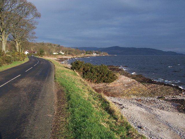
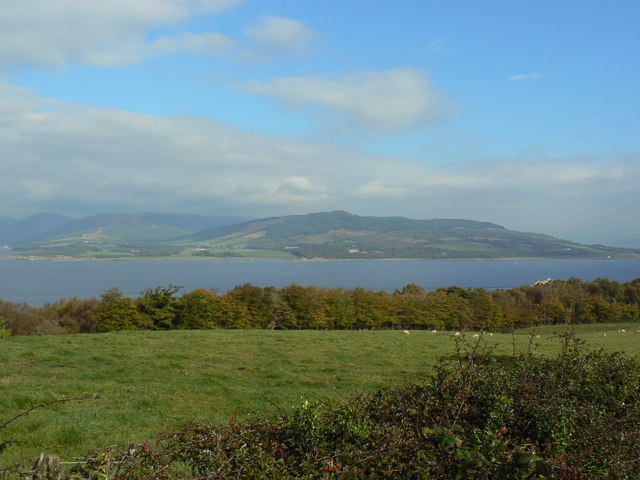
Hill of Ascog is a prominent natural feature located in the Buteshire region of Scotland. Rising to an elevation of approximately 265 meters (869 feet), it is considered a hill rather than a mountain due to its moderate height. The hill is situated about 2.5 kilometers (1.5 miles) southeast of the village of Ascog, offering stunning panoramic views of the surrounding countryside and the nearby Isle of Bute.

The Hill of Ascog is characterized by its gentle slopes covered in lush green vegetation, which provides a haven for a diverse range of plant and animal species. The area is home to a variety of native flora, including heather, gorse, and wildflowers, creating a vibrant and colorful landscape throughout the year. The hill also features a mixture of deciduous and coniferous trees, adding to its scenic beauty.

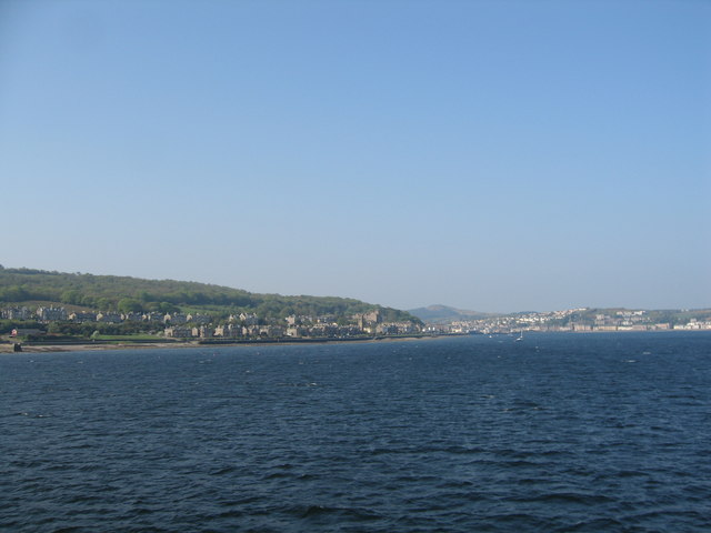
The hill is a popular destination for outdoor enthusiasts, nature lovers, and hikers who can enjoy several walking trails that wind their way to the summit. From the top, visitors are rewarded with breathtaking views of the surrounding countryside, including the picturesque coastline and the sparkling waters of the Firth of Clyde.

The Hill of Ascog offers a peaceful and tranquil escape from the hustle and bustle of everyday life. Its natural beauty, diverse wildlife, and stunning vistas make it a must-visit location for those seeking a connection with nature or simply a place to unwind and enjoy the serenity of the Scottish countryside.

If you have any feedback on the listing, please let us know in the comments section below.

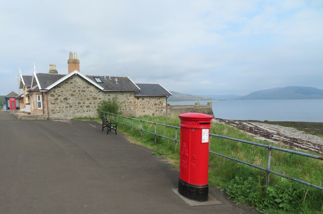
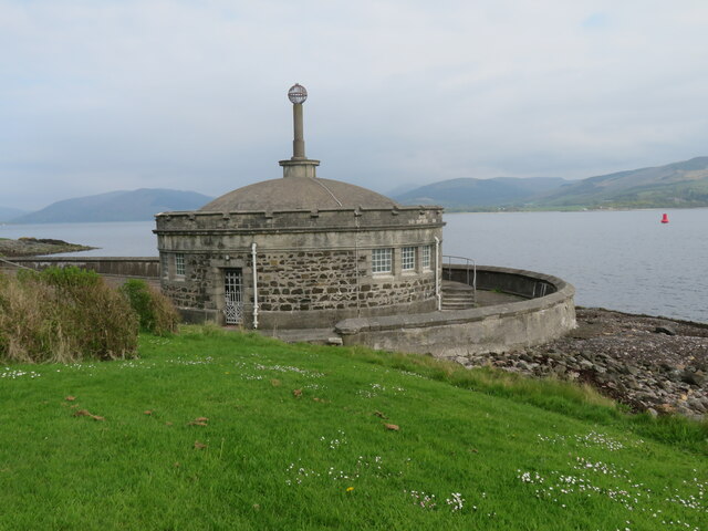
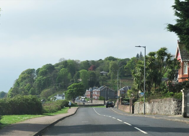
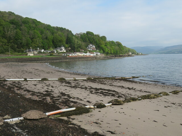
Hill of Ascog Images

Images are sourced within 2km of 55.827626/-5.0335883 or Grid Reference NS1063. Thanks to Geograph Open Source API. All images are credited.

Post box and old pier head, Mountstuart Road The post box is an interesting one dating from the reign of George V. Printed into the structure is an arrow and the word 'STAMPS', with the remains of an old stamp vending machine on the far side. Here you would purchase your 2d stamp before writing a postcard to say what a lovely time you were having in Rothesay.
Post box and old pier head, Mountstuart Road
The post box is an interesting one dating from the reign of George V. Printed into the structure is an arrow and the word 'STAMPS', with the remains of an old stamp vending machine on the far side. Here you would purchase your 2d stamp before writing a postcard to say what a lovely time you were having in Rothesay.
Sewage screening chamber on the sea front Another contributor has described this as disused toilets, and it would appear that the building has a dual function, both as public conveniences and as a sewage screening chamber. Outside, pipes run out into the sea, so hopefully the effluent would be clean by the time it hit the water.
Sewage screening chamber on the sea front
Another contributor has described this as disused toilets, and it would appear that the building has a dual function, both as public conveniences and as a sewage screening chamber. Outside, pipes run out into the sea, so hopefully the effluent would be clean by the time it hit the water.
A844 entering Montford The coast road entering Montford with more desirable villas lining the road. There is hardly a break in the development along the coast road from the far end of Poert Bannatyne to Ascog, south of this point. Almost all properties have a fine view out across the Firth of Clyde.
A844 entering Montford
The coast road entering Montford with more desirable villas lining the road. There is hardly a break in the development along the coast road from the far end of Poert Bannatyne to Ascog, south of this point. Almost all properties have a fine view out across the Firth of Clyde.
Beach at Ascog Rather a weedy corner with drainage pipes at what is otherwise an attractive small bay.
Beach at Ascog
Rather a weedy corner with drainage pipes at what is otherwise an attractive small bay.
Former church at Ascog This appears on the 1869 map as a 'Free Church', so presumably this is the same building. Rather unusual in design with a neat 'Italianate' tower. Now converted into a private residence.
Former church at Ascog
This appears on the 1869 map as a 'Free Church', so presumably this is the same building. Rather unusual in design with a neat 'Italianate' tower. Now converted into a private residence.
Shoreline south of Ascog Outcrops of old red sandstone along the shore here denote that we are in the Lowlands, geologically speaking. The Highland Boundary Fault is a few miles further north and runs across the island from the middle of Rothesay to Scalpsie Bay on the west coast.
Shoreline south of Ascog
Outcrops of old red sandstone along the shore here denote that we are in the Lowlands, geologically speaking. The Highland Boundary Fault is a few miles further north and runs across the island from the middle of Rothesay to Scalpsie Bay on the west coast.
Seashore rocks A large boulder on the shore with patches of smooth old red sandstone, and with large areas of the Bute Conglomerate [the knobbly stuff] of Devonian age.
Seashore rocks
A large boulder on the shore with patches of smooth old red sandstone, and with large areas of the Bute Conglomerate [the knobbly stuff] of Devonian age.
Seals
Seals
Bute, Ascog Church
Bute, Ascog Church
Bute, Shoreline Looking north near Ascog Bridge
Bute, Shoreline
Looking north near Ascog Bridge
Bute, Mid Ascog Farm
Rothesay, View over Bogany Wood Looking across to Toward Castle and Buachailean
Rothesay, View over Bogany Wood
Looking across to Toward Castle and Buachailean
Rothesay Bay Passing Bogany Point on route to Rothesay.
Rothesay Bay
Passing Bogany Point on route to Rothesay.
Tower at the Ascog Patches This tower (BRB Fl (2) 5M) marks the isolated shallow area at the Ascog Patches.  The code for the tower shows that it is painted black-red-black, flashes twice per minute and is visible from 5 miles away.
Tower at the Ascog Patches
This tower (BRB Fl (2) 5M) marks the isolated shallow area at the Ascog Patches. The code for the tower shows that it is painted black-red-black, flashes twice per minute and is visible from 5 miles away.
The Ascog Patches tower This tower (BRB Fl (2) 5M) marks the isolated shallow area at the Ascog Patches. The code for the tower shows that it is painted black-red-black, flashes twice per minute and is visible from 5 miles away.
The Ascog Patches tower
This tower (BRB Fl (2) 5M) marks the isolated shallow area at the Ascog Patches. The code for the tower shows that it is painted black-red-black, flashes twice per minute and is visible from 5 miles away.
Gateway to Ascog Hall Ascog is from the Norse 'askr-vig' = small-boat bay, cf Port Askaig on the Isle of Islay. The Ascog Hall Fernery has a glazed iron roof and was built c. 1870 - it was rescued from decline in 1986 and is now open to the public.  (This is a brilliant place - I hope to re-visit with viable camera-batteries!)
Gateway to Ascog Hall
Ascog is from the Norse 'askr-vig' = small-boat bay, cf Port Askaig on the Isle of Islay. The Ascog Hall Fernery has a glazed iron roof and was built c. 1870 - it was rescued from decline in 1986 and is now open to the public. (This is a brilliant place - I hope to re-visit with viable camera-batteries!)
Old pier at Craigmore
Ascog Bay Bute
Ascog Bay Bute
Show me another place!

Hill of Ascog is located at Grid Ref: NS1063 (Lat: 55.827626, Lng: -5.0335883)

Unitary Authority: Argyll and Bute

Police Authority: Argyll and West Dunbartonshire

What 3 Words

///butlers.crunched.target. Near Rothesay, Argyll & Bute

Related Wikis

Balmory Hall

Balmory Hall is a category A listed Victorian Italianate mansion located near Ascog in the Isle of Bute, Scotland, just west of Ascog House. The hall is...
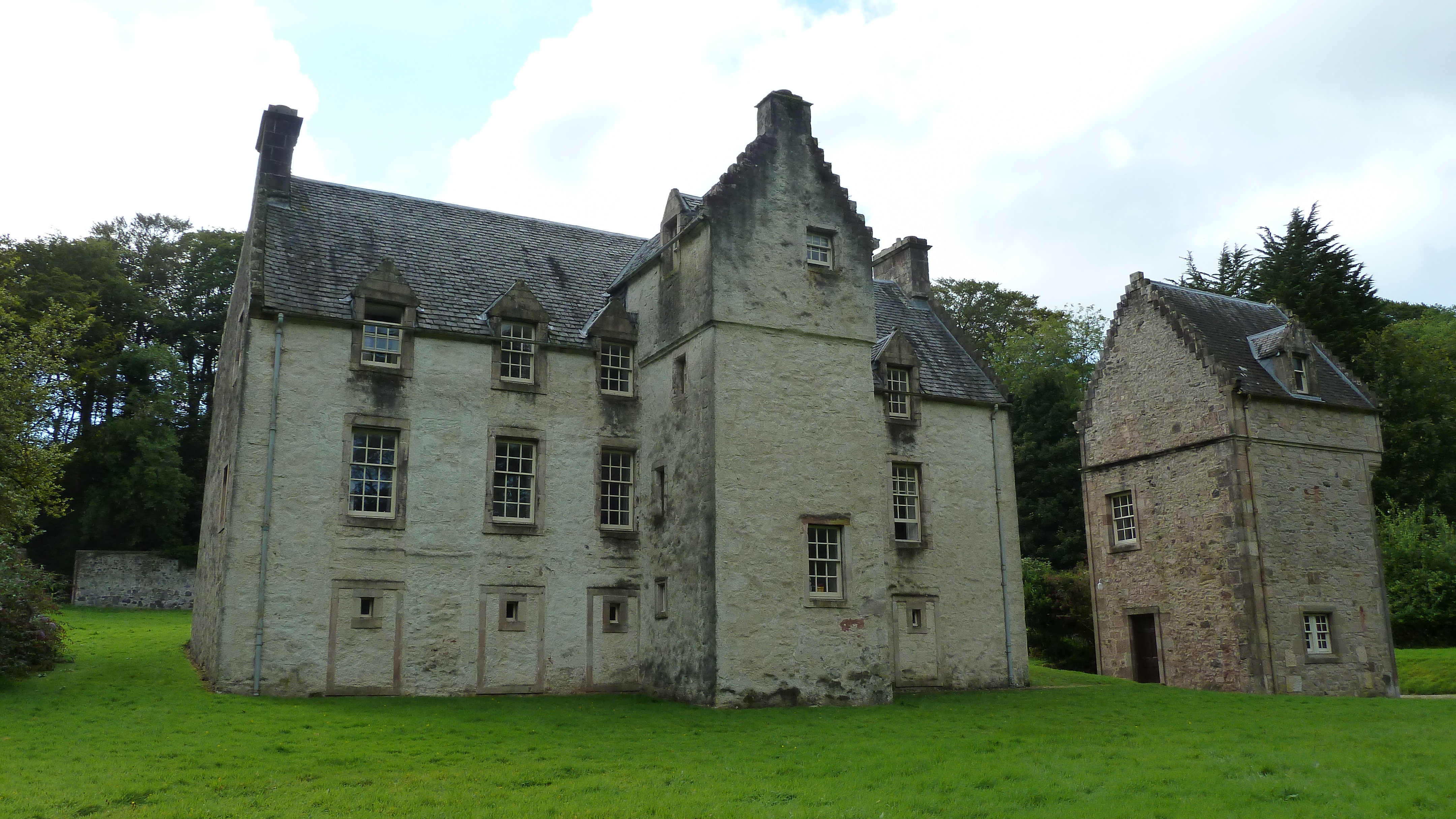
Ascog House

Ascog House is a large 17th-century mansion house at Ascog on the Isle of Bute, southwest Scotland. The house is in the care of the Landmark Trust, and...

Ascog

Ascog (Scottish Gaelic: Àsgaig) is a small village on the Isle of Bute, within Argyll and Bute council area, Scotland. The village is within the parish...

Rothesay

Rothesay ( ROTH-see; Scottish Gaelic: Baile Bhòid [ˈpalə ˈvɔːtʲ]) is the principal town on the Isle of Bute, in the council area of Argyll and Bute, Scotland...

Nearby Amenities

Located within 500m of 55.827626,-5.0335883
Hill of Ascog
Natural: peak
Lat/Long: 55.8271405/-5.0337208
Power: pole
Lat/Long: 55.8251509/-5.0372678
Power: pole
Lat/Long: 55.8277669/-5.0379718
Power: pole
Lat/Long: 55.8282854/-5.039204
Power: pole
Lat/Long: 55.831324/-5.0379464
Power: pole
Lat/Long: 55.8278524/-5.0415366
Power: pole
Lat/Long: 55.8266629/-5.0273284
Power: pole
Lat/Long: 55.8269216/-5.0278479
Power: pole
Lat/Long: 55.8277016/-5.0284487
Power: pole
Lat/Long: 55.8283544/-5.0283631
Power: pole
Lat/Long: 55.8293548/-5.0282583
Power: pole
Lat/Long: 55.8303199/-5.0281604
Power: pole
Lat/Long: 55.8307984/-5.0281095
Power: pole
Lat/Long: 55.8266788/-5.0264123
Power: pole
Lat/Long: 55.8242991/-5.0370437
Power: pole
Lat/Long: 55.8264359/-5.0376136
Power: pole
Lat/Long: 55.8270001/-5.0377655
Power: pole
Lat/Long: 55.8281651/-5.0389182
Power: pole
Lat/Long: 55.8289215/-5.0406617
Power: pole
Lat/Long: 55.8316597/-5.0368111
Power: pole
Lat/Long: 55.83172/-5.0351507
The data included in this document is from www.openstreetmap.org. The data is made available under ODbL.

Have you been to Hill of Ascog?

Leave your review of Hill of Ascog below (or comments, questions and feedback).