Sròn a' Bhuic
Coastal Feature, Headland, Point in Cromartyshire
Scotland
Sròn a' Bhuic

Sròn a' Bhuic, located in Cromartyshire, is a prominent coastal feature known for its stunning headland and point. Situated on the northeastern coast of Scotland, it offers breathtaking views of the North Sea and is a popular destination for tourists and nature enthusiasts.
The headland of Sròn a' Bhuic is characterized by its rugged and dramatic cliffs, which rise steeply from the sea. These cliffs are composed of sandstone and shale, displaying layers of sedimentary rock that provide a glimpse into the area's geological history. The constant erosion caused by the crashing waves has created fascinating rock formations and caves along the coastline, adding to the allure of this natural wonder.
The point of Sròn a' Bhuic juts out into the sea, acting as a natural barrier and providing a vantage point for spotting marine wildlife such as seals, dolphins, and various seabird species. The surrounding waters are also known for their rich marine biodiversity, making it a popular spot for diving and snorkeling.
The headland is accessible via a well-maintained walking trail that offers stunning panoramic views of the coastline and the nearby Cromarty Firth. The trail winds through heathland and grassy meadows, providing an opportunity to appreciate the diverse flora and fauna of the area.
Overall, Sròn a' Bhuic is a captivating coastal feature that offers a unique blend of natural beauty, geological significance, and wildlife diversity. Its majestic cliffs, scenic walking trails, and abundant marine life make it a must-visit destination for those seeking an authentic Scottish coastal experience.
If you have any feedback on the listing, please let us know in the comments section below.
Sròn a' Bhuic Images
Images are sourced within 2km of 57.910776/-5.1934626 or Grid Reference NH1095. Thanks to Geograph Open Source API. All images are credited.


Sròn a' Bhuic is located at Grid Ref: NH1095 (Lat: 57.910776, Lng: -5.1934626)
Unitary Authority: Highland
Police Authority: Highlands and Islands
What 3 Words
///presumes.heap.mountains. Near Ullapool, Highland
Nearby Locations
Related Wikis

Morefield
Morefield (A' Mhór-choille in Gaelic) is a small hamlet, lying on the northern shore of Loch Broom, 2 miles to the north of Ullapool and south of Rhue...

Rhue, Scotland
Rhue (An Rubha in Gaelic) is a small settlement north of Ullapool in Ross and Cromarty, and is in the Scottish council area of Highland, Scotland. ��2...

Ullapool
Ullapool (; Scottish Gaelic: Ulapul [ˈul̪ˠapʰul̪ˠ]) is a village and port located in Northern Scotland. Ullapool has a population of approximately 1,500...
Ardmair
Ardmair (Scottish Gaelic: Àird Mhèar) is a village in Wester Ross, in the North West Highlands of Scotland. Formerly a fishing village, Ardmair is located...

Lochbroom FM
Lochbroom FM is a radio station based in Ullapool, Wester Ross which in the Highlands of Scotland. A community radio association was formed in 1994. They...
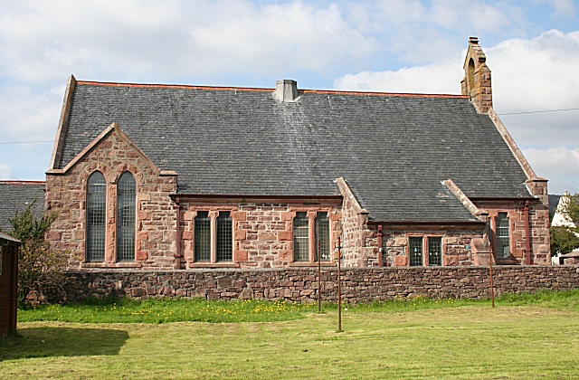
Lochbroom Free Church
The Lochbroom Free Church is a place of worship of the Free Church of Scotland in Ullapool, in the Highland council area of Scotland. The church was built...
Allt-na-h-Airbhe
Allt-na-h-Airbhe (Scottish Gaelic: Allt na h-Airbhe), "stream at the boundary wall", is a small crofting settlement close to Ullapool, Ross and Cromarty...

A893 road
The A893 is a trunk road in the Scottish Highlands, located in the small town of Ullapool. It is approximately one-third of a mile (540 m) in length, and...
Nearby Amenities
Located within 500m of 57.910776,-5.1934626Have you been to Sròn a' Bhuic?
Leave your review of Sròn a' Bhuic below (or comments, questions and feedback).