Cull Point
Coastal Feature, Headland, Point in Pembrokeshire
Wales
Cull Point
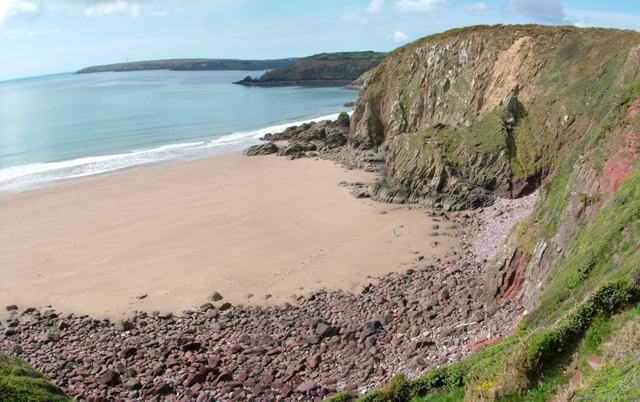
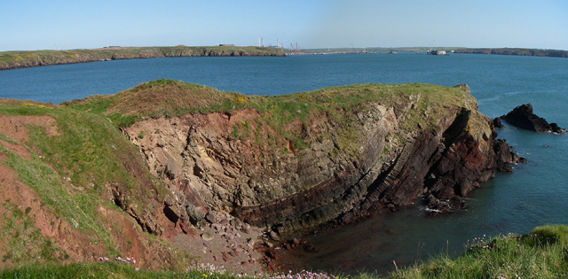
Cull Point is a prominent headland located in Pembrokeshire, Wales. Situated on the southwestern coast of the country, it is known for its stunning coastal scenery and dramatic cliffs.
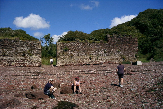
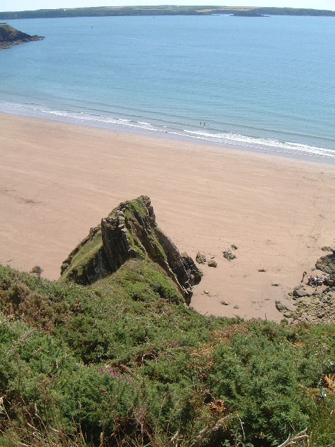
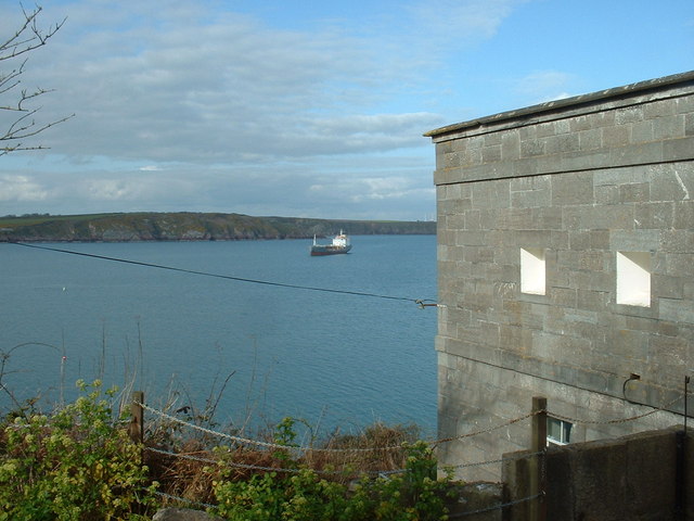
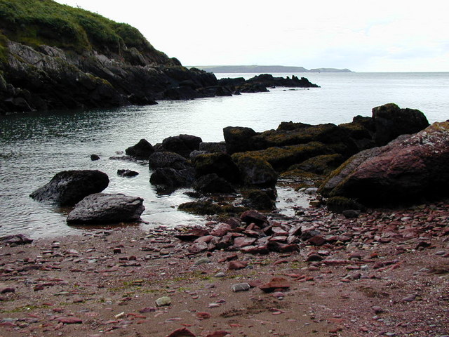
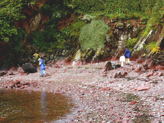
The headland is characterized by its rugged and rocky terrain, with steep cliffs that provide breathtaking views of the surrounding coastline and the Irish Sea. These cliffs are formed from layers of sedimentary rocks, including sandstone and shale, which have been sculpted over time by the relentless force of the ocean waves.
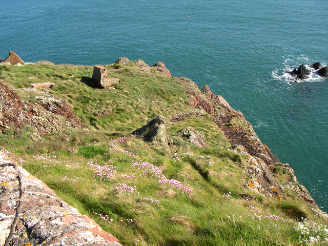
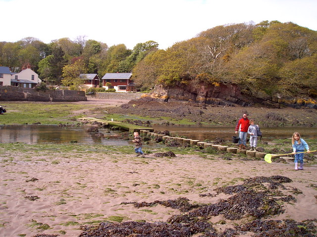
Cull Point is a popular destination for outdoor enthusiasts and nature lovers. The area is home to a diverse range of wildlife, including seabirds such as puffins, gannets, and razorbills, which nest in the cliffs. Visitors can often spot seals and dolphins swimming offshore, adding to the area's natural charm.
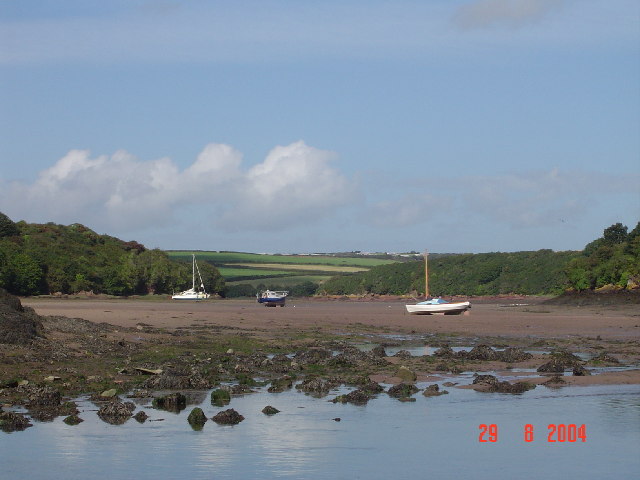
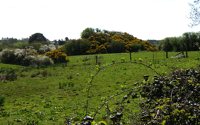
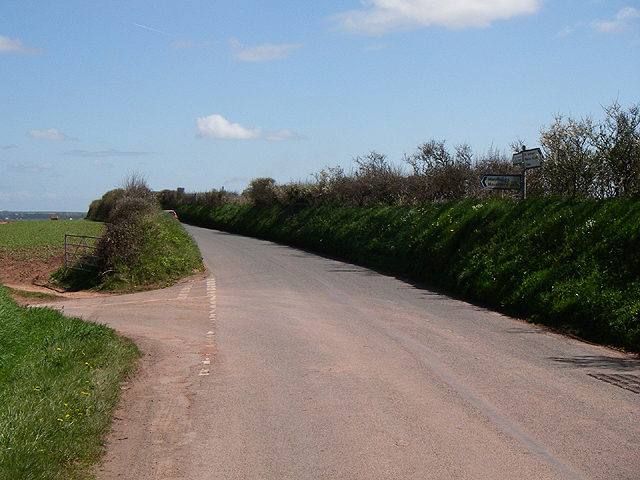
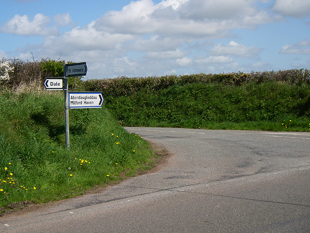
The headland is accessible by foot, with a network of coastal paths and trails that lead visitors to Cull Point. These paths offer a chance to explore the surrounding countryside, including fields, woodlands, and picturesque valleys. The area is also dotted with secluded coves and sandy beaches, providing opportunities for coastal walks and beachcombing.
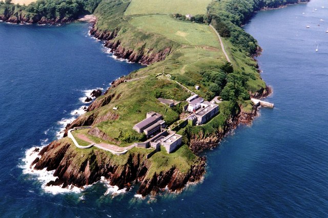
Cull Point holds historical significance as well, with remnants of Iron Age settlements and ancient burial sites found in the vicinity. The headland's strategic location overlooking the sea made it a site of interest during various periods of history, and remnants of fortifications can still be seen.
Overall, Cull Point is a captivating coastal feature that combines natural beauty, wildlife, and historical significance, making it a must-visit destination for anyone exploring the Pembrokeshire coast.
If you have any feedback on the listing, please let us know in the comments section below.
Cull Point Images
Images are sourced within 2km of 51.716449/-5.1267874 or Grid Reference SM8406. Thanks to Geograph Open Source API. All images are credited.


Cull Point is located at Grid Ref: SM8406 (Lat: 51.716449, Lng: -5.1267874)
Unitary Authority: Pembrokeshire
Police Authority: Dyfed Powys
What 3 Words
///town.condensed.piano. Near Herbrandston, Pembrokeshire
Nearby Locations
Related Wikis

St Ishmaels
St Ishmaels or St Ishmael's (Welsh: Llanismel) is a village, parish and community close to the Milford Haven Waterway in Pembrokeshire, Wales. The community...

Milford Haven Waterway
Milford Haven Waterway (Welsh: Dyfrffordd Aberdaugleddau) is a natural harbour in Pembrokeshire, Wales. It is a ria or drowned valley which was flooded...

Dale Fort
Dale Fort is a mid-19th-century coastal artillery fort at Dale Head, a rocky promontory near Dale, Pembrokeshire, west of Milford Haven in Wales. It is...

Thorne Island
Thorne Island is a rocky islet and part of the community of Angle, Pembrokeshire, Wales, with an area of 2 acres (8,100 m2), dominated by a coastal artillery...

Stack Rock Fort
Stack Rock Fort is a fort built on a small island in the Milford Haven Waterway, Pembrokeshire, Wales. A 3-gun fort was built between 1850 and 1852, and...

Hasguard
Hasguard is a parish northwest of the town of Milford Haven in Pembrokeshire, Wales. The name applies to several other locations: Upper and Middle Hasguard...
Watwick Point Beacon
Watwick Point Beacon is a leading light, which is a type of lighthouse, located near Dale, Pembrokeshire, in Wales. It is designed to lead ships into Milford...

Herbrandston
Herbrandston is a village, parish and community on the north side of the River Cleddau, in Pembrokeshire, Wales. It is located to the west of Milford Haven...
Nearby Amenities
Located within 500m of 51.716449,-5.1267874Have you been to Cull Point?
Leave your review of Cull Point below (or comments, questions and feedback).