Sprat's Point
Coastal Feature, Headland, Point in Pembrokeshire
Wales
Sprat's Point
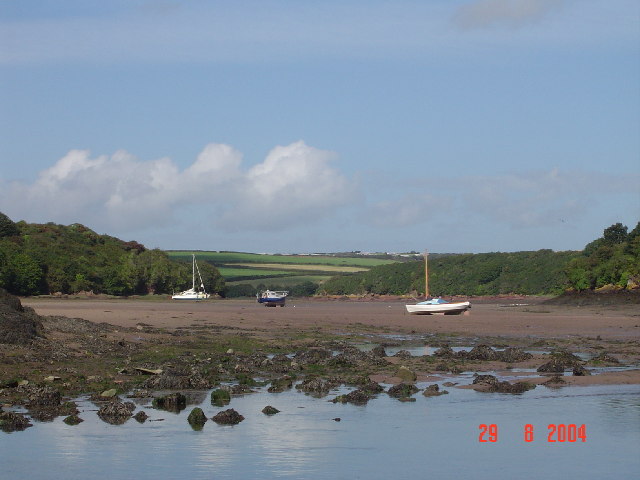
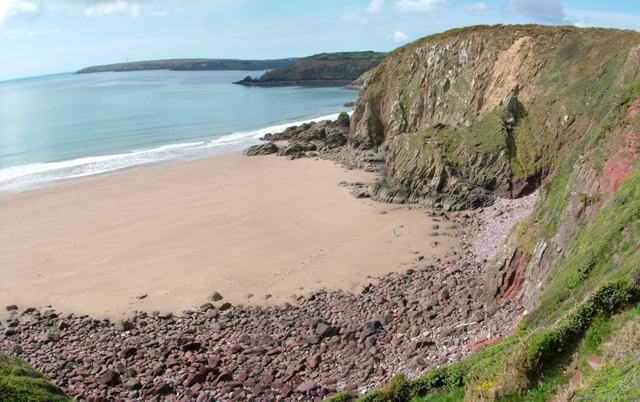
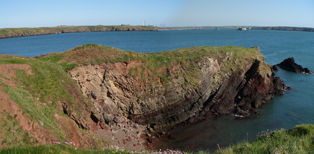
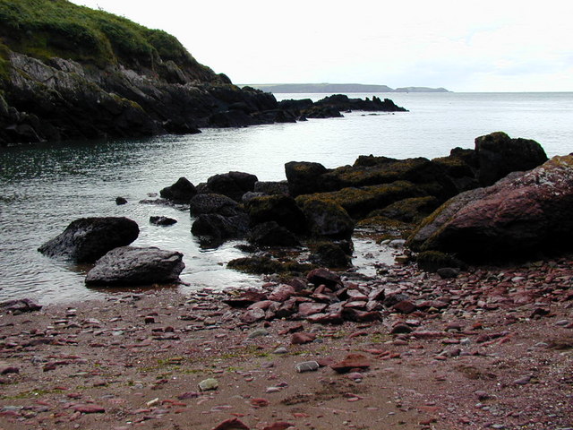
Sprat's Point is a prominent coastal feature located in Pembrokeshire, Wales. It is a headland that extends out into the sea, forming a distinct point along the coastline. The point is situated at the westernmost part of Pembrokeshire, offering breathtaking views of the surrounding landscape and the vast Atlantic Ocean.
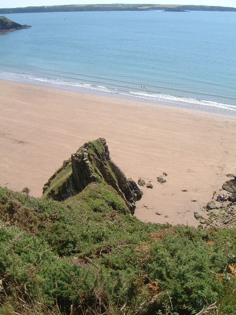
The headland itself is composed of rugged cliffs that rise steeply from the sea, creating a dramatic and picturesque scene. The cliffs are formed from layers of sedimentary rock, displaying a range of colors and textures that add to the area's natural beauty.
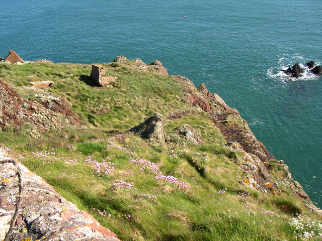
Sprat's Point is known for its rich biodiversity and is home to a variety of plant and animal species. The surrounding waters are teeming with marine life, making it a popular spot for birdwatching and wildlife enthusiasts. Visitors may spot seabirds such as fulmars, guillemots, and puffins nesting on the cliffs, as well as seals and dolphins swimming in the sea.
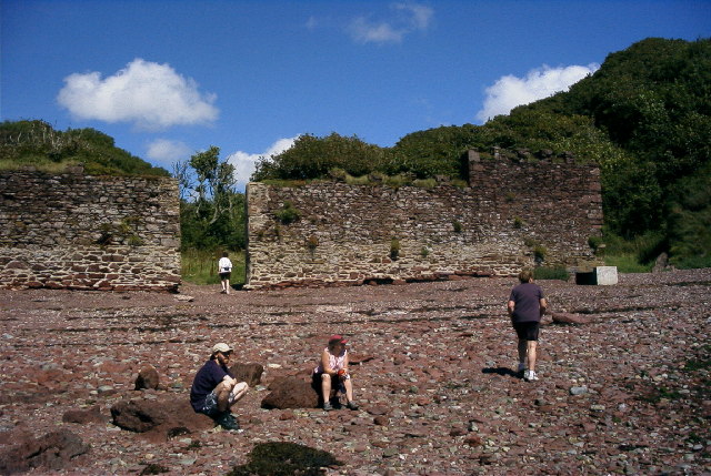
The point also holds historical significance, with remains of ancient settlements and structures dating back thousands of years. Archaeological discoveries have uncovered evidence of human activity in the area, including artifacts and burial sites.
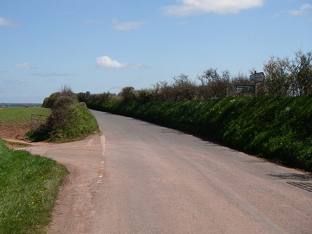
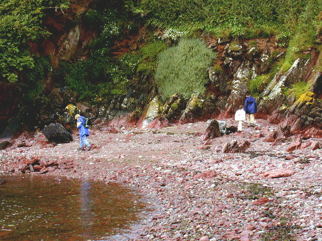
Access to Sprat's Point is relatively easy, with a well-maintained footpath that leads to the headland. Visitors can enjoy a leisurely stroll along the coast, taking in the stunning views and immersing themselves in the natural wonders of this coastal gem.
If you have any feedback on the listing, please let us know in the comments section below.
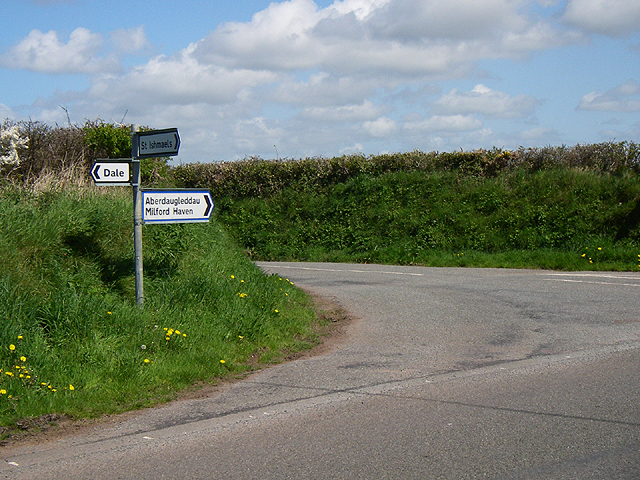
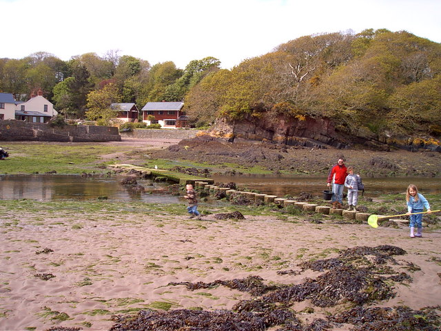
Sprat's Point Images
Images are sourced within 2km of 51.717177/-5.125129 or Grid Reference SM8406. Thanks to Geograph Open Source API. All images are credited.


Sprat's Point is located at Grid Ref: SM8406 (Lat: 51.717177, Lng: -5.125129)
Unitary Authority: Pembrokeshire
Police Authority: Dyfed Powys
What 3 Words
///noises.risky.argue. Near Herbrandston, Pembrokeshire
Nearby Locations
Related Wikis

St Ishmaels
St Ishmaels or St Ishmael's (Welsh: Llanismel) is a village, parish and community close to the Milford Haven Waterway in Pembrokeshire, Wales. The community...

Milford Haven Waterway
Milford Haven Waterway (Welsh: Dyfrffordd Aberdaugleddau) is a natural harbour in Pembrokeshire, Wales. It is a ria or drowned valley which was flooded...

Dale Fort
Dale Fort is a mid-19th-century coastal artillery fort at Dale Head, a rocky promontory near Dale, Pembrokeshire, west of Milford Haven in Wales. It is...

Hasguard
Hasguard is a parish northwest of the town of Milford Haven in Pembrokeshire, Wales. The name applies to several other locations: Upper and Middle Hasguard...

Stack Rock Fort
Stack Rock Fort is a fort built on a small island in the Milford Haven Waterway, Pembrokeshire, Wales. A 3-gun fort was built between 1850 and 1852, and...

Thorne Island
Thorne Island is a rocky islet and part of the community of Angle, Pembrokeshire, Wales, with an area of 2 acres (8,100 m2), dominated by a coastal artillery...

Herbrandston
Herbrandston is a village, parish and community on the north side of the River Cleddau, in Pembrokeshire, Wales. It is located to the west of Milford Haven...

South Hook Fort
South Hook Fort, on the northern shore of Milford Haven, Pembrokeshire, is a Grade II*-listed building which belongs to a series of forts built as part...
Nearby Amenities
Located within 500m of 51.717177,-5.125129Have you been to Sprat's Point?
Leave your review of Sprat's Point below (or comments, questions and feedback).