Longoar Bay
Bay in Pembrokeshire
Wales
Longoar Bay
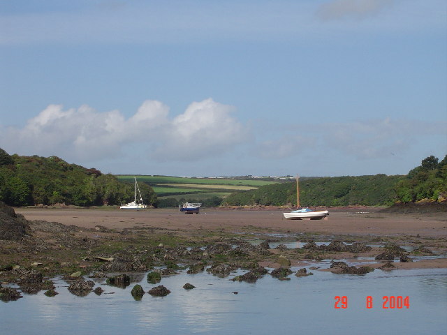
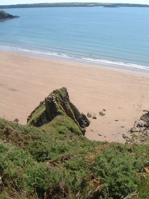
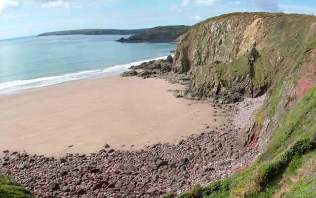
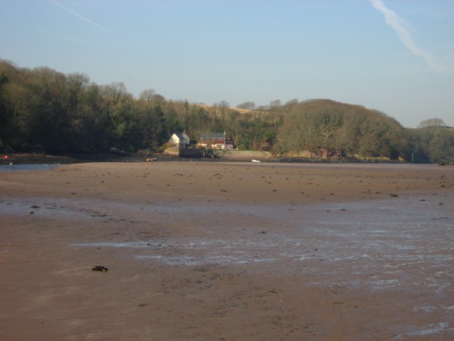
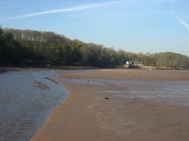
Longoar Bay is a picturesque and secluded bay located on the southwest coast of Wales, specifically in the county of Pembrokeshire. It is nestled between the popular tourist destinations of Freshwater West and Angle Bay, offering visitors a peaceful and tranquil escape from the crowds.
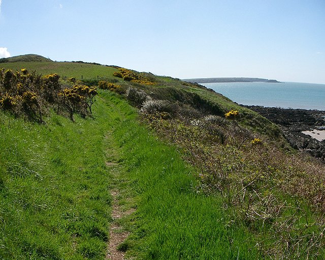
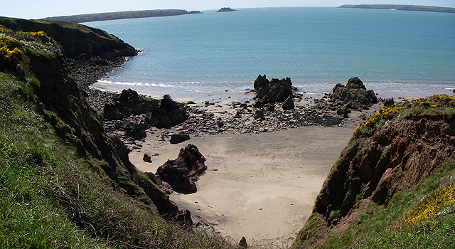
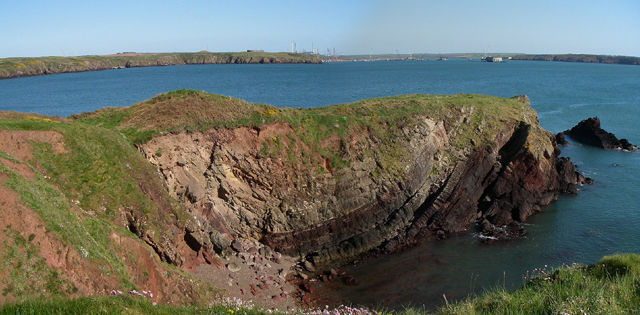
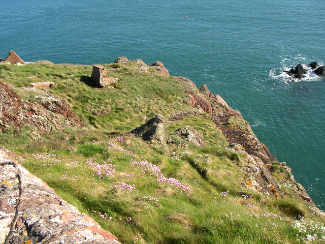
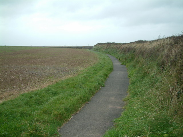
The bay stretches for approximately 1.5 kilometers and is characterized by its pristine sandy beach and crystal-clear turquoise waters. The beach is backed by towering cliffs that provide a stunning backdrop and offer protection from the winds. The bay is also flanked by rolling green hills, adding to its natural charm.
Longoar Bay is known for its unspoiled beauty and is a haven for nature lovers and outdoor enthusiasts. The bay is surrounded by diverse wildlife, including seabirds, seals, and even dolphins, making it a fantastic spot for birdwatching and marine life observation.
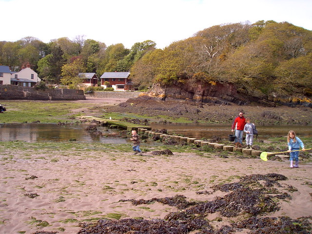
The beach is ideal for various water activities such as swimming, snorkeling, and surfing, although caution is advised due to the strong currents and occasional high waves. The bay is also a popular spot for fishing, with anglers often casting their lines from the shore or from small boats.
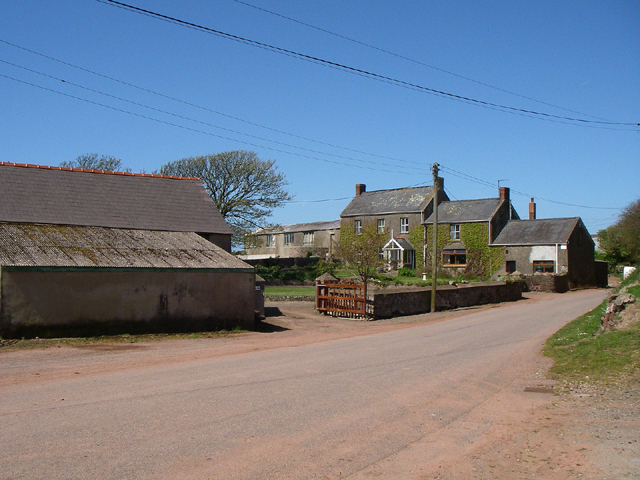
Access to Longoar Bay is relatively easy, with a car park located nearby and a short walk down to the beach. Facilities such as toilets and a café can also be found in the vicinity, ensuring visitors have the necessary amenities for a comfortable visit.
Overall, Longoar Bay is a hidden gem on the Pembrokeshire coastline, offering visitors a serene and picturesque experience amidst stunning natural surroundings.
If you have any feedback on the listing, please let us know in the comments section below.
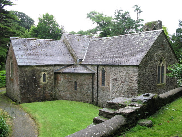
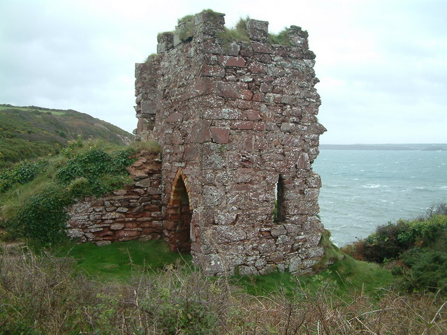
Longoar Bay Images
Images are sourced within 2km of 51.712921/-5.1143528 or Grid Reference SM8406. Thanks to Geograph Open Source API. All images are credited.
Longoar Bay is located at Grid Ref: SM8406 (Lat: 51.712921, Lng: -5.1143528)
Unitary Authority: Pembrokeshire
Police Authority: Dyfed Powys
What 3 Words
///uplifting.credible.forgot. Near Herbrandston, Pembrokeshire
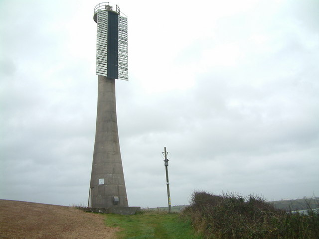
Nearby Locations
Related Wikis

Milford Haven Waterway
Milford Haven Waterway (Welsh: Dyfrffordd Aberdaugleddau) is a natural harbour in Pembrokeshire, Wales. It is a ria or drowned valley which was flooded...

St Ishmaels
St Ishmaels or St Ishmael's (Welsh: Llanismel) is a village, parish and community close to the Milford Haven Waterway in Pembrokeshire, Wales. The community...

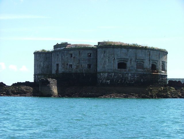
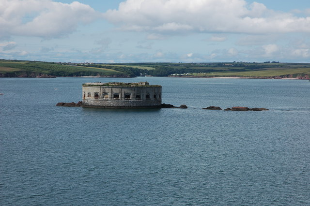
Stack Rock Fort
Stack Rock Fort is a fort built on a small island in the Milford Haven Waterway, Pembrokeshire, Wales. A 3-gun fort was built between 1850 and 1852, and...

South Hook Fort
South Hook Fort, on the northern shore of Milford Haven, Pembrokeshire, is a Grade II*-listed building which belongs to a series of forts built as part...

Thorne Island
Thorne Island is a rocky islet and part of the community of Angle, Pembrokeshire, Wales, with an area of 2 acres (8,100 m2), dominated by a coastal artillery...

Herbrandston
Herbrandston is a village, parish and community on the north side of the River Cleddau, in Pembrokeshire, Wales. It is located to the west of Milford Haven...

Esso Refinery, Milford Haven
The Esso Refinery at Milford Haven was an oil refinery situated on the Pembrokeshire coast in Wales. Construction started in 1957 and the refinery was...
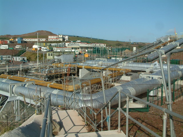
South Hook LNG terminal
South Hook LNG terminal is an LNG regasification terminal near Milford Haven and is the largest LNG terminal in Europe. Together with the smaller Dragon...
Nearby Amenities
Located within 500m of 51.712921,-5.1143528Have you been to Longoar Bay?
Leave your review of Longoar Bay below (or comments, questions and feedback).