Lindsway Bay
Bay in Pembrokeshire
Wales
Lindsway Bay
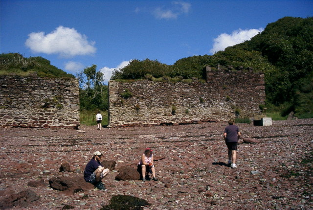
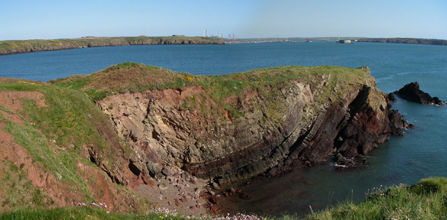
Lindsway Bay is a picturesque bay located in the county of Pembrokeshire, Wales. Situated on the southern coast of the country, it is known for its stunning natural beauty and tranquil atmosphere. The bay is nestled between two headlands, offering a secluded and peaceful environment for visitors.
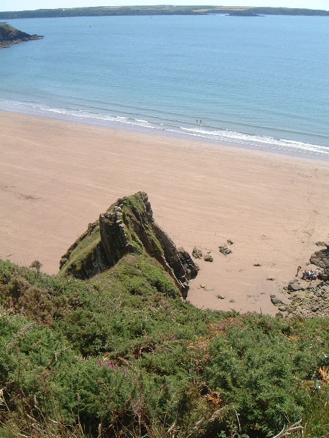
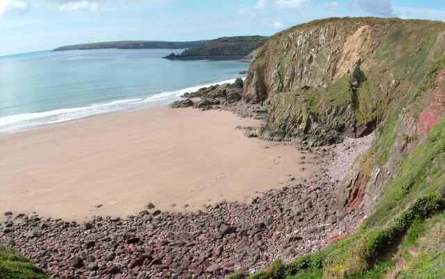
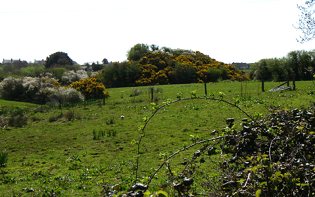
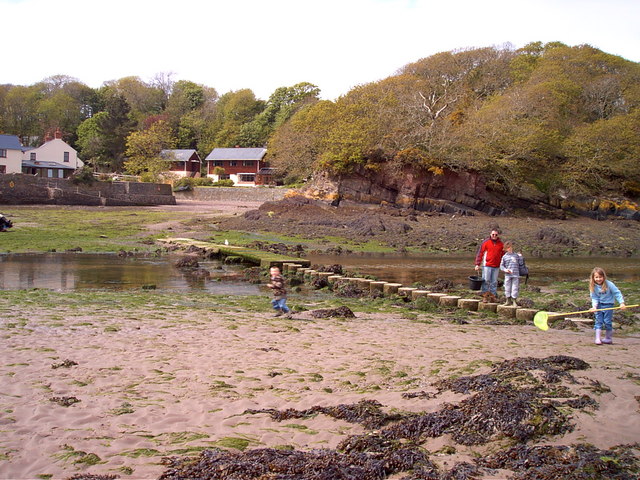
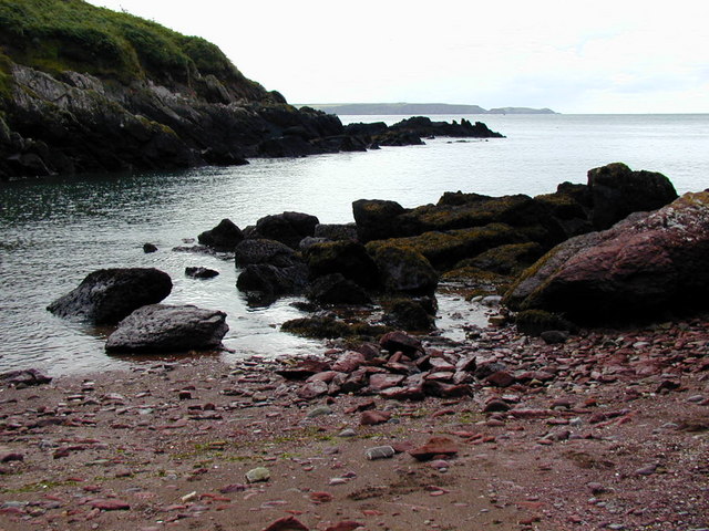
With its golden sandy beach and crystal-clear turquoise waters, Lindsway Bay is a popular destination for beachgoers and outdoor enthusiasts. The bay is a designated Area of Outstanding Natural Beauty, with its unspoiled landscape and diverse wildlife. It is also a part of the Pembrokeshire Coast National Park, ensuring its protection and preservation.
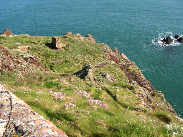
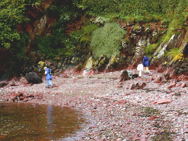
The bay is surrounded by lush green cliffs, providing a dramatic backdrop to the serene beach. It is an ideal spot for coastal walks and nature exploration, as the area boasts a variety of flora and fauna. Visitors can enjoy breathtaking panoramic views of the bay and the surrounding coastline from the cliff tops.
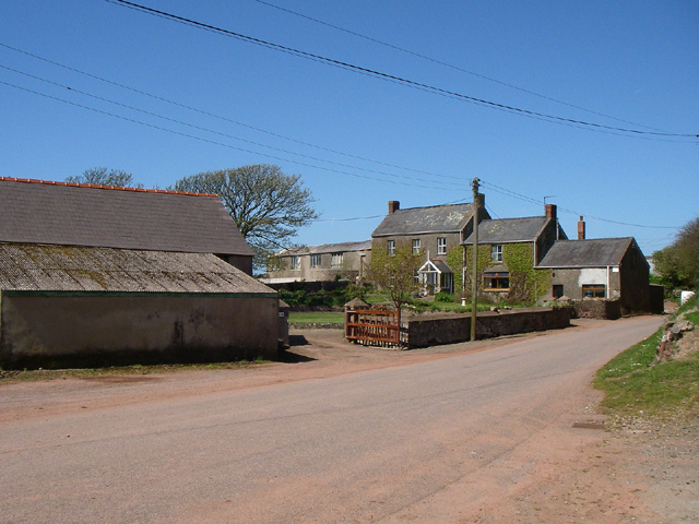
Lindsway Bay is relatively quiet and less crowded compared to other beaches in the region, making it a perfect destination for those seeking tranquility and relaxation. The beach is accessible via a short walk from the nearby village of St Twynnells, where visitors can find parking facilities and amenities.
Overall, Lindsway Bay offers a serene and idyllic coastal experience, with its unspoiled beauty and peaceful ambiance. It is a hidden gem in Pembrokeshire, attracting nature lovers and those seeking a peaceful retreat.
If you have any feedback on the listing, please let us know in the comments section below.
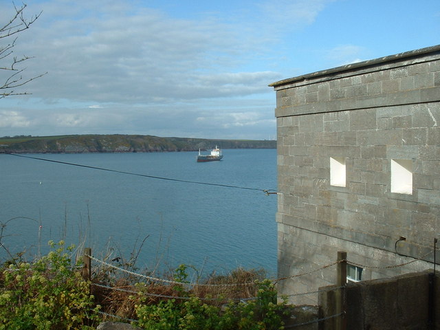
Lindsway Bay Images
Images are sourced within 2km of 51.713547/-5.1270214 or Grid Reference SM8406. Thanks to Geograph Open Source API. All images are credited.


Lindsway Bay is located at Grid Ref: SM8406 (Lat: 51.713547, Lng: -5.1270214)
Unitary Authority: Pembrokeshire
Police Authority: Dyfed Powys
What 3 Words
///unsettled.fight.mostly. Near Herbrandston, Pembrokeshire
Nearby Locations
Related Wikis

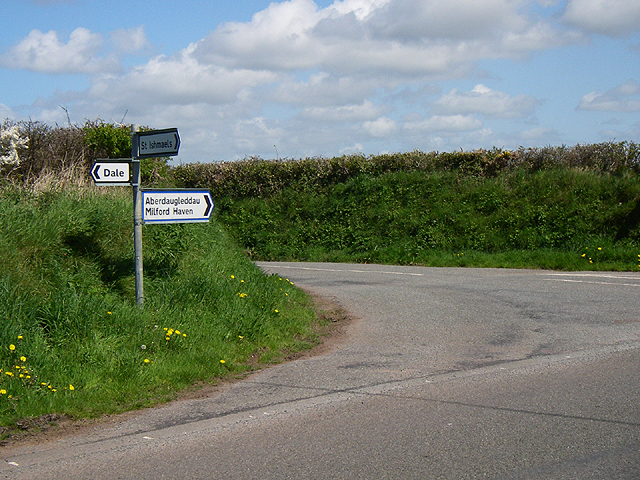
St Ishmaels
St Ishmaels or St Ishmael's (Welsh: Llanismel) is a village, parish and community close to the Milford Haven Waterway in Pembrokeshire, Wales. The community...

Milford Haven Waterway
Milford Haven Waterway (Welsh: Dyfrffordd Aberdaugleddau) is a natural harbour in Pembrokeshire, Wales. It is a ria or drowned valley which was flooded...

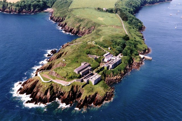
Dale Fort
Dale Fort is a mid-19th-century coastal artillery fort at Dale Head, a rocky promontory near Dale, Pembrokeshire, west of Milford Haven in Wales. It is...

Thorne Island
Thorne Island is a rocky islet and part of the community of Angle, Pembrokeshire, Wales, with an area of 2 acres (8,100 m2), dominated by a coastal artillery...
Nearby Amenities
Located within 500m of 51.713547,-5.1270214Have you been to Lindsway Bay?
Leave your review of Lindsway Bay below (or comments, questions and feedback).