Uamhag na Creige-streap

Bay in Ross-shire

Scotland

Uamhag na Creige-streap

Rubh' a' Choin
Rubh' a' Choin Credit: Mick Garratt

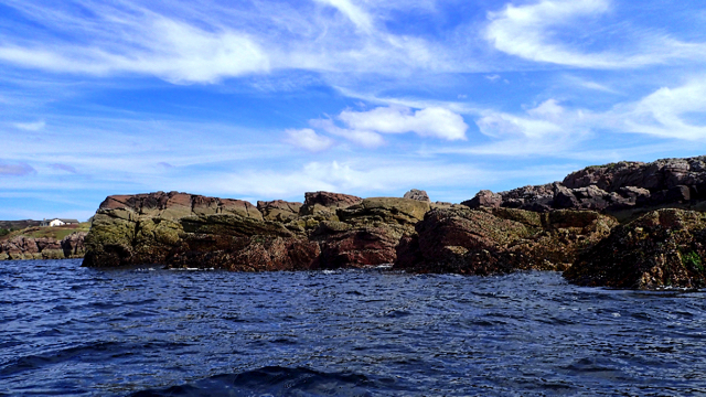
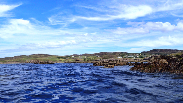
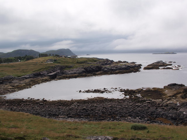
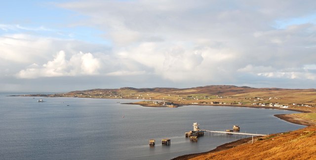
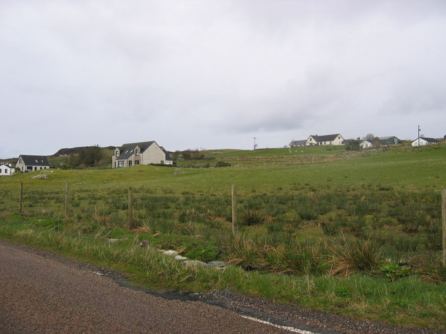
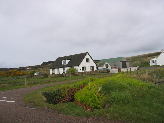
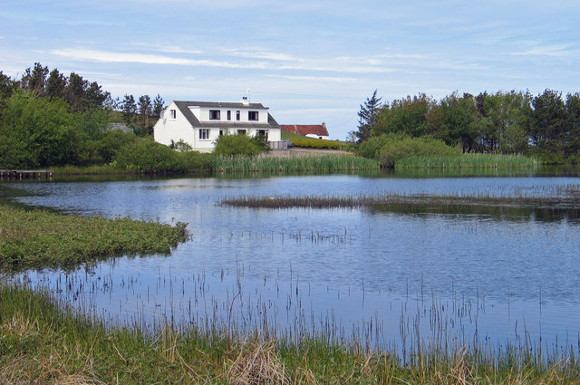
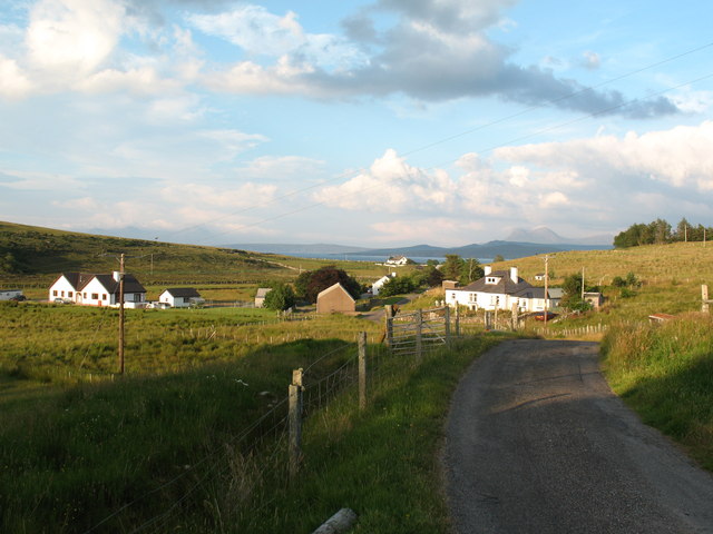
Uamhag na Creige-streap, located in Ross-shire, Scotland, is a picturesque bay renowned for its stunning natural beauty. Nestled between rugged cliffs and rolling hills, this bay offers breathtaking views of the surrounding landscape.

The bay itself provides a tranquil and secluded setting, with calm waters gently lapping against the rocky shoreline. Its remote location makes it an ideal spot for those seeking a peaceful getaway or a place to unwind and connect with nature.

The bay is adorned with an abundance of lush vegetation, including various species of wildflowers, grasses, and shrubs. The vibrant colors of the flora create a vibrant contrast against the backdrop of the deep blue sea and the dramatic cliffs.

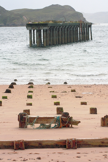
Uamhag na Creige-streap is also home to a diverse array of wildlife. Seals are often spotted lounging on the rocks, and seabirds soar above the bay, adding to its natural charm. The bay's clear waters attract marine life, making it a popular spot for snorkeling and diving enthusiasts.

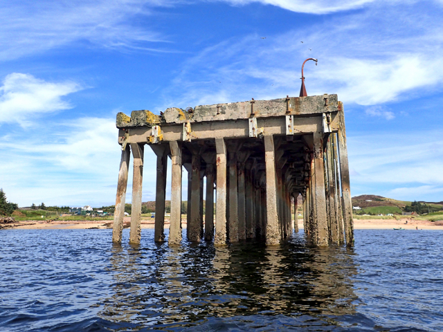
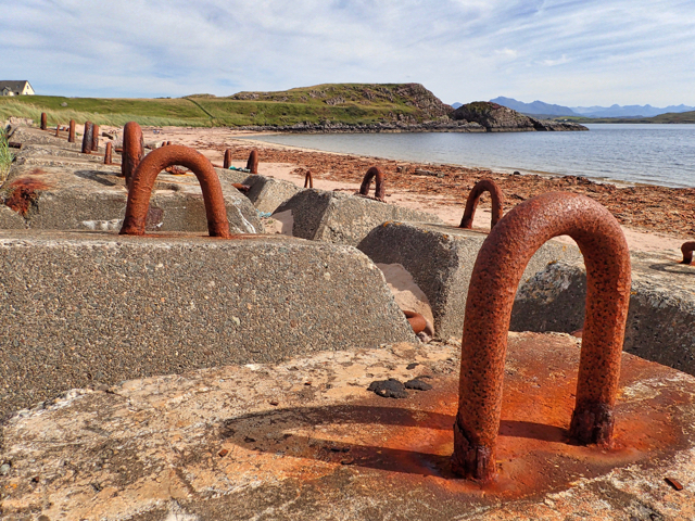
Visitors to Uamhag na Creige-streap can partake in a range of activities, from leisurely walks along the shore to more adventurous pursuits such as rock climbing or kayaking. The bay's unique geological features, including caves and crevices, offer opportunities for exploration and discovery.

Overall, Uamhag na Creige-streap is a hidden gem in Ross-shire, offering a serene and unspoiled coastal experience. Its untouched beauty and rich biodiversity make it a must-visit destination for nature lovers and outdoor enthusiasts alike.

If you have any feedback on the listing, please let us know in the comments section below.

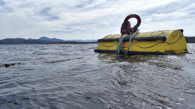
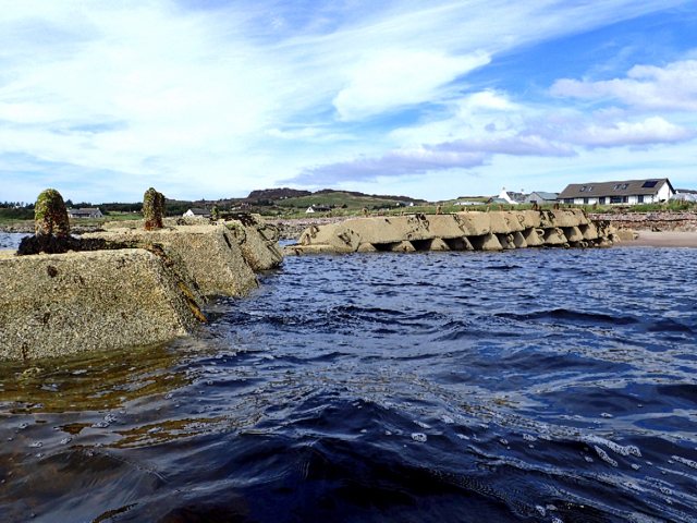
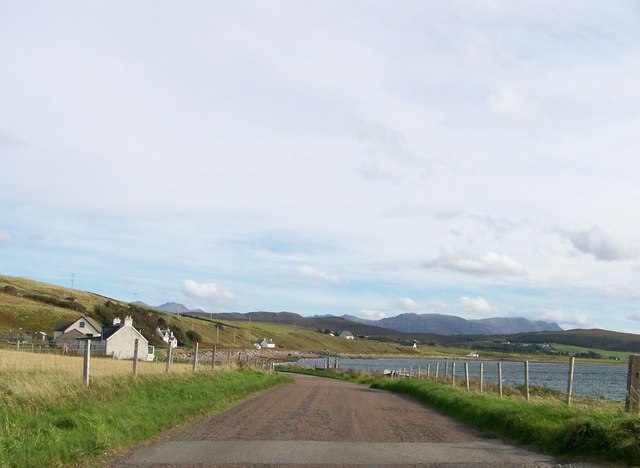
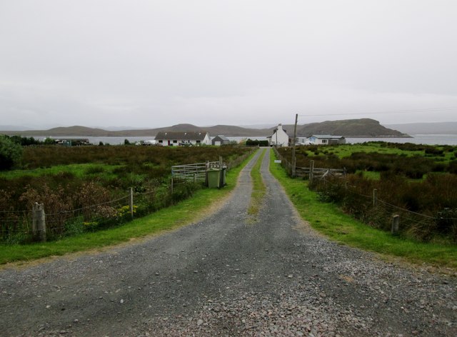
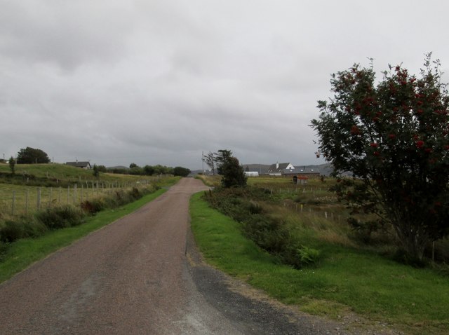
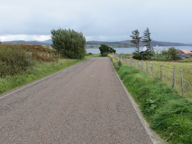
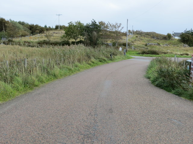
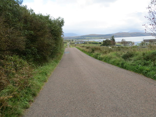
Uamhag na Creige-streap Images

Images are sourced within 2km of 57.844671/-5.6396199 or Grid Reference NG8489. Thanks to Geograph Open Source API. All images are credited.

Rubh' a' Choin
Rubh' a' Choin
Sgeirean Mòra
Sgeirean Mòra
Remains of Jetty, Mellon Charles I first visited Loch Ewe in 2013 and was amazed on discovering its role in World War II. An unassuming role modestly portrayed in a few information boards scattered around its coast. WW2 remains abound, anti aircraft gun emplacements, military buildings and foundations. Loch Ewe is a deep sea loch and during the war it was used to muster merchant shipping in relative safety before heading off with vital supplies to Murmansk in war torn Russia, in what has become known as the Arctic Convoys. The convoys, of up to 40 ships with Navy escorts, sailed close to the Arctic pack ice in an attempt to avoid German U Boats. Many were unsuccessful.

To protect the ships while in Loch Ewe an anti submarine net or boom was laid across the loch at its narrowest point, about 3km. Barrage balloons and anti aircraft guns provided protection against airborne attack. During the war military personnel outnumbered the local population by 3:1.

Mellon Charles was the Boom Defence Depot. The most visible remains is this concrete jetty forming an island that has been adopted by a colony of terns which took to divebombing us as we paddled past.

The seas around Mellon Charles are particularly rich in marine life and have been designated by the Scottish Wildlife Trust as part of their Snorkel Trail. Yet in spite this accolade the beach was exceptionally quiet. Golden sands but marred only by a thick tide mark of drying kelp. Only one other car arrived, an ex-serviceman looking up old haunts. He was stationed here for two weeks in 1972 as part of the Royal Marines Arctic warfare section.
Remains of Jetty, Mellon Charles
I first visited Loch Ewe in 2013 and was amazed on discovering its role in World War II. An unassuming role modestly portrayed in a few information boards scattered around its coast. WW2 remains abound, anti aircraft gun emplacements, military buildings and foundations. Loch Ewe is a deep sea loch and during the war it was used to muster merchant shipping in relative safety before heading off with vital supplies to Murmansk in war torn Russia, in what has become known as the Arctic Convoys. The convoys, of up to 40 ships with Navy escorts, sailed close to the Arctic pack ice in an attempt to avoid German U Boats. Many were unsuccessful. To protect the ships while in Loch Ewe an anti submarine net or boom was laid across the loch at its narrowest point, about 3km. Barrage balloons and anti aircraft guns provided protection against airborne attack. During the war military personnel outnumbered the local population by 3:1. Mellon Charles was the Boom Defence Depot. The most visible remains is this concrete jetty forming an island that has been adopted by a colony of terns which took to divebombing us as we paddled past. The seas around Mellon Charles are particularly rich in marine life and have been designated by the Scottish Wildlife Trust as part of their Snorkel Trail. Yet in spite this accolade the beach was exceptionally quiet. Golden sands but marred only by a thick tide mark of drying kelp. Only one other car arrived, an ex-serviceman looking up old haunts. He was stationed here for two weeks in 1972 as part of the Royal Marines Arctic warfare section.
Mellon Charles Beach
Ship mooring point An anchorage for ocean going ships.
Ship mooring point
An anchorage for ocean going ships.
Slipway at Ormiscaig Recycling the concrete anchor points used to hold the submarine netting across Loch Ewe.
Slipway at Ormiscaig
Recycling the concrete anchor points used to hold the submarine netting across Loch Ewe.
Leaving Ormiscaig heading to Aultbea
Track  to  crofts  in  Ormiscaig The water beyond is Loch Ewe and the land beyond is the Isle of Ewe
Track to crofts in Ormiscaig
The water beyond is Loch Ewe and the land beyond is the Isle of Ewe
Minor  road  passing  through  Ormiscaig One of a number of crofting community's along this road
Minor road passing through Ormiscaig
One of a number of crofting community's along this road
Road near Ormiscaig Looking south-eastward.
Road near Ormiscaig
Looking south-eastward.
Road at Mellon Charles Looking south-eastward.
Road at Mellon Charles
Looking south-eastward.
Road between Mellon Charles and Ormiscaig Looking south-eastward.
Road between Mellon Charles and Ormiscaig
Looking south-eastward.
Camus nan Gobhar The picture looks south across this wee bay from just behind the Perfume Studio, on a day of sunshine between low clouds.
Camus nan Gobhar
The picture looks south across this wee bay from just behind the Perfume Studio, on a day of sunshine between low clouds.
Loch Ewe In the foreground is the NATO refuelling base.  In the middle distance is the linear settlement of Aultbea with the pier at Aird Point.  In the background by the headland is the settlement of Mellon Charles.
Loch Ewe
In the foreground is the NATO refuelling base. In the middle distance is the linear settlement of Aultbea with the pier at Aird Point. In the background by the headland is the settlement of Mellon Charles.
Ormiscaig Crofting community.
Ormiscaig
Crofting community.
Near Mellon Charles Modern bungalows are replacing the old croft houses.
Near Mellon Charles
Modern bungalows are replacing the old croft houses.
Pool at Mellon Charles Mellon Charles is a crofting area on a peninsula to the east of Loch Ewe. The house beyond the pool is named Pinecroft with the address '39 Mellon Charles'; the photographer rented the top floor as a holiday let many years ago. It's possible that the pool is an artificial creation.
Pool at Mellon Charles
Mellon Charles is a crofting area on a peninsula to the east of Loch Ewe. The house beyond the pool is named Pinecroft with the address '39 Mellon Charles'; the photographer rented the top floor as a holiday let many years ago. It's possible that the pool is an artificial creation.
Remains of Pier, Mellon Charles Part of the main base for the WW2 defences of Loch Ewe. The far structure is concrete (in <a href="https://www.geograph.org.uk/gridref/NG8490">NG8490</a>) but only wooden stumps remain of the connecting pier.
Remains of Pier, Mellon Charles
Part of the main base for the WW2 defences of Loch Ewe. The far structure is concrete (in NG8490) but only wooden stumps remain of the connecting pier.
Show me another place!

Uamhag na Creige-streap is located at Grid Ref: NG8489 (Lat: 57.844671, Lng: -5.6396199)

Unitary Authority: Highland

Police Authority: Highlands and Islands

What 3 Words

///sketching.reader.diamond. Near Gairloch, Highland

Related Wikis

Nearby Amenities

Located within 500m of 57.844671,-5.6396199
Source: PGS
Lat/Long: 57.8410689/-5.6435926
Source: PGS
Lat/Long: 57.8413837/-5.6431566
Source: PGS
Lat/Long: 57.8416284/-5.6429237
Source: PGS
Lat/Long: 57.8423469/-5.6428341
Created By: almien_coastlines
Source: PGS
Lat/Long: 57.842627/-5.642556
Source: PGS
Lat/Long: 57.8429509/-5.6422189
Source: PGS
Lat/Long: 57.8434849/-5.6418964
Source: PGS
Lat/Long: 57.8443305/-5.6415679
Created By: almien_coastlines
Source: PGS
Lat/Long: 57.844708/-5.641027
Created By: almien_coastlines
Source: PGS
Lat/Long: 57.844845/-5.640556
Created By: almien_coastlines
Source: PGS
Lat/Long: 57.844855/-5.640077
Source: PGS
Lat/Long: 57.8449312/-5.6394238
Source: PGS
Lat/Long: 57.845052/-5.6391311
Source: PGS
Lat/Long: 57.8452809/-5.638946
Source: PGS
Lat/Long: 57.8456655/-5.6386115
Source: PGS
Lat/Long: 57.8463807/-5.6381218
Created By: almien_coastlines
Source: PGS
Lat/Long: 57.846824/-5.637819
Source: PGS
Lat/Long: 57.8470545/-5.6374648
Source: PGS
Lat/Long: 57.8471181/-5.6366764
Source: PGS
Lat/Long: 57.8471244/-5.6361329
Source: PGS
Lat/Long: 57.8475662/-5.6358104
Source: PGS
Lat/Long: 57.8479762/-5.6353087
Source: PGS
Lat/Long: 57.8482432/-5.6345383
Created By: almien_coastlines
Source: PGS
Lat/Long: 57.846427/-5.632267
Source: PGS
Lat/Long: 57.8462154/-5.6321791
Source: PGS
Lat/Long: 57.8458848/-5.6323344
Source: PGS
Lat/Long: 57.8451855/-5.6324897
Source: PGS
Lat/Long: 57.8449725/-5.6327644
Source: PGS
Lat/Long: 57.8446197/-5.6329257
Source: PGS
Lat/Long: 57.8444004/-5.6331885
Source: PGS
Lat/Long: 57.844216/-5.6333676
Source: PGS
Lat/Long: 57.8435962/-5.6338216
Source: PGS
Lat/Long: 57.843345/-5.6337678
Created By: almien_coastlines
Source: PGS
Lat/Long: 57.842551/-5.633906
Source: PGS
Lat/Long: 57.842385/-5.6336961
Created By: almien_coastlines
Source: PGS
Lat/Long: 57.842448/-5.632697
The data included in this document is from www.openstreetmap.org. The data is made available under ODbL.

Have you been to Uamhag na Creige-streap?

Leave your review of Uamhag na Creige-streap below (or comments, questions and feedback).