Sgeir nan Rath

Island in Ross-shire

Scotland

Sgeir nan Rath

Rubh' a' Choin
Rubh' a' Choin Credit: Mick Garratt

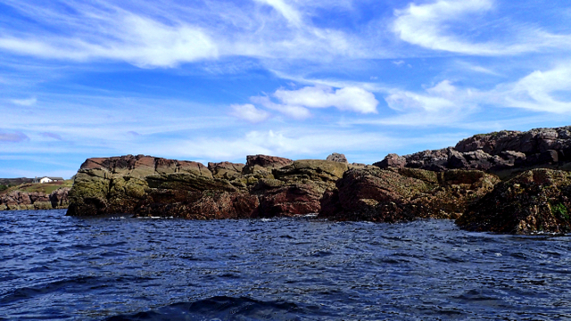
Sgeir nan Rath is a small uninhabited island located off the coast of Ross-shire, Scotland. With a total land area of approximately 0.4 hectares, the island is situated in the North Atlantic Ocean, within the Inner Sound between the mainland and the Isle of Skye.

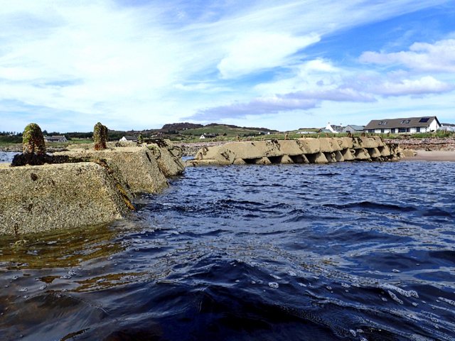
Sgeir nan Rath is a rocky island, characterized by its jagged cliffs and rugged terrain. The island is primarily composed of ancient Precambrian Lewisian gneiss, a type of metamorphic rock that gives it a distinctive appearance. The surrounding waters are shallow, and the island is exposed during low tides, making it accessible to visitors for short periods.

Although Sgeir nan Rath is uninhabited, it is home to a diverse array of wildlife. The surrounding waters are rich in marine life, including seals, dolphins, and various species of seabirds. The island itself provides nesting grounds for seabirds such as fulmars, guillemots, and puffins. Birdwatchers often visit the island during the summer months to observe these nesting colonies.

Due to its remote location and limited size, Sgeir nan Rath does not offer any facilities or amenities for visitors. However, its natural beauty and unique geological features make it a popular destination for nature enthusiasts and photographers. Access to the island is typically by private boat or during guided tours.

In summary, Sgeir nan Rath is a small, uninhabited island off the coast of Ross-shire, Scotland. Its rugged terrain, ancient rock formations, and diverse wildlife attract visitors who appreciate its natural beauty and tranquility.

If you have any feedback on the listing, please let us know in the comments section below.

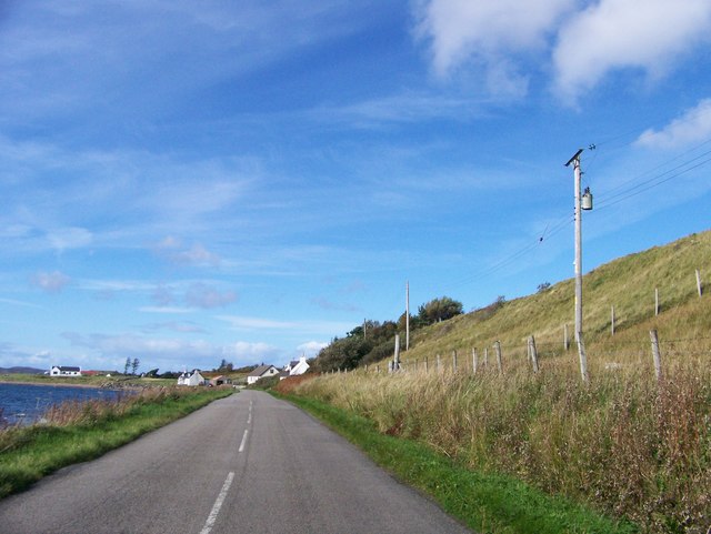
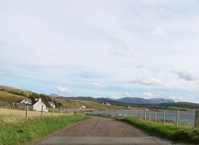
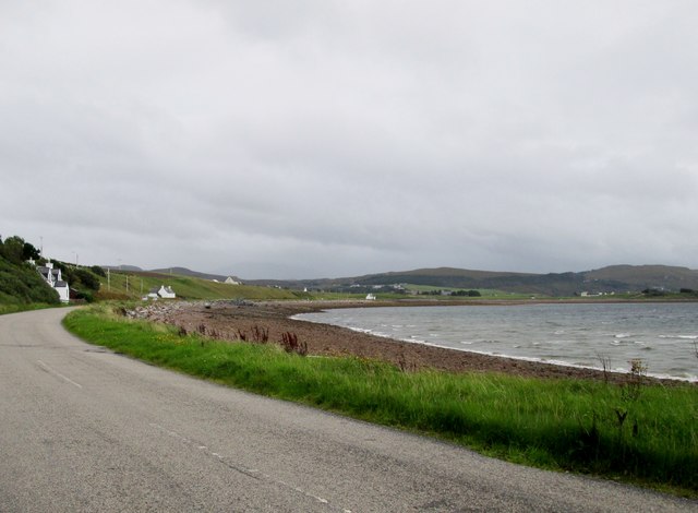
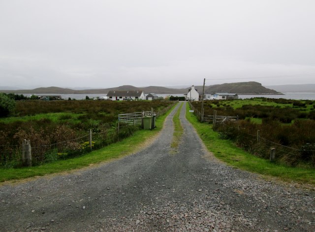
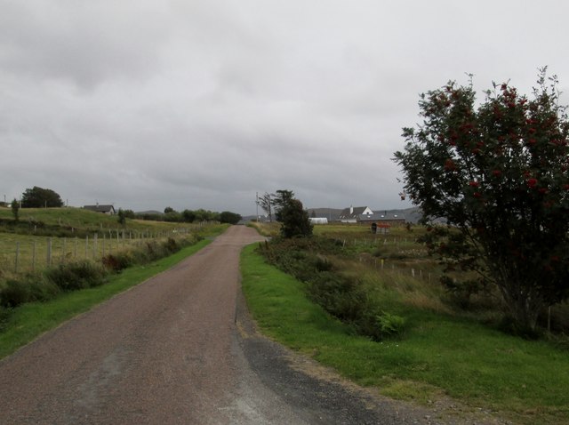
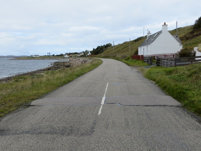
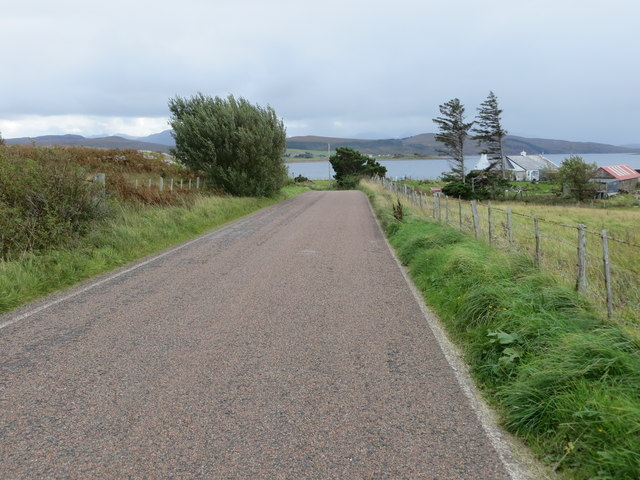
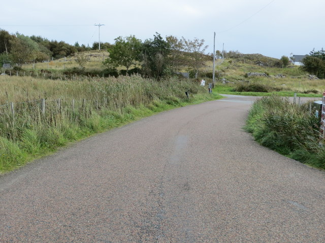
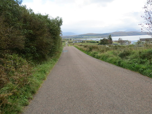
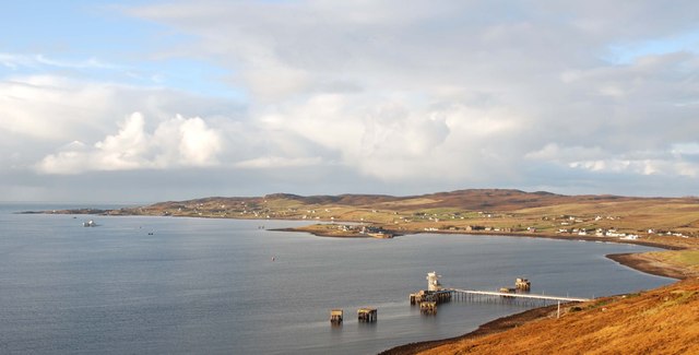
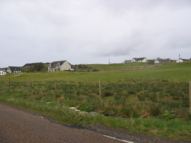
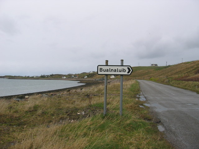
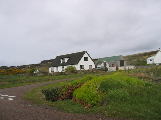
Sgeir nan Rath Images

Images are sourced within 2km of 57.842248/-5.6307101 or Grid Reference NG8489. Thanks to Geograph Open Source API. All images are credited.

Rubh' a' Choin
Rubh' a' Choin
Remains of Jetty, Mellon Charles I first visited Loch Ewe in 2013 and was amazed on discovering its role in World War II. An unassuming role modestly portrayed in a few information boards scattered around its coast. WW2 remains abound, anti aircraft gun emplacements, military buildings and foundations. Loch Ewe is a deep sea loch and during the war it was used to muster merchant shipping in relative safety before heading off with vital supplies to Murmansk in war torn Russia, in what has become known as the Arctic Convoys. The convoys, of up to 40 ships with Navy escorts, sailed close to the Arctic pack ice in an attempt to avoid German U Boats. Many were unsuccessful.

To protect the ships while in Loch Ewe an anti submarine net or boom was laid across the loch at its narrowest point, about 3km. Barrage balloons and anti aircraft guns provided protection against airborne attack. During the war military personnel outnumbered the local population by 3:1.

Mellon Charles was the Boom Defence Depot. The most visible remains is this concrete jetty forming an island that has been adopted by a colony of terns which took to divebombing us as we paddled past.

The seas around Mellon Charles are particularly rich in marine life and have been designated by the Scottish Wildlife Trust as part of their Snorkel Trail. Yet in spite this accolade the beach was exceptionally quiet. Golden sands but marred only by a thick tide mark of drying kelp. Only one other car arrived, an ex-serviceman looking up old haunts. He was stationed here for two weeks in 1972 as part of the Royal Marines Arctic warfare section.
Remains of Jetty, Mellon Charles
I first visited Loch Ewe in 2013 and was amazed on discovering its role in World War II. An unassuming role modestly portrayed in a few information boards scattered around its coast. WW2 remains abound, anti aircraft gun emplacements, military buildings and foundations. Loch Ewe is a deep sea loch and during the war it was used to muster merchant shipping in relative safety before heading off with vital supplies to Murmansk in war torn Russia, in what has become known as the Arctic Convoys. The convoys, of up to 40 ships with Navy escorts, sailed close to the Arctic pack ice in an attempt to avoid German U Boats. Many were unsuccessful. To protect the ships while in Loch Ewe an anti submarine net or boom was laid across the loch at its narrowest point, about 3km. Barrage balloons and anti aircraft guns provided protection against airborne attack. During the war military personnel outnumbered the local population by 3:1. Mellon Charles was the Boom Defence Depot. The most visible remains is this concrete jetty forming an island that has been adopted by a colony of terns which took to divebombing us as we paddled past. The seas around Mellon Charles are particularly rich in marine life and have been designated by the Scottish Wildlife Trust as part of their Snorkel Trail. Yet in spite this accolade the beach was exceptionally quiet. Golden sands but marred only by a thick tide mark of drying kelp. Only one other car arrived, an ex-serviceman looking up old haunts. He was stationed here for two weeks in 1972 as part of the Royal Marines Arctic warfare section.
Mellon Charles Beach
Ship mooring point An anchorage for ocean going ships.
Ship mooring point
An anchorage for ocean going ships.
Slipway at Ormiscaig Recycling the concrete anchor points used to hold the submarine netting across Loch Ewe.
Slipway at Ormiscaig
Recycling the concrete anchor points used to hold the submarine netting across Loch Ewe.
Shore road near Ormiscaig
Leaving Ormiscaig heading to Aultbea
Road  following  loch  side  toward  Aultbea
Road following loch side toward Aultbea
Track  to  crofts  in  Ormiscaig The water beyond is Loch Ewe and the land beyond is the Isle of Ewe
Track to crofts in Ormiscaig
The water beyond is Loch Ewe and the land beyond is the Isle of Ewe
Minor  road  passing  through  Ormiscaig One of a number of crofting community's along this road
Minor road passing through Ormiscaig
One of a number of crofting community's along this road
Road beside Loch Ewe entering Ormiscaig Looking north-westward.
Road beside Loch Ewe entering Ormiscaig
Looking north-westward.
Road near Ormiscaig Looking south-eastward.
Road near Ormiscaig
Looking south-eastward.
Road at Mellon Charles Looking south-eastward.
Road at Mellon Charles
Looking south-eastward.
Road between Mellon Charles and Ormiscaig Looking south-eastward.
Road between Mellon Charles and Ormiscaig
Looking south-eastward.
Loch Ewe In the foreground is the NATO refuelling base.  In the middle distance is the linear settlement of Aultbea with the pier at Aird Point.  In the background by the headland is the settlement of Mellon Charles.
Loch Ewe
In the foreground is the NATO refuelling base. In the middle distance is the linear settlement of Aultbea with the pier at Aird Point. In the background by the headland is the settlement of Mellon Charles.
Ormiscaig Crofting community.
Ormiscaig
Crofting community.
Coastline by Bualnaluib Small coastal crofting community.
Coastline by Bualnaluib
Small coastal crofting community.
Near Mellon Charles Modern bungalows are replacing the old croft houses.
Near Mellon Charles
Modern bungalows are replacing the old croft houses.
Show me another place!

Sgeir nan Rath is located at Grid Ref: NG8489 (Lat: 57.842248, Lng: -5.6307101)

Unitary Authority: Highland

Police Authority: Highlands and Islands

What 3 Words

///thighs.revamping.weds. Near Gairloch, Highland

Related Wikis

Loch Ewe

Loch Ewe (Scottish Gaelic: Loch Iùbh) is a sea loch in the region of Wester Ross in the Northwest Highlands of Scotland. The shores are inhabited by a...

Isle of Ewe

The Isle of Ewe (Scottish Gaelic: Eilean Iùbh) is a small Scottish island on the west coast of Ross and Cromarty. The island is inhabited by a single family...

Ormiscaig

Ormiscaig (Scottish Gaelic: Ormasgaig) is a remote crofting village on the north east shore of Loch Ewe in Achnasheen, Ross-shire, Scottish Highlands and...

Mellon Charles

Mellon Charles (Scottish Gaelic: Meallan Theàrlaich) is a remote crofting village on the north east shore of Loch Ewe near Gairloch in Wester Ross, in...

Aultbea

Aultbea (Gaelic: An t-Allt Beithe) is a small coastal fishing village in the North-West Highlands of Scotland. It is situated on the southeast shore of...

Loch Ewe distillery

Loch Ewe distillery in Drumchork near Aultbea in the Scottish Highlands was the smallest legally operated distillery in Scotland. It was set up in 2005...

Cove, Highland

Cove is a remote hamlet located on the northwestern shore of the sea loch Loch Ewe, and 8 mi (13 km) northwest of Poolewe in Ross-shire, Scottish Highlands...

Inverasdale

Inverasdale (Scottish Gaelic: Inbhir Àsdail) is a hamlet in the Northwest Highlands of Scotland, located by Loch Ewe, in the region of Wester Ross. �...

Nearby Amenities

Located within 500m of 57.842248,-5.6307101
Created By: almien_coastlines
Source: PGS
Lat/Long: 57.846427/-5.632267
Source: PGS
Lat/Long: 57.8462154/-5.6321791
Source: PGS
Lat/Long: 57.8458848/-5.6323344
Source: PGS
Lat/Long: 57.8451855/-5.6324897
Source: PGS
Lat/Long: 57.8449725/-5.6327644
Source: PGS
Lat/Long: 57.8446197/-5.6329257
Source: PGS
Lat/Long: 57.8444004/-5.6331885
Source: PGS
Lat/Long: 57.844216/-5.6333676
Source: PGS
Lat/Long: 57.8435962/-5.6338216
Source: PGS
Lat/Long: 57.843345/-5.6337678
Created By: almien_coastlines
Source: PGS
Lat/Long: 57.842551/-5.633906
Source: PGS
Lat/Long: 57.842385/-5.6336961
Created By: almien_coastlines
Source: PGS
Lat/Long: 57.842448/-5.632697
Created By: almien_coastlines
Source: PGS
Lat/Long: 57.842458/-5.632217
Source: PGS
Lat/Long: 57.842633/-5.6303037
Created By: almien_coastlines
Source: PGS
Lat/Long: 57.841603/-5.630233
Source: PGS
Lat/Long: 57.8414854/-5.6294676
Source: PGS
Lat/Long: 57.841177/-5.629157
Source: PGS
Lat/Long: 57.841034/-5.6286434
Source: PGS
Lat/Long: 57.8409418/-5.6277475
Source: PGS
Lat/Long: 57.8406493/-5.6272757
Source: PGS
Lat/Long: 57.8399309/-5.6271502
Source: PGS
Lat/Long: 57.8398323/-5.626762
Source: PGS
Lat/Long: 57.8397878/-5.6259378
Created By: almien_coastlines
Source: PGS
Lat/Long: 57.839907/-5.625549
Source: PGS
Lat/Long: 57.840341/-5.6251435
Source: PGS
Lat/Long: 57.8405667/-5.6245044
Source: PGS
Lat/Long: 57.8407352/-5.6241938
Created By: almien_coastlines
Source: PGS
Lat/Long: 57.840837/-5.623934
Source: PGS
Lat/Long: 57.8406493/-5.623065
The data included in this document is from www.openstreetmap.org. The data is made available under ODbL.

Have you been to Sgeir nan Rath?

Leave your review of Sgeir nan Rath below (or comments, questions and feedback).