Creag Dhubh

Coastal Feature, Headland, Point in Argyllshire

Scotland

Creag Dhubh

Head of Loch Craignish A Sea loch.
Head of Loch Craignish Credit: Robert Murray

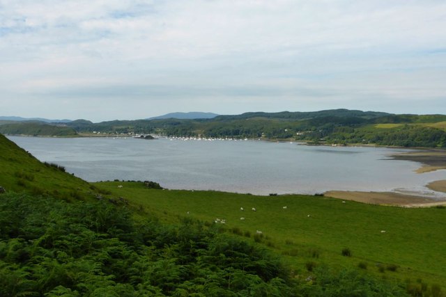
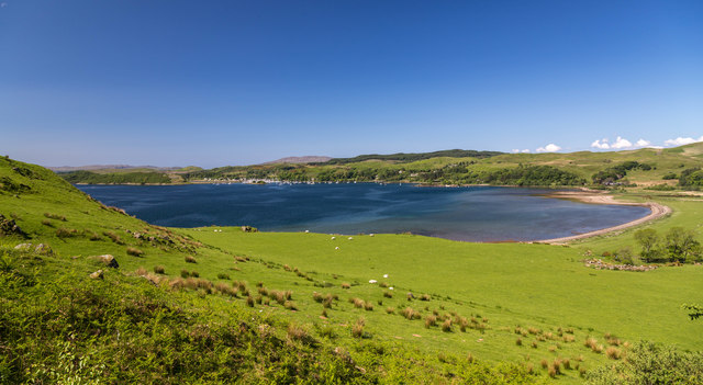
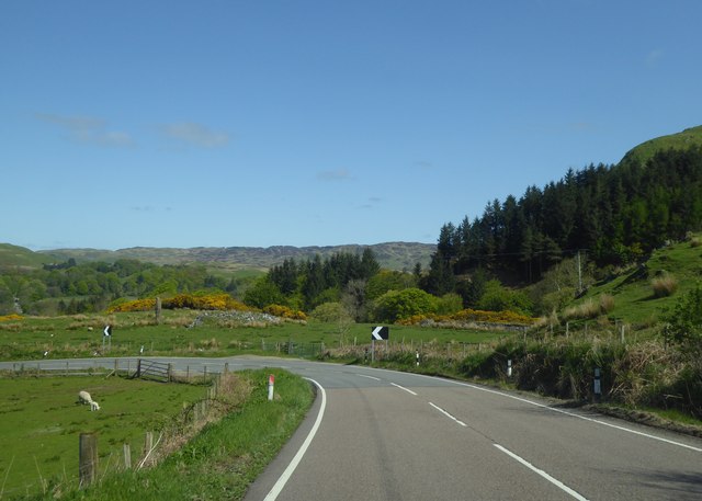
Creag Dhubh is a prominent coastal feature located in Argyllshire, Scotland. It is a headland that extends into the scenic coastline, forming a distinct point that offers breathtaking views of the surrounding area. The name "Creag Dhubh" translates to "black rock" in Gaelic, which accurately describes the dark, imposing cliffs that characterize this headland.

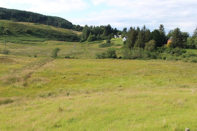
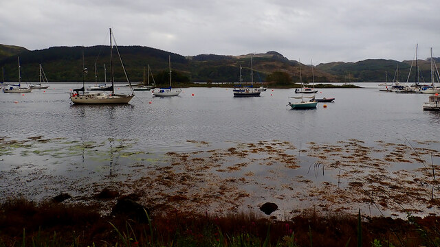
Situated on the western coast of Scotland, Creag Dhubh is known for its rugged beauty and dramatic landscape. The headland is composed of towering cliffs that rise steeply from the sea, creating a striking contrast against the blue waters below. The cliffs are made up of dark-colored rocks, adding to the dramatic visual impact of the area.

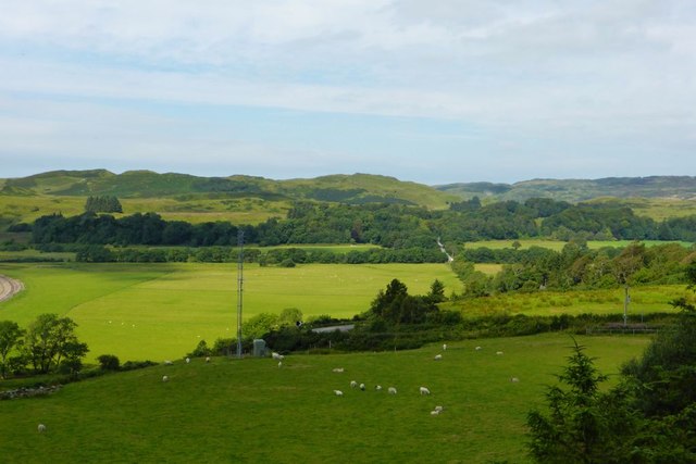
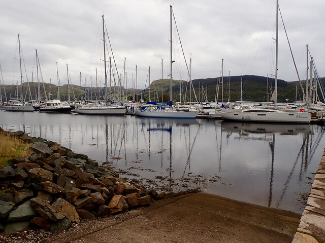
The headland is a popular destination for outdoor enthusiasts and nature lovers, offering opportunities for hiking, birdwatching, and photography. The coastal path that winds around Creag Dhubh provides stunning panoramic views of the surrounding area, including the nearby islands and the vast expanse of the Atlantic Ocean.

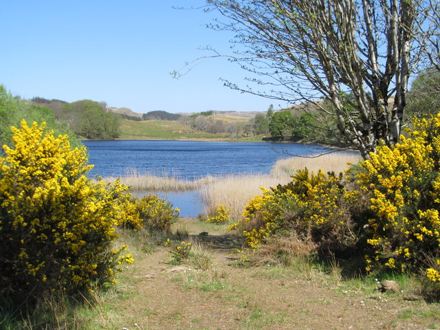
Creag Dhubh is also home to a diverse range of flora and fauna. The cliffs provide nesting sites for various seabirds, such as gannets, puffins, and razorbills. Marine life can also be observed in the waters surrounding the headland, with seals and dolphins occasionally spotted by lucky visitors.

In conclusion, Creag Dhubh in Argyllshire is a captivating coastal feature that showcases the raw beauty of Scotland's western coast. With its towering cliffs, stunning views, and abundant wildlife, it is a must-visit destination for those seeking a true Scottish coastal experience.

If you have any feedback on the listing, please let us know in the comments section below.
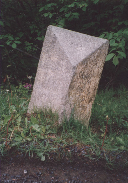
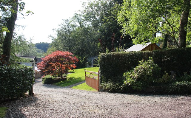
Creag Dhubh Images

Images are sourced within 2km of 56.191855/-5.5152671 or Grid Reference NM8105. Thanks to Geograph Open Source API. All images are credited.
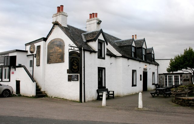
Head of Loch Craignish A Sea loch.
Head of Loch Craignish
A Sea loch.
Bend on the A816 I thought take this view as everyone else has taken photos of the standing stone nearby.
Bend on the A816
I thought take this view as everyone else has taken photos of the standing stone nearby.
Loch Craignish View looking over the head of Loch Craignish.
Loch Craignish
View looking over the head of Loch Craignish.
Loch nah Ardlaraich, near Ardfern
A816 by Kintraw Standing Stone and Cairns
A816 north of Kintraw
A816 approaching Acharonich
Turning for Barrananaoil
The Galley Of Lorne Inn, Ardfern A Category C listed pub/hotel, dating from about 1800. It was previously called the Craignish Inn and also the Ardfern Inn.
The Galley Of Lorne Inn, Ardfern
A Category C listed pub/hotel, dating from about 1800. It was previously called the Craignish Inn and also the Ardfern Inn.
Sign for the Galley of Lorne Inn The inn [<a title="https://www.geograph.org.uk/photo/5963628" href="https://www.geograph.org.uk/photo/5963628">Link</a>] gets its name from the Galley of Lorne - the Symbol of Somerled, Lord of Lorne, King of the Western Isles, who pushed out the Vikings and set up the present Clan system.
Sign for the Galley of Lorne Inn
The inn [Link] gets its name from the Galley of Lorne - the Symbol of Somerled, Lord of Lorne, King of the Western Isles, who pushed out the Vikings and set up the present Clan system.
Rough grazing near Hill Park
Old Milestone by the A816, Barravullin, Ardnish Parish By the A816, in parish of Ardnish (Argyll & Bute District), South of Barravullin, on verge in old quarry.

Inscription once read:- : Oban 22½ : : Ardrishaig 16½ :

Surveyed

Milestone Society National ID: AB_ONLG22.
Old Milestone by the A816, Barravullin, Ardnish Parish
By the A816, in parish of Ardnish (Argyll & Bute District), South of Barravullin, on verge in old quarry. Inscription once read:- : Oban 22½ : : Ardrishaig 16½ : Surveyed Milestone Society National ID: AB_ONLG22.
Old Milestone by the A816, Kintraw, Kilmartin parish Milestone by the A816, in parish of Kilmartin (Argyll & Bute District), North end of Loch Craignish, on verge.

Inscription once read:-
: (Ardrishaig / 14½) : : (Oban / 24½) :

Surveyed

Milestone Society National ID: AB_ONLG24
Old Milestone by the A816, Kintraw, Kilmartin parish
Milestone by the A816, in parish of Kilmartin (Argyll & Bute District), North end of Loch Craignish, on verge. Inscription once read:- : (Ardrishaig / 14½) : : (Oban / 24½) : Surveyed Milestone Society National ID: AB_ONLG24
Old Milestone by the A816, north of Barbreck Bridge Milestone by the A816, in parish of Ardnish (Argyll & Bute District), North of junction with the B8002, opposite telephone box and exchange, behind Armco barrier.

Inscription once read:-
: (ARDRISHAIG / 15½ / MILES) : : (OBAN / 23½ / MILES) :  

Surveyed

Milestone Society National ID: AB_ONLG23
Old Milestone by the A816, north of Barbreck Bridge
Milestone by the A816, in parish of Ardnish (Argyll & Bute District), North of junction with the B8002, opposite telephone box and exchange, behind Armco barrier. Inscription once read:- : (ARDRISHAIG / 15½ / MILES) : : (OBAN / 23½ / MILES) : Surveyed Milestone Society National ID: AB_ONLG23
Country garden in Ardfern
Meadow below Beinn an Dùin, Ardfern
Ardfen marina
Ardfen marina
Eilean Inshaig
Eilean Inshaig
Show me another place!

Creag Dhubh is located at Grid Ref: NM8105 (Lat: 56.191855, Lng: -5.5152671)

Unitary Authority: Argyll and Bute

Police Authority: Argyll and West Dunbartonshire

What 3 Words

///ground.shampoo.spreading. Near Lochgilphead, Argyll & Bute

Related Wikis

Ardfern

Ardfern (Scottish Gaelic: Aird Fheàrna, meaning "the head-land of alder-trees") is a village in Argyll and Bute, Scotland. It lies on the south coast of...

Dunan Aula

Dunan Aula, also known in Scottish Gaelic as Dùnan Amhlaidh, is the site of an exposed cist, located in the parish of Craignish, in Argyll and Bute, Scotland...

Craignish

Craignish (Scottish Gaelic, Creiginis) is a peninsula in Argyll, on the west coast of Scotland. It lies around 25 miles (40 km) south of Oban, and 10 miles...

Eilean Mhic Chrion

Eilean Mhic Chrion is a tidal island sheltering Ardfern in Loch Craignish, Scotland. Eilean Mhic Chrion is one of 43 tidal islands that can be walked to...

Craobh Haven

Craobh Haven Scottish Gaelic pronunciation: [kɾɯːv] is a small purpose-built village and sailing port on the west coast of Argyll and Bute, Scotland. It...

Eilean Rìgh

Eilean Rìgh is an island in the Inner Hebrides of the west coast of Scotland. It lies in Loch Craignish, about 300 metres (1⁄8 mile) off the Argyll coastline...
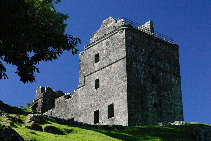
Carnasserie Castle

Carnasserie Castle (also spelled Carnassarie) is a ruined 16th-century tower house, noted for its unusual plan and renaissance detailing. It is located...

Asknish Bay

Asknish Bay is a small, remote, southwest-facing coastal embayment, located next to the small settlement of Arduaine within Argyll and Bute, Scotland....

Nearby Amenities

Located within 500m of 56.191855,-5.5152671
Source: PGS
Lat/Long: 56.1891575/-5.5204844
Source: PGS
Lat/Long: 56.1892017/-5.5202246
Source: PGS
Lat/Long: 56.1893264/-5.5198648
Source: PGS
Lat/Long: 56.1894072/-5.5196539
Source: PGS
Lat/Long: 56.1894656/-5.5195015
Source: PGS
Lat/Long: 56.1894918/-5.5192248
Source: PGS
Lat/Long: 56.1894596/-5.5190254
Source: PGS
Lat/Long: 56.1894612/-5.5188841
Source: PGS
Lat/Long: 56.1895705/-5.5187215
Source: PGS
Lat/Long: 56.1895752/-5.5185504
Source: PGS
Lat/Long: 56.1896692/-5.5182807
Source: PGS
Lat/Long: 56.1898389/-5.5174683
Source: PGS
Lat/Long: 56.1900564/-5.5166712
Source: PGS
Lat/Long: 56.1904225/-5.5164212
Source: PGS
Lat/Long: 56.1907015/-5.5158665
Source: PGS
Lat/Long: 56.1909541/-5.514685
Source: PGS
Lat/Long: 56.1905879/-5.51099
Source: PGS
Lat/Long: 56.1905665/-5.5107166
Source: PGS
Lat/Long: 56.1905263/-5.5098848
Source: PGS
Lat/Long: 56.1912518/-5.5081962
Source: PGS
Lat/Long: 56.1903891/-5.5091903
Power: pole
Lat/Long: 56.1925587/-5.5147367
Power: pole
Lat/Long: 56.1919642/-5.5143072
Power: pole
Lat/Long: 56.1902569/-5.5214969
The data included in this document is from www.openstreetmap.org. The data is made available under ODbL.

Have you been to Creag Dhubh?

Leave your review of Creag Dhubh below (or comments, questions and feedback).