Musselwick Point

Coastal Feature, Headland, Point in Pembrokeshire

Wales

Musselwick Point

Monk Haven, Pembs Defensive wall built across the exit from Monk Haven bay. Looking North
Monk Haven, Pembs Credit: Nigel Callaghan

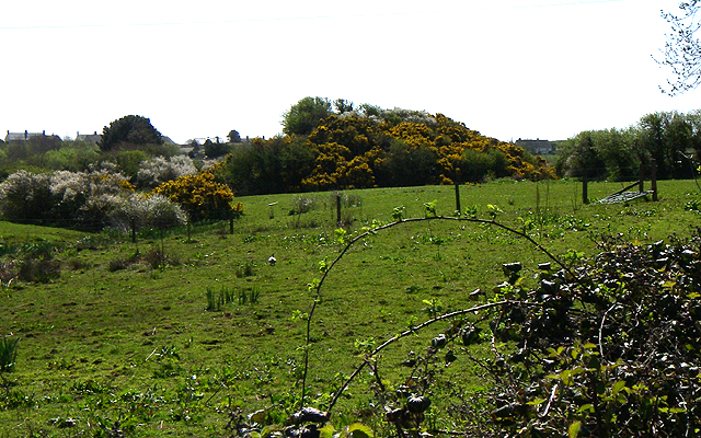
Musselwick Point is a prominent coastal feature located in the stunning region of Pembrokeshire, Wales. Positioned on the western coast of the country, it is a captivating headland that juts out into the vast expanse of the Celtic Sea.

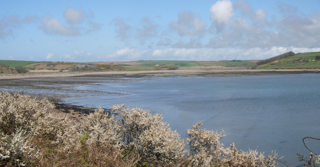
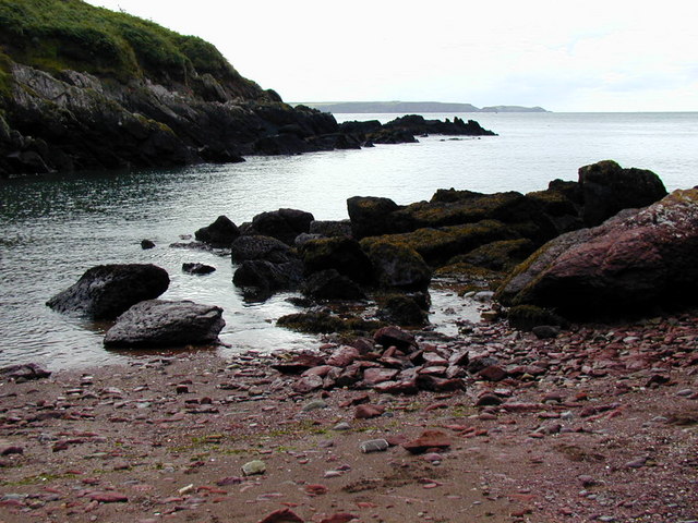
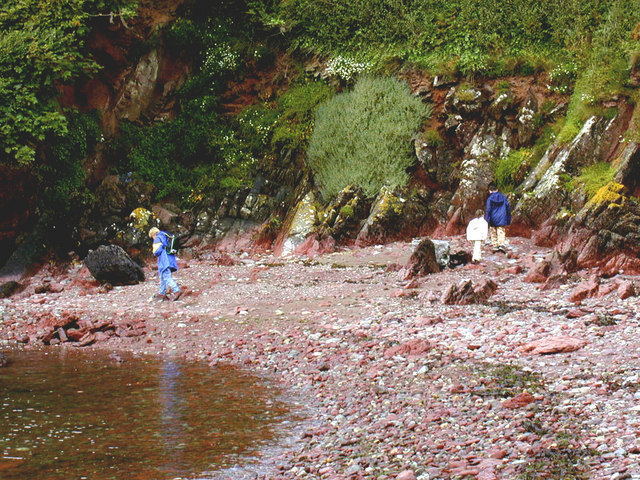
This scenic point is known for its rugged and dramatic cliffs, which offer breathtaking views of the surrounding landscape. The cliffs, composed mainly of sedimentary rock, display a variety of colors and textures, ranging from deep browns to striking reds, creating a visually appealing spectacle. The exposed rock formations also demonstrate the geological history of the area, providing a glimpse into the ancient past of the region.

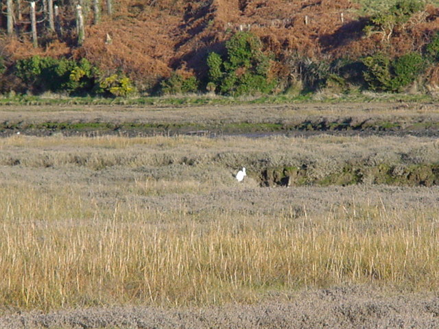
Musselwick Point is famed for its diverse wildlife and is home to a plethora of bird species, making it a popular destination for birdwatchers. The surrounding waters are abundant with marine life, including seals, dolphins, and various species of fish, attracting nature enthusiasts and photographers alike.

Additionally, the headland offers opportunities for outdoor activities such as hiking and coastal walks, allowing visitors to explore and appreciate the natural beauty of the area. The nearby Musselwick Sands, a picturesque sandy beach, provides a scenic spot for relaxation and enjoyment during low tide.

Overall, Musselwick Point stands as a captivating coastal feature in Pembrokeshire, combining stunning landscapes, rich geological formations, and a diverse array of flora and fauna. Whether it be for its scenic beauty, wildlife, or outdoor activities, this headland is an exceptional destination for nature enthusiasts and those seeking a tranquil escape.

If you have any feedback on the listing, please let us know in the comments section below.

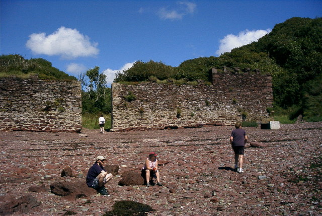
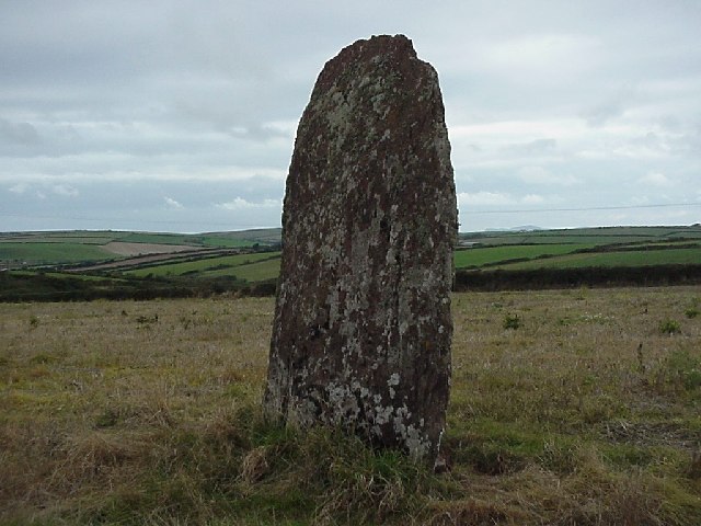
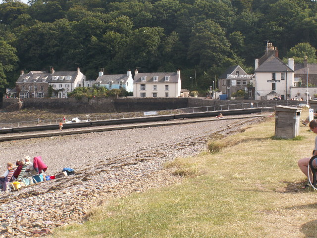
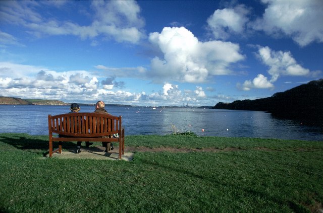
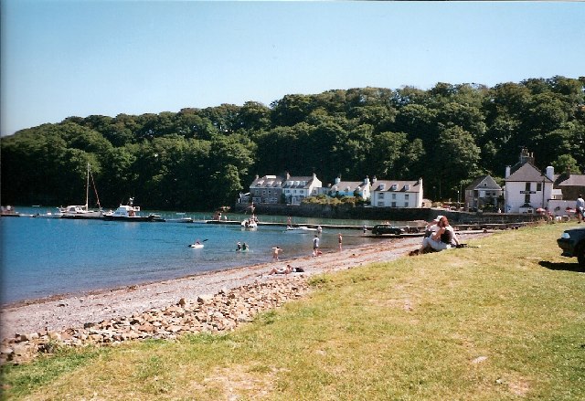
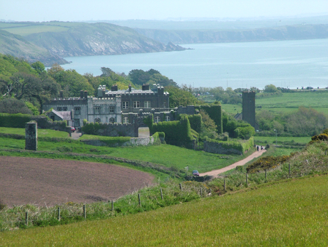
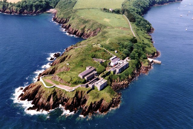
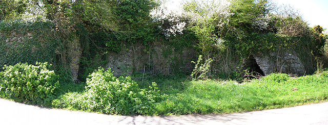
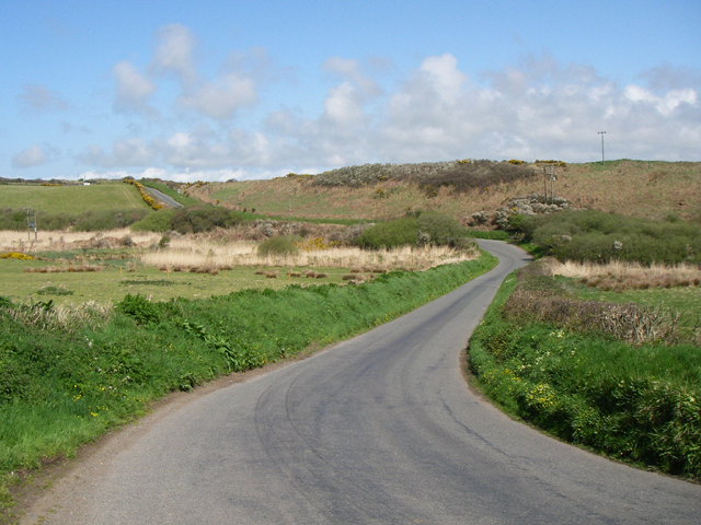
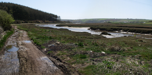
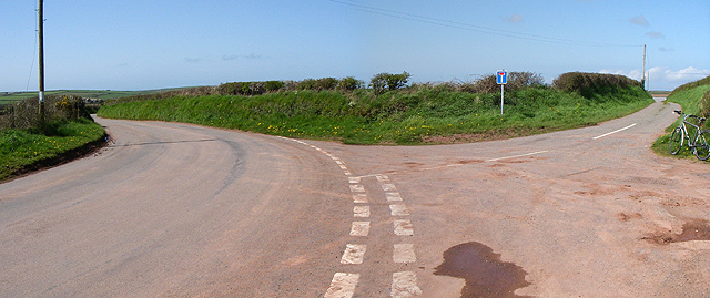
Musselwick Point Images

Images are sourced within 2km of 51.712748/-5.1565317 or Grid Reference SM8206. Thanks to Geograph Open Source API. All images are credited.

Monk Haven, Pembs Defensive wall built across the exit from Monk Haven bay. Looking North
Monk Haven, Pembs
Defensive wall built across the exit from Monk Haven bay. Looking North
Mabesgate standing stone viewed looking NW. It is covered in many interesting lichens.
Mabesgate standing stone
viewed looking NW. It is covered in many interesting lichens.
Dale, Pembrokeshire Dale beach and coastal houses.
Dale, Pembrokeshire
Dale beach and coastal houses.
Dale - Pembrokeshire.
Dale Dale is where in 1485 Henry Tudor landed on his return from exile in France, en route to his defeat of Richard III at Bosworth Field.
Dale
Dale is where in 1485 Henry Tudor landed on his return from exile in France, en route to his defeat of Richard III at Bosworth Field.
Dale Castle and Church. Taken looking almost due east.
Dale Castle and Church.
Taken looking almost due east.
Dale Fort Field Centre Built in 1856 for military use (protection of Milford Haven) it has been owned by the Field Studies Council as a field centre since 1947. The entire kilometre square is the centre and used by many 1000's of students each year. 70% of the students are A Level biologists working on the nearby shores to understand ecology.
Dale Fort Field Centre
Built in 1856 for military use (protection of Milford Haven) it has been owned by the Field Studies Council as a field centre since 1947. The entire kilometre square is the centre and used by many 1000's of students each year. 70% of the students are A Level biologists working on the nearby shores to understand ecology.
Bay I think this whole area is part of the bay called 'Dale Roads'.
Bay
I think this whole area is part of the bay called 'Dale Roads'.
Lime Kilns These 2 lime kilns are a little overgrown so are difficult to make out here. 
They are not shown on the OS map but are across the road from the car park at SM 808 066.
Lime Kilns
These 2 lime kilns are a little overgrown so are difficult to make out here. They are not shown on the OS map but are across the road from the car park at SM 808 066.
Stretch of Road The Pembrokeshire Coast Path runs along this stretch of road when the tide is in at 'Pickleridge'.
Stretch of Road
The Pembrokeshire Coast Path runs along this stretch of road when the tide is in at 'Pickleridge'.
Track Looking south.
Track
Looking south.
No Through Road The road to West Lodge farm.
No Through Road
The road to West Lodge farm.
Motte The Motte to the north of St.Ishmael's.
Motte
The Motte to the north of St.Ishmael's.
Dale Fort and Dale Roads Looking into Milford Haven.
Dale Fort and Dale Roads
Looking into Milford Haven.
Dale Fort Overlooking Dale Roads, in Milford Haven. Now a biology field centre.
Dale Fort
Overlooking Dale Roads, in Milford Haven. Now a biology field centre.
Wetlands to the rear of the Gann estuary Near Dale. The white blob in the centre of view is a little egret - a typical wetland bird.
Wetlands to the rear of the Gann estuary
Near Dale. The white blob in the centre of view is a little egret - a typical wetland bird.
Monk Haven
Monk Haven
Monk Haven
Monk Haven
Show me another place!

Musselwick Point is located at Grid Ref: SM8206 (Lat: 51.712748, Lng: -5.1565317)

Unitary Authority: Pembrokeshire

Police Authority: Dyfed Powys

What 3 Words

///sapping.flags.finest. Near Dale, Pembrokeshire

Related Wikis

Dale, Pembrokeshire

Dale is both a small village and a community in Pembrokeshire, Wales, located on the peninsula which forms the northern side of the entrance to the Milford...
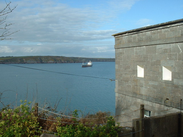
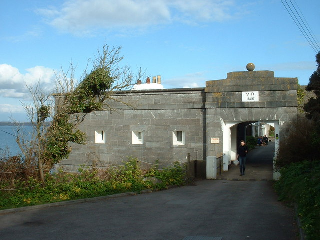
Dale Fort

Dale Fort is a mid-19th-century coastal artillery fort at Dale Head, a rocky promontory near Dale, Pembrokeshire, west of Milford Haven in Wales. It is...

Dale Castle

Dale Castle is a 13th-century castle located close to the village of Dale in Pembrokeshire, Wales. In 1910, part of the castle was removed and other parts...

St Ishmaels

St Ishmaels or St Ishmael's (Welsh: Llanismel) is a village, parish and community close to the Milford Haven Waterway in Pembrokeshire, Wales. The community...

Nearby Amenities

Located within 500m of 51.712748,-5.1565317
Power: pole
Lat/Long: 51.7169956/-5.1588348
Power: pole
Lat/Long: 51.7167131/-5.15847
The data included in this document is from www.openstreetmap.org. The data is made available under ODbL.

Have you been to Musselwick Point?

Leave your review of Musselwick Point below (or comments, questions and feedback).