Eilean Tràighte
Island in Argyllshire
Scotland
Eilean Tràighte
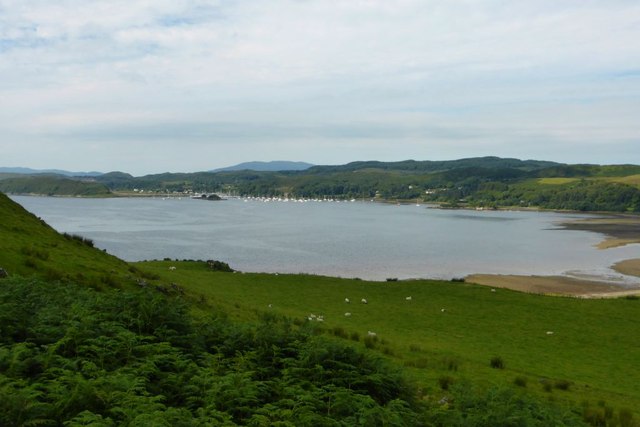
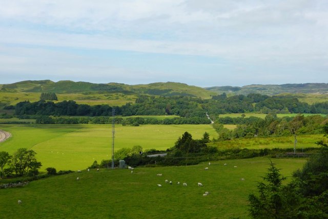
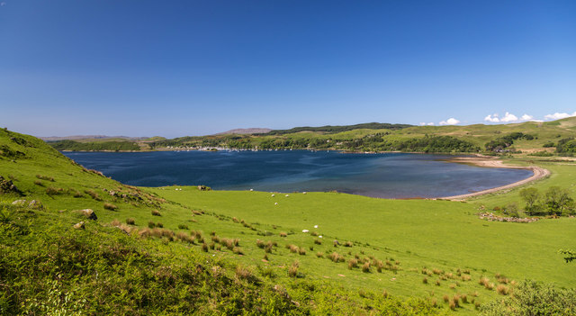
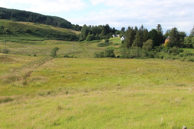
Eilean Tràighte is a small island located in Argyllshire, Scotland. Situated off the west coast of the mainland, it is part of the Inner Hebrides archipelago. With a total area of approximately 2 square kilometers, the island is characterized by its rugged and picturesque landscape, offering stunning views of the surrounding sea and neighboring islands.
Despite its small size, Eilean Tràighte boasts a rich history. The island has been inhabited since ancient times, with evidence of human presence dating back thousands of years. Ruins of old dwellings and structures can still be found, providing glimpses into its past. The island's name, which means "beach island" in Gaelic, reflects its sandy beaches and rocky shores, which make it an attractive destination for nature lovers and beachgoers alike.
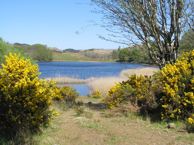
Eilean Tràighte is home to a diverse range of flora and fauna. The island's vegetation consists of a mix of grasses, heather, and wildflowers, creating a vibrant and colorful landscape. The surrounding waters are known for their rich marine life, making it a popular spot for fishing and diving enthusiasts.
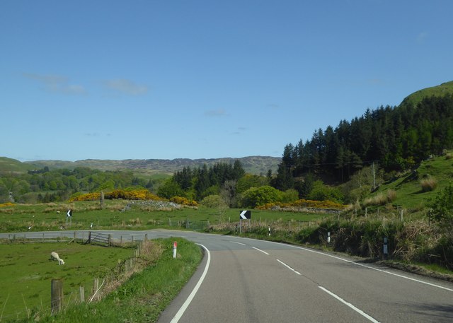
Access to Eilean Tràighte is primarily by boat, with several ferry services available from nearby towns. The island offers a peaceful and remote retreat, perfect for those seeking solitude and tranquility. Visitors can enjoy walks along the shoreline, explore the ruins, or simply take in the stunning natural beauty of the island.
Overall, Eilean Tràighte is a hidden gem in Argyllshire, offering a unique blend of history, natural beauty, and seclusion.
If you have any feedback on the listing, please let us know in the comments section below.
Eilean Tràighte Images
Images are sourced within 2km of 56.188639/-5.5183264 or Grid Reference NM8105. Thanks to Geograph Open Source API. All images are credited.
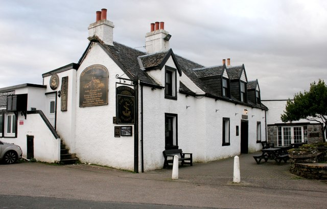
![Sign for the Galley of Lorne Inn The inn [<a title="https://www.geograph.org.uk/photo/5963628" href="https://www.geograph.org.uk/photo/5963628">Link</a>] gets its name from the Galley of Lorne - the Symbol of Somerled, Lord of Lorne, King of the Western Isles, who pushed out the Vikings and set up the present Clan system.](https://s3.geograph.org.uk/geophotos/05/96/39/5963983_5aced84d.jpg)
![Craignish Parish Church Category B listed church [<span class="nowrap"><a title="http://portal.historicenvironment.scot/designation/LB4991" rel="nofollow ugc noopener" href="http://portal.historicenvironment.scot/designation/LB4991">Link</a><img style="margin-left:2px;" alt="External link" title="External link - shift click to open in new window" src="https://s1.geograph.org.uk/img/external.png" width="10" height="10"/></span>] dating from 1826 in Ardfern. The village&#039;s war memorial is in front of the church.](https://s0.geograph.org.uk/geophotos/05/96/39/5963996_09bec37f.jpg)
![War Memorial, Craignish Parish Church, Ardfern IN
THE GREAT WAR
1914 - 1919
THEY DIED
FOR FREEDOM AND
FOR HONOUR
&quot;MARIDH AN AINM-
SAN GU SIORUIDH&quot;
For full transcription see [<span class="nowrap"><a title="https://canmore.org.uk/site/341320/ardfern-craignish-parish-church-war-memorial" rel="nofollow ugc noopener" href="https://canmore.org.uk/site/341320/ardfern-craignish-parish-church-war-memorial">Link</a><img style="margin-left:2px;" alt="External link" title="External link - shift click to open in new window" src="https://s1.geograph.org.uk/img/external.png" width="10" height="10"/></span>].](https://s3.geograph.org.uk/geophotos/05/96/40/5964043_ec7f6afd.jpg)
![Craignish Parish Church Category B listed church [<span class="nowrap"><a title="http://portal.historicenvironment.scot/designation/LB4991" rel="nofollow ugc noopener" href="http://portal.historicenvironment.scot/designation/LB4991">Link</a><img style="margin-left:2px;" alt="External link" title="External link - shift click to open in new window" src="https://s1.geograph.org.uk/img/external.png" width="10" height="10"/></span>] dating from 1826 in Ardfern.](https://s0.geograph.org.uk/geophotos/05/96/40/5964056_62e97efa.jpg)

Eilean Tràighte is located at Grid Ref: NM8105 (Lat: 56.188639, Lng: -5.5183264)
Unitary Authority: Argyll and Bute
Police Authority: Argyll and West Dunbartonshire
What 3 Words
///belief.thumps.hush. Near Lochgilphead, Argyll & Bute
Nearby Locations
Related Wikis

Ardfern
Ardfern (Scottish Gaelic: Aird Fheàrna, meaning "the head-land of alder-trees") is a village in Argyll and Bute, Scotland. It lies on the south coast of...

Craignish
Craignish (Scottish Gaelic, Creiginis) is a peninsula in Argyll, on the west coast of Scotland. It lies around 25 miles (40 km) south of Oban, and 10 miles...

Eilean Mhic Chrion
Eilean Mhic Chrion is a tidal island sheltering Ardfern in Loch Craignish, Scotland. Eilean Mhic Chrion is one of 43 tidal islands that can be walked to...

Dunan Aula
Dunan Aula, also known in Scottish Gaelic as Dùnan Amhlaidh, is the site of an exposed cist, located in the parish of Craignish, in Argyll and Bute, Scotland...
Craobh Haven
Craobh Haven Scottish Gaelic pronunciation: [kɾɯːv] is a small purpose-built village and sailing port on the west coast of Argyll and Bute, Scotland. It...
Eilean Rìgh
Eilean Rìgh is an island in the Inner Hebrides of the west coast of Scotland. It lies in Loch Craignish, about 300 metres (1⁄8 mile) off the Argyll coastline...
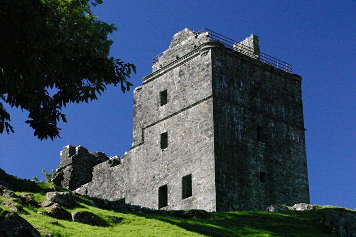
Carnasserie Castle
Carnasserie Castle (also spelled Carnassarie) is a ruined 16th-century tower house, noted for its unusual plan and renaissance detailing. It is located...
Loch Craignish
Loch Craignish is a sea loch on the mid-Argyll coast. == Geography == Loch Craignish lies between Oban and the Crinan Canal. Its opens into the Sound of...
Nearby Amenities
Located within 500m of 56.188639,-5.5183264Have you been to Eilean Tràighte?
Leave your review of Eilean Tràighte below (or comments, questions and feedback).