Loch na Bèiste
Lake, Pool, Pond, Freshwater Marsh in Argyllshire
Scotland
Loch na Bèiste

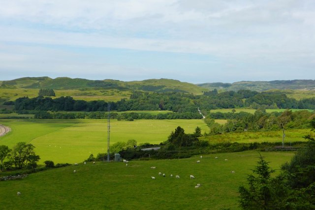
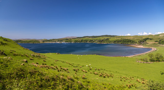
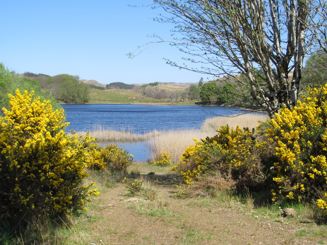
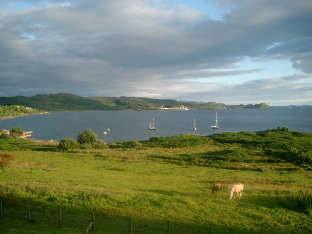
Loch na Bèiste, located in Argyllshire, Scotland, is a picturesque freshwater loch encompassing an area of approximately 4 hectares. Nestled amidst the scenic beauty of the Scottish Highlands, this natural waterbody offers breathtaking views of the surrounding rugged mountains and lush greenery.
With its crystal-clear waters, Loch na Bèiste is a haven for various aquatic flora and fauna. The loch is home to a diverse range of fish species, including brown trout and arctic char, which thrive in its deep and cold waters. Anglers are often drawn to this loch for its excellent fishing opportunities.
Surrounding the loch is a rich freshwater marsh, which serves as a vital habitat for numerous bird species. The marshland supports a variety of plant life, such as reeds and water lilies, creating a vibrant ecosystem that attracts diverse birdlife. Birdwatchers can spot species like red-throated divers, golden eagles, and herons, making Loch na Bèiste a popular destination for nature enthusiasts.
The loch also offers recreational activities for visitors, such as boating and kayaking. Its calm waters provide a tranquil environment for leisurely exploration or picnicking along the shore. Moreover, the surrounding area offers ample hiking trails, allowing visitors to fully immerse themselves in the natural beauty of the Scottish Highlands.
Overall, Loch na Bèiste in Argyllshire is a captivating freshwater loch, offering a serene setting, abundant wildlife, and outdoor activities for nature lovers and adventure seekers alike.
If you have any feedback on the listing, please let us know in the comments section below.
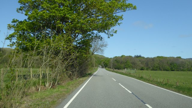
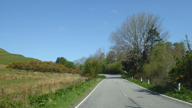
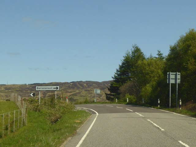
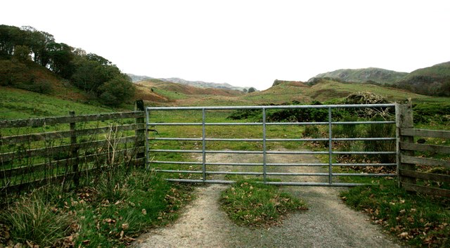
Loch na Bèiste Images
Images are sourced within 2km of 56.195318/-5.525647 or Grid Reference NM8105. Thanks to Geograph Open Source API. All images are credited.


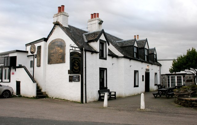
![Sign for the Galley of Lorne Inn The inn [<a title="https://www.geograph.org.uk/photo/5963628" href="https://www.geograph.org.uk/photo/5963628">Link</a>] gets its name from the Galley of Lorne - the Symbol of Somerled, Lord of Lorne, King of the Western Isles, who pushed out the Vikings and set up the present Clan system.](https://s3.geograph.org.uk/geophotos/05/96/39/5963983_5aced84d.jpg)
![Craignish Parish Church Category B listed church [<span class="nowrap"><a title="http://portal.historicenvironment.scot/designation/LB4991" rel="nofollow ugc noopener" href="http://portal.historicenvironment.scot/designation/LB4991">Link</a><img style="margin-left:2px;" alt="External link" title="External link - shift click to open in new window" src="https://s1.geograph.org.uk/img/external.png" width="10" height="10"/></span>] dating from 1826 in Ardfern. The village&#039;s war memorial is in front of the church.](https://s0.geograph.org.uk/geophotos/05/96/39/5963996_09bec37f.jpg)
![War Memorial, Craignish Parish Church, Ardfern IN
THE GREAT WAR
1914 - 1919
THEY DIED
FOR FREEDOM AND
FOR HONOUR
&quot;MARIDH AN AINM-
SAN GU SIORUIDH&quot;
For full transcription see [<span class="nowrap"><a title="https://canmore.org.uk/site/341320/ardfern-craignish-parish-church-war-memorial" rel="nofollow ugc noopener" href="https://canmore.org.uk/site/341320/ardfern-craignish-parish-church-war-memorial">Link</a><img style="margin-left:2px;" alt="External link" title="External link - shift click to open in new window" src="https://s1.geograph.org.uk/img/external.png" width="10" height="10"/></span>].](https://s3.geograph.org.uk/geophotos/05/96/40/5964043_ec7f6afd.jpg)
![Craignish Parish Church Category B listed church [<span class="nowrap"><a title="http://portal.historicenvironment.scot/designation/LB4991" rel="nofollow ugc noopener" href="http://portal.historicenvironment.scot/designation/LB4991">Link</a><img style="margin-left:2px;" alt="External link" title="External link - shift click to open in new window" src="https://s1.geograph.org.uk/img/external.png" width="10" height="10"/></span>] dating from 1826 in Ardfern.](https://s0.geograph.org.uk/geophotos/05/96/40/5964056_62e97efa.jpg)
Loch na Bèiste is located at Grid Ref: NM8105 (Lat: 56.195318, Lng: -5.525647)
Unitary Authority: Argyll and Bute
Police Authority: Argyll and West Dunbartonshire
What 3 Words
///distorts.store.roofer. Near Lochgilphead, Argyll & Bute
Nearby Locations
Related Wikis

Craignish
Craignish (Scottish Gaelic, Creiginis) is a peninsula in Argyll, on the west coast of Scotland. It lies around 25 miles (40 km) south of Oban, and 10 miles...

Ardfern
Ardfern (Scottish Gaelic: Aird Fheàrna, meaning "the head-land of alder-trees") is a village in Argyll and Bute, Scotland. It lies on the south coast of...

Dunan Aula
Dunan Aula, also known in Scottish Gaelic as Dùnan Amhlaidh, is the site of an exposed cist, located in the parish of Craignish, in Argyll and Bute, Scotland...
Craobh Haven
Craobh Haven Scottish Gaelic pronunciation: [kɾɯːv] is a small purpose-built village and sailing port on the west coast of Argyll and Bute, Scotland. It...

Eilean Mhic Chrion
Eilean Mhic Chrion is a tidal island sheltering Ardfern in Loch Craignish, Scotland. Eilean Mhic Chrion is one of 43 tidal islands that can be walked to...
Eilean Rìgh
Eilean Rìgh is an island in the Inner Hebrides of the west coast of Scotland. It lies in Loch Craignish, about 300 metres (1⁄8 mile) off the Argyll coastline...

Asknish Bay
Asknish Bay is a small, remote, southwest-facing coastal embayment, located next to the small settlement of Arduaine within Argyll and Bute, Scotland....
Arduaine
Arduaine (Scottish Gaelic: An Àird Uaine, lit. 'green/fertile promontory or headland', pronounced "Ard oo an-ye") is a village in Argyll and Bute, Scotland...
Nearby Amenities
Located within 500m of 56.195318,-5.525647Have you been to Loch na Bèiste?
Leave your review of Loch na Bèiste below (or comments, questions and feedback).