Creag a' Ghrùdaire
Coastal Feature, Headland, Point in Argyllshire
Scotland
Creag a' Ghrùdaire
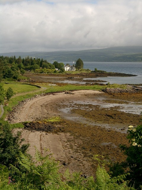
Creag a' Ghrùdaire is a prominent coastal feature located in Argyllshire, Scotland. This headland, also known as a point, is positioned on the western shore of the region, overlooking the vast waters of the North Atlantic Ocean. The name "Creag a' Ghrùdaire" translates to "the rock of the shoemaker" in English, hinting at its historical significance.
Rising majestically from the surrounding landscape, Creag a' Ghrùdaire boasts a rugged and imposing appearance. Its sheer cliffs, reaching heights of approximately 100 meters, provide a breathtaking vista of the surrounding seascape. The headland is characterized by its unique rock formations, which have been shaped by the relentless pounding of the waves over centuries.
Visitors to Creag a' Ghrùdaire can expect to be greeted by stunning panoramic views of the ocean, with the Isle of Jura visible on the horizon. The dramatic coastal scenery is further enhanced by the presence of diverse wildlife, including seabirds such as puffins and gannets, which nest on the cliffs.
Creag a' Ghrùdaire is a popular destination for outdoor enthusiasts and nature lovers alike. The headland offers various opportunities for hiking and exploring, with several well-marked trails leading around the point and along the coastline. These paths allow visitors to experience the raw beauty of the Scottish countryside while providing ample opportunities for photography and birdwatching.
Overall, Creag a' Ghrùdaire is a captivating coastal feature in Argyllshire, offering visitors an unforgettable experience of Scotland's rugged and picturesque coastline.
If you have any feedback on the listing, please let us know in the comments section below.
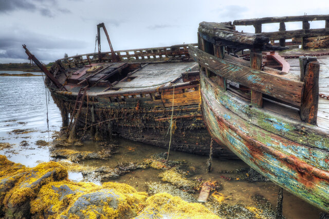
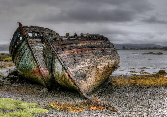
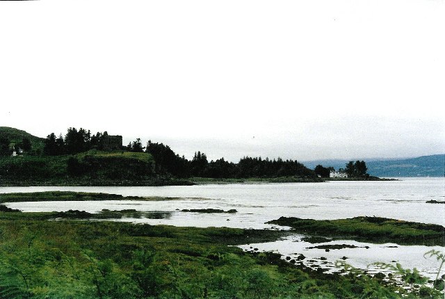
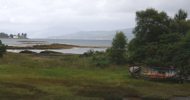
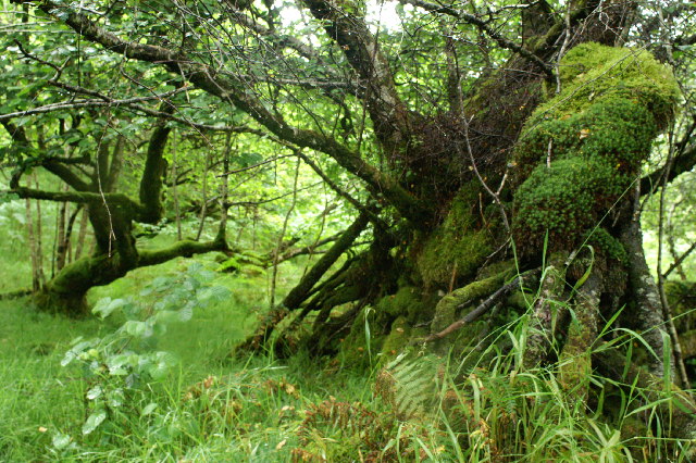
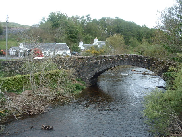
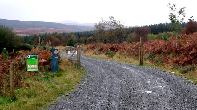
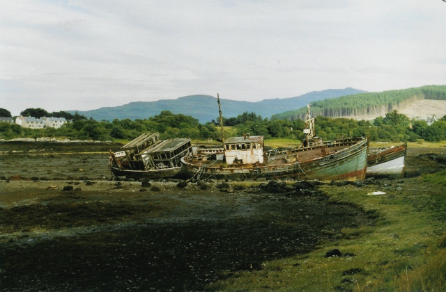
Creag a' Ghrùdaire Images
Images are sourced within 2km of 56.527842/-5.961637 or Grid Reference NM5644. Thanks to Geograph Open Source API. All images are credited.
Creag a' Ghrùdaire is located at Grid Ref: NM5644 (Lat: 56.527842, Lng: -5.961637)
Unitary Authority: Argyll and Bute
Police Authority: Argyll and West Dunbartonshire
What 3 Words
///meanders.smaller.crumb. Near Salen, Argyll & Bute
Nearby Locations
Related Wikis

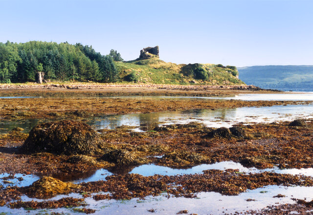
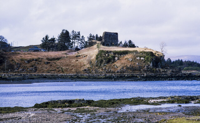
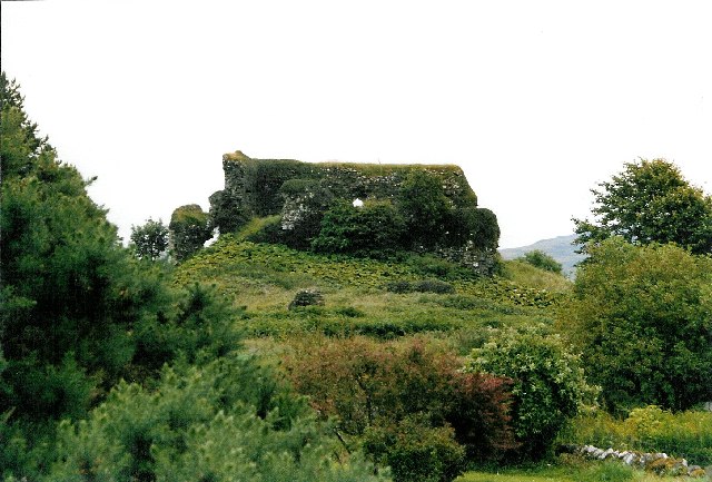
Aros Castle
Aros Castle, also known as Dounarwyse Castle, is a ruined 13th-century castle near Salen on the Isle of Mull, Scotland. The castle overlooks the Sound...

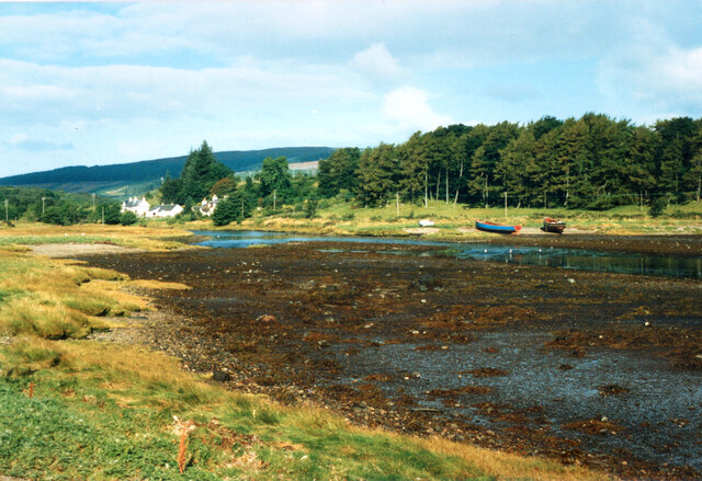
Salen, Mull
Salen (Scottish Gaelic: An t-Sàilean) is a settlement on the Isle of Mull, Scotland. It is on the east coast of the island, on the Sound of Mull, approximately...

Great Mull Air Mystery
The Great Mull Air Mystery is the name given by the media to the disappearance of pilot Peter Gibbs on 24 December 1975 after he took an unscheduled solo...
SS Rondo
SS Rondo was a steam cargo ship. She was built by Tampa Shipbuilding & Drydock Company of Florida for the British government under the name War Wonder...
Nearby Amenities
Located within 500m of 56.527842,-5.961637Have you been to Creag a' Ghrùdaire?
Leave your review of Creag a' Ghrùdaire below (or comments, questions and feedback).