Creag a' Chrochadair
Coastal Feature, Headland, Point in Argyllshire
Scotland
Creag a' Chrochadair
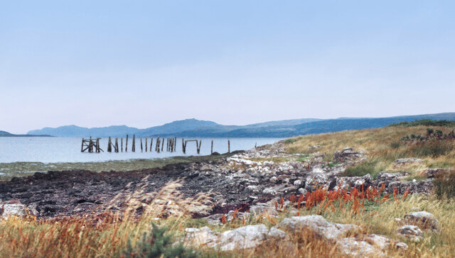
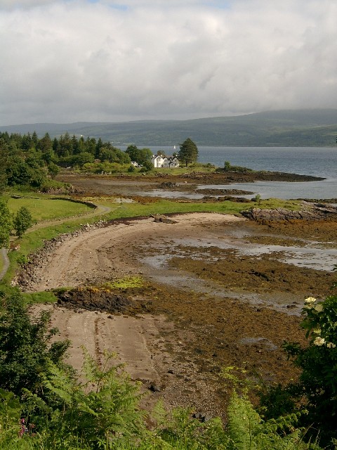
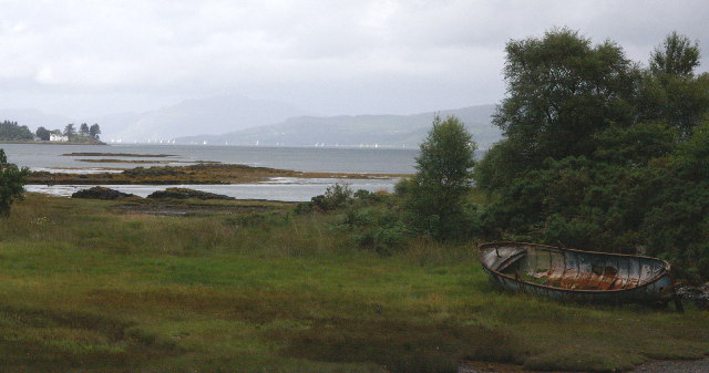
Creag a' Chrochadair is a prominent coastal feature located in Argyllshire, Scotland. It is specifically classified as a headland or point, jutting out into the sea and offering stunning views of the surrounding landscape.
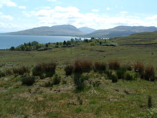
Situated along the rugged west coast of Scotland, Creag a' Chrochadair stands tall, with its rocky cliffs reaching heights of approximately 200 meters. The headland is composed of ancient volcanic rocks, creating a unique and dramatic geological formation that attracts visitors from all over the world.
The coastal feature is known for its breathtaking vistas, offering panoramic views of the surrounding sea and nearby islands. On clear days, one can see as far as the Isle of Mull and even catch a glimpse of the Isle of Skye in the distance.
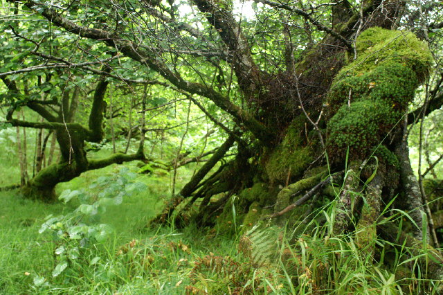
Creag a' Chrochadair is also home to a diverse range of flora and fauna. The headland's rough and exposed terrain provides a habitat for various seabirds, including puffins, gannets, and guillemots. The surrounding waters attract seals, dolphins, and occasionally, whales, making it a popular spot for wildlife enthusiasts.
Visitors to Creag a' Chrochadair can enjoy coastal walks along the rugged cliffs, taking in the fresh sea air and immersing themselves in the stunning natural beauty. The headland is also a popular spot for rock climbing, providing a thrilling challenge for outdoor enthusiasts.
Overall, Creag a' Chrochadair is a magnificent coastal feature that showcases the rugged beauty of Scotland's west coast. Its towering cliffs, panoramic views, and diverse wildlife make it a must-visit destination for nature lovers and adventure seekers alike.
If you have any feedback on the listing, please let us know in the comments section below.
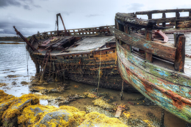
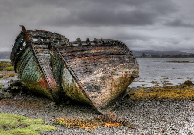
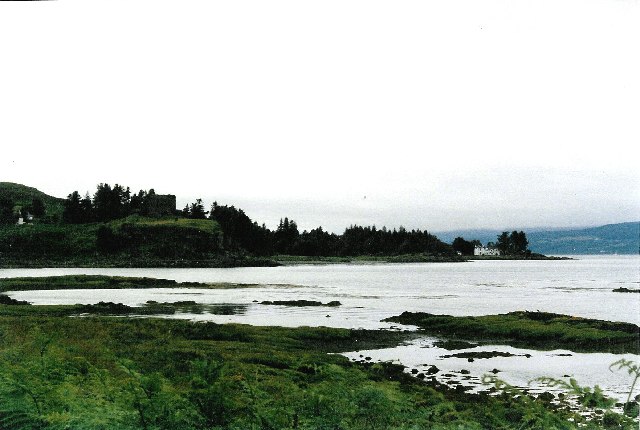
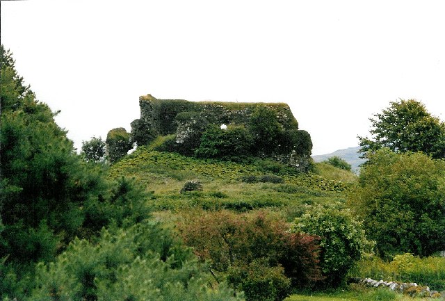
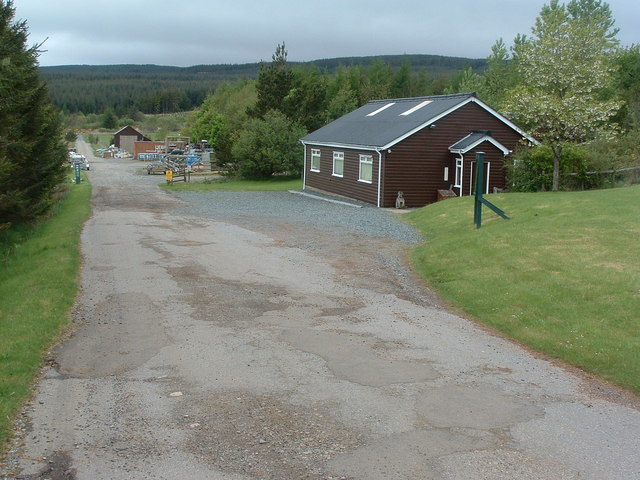
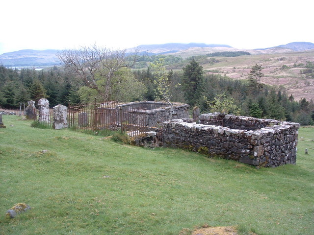
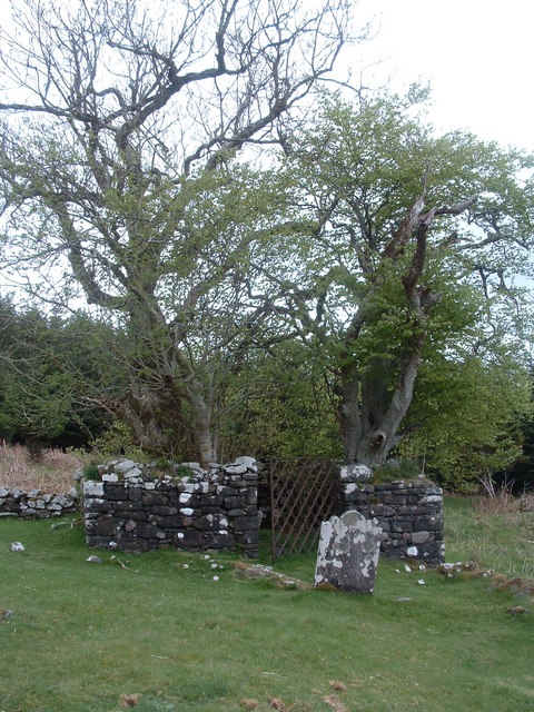
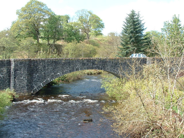
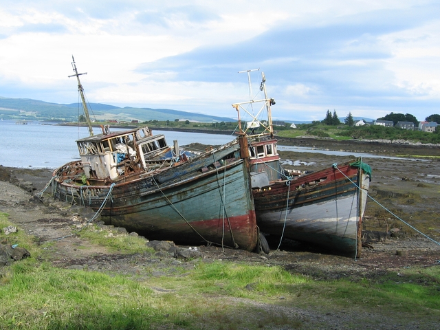
Creag a' Chrochadair Images
Images are sourced within 2km of 56.533351/-5.9645401 or Grid Reference NM5644. Thanks to Geograph Open Source API. All images are credited.
Creag a' Chrochadair is located at Grid Ref: NM5644 (Lat: 56.533351, Lng: -5.9645401)
Unitary Authority: Argyll and Bute
Police Authority: Argyll and West Dunbartonshire
What 3 Words
///trudges.built.troll. Near Salen, Argyll & Bute
Nearby Locations
Related Wikis

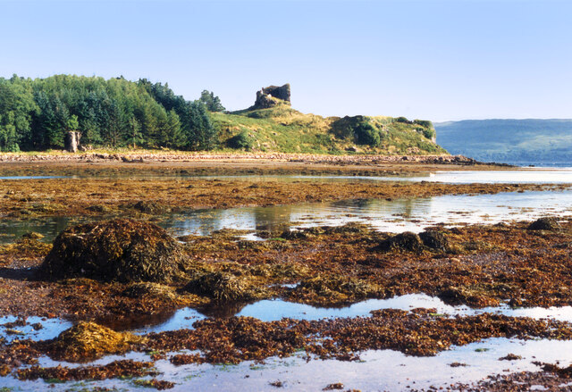
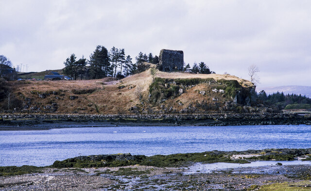
Aros Castle
Aros Castle, also known as Dounarwyse Castle, is a ruined 13th-century castle near Salen on the Isle of Mull, Scotland. The castle overlooks the Sound...

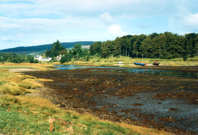
Salen, Mull
Salen (Scottish Gaelic: An t-Sàilean) is a settlement on the Isle of Mull, Scotland. It is on the east coast of the island, on the Sound of Mull, approximately...
SS Rondo
SS Rondo was a steam cargo ship. She was built by Tampa Shipbuilding & Drydock Company of Florida for the British government under the name War Wonder...

Great Mull Air Mystery
The Great Mull Air Mystery is the name given by the media to the disappearance of pilot Peter Gibbs on 24 December 1975 after he took an unscheduled solo...
Related Videos

The Morven Loop
Another blast from the past as I recall years gone by ..long before Covid 19 Lockdowns. I always enjoyed going trips with my ...

Oban Adventures | Episode 1 - Salen Bay, Isle of Mull | Scotland
Oban is one of the most popular places to visit in Scotland. It is favourite among travellers as well as tourists especially during ...

Clan MacDougall Castle On History Visit Near Salen On The Isle Of Mull Scotland
Tour Scotland short travel video clip, with Scottish music, of Aros Castle on ancestry, genealogy, history visit near Salen on the Isle ...
Nearby Amenities
Located within 500m of 56.533351,-5.9645401Have you been to Creag a' Chrochadair?
Leave your review of Creag a' Chrochadair below (or comments, questions and feedback).