Sgiath Ruadh
Island in Argyllshire
Scotland
Sgiath Ruadh
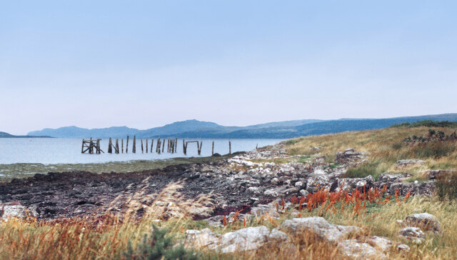
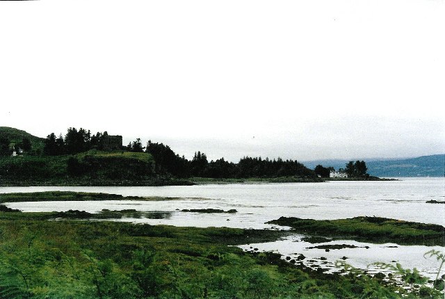
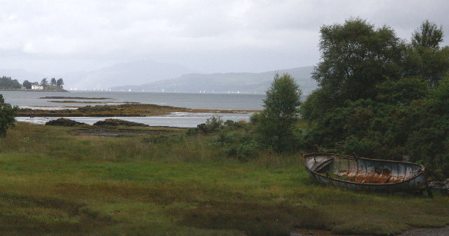
Sgiath Ruadh is a small island located off the west coast of Scotland in Argyllshire. It is situated in the Inner Hebrides, specifically in the Sound of Mull. The island covers an area of approximately 1 square kilometer and is characterized by rugged and hilly terrain.
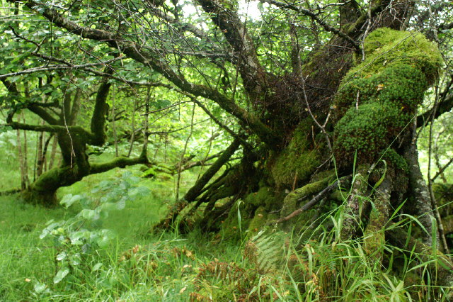
The name Sgiath Ruadh translates to "red shield" in Scottish Gaelic, which is believed to be derived from the reddish hue of the rocks that can be found on the island. The landscape is defined by steep cliffs and rocky shores, providing a stunning backdrop for visitors.
The island is uninhabited, with no permanent residents or infrastructure. It is mainly visited by nature enthusiasts, hikers, and birdwatchers who come to explore its unspoiled wilderness. Sgiath Ruadh is known for its rich biodiversity and is home to various bird species, including puffins, guillemots, and razorbills.
Access to the island is limited, as there are no ferry services or regular transportation available. However, it can be reached by private boat or chartered tours, which offer visitors the opportunity to experience the island's natural beauty up close.
In summary, Sgiath Ruadh is a remote and picturesque island in Argyllshire, Scotland. With its rugged landscape and diverse wildlife, it provides a unique and tranquil escape for those seeking a wilderness adventure.
If you have any feedback on the listing, please let us know in the comments section below.
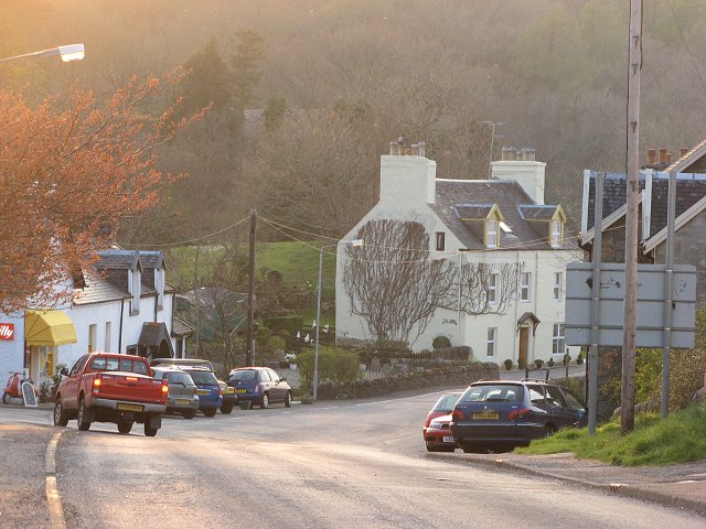
Sgiath Ruadh Images
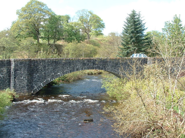
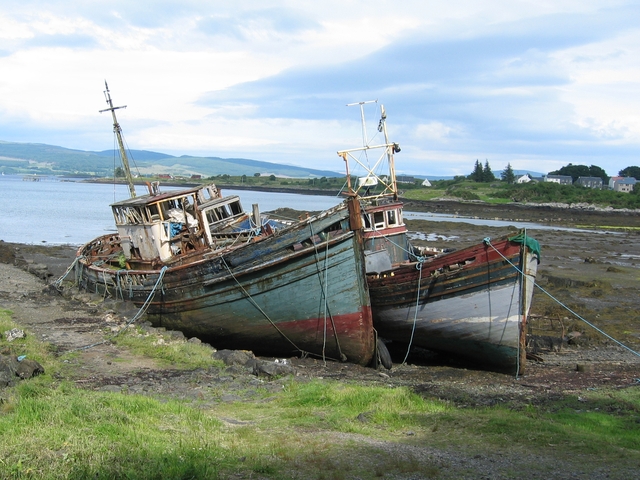
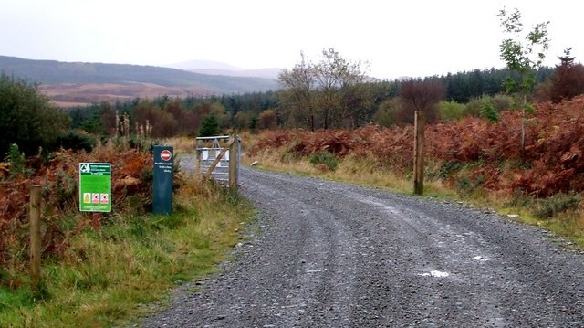
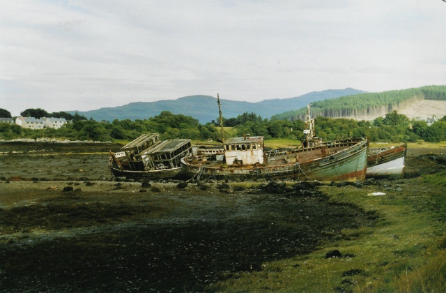
Images are sourced within 2km of 56.530079/-5.9617081 or Grid Reference NM5644. Thanks to Geograph Open Source API. All images are credited.

Sgiath Ruadh is located at Grid Ref: NM5644 (Lat: 56.530079, Lng: -5.9617081)
Unitary Authority: Argyll and Bute
Police Authority: Argyll and West Dunbartonshire
What 3 Words
///racetrack.exacted.mixed. Near Salen, Argyll & Bute
Nearby Locations
Related Wikis

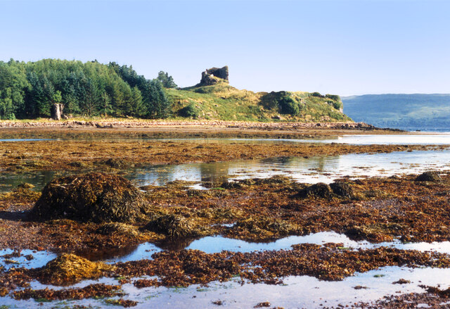
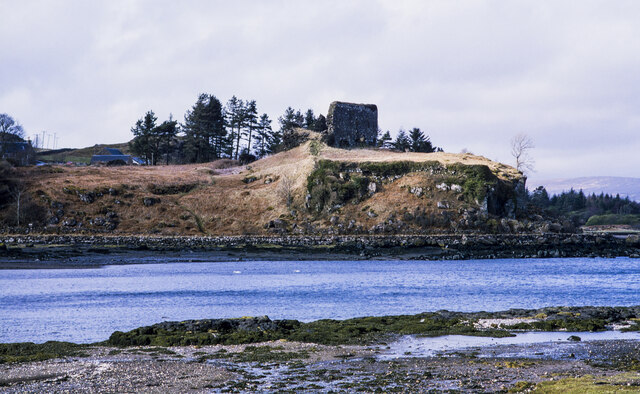
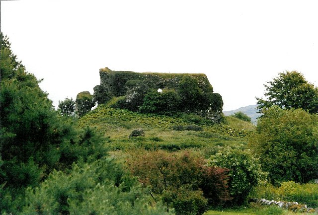
Aros Castle
Aros Castle, also known as Dounarwyse Castle, is a ruined 13th-century castle near Salen on the Isle of Mull, Scotland. The castle overlooks the Sound...

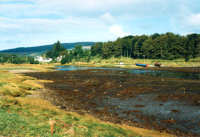
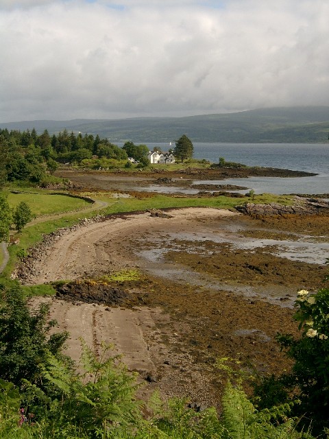
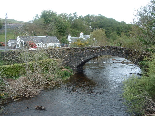
Salen, Mull
Salen (Scottish Gaelic: An t-Sàilean) is a settlement on the Isle of Mull, Scotland. It is on the east coast of the island, on the Sound of Mull, approximately...
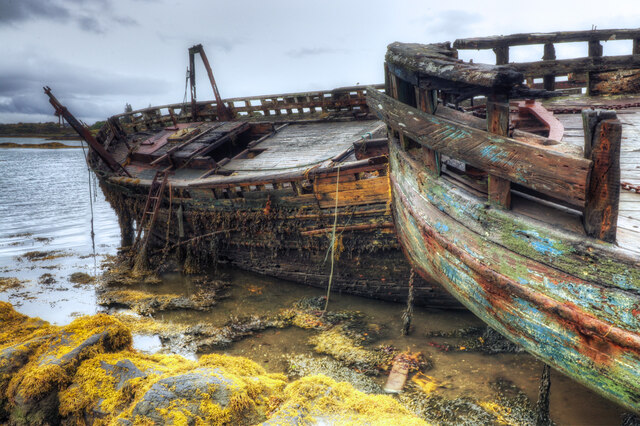
SS Rondo
SS Rondo was a steam cargo ship. She was built by Tampa Shipbuilding & Drydock Company of Florida for the British government under the name War Wonder...

Great Mull Air Mystery
The Great Mull Air Mystery is the name given by the media to the disappearance of pilot Peter Gibbs on 24 December 1975 after he took an unscheduled solo...
Nearby Amenities
Located within 500m of 56.530079,-5.9617081Have you been to Sgiath Ruadh?
Leave your review of Sgiath Ruadh below (or comments, questions and feedback).