Port an Tobire
Bay in Argyllshire
Scotland
Port an Tobire
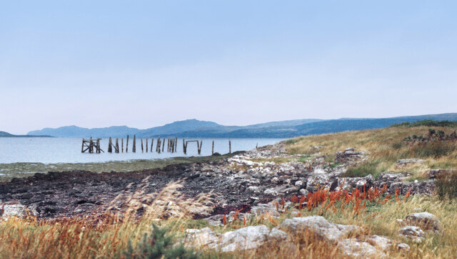
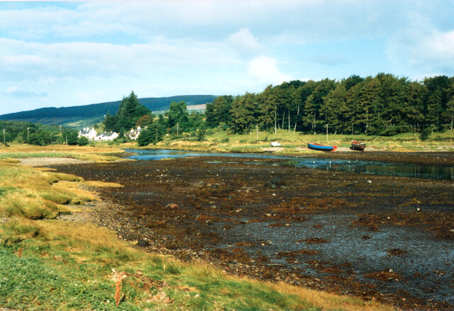
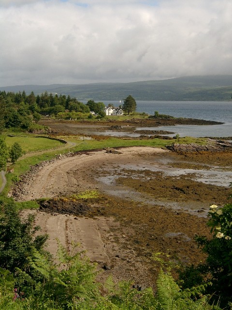
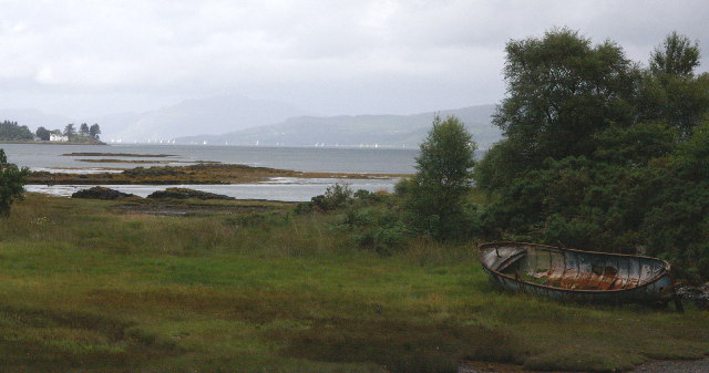
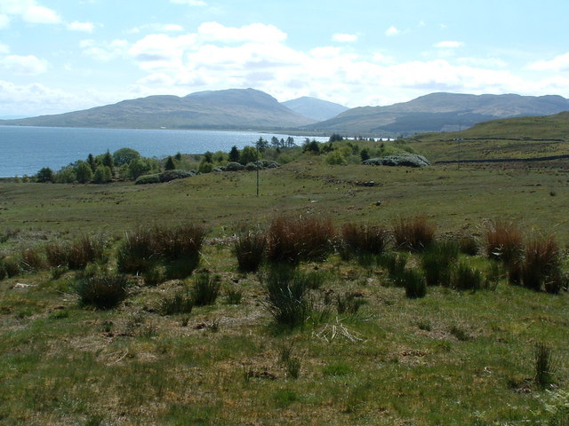
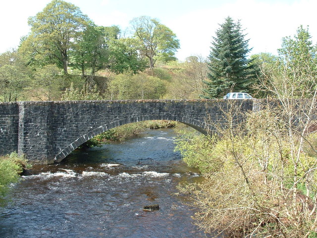
Port an Tobire, also known as Portavadie, is a small bay located in the scenic area of Argyllshire, Scotland. Situated on the eastern shore of Loch Fyne, this tranquil and picturesque bay offers visitors a range of activities and breathtaking views.
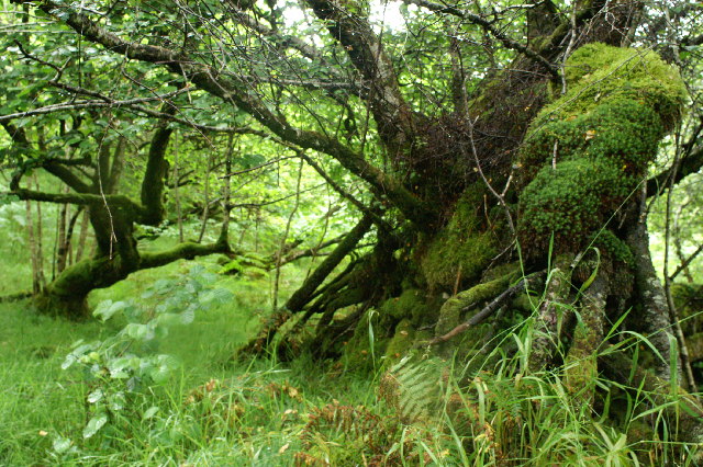
The bay is surrounded by lush green hills and beautiful forests, providing a perfect backdrop for outdoor enthusiasts. The crystal-clear waters of Loch Fyne are ideal for water sports such as kayaking, paddleboarding, and sailing. Fishing is also popular here, with the bay being home to a variety of fish species, including salmon and trout.
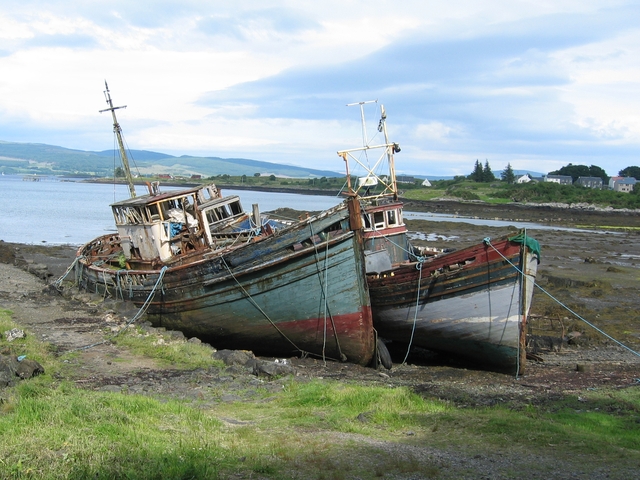
Port an Tobire is known for its marina, which can accommodate a large number of boats and yachts. The marina offers excellent facilities, including fuel stations and a boatyard for repairs and maintenance. Many boat owners use Port an Tobire as a base to explore the stunning coastline and nearby islands.
For those looking to relax, the bay is home to a luxury spa and leisure complex. Visitors can unwind in the spa's thermal suite, which includes saunas, steam rooms, and a hydro pool. There is also a range of beauty and wellness treatments available.
Accommodation options in Port an Tobire include a hotel, self-catering lodges, and a caravan park. The hotel offers comfortable rooms with stunning views of the bay, while the lodges provide a more secluded and private stay. The caravan park offers a budget-friendly option for those traveling with their own accommodation.
Overall, Port an Tobire is a charming bay that offers a range of activities and facilities for visitors to enjoy. Whether you're seeking adventure on the water, relaxation at the spa, or simply a peaceful escape in nature, this beautiful bay has something for everyone.
If you have any feedback on the listing, please let us know in the comments section below.
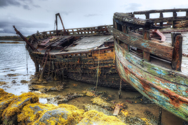
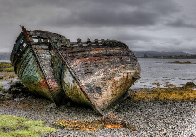
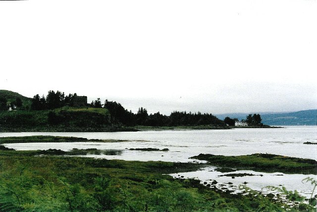
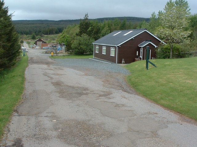
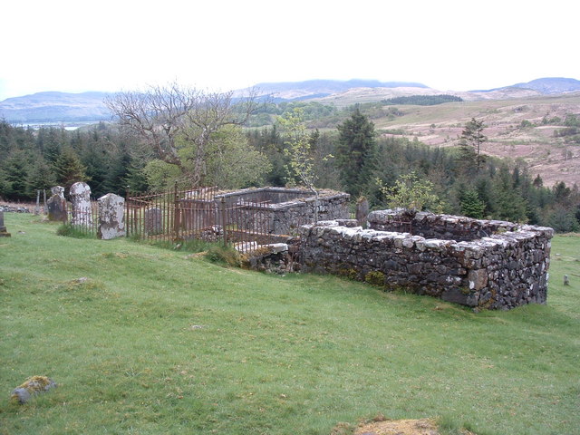
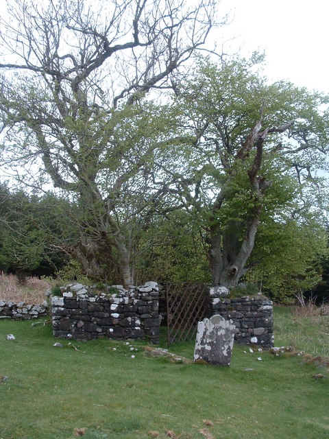
Port an Tobire Images
Images are sourced within 2km of 56.533094/-5.9638785 or Grid Reference NM5644. Thanks to Geograph Open Source API. All images are credited.
Port an Tobire is located at Grid Ref: NM5644 (Lat: 56.533094, Lng: -5.9638785)
Unitary Authority: Argyll and Bute
Police Authority: Argyll and West Dunbartonshire
What 3 Words
///snoozing.puts.inhales. Near Salen, Argyll & Bute
Nearby Locations
Related Wikis

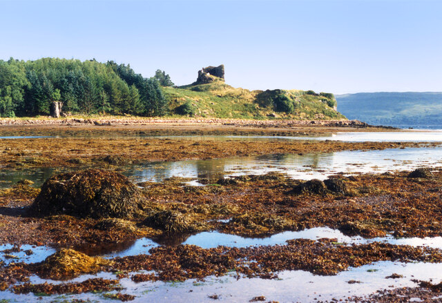
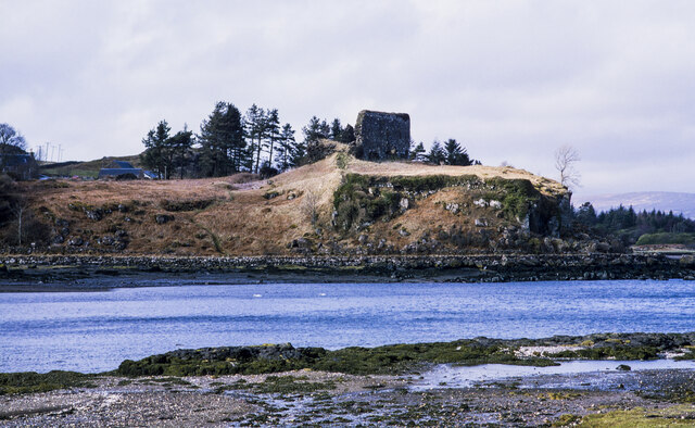
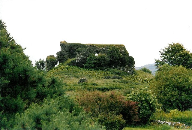
Aros Castle
Aros Castle, also known as Dounarwyse Castle, is a ruined 13th-century castle near Salen on the Isle of Mull, Scotland. The castle overlooks the Sound...

Salen, Mull
Salen (Scottish Gaelic: An t-Sàilean) is a settlement on the Isle of Mull, Scotland. It is on the east coast of the island, on the Sound of Mull, approximately...
SS Rondo
SS Rondo was a steam cargo ship. She was built by Tampa Shipbuilding & Drydock Company of Florida for the British government under the name War Wonder...

Great Mull Air Mystery
The Great Mull Air Mystery is the name given by the media to the disappearance of pilot Peter Gibbs on 24 December 1975 after he took an unscheduled solo...
Nearby Amenities
Located within 500m of 56.533094,-5.9638785Have you been to Port an Tobire?
Leave your review of Port an Tobire below (or comments, questions and feedback).