Codh' nan Fhraoich
Coastal Feature, Headland, Point in Argyllshire
Scotland
Codh' nan Fhraoich
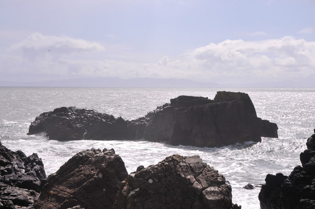
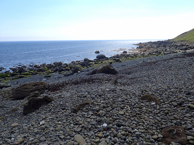
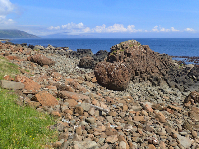
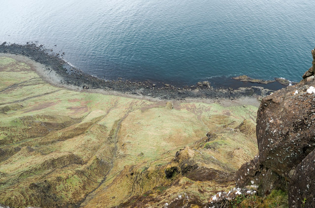
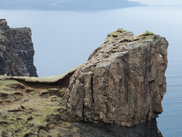
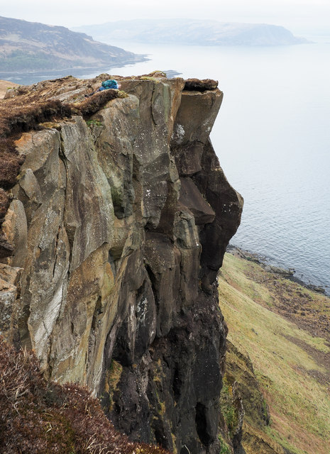
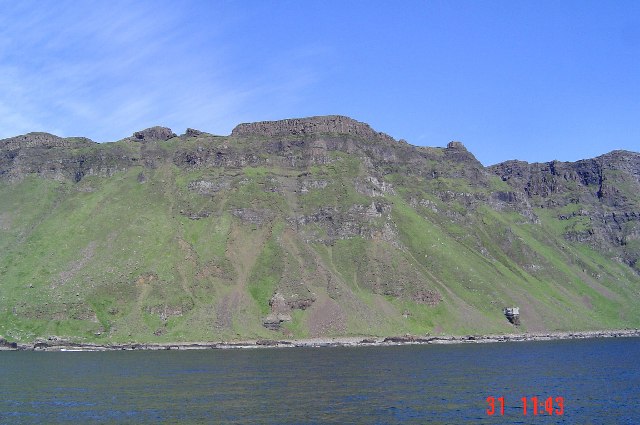
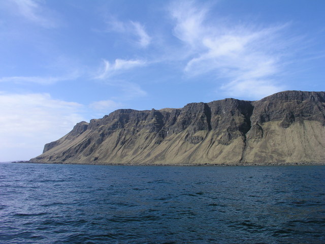
Codh' nan Fhraoich, located in Argyllshire, Scotland, is a prominent coastal feature that stands as a majestic headland jutting out into the sea. Also known as the Point of the Heather, this rugged and picturesque landscape offers breathtaking views and is a popular destination for nature enthusiasts and hikers.
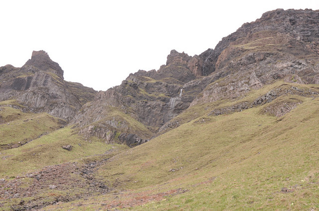
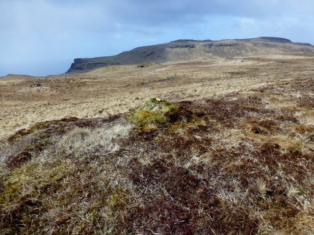
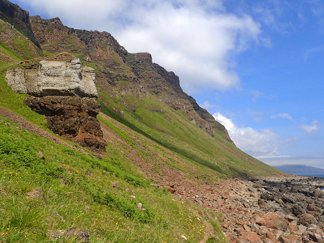
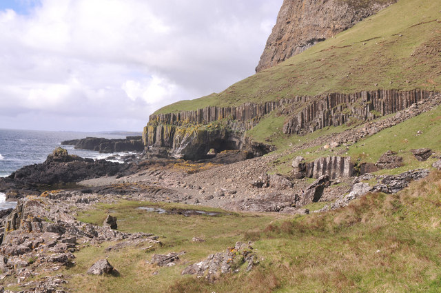
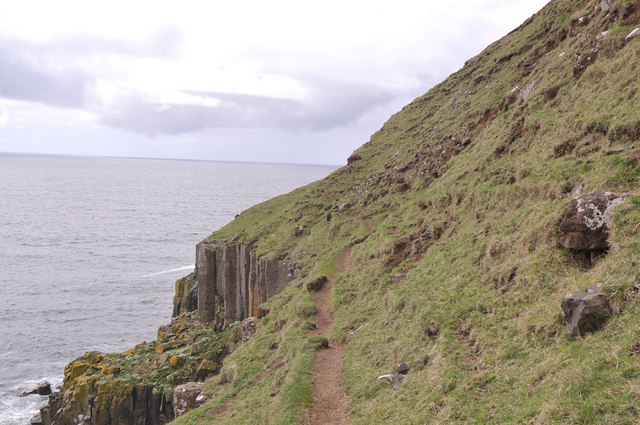
Situated on the western coast of Scotland, Codh' nan Fhraoich is surrounded by the vast Atlantic Ocean, which adds to its allure. The headland is characterized by its rocky cliffs, lush greenery, and heather-covered slopes, giving it a unique and dramatic appearance. The name "Codh' nan Fhraoich" is derived from the Gaelic language, with "Codh'" meaning point and "Fhraoich" referring to the heather.
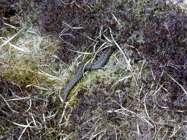
The headland is home to a diverse range of flora and fauna, with various species of sea birds nesting along the cliffs, including gannets, fulmars, and puffins. The surrounding waters are also abundant with marine life, such as seals, dolphins, and porpoises, which can often be spotted from the shoreline.
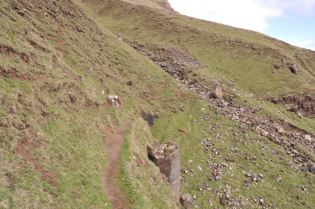
For outdoor enthusiasts, Codh' nan Fhraoich offers an array of activities. Hiking trails wind their way along the headland, providing visitors with stunning panoramic views of the sea and the surrounding countryside. The cliffs also attract rock climbers looking for a challenging ascent.
Overall, Codh' nan Fhraoich is a captivating coastal feature that showcases the natural beauty of Argyllshire. Its rugged cliffs, vibrant heather, and diverse wildlife make it a must-visit destination for those seeking a true Scottish coastal experience.
If you have any feedback on the listing, please let us know in the comments section below.
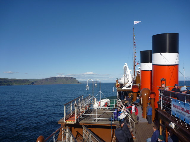
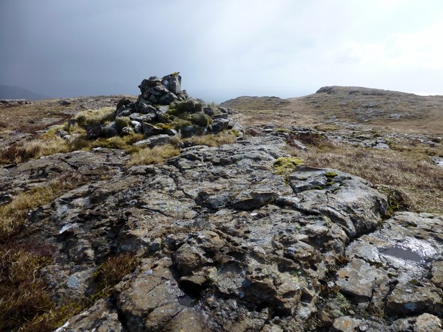
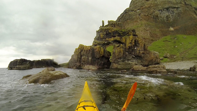
Codh' nan Fhraoich Images
Images are sourced within 2km of 56.295782/-6.0502143 or Grid Reference NM4918. Thanks to Geograph Open Source API. All images are credited.
Codh' nan Fhraoich is located at Grid Ref: NM4918 (Lat: 56.295782, Lng: -6.0502143)
Unitary Authority: Argyll and Bute
Police Authority: Argyll and West Dunbartonshire
What 3 Words
///fuses.purple.shaky. Near Lochbuie, Argyll & Bute
Nearby Locations
Related Wikis
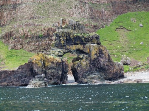
Carsaig Arches
Carsaig Arches are natural arch cliff formations on the Ross of Mull in the south of the Isle of Mull, on the west coast of Scotland. They are situated...

Carsaig Bay
Carsaig Bay is a cove on the Ross of Mull in the south of the Isle of Mull, off the west coast of Scotland. It is situated 5 kilometres (3 miles) eastward...

Shiaba
Shiaba (Scottish Gaelic: Siaba) is a ruined township located on the southwestern peninsula of the Isle of Mull, Scotland. It lies about 8 km to the east...

Pennyghael
Pennyghael (Scottish Gaelic: Peighinn nan Gàidheal) is a small village in the Ross of Mull, Argyll and Bute, Scotland. It is located along the A849 road...
Nearby Amenities
Located within 500m of 56.295782,-6.0502143Have you been to Codh' nan Fhraoich?
Leave your review of Codh' nan Fhraoich below (or comments, questions and feedback).