Leac nan Leum
Island in Argyllshire
Scotland
Leac nan Leum
Leac nan Leum is a small island located in Argyllshire, Scotland. Situated in the Inner Hebrides, it is one of the many islands that dot the picturesque coastline of this region. The island covers a total area of approximately 32 hectares (79 acres).
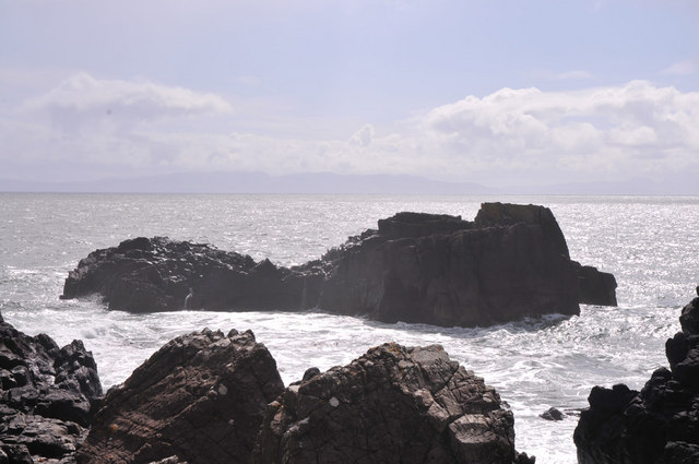
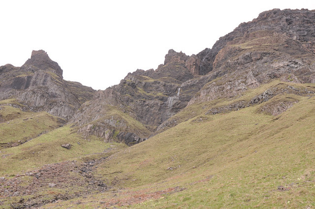
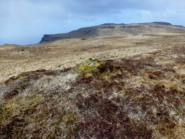
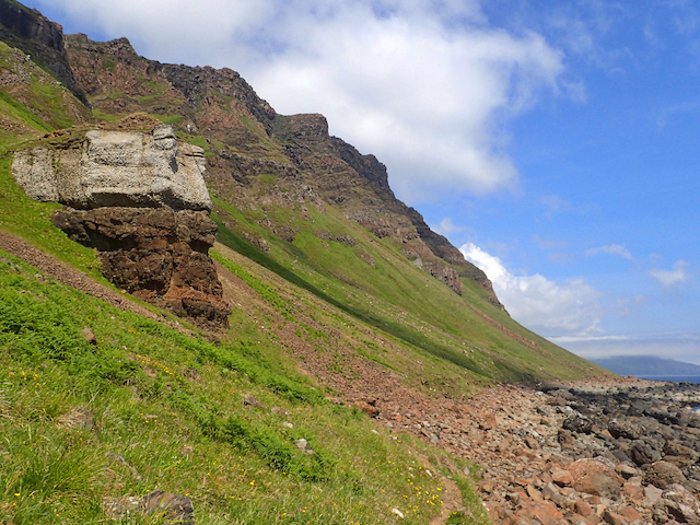
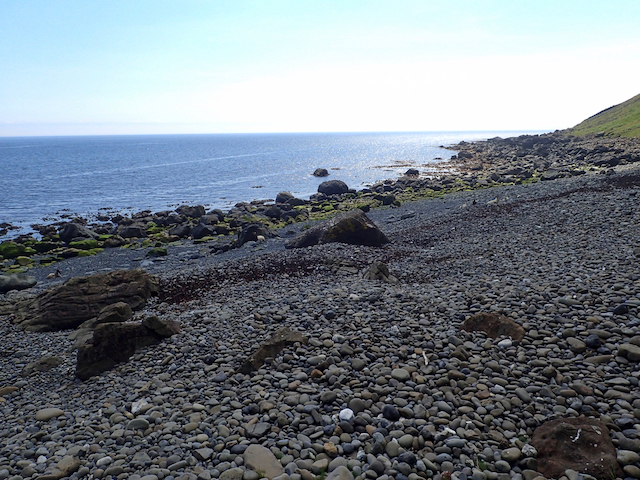
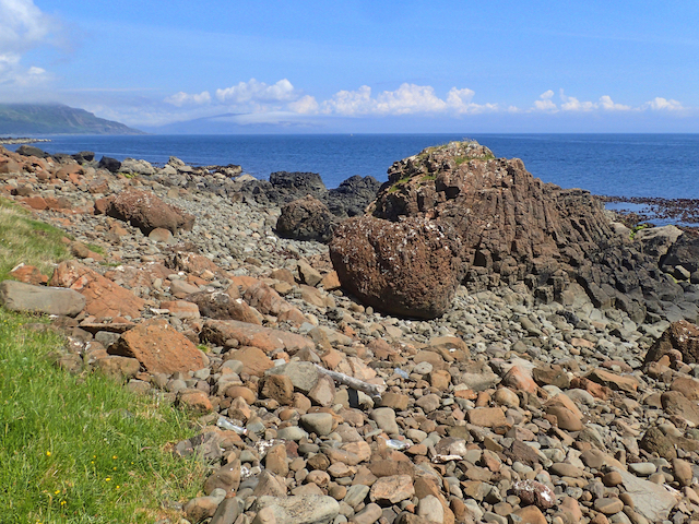
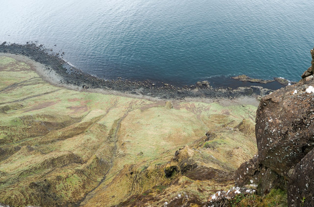
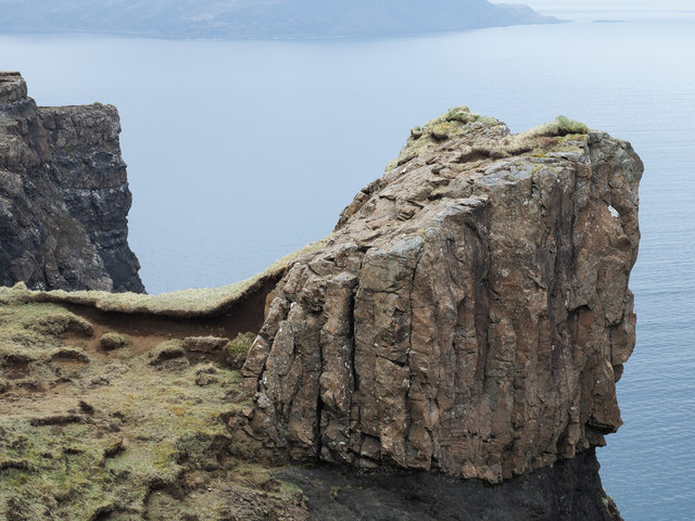
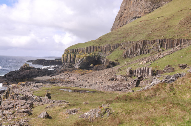
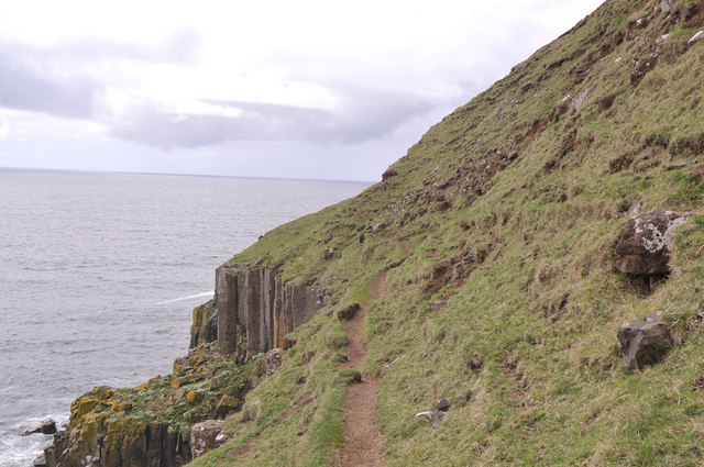
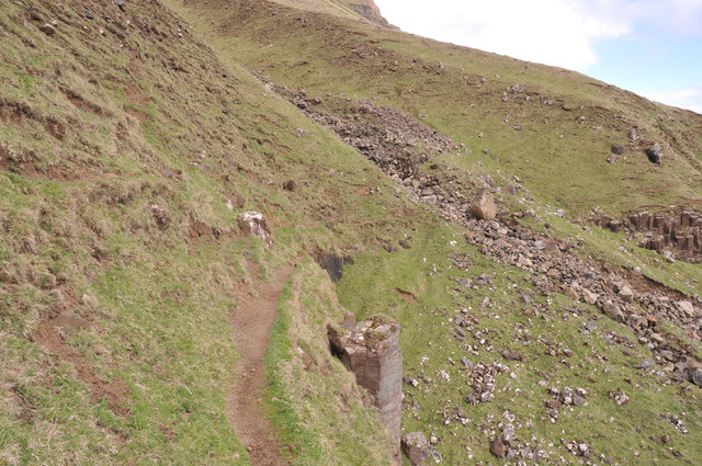
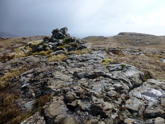
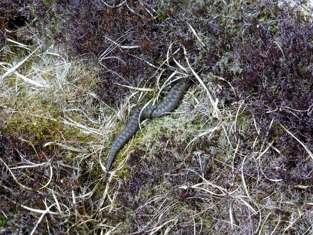
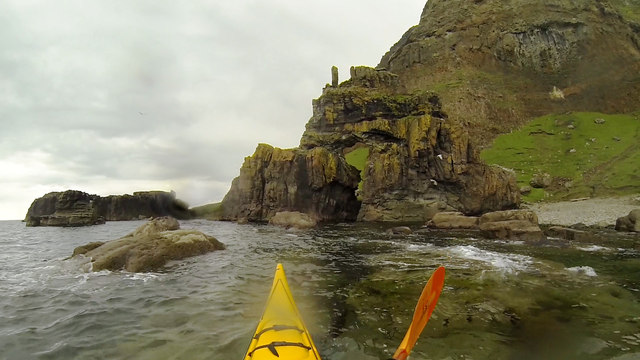
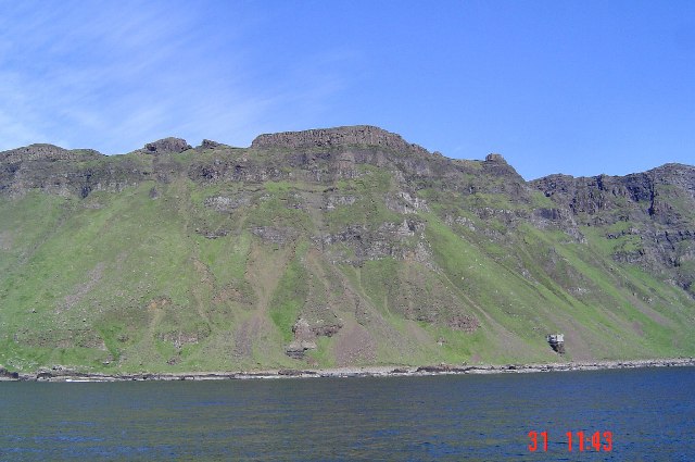
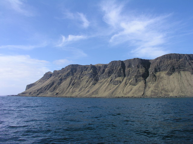
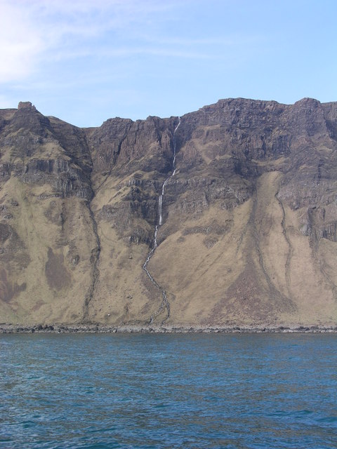
Leac nan Leum is known for its rugged and dramatic landscape, characterized by rolling hills and cliffs that offer breathtaking views of the surrounding sea and neighboring islands. The island is abundant in wildlife, and visitors often spot various species of birds, including puffins, eagles, and guillemots. The surrounding waters are home to seals and porpoises, making it a popular destination for wildlife enthusiasts and nature lovers.
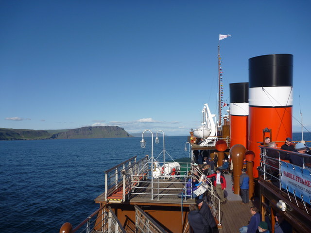
Access to Leac nan Leum is primarily by boat, with regular ferry services available from the mainland. There are no permanent residents on the island, and it is largely uninhabited. However, during the summer months, it attracts a small number of tourists who come to explore its natural beauty and enjoy outdoor activities such as hiking and bird watching.
Leac nan Leum offers a peaceful and serene environment, making it an ideal retreat for those seeking solitude and tranquility. The island's untouched and unspoiled nature provides a unique opportunity to disconnect from the modern world and immerse oneself in the beauty of the Scottish wilderness.
In summary, Leac nan Leum is a remote and pristine island in Argyllshire, Scotland, offering stunning natural landscapes and abundant wildlife. It is a hidden gem for nature enthusiasts and provides a peaceful escape from the hustle and bustle of everyday life.
If you have any feedback on the listing, please let us know in the comments section below.
Leac nan Leum Images
Images are sourced within 2km of 56.292375/-6.0556589 or Grid Reference NM4918. Thanks to Geograph Open Source API. All images are credited.
Leac nan Leum is located at Grid Ref: NM4918 (Lat: 56.292375, Lng: -6.0556589)
Unitary Authority: Argyll and Bute
Police Authority: Argyll and West Dunbartonshire
What 3 Words
///bleak.cheek.genius. Near Lochbuie, Argyll & Bute
Nearby Locations
Related Wikis
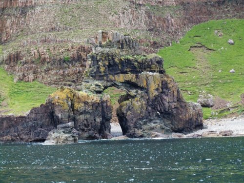
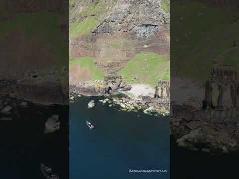
Carsaig Arches
Carsaig Arches are natural arch cliff formations on the Ross of Mull in the south of the Isle of Mull, on the west coast of Scotland. They are situated...

Shiaba
Shiaba (Scottish Gaelic: Siaba) is a ruined township located on the southwestern peninsula of the Isle of Mull, Scotland. It lies about 8 km to the east...

Carsaig Bay
Carsaig Bay is a cove on the Ross of Mull in the south of the Isle of Mull, off the west coast of Scotland. It is situated 5 kilometres (3 miles) eastward...

Pennyghael
Pennyghael (Scottish Gaelic: Peighinn nan Gàidheal) is a small village in the Ross of Mull, Argyll and Bute, Scotland. It is located along the A849 road...
Related Videos

Carsaig arches 4k drone DJI Mavic air windy. Isle of mull
Carsaig arches 4k drone DJI Mavic air. Windy. Isle of mull.
Nearby Amenities
Located within 500m of 56.292375,-6.0556589Have you been to Leac nan Leum?
Leave your review of Leac nan Leum below (or comments, questions and feedback).