Rubhachan Ghriogair
Coastal Feature, Headland, Point in Argyllshire
Scotland
Rubhachan Ghriogair

The requested URL returned error: 429 Too Many Requests
If you have any feedback on the listing, please let us know in the comments section below.
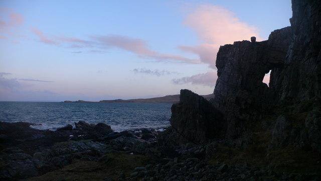
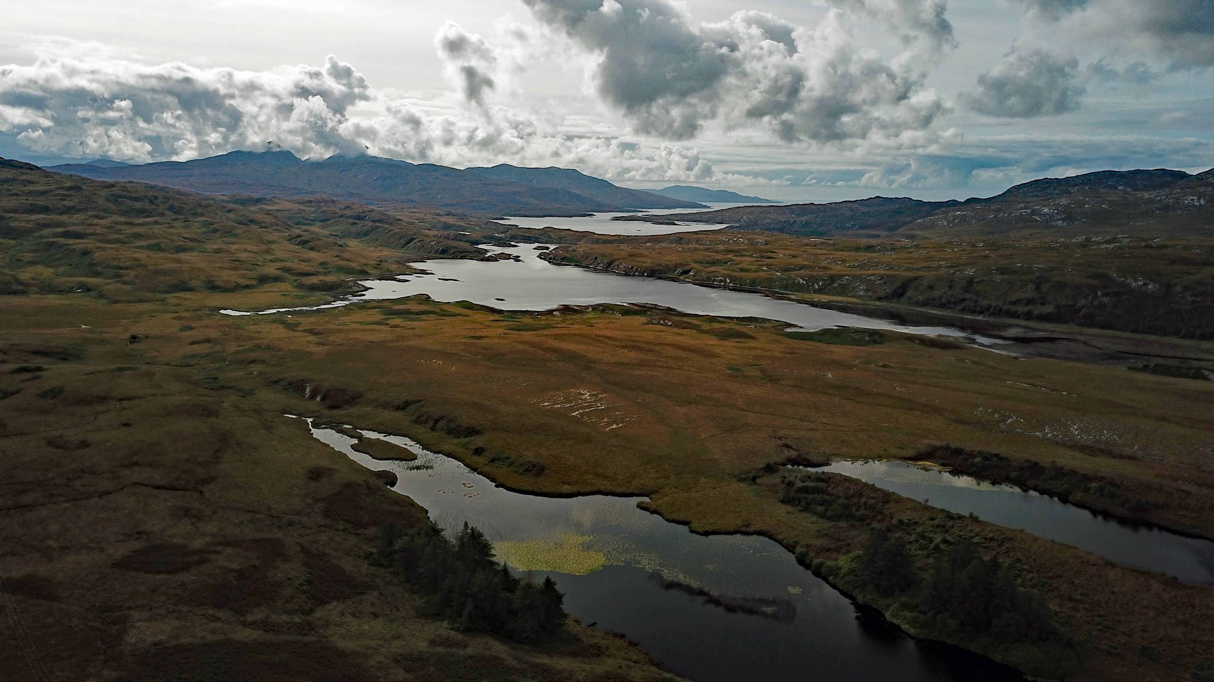
Rubhachan Ghriogair Images
Images are sourced within 2km of 55.948459/-6.0135517 or Grid Reference NR4980. Thanks to Geograph Open Source API. All images are credited.


Rubhachan Ghriogair is located at Grid Ref: NR4980 (Lat: 55.948459, Lng: -6.0135517)
Unitary Authority: Argyll and Bute
Police Authority: Argyll and West Dunbartonshire
What 3 Words
///recent.hardens.roadshow. Near Craighouse, Argyll & Bute
Nearby Locations
Related Wikis
Loch Tarbert, Jura
Loch Tarbert is a sea loch on the west coast of Jura, an island in Scotland. As the name Tarbert suggests, it comes close to cutting the island in half...

Beinn an Òir
Beinn an Òir (Gaelic for "mountain of gold") is the highest peak of the Paps of Jura on the island of Jura, Scotland. It is the highest peak on the island...

Beinn Shiantaidh
Beinn Shiantaidh (Scottish Gaelic for 'holy mountain') is the second highest peak of the Paps of Jura on the island of Jura, Scotland. It stands at 757...

Beinn a' Chaolais
Beinn a' Chaolais (Gaelic: mountain of the sound or strait) is the lowest peak of the Paps of Jura on the island of Jura, Scotland.It stands at 733 metres...
Nearby Amenities
Located within 500m of 55.948459,-6.0135517Have you been to Rubhachan Ghriogair?
Leave your review of Rubhachan Ghriogair below (or comments, questions and feedback).