An Inbhir
Coastal Feature, Headland, Point in Argyllshire
Scotland
An Inbhir
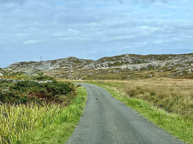
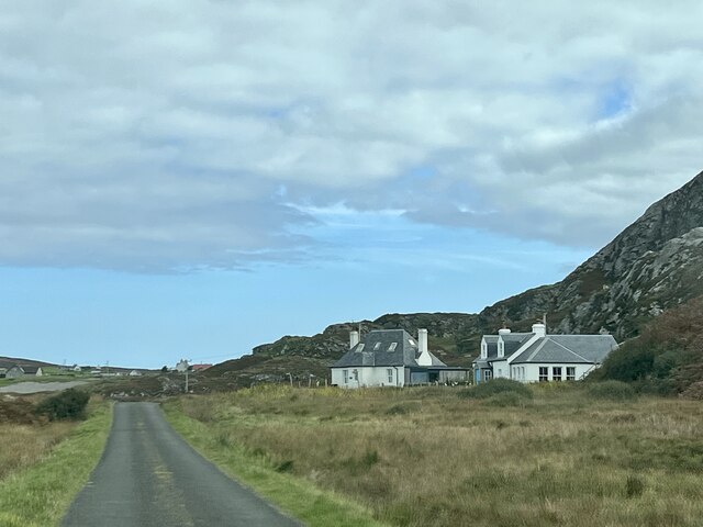
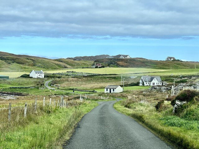
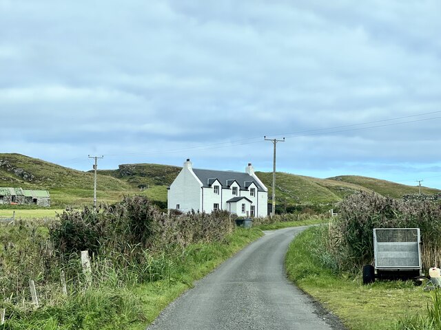
An Inbhir, also known as Inver, is a coastal feature located in Argyllshire, Scotland. It is a headland or point that juts out into the sea, providing a stunning and picturesque view of the surrounding landscape. The name "Inbhir" means "mouth of a river" in Scottish Gaelic, indicating its close proximity to a river that flows into the sea.
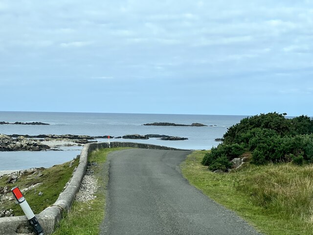
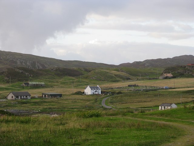
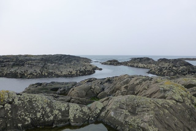
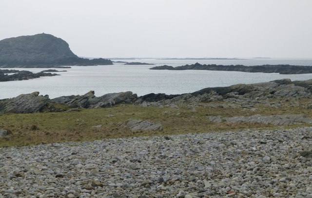
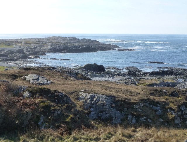
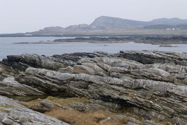
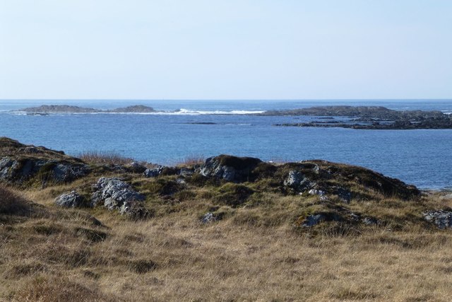
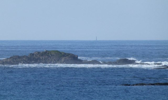
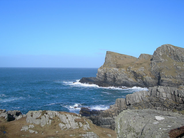
The headland of An Inbhir is characterized by its rugged and rocky terrain, with cliffs that drop dramatically into the ocean below. The coastline is dotted with caves and coves, adding to its charm and appeal. The area is also rich in marine and bird life, making it a popular spot for nature enthusiasts and birdwatchers.
The headland offers breathtaking panoramic views of the sea, with the Isle of Mull visible in the distance. The constantly changing tides and the crashing waves against the rocks create a mesmerizing and soothing atmosphere.
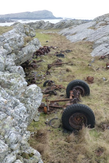
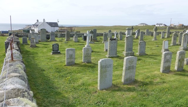
An Inbhir is also of historical significance, with remnants of ancient forts and settlements scattered along the headland. These archaeological sites provide insights into the area's rich history and the lives of its past inhabitants.
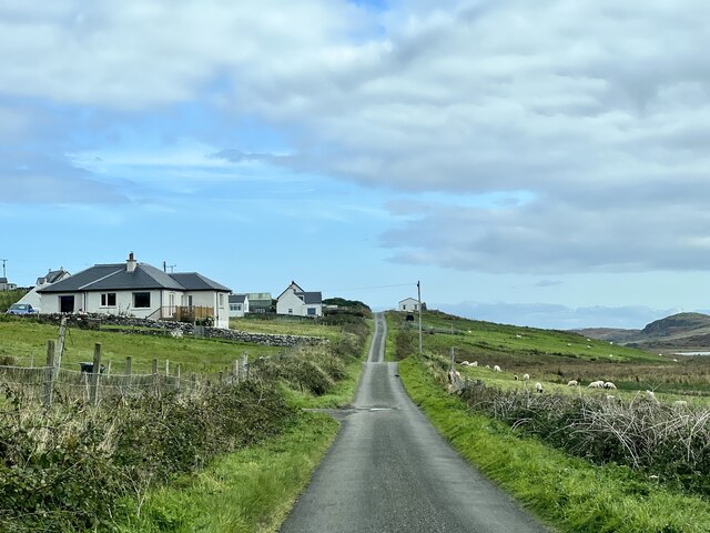
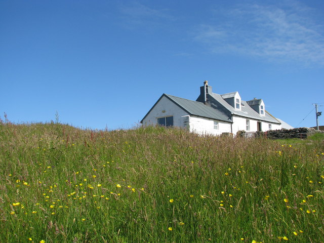
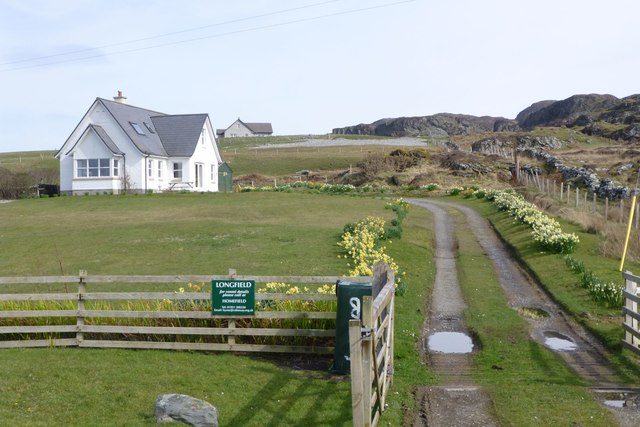
The headland is easily accessible by road and is a favored destination for tourists and locals alike. Visitors can enjoy walking along the coastline, exploring the caves, or simply taking in the beauty of the landscape. An Inbhir is a true gem of Argyllshire, offering a unique blend of natural beauty, historical significance, and tranquility.
If you have any feedback on the listing, please let us know in the comments section below.
An Inbhir Images
Images are sourced within 2km of 56.080149/-6.2473752 or Grid Reference NR3595. Thanks to Geograph Open Source API. All images are credited.
An Inbhir is located at Grid Ref: NR3595 (Lat: 56.080149, Lng: -6.2473752)
Unitary Authority: Argyll and Bute
Police Authority: Argyll and West Dunbartonshire
What 3 Words
///grower.elevated.hindering. Near Scalasaig, Argyll & Bute
Nearby Locations
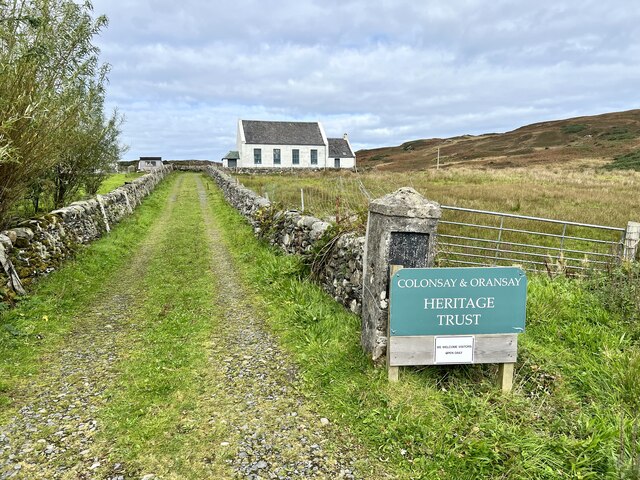
Related Wikis

St Cathan's Chapel
St Cathan's Chapel (Scottish Gaelic: Cill Chatan) is a ruined chapel on the island of Colonsay, Scotland in the Inner Hebrides. It was dedicated to Cathan...

Dùn Meadhonach
Dùn Meadhonach (English: Middle Fort) is a hillfort located on the Inner Hebridean island of Colonsay, Scotland. The site is located at grid reference...
Chapel of St. Mary, Colonsay
The Chapel of St. Mary (Scottish Gaelic: Cill Mhoire), was a chapel dedicated to Saint Mary at Upper Kilchattan located on the Inner Hebridean island of...
Colonsay Group
The Colonsay Group is an estimated 5,000 m thick sequence of mildly metamorphosed Neoproterozoic sedimentary rocks that outcrop on the islands of Colonsay...

Colonsay
Colonsay (; Scottish Gaelic: Colbhasa; Scots: Colonsay) is an island in the Inner Hebrides of Scotland, located north of Islay and south of Mull. The ancestral...
Colonsay Airport
Colonsay Airport (Scottish Gaelic: Port-adhair Colbhasaigh) (IATA: CSA, ICAO: EGEY) is located on the island of Colonsay, Argyll and Bute, Scotland. Located...

Loch Fada (Colonsay)
Loch Fada (English: Long Lake) is a loch located on the Inner Hebridean island of Colonsay, Scotland. It extends between Kiloran and Lower Kilchattan...
Dùn Galláin
Dùn Galláin (English: Fort of the Strangers) is a promontory fort located on the Inner Hebridean island of Colonsay, Scotland. The site is located at grid...
Have you been to An Inbhir?
Leave your review of An Inbhir below (or comments, questions and feedback).