Bogha na Tuaidh
Island in Argyllshire
Scotland
Bogha na Tuaidh
Bogha na Tuaidh, also known as the North Channel, is a strait located in Argyllshire, Scotland. It separates the mainland of Scotland from various islands, including the Inner Hebrides and the Isle of Skye. The strait stretches for approximately 12 miles (19 kilometers) in length and is approximately 20 miles (32 kilometers) wide at its widest point.
Bogha na Tuaidh is an important waterway that connects the Atlantic Ocean to the Scottish mainland. It serves as a vital shipping route for both commercial and leisure vessels. The strait is known for its strong tidal currents, which can reach speeds of up to 8 knots, making it challenging to navigate at times.
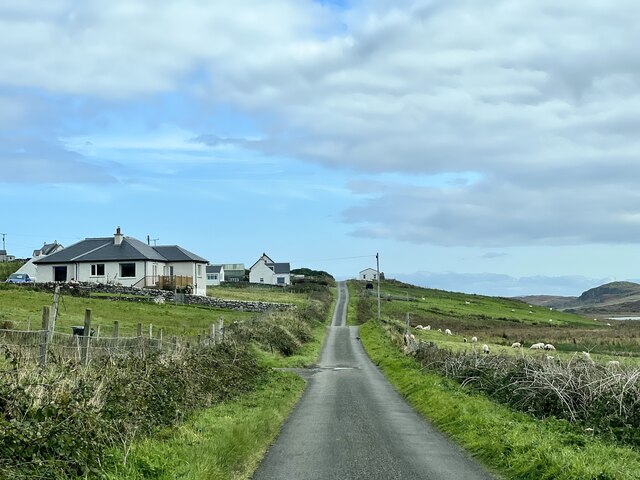
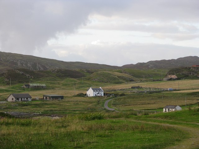
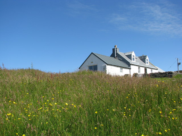
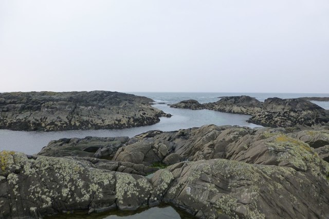
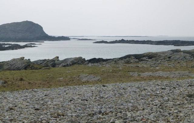
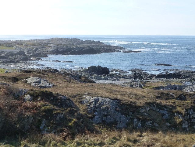
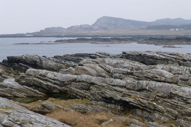
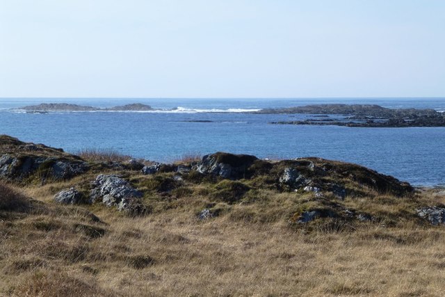
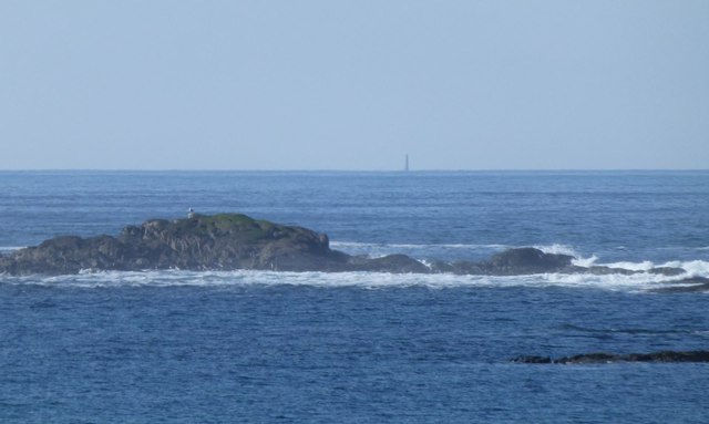
The surrounding area of Bogha na Tuaidh is characterized by stunning natural beauty. The strait is flanked by picturesque landscapes, including rugged coastlines, cliffs, and rolling hills. The islands within the strait offer diverse ecosystems, including rocky shorelines, sandy beaches, and lush green forests.
The North Channel is also renowned for its rich marine life. The waters are home to various species of fish, including cod, haddock, and mackerel, making it a popular destination for fishing enthusiasts. It is also a haven for birdwatchers, as numerous seabirds can be spotted in the area, including gannets, puffins, and guillemots.
Overall, Bogha na Tuaidh is a captivating strait that combines natural beauty, challenging navigation, and abundant wildlife. It is a must-visit destination for those seeking adventure, tranquility, and a deep appreciation for Scotland's coastal treasures.
If you have any feedback on the listing, please let us know in the comments section below.
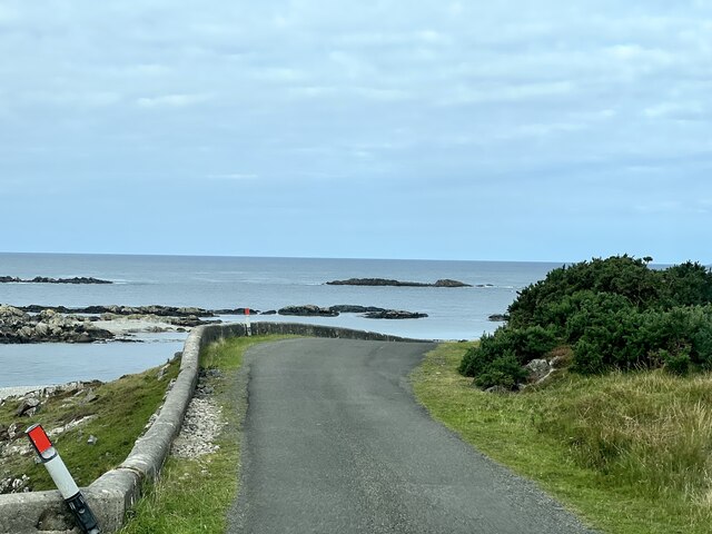
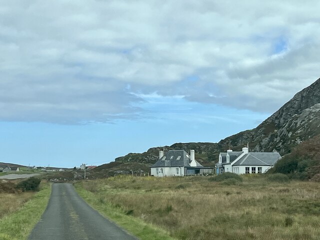
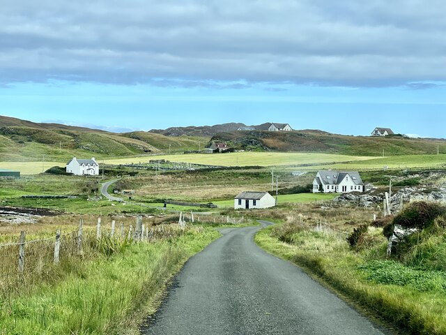
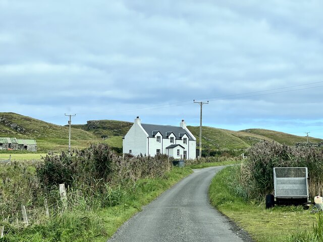
Bogha na Tuaidh Images
Images are sourced within 2km of 56.078848/-6.2590046 or Grid Reference NR3595. Thanks to Geograph Open Source API. All images are credited.


Bogha na Tuaidh is located at Grid Ref: NR3595 (Lat: 56.078848, Lng: -6.2590046)
Unitary Authority: Argyll and Bute
Police Authority: Argyll and West Dunbartonshire
What 3 Words
///commutes.scoop.sleeper. Near Scalasaig, Argyll & Bute
Nearby Locations
Related Wikis

St Cathan's Chapel
St Cathan's Chapel (Scottish Gaelic: Cill Chatan) is a ruined chapel on the island of Colonsay, Scotland in the Inner Hebrides. It was dedicated to Cathan...

Dùn Meadhonach
Dùn Meadhonach (English: Middle Fort) is a hillfort located on the Inner Hebridean island of Colonsay, Scotland. The site is located at grid reference...
Dùn Galláin
Dùn Galláin (English: Fort of the Strangers) is a promontory fort located on the Inner Hebridean island of Colonsay, Scotland. The site is located at grid...
Colonsay Airport
Colonsay Airport (Scottish Gaelic: Port-adhair Colbhasaigh) (IATA: CSA, ICAO: EGEY) is located on the island of Colonsay, Argyll and Bute, Scotland. Located...
Have you been to Bogha na Tuaidh?
Leave your review of Bogha na Tuaidh below (or comments, questions and feedback).