Bogha na h-Inbhireach
Coastal Feature, Headland, Point in Argyllshire
Scotland
Bogha na h-Inbhireach
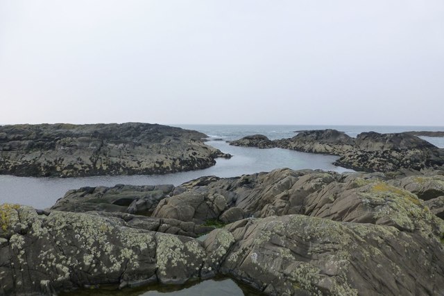
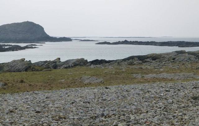
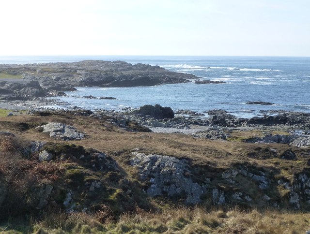
Bogha na h-Inbhireach is a prominent coastal feature located in Argyllshire, Scotland. It is a headland or point that juts out into the Atlantic Ocean, offering breathtaking views of the surrounding landscape. The name "Bogha na h-Inbhireach" translates to "the bow of the inver" in English, which accurately describes its shape resembling a bow.
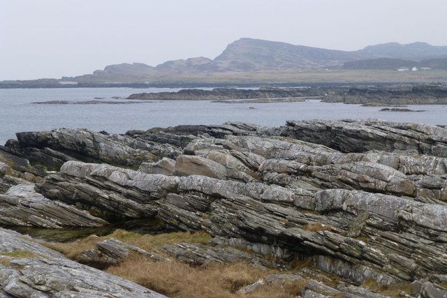
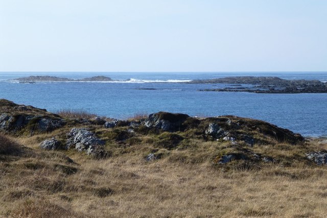
Situated on the west coast of Scotland, this coastal landmark is characterized by rugged cliffs that plunge into the sea below. The headland is formed by layers of ancient rocks, showcasing the geological history of the area. The exposed cliffs exhibit a variety of colors, ranging from deep reds and browns to lighter shades of gray and beige.
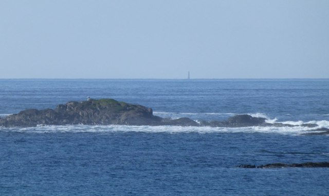
Bogha na h-Inbhireach is also known for its diverse wildlife. The surrounding waters are home to a rich marine ecosystem, attracting a range of species such as seals, dolphins, and various seabirds. It is a popular spot for birdwatching enthusiasts, who can observe species like puffins, gannets, and guillemots nesting on the cliffs.
Visitors to Bogha na h-Inbhireach can enjoy scenic walks along the coastal path that skirts the headland, offering stunning vistas of the ocean and the nearby islands. The area is also a popular destination for rock climbers, thanks to the challenging cliffs that provide thrilling opportunities for experienced climbers.
Overall, Bogha na h-Inbhireach is a remarkable coastal feature in Argyllshire, offering a unique blend of natural beauty, geological significance, and diverse wildlife. It is a must-visit destination for nature lovers and outdoor enthusiasts alike.
If you have any feedback on the listing, please let us know in the comments section below.
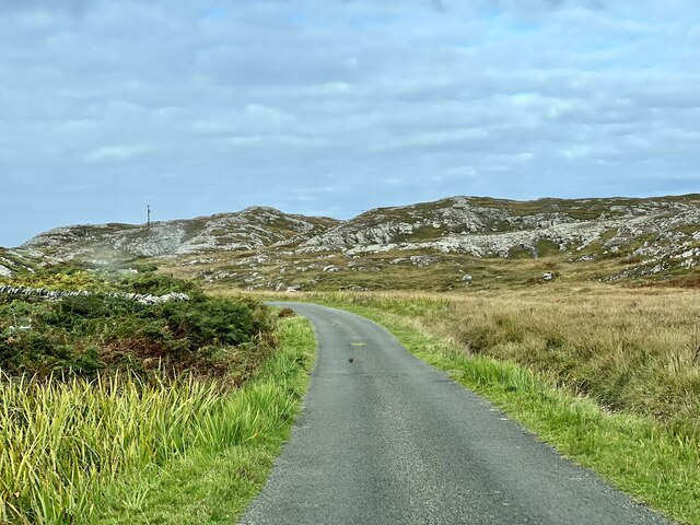
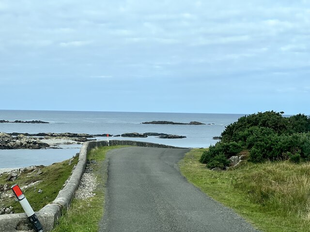
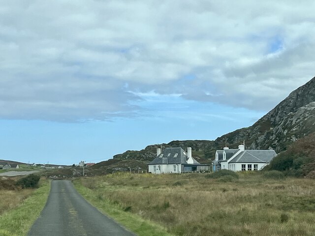
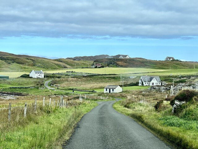
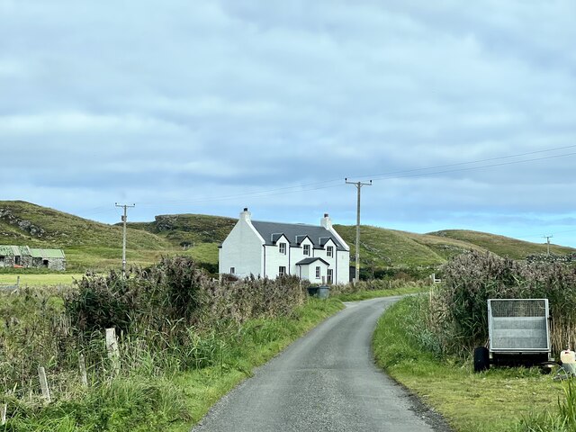
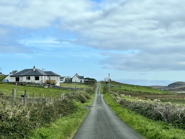
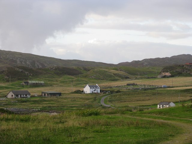
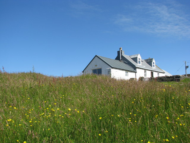
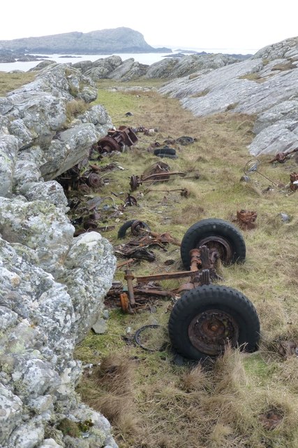
Bogha na h-Inbhireach Images
Images are sourced within 2km of 56.076866/-6.2567592 or Grid Reference NR3595. Thanks to Geograph Open Source API. All images are credited.

Bogha na h-Inbhireach is located at Grid Ref: NR3595 (Lat: 56.076866, Lng: -6.2567592)
Unitary Authority: Argyll and Bute
Police Authority: Argyll and West Dunbartonshire
What 3 Words
///frost.broken.funky. Near Scalasaig, Argyll & Bute
Nearby Locations
Related Wikis

St Cathan's Chapel
St Cathan's Chapel (Scottish Gaelic: Cill Chatan) is a ruined chapel on the island of Colonsay, Scotland in the Inner Hebrides. It was dedicated to Cathan...

Dùn Meadhonach
Dùn Meadhonach (English: Middle Fort) is a hillfort located on the Inner Hebridean island of Colonsay, Scotland. The site is located at grid reference...
Dùn Galláin
Dùn Galláin (English: Fort of the Strangers) is a promontory fort located on the Inner Hebridean island of Colonsay, Scotland. The site is located at grid...
Colonsay Airport
Colonsay Airport (Scottish Gaelic: Port-adhair Colbhasaigh) (IATA: CSA, ICAO: EGEY) is located on the island of Colonsay, Argyll and Bute, Scotland. Located...
Nearby Amenities
Located within 500m of 56.076866,-6.2567592Have you been to Bogha na h-Inbhireach?
Leave your review of Bogha na h-Inbhireach below (or comments, questions and feedback).