An Rubha
Coastal Feature, Headland, Point in Argyllshire
Scotland
An Rubha
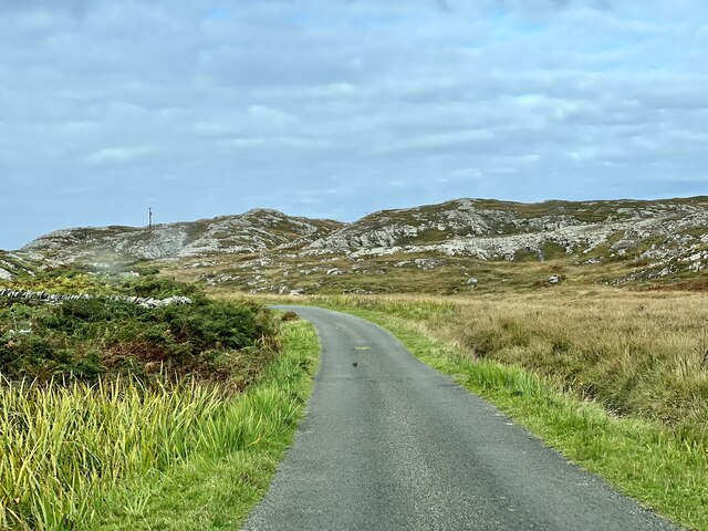
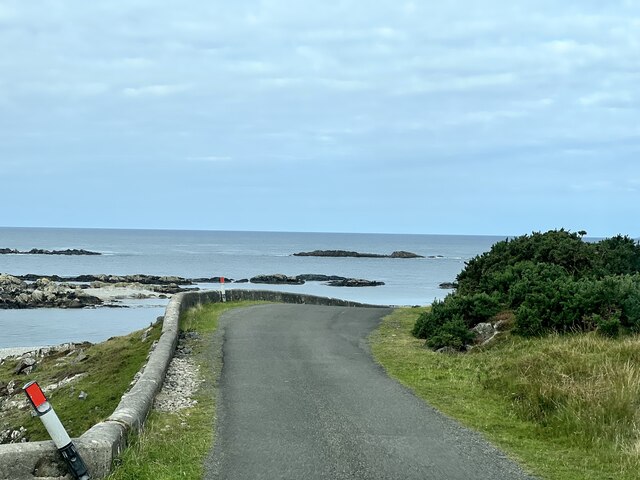
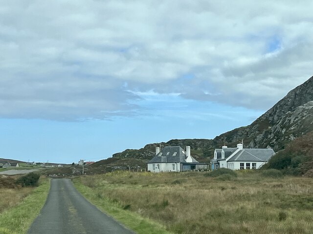
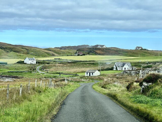
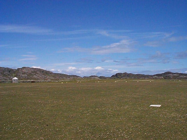
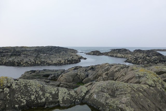
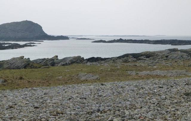
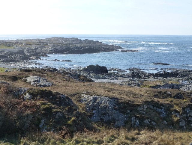
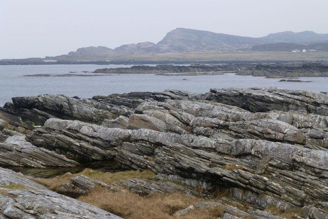
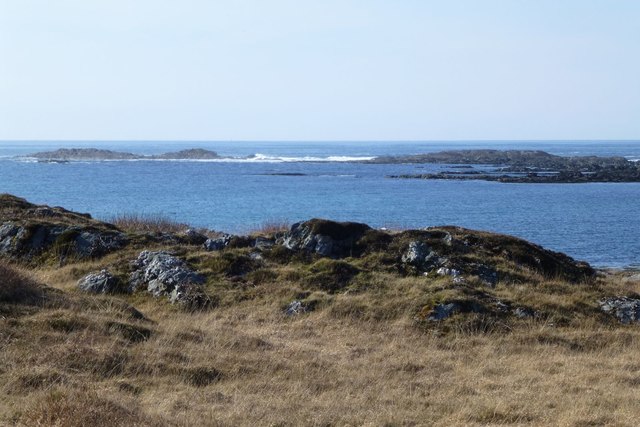
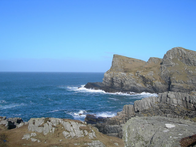
An Rubha, located in Argyllshire, Scotland, is a picturesque headland jutting out into the sea. This coastal feature is known for its stunning natural beauty and offers breathtaking views of the surrounding landscape. Situated on the western coast of Scotland, An Rubha is surrounded by rugged cliffs and steep slopes, adding to its dramatic appeal.
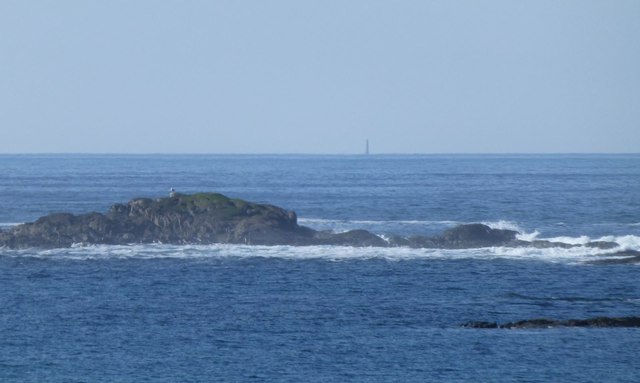
The headland is characterized by its rocky terrain, with large boulders scattered along the shoreline. These rocky outcrops provide a habitat for a variety of marine life, making An Rubha a popular spot for wildlife enthusiasts and nature lovers. Seals, dolphins, and a wide array of seabirds can often be spotted in the waters surrounding the headland, making it an ideal location for birdwatching and marine observation.
An Rubha is also home to a lighthouse, which has served as a navigational aid for ships in the region for many years. The lighthouse, perched atop the headland, adds to the charm and historical significance of the area. Visitors can explore the lighthouse and learn about its history, offering a glimpse into the maritime heritage of the region.
The headland is accessible by foot, with a well-maintained coastal path that winds its way along the cliffs and offers panoramic views of the surrounding coastline. The path is a popular choice for hikers and walkers, allowing them to experience the stunning natural beauty of An Rubha up close.
Overall, An Rubha, with its rugged cliffs, diverse wildlife, and historic lighthouse, is a must-visit destination for those seeking an authentic Scottish coastal experience.
If you have any feedback on the listing, please let us know in the comments section below.
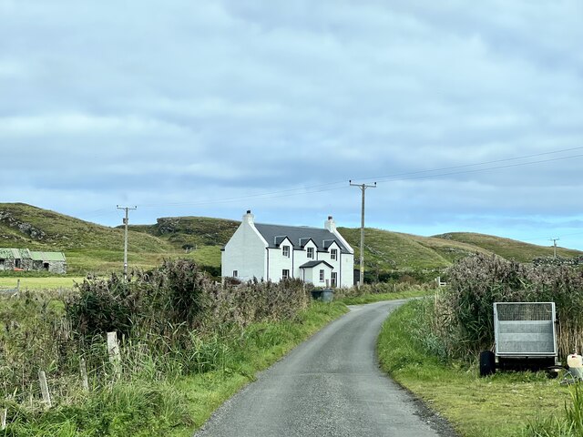
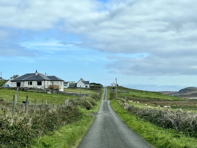
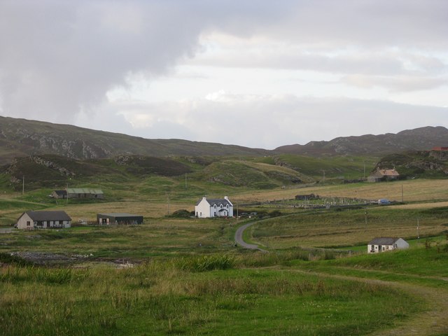
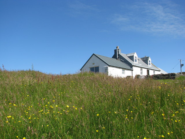
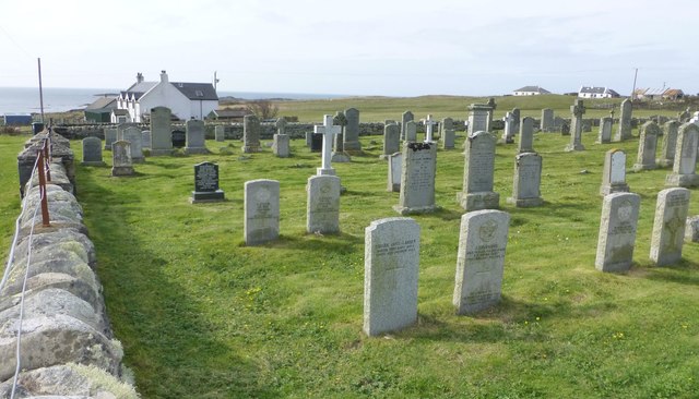
An Rubha Images
Images are sourced within 2km of 56.074857/-6.2513913 or Grid Reference NR3595. Thanks to Geograph Open Source API. All images are credited.

An Rubha is located at Grid Ref: NR3595 (Lat: 56.074857, Lng: -6.2513913)
Unitary Authority: Argyll and Bute
Police Authority: Argyll and West Dunbartonshire
What 3 Words
///uptake.stolen.prefer. Near Scalasaig, Argyll & Bute
Nearby Locations
Related Wikis

St Cathan's Chapel
St Cathan's Chapel (Scottish Gaelic: Cill Chatan) is a ruined chapel on the island of Colonsay, Scotland in the Inner Hebrides. It was dedicated to Cathan...

Dùn Meadhonach
Dùn Meadhonach (English: Middle Fort) is a hillfort located on the Inner Hebridean island of Colonsay, Scotland. The site is located at grid reference...
Colonsay Airport
Colonsay Airport (Scottish Gaelic: Port-adhair Colbhasaigh) (IATA: CSA, ICAO: EGEY) is located on the island of Colonsay, Argyll and Bute, Scotland. Located...
Dùn Galláin
Dùn Galláin (English: Fort of the Strangers) is a promontory fort located on the Inner Hebridean island of Colonsay, Scotland. The site is located at grid...
Chapel of St. Mary, Colonsay
The Chapel of St. Mary (Scottish Gaelic: Cill Mhoire), was a chapel dedicated to Saint Mary at Upper Kilchattan located on the Inner Hebridean island of...
Colonsay Group
The Colonsay Group is an estimated 5,000 m thick sequence of mildly metamorphosed Neoproterozoic sedimentary rocks that outcrop on the islands of Colonsay...

Colonsay
Colonsay (; Scottish Gaelic: Colbhasa; Scots: Colonsay) is an island in the Inner Hebrides of Scotland, located north of Islay and south of Mull. The ancestral...

Dùn Eibhinn
Dùn Eibhinn, also known as Dun Evan, Dun Eivan or Fort of Eyvind, is a hillfort located on the Inner Hebridean island of Colonsay, Scotland. The site is...
Nearby Amenities
Located within 500m of 56.074857,-6.2513913Have you been to An Rubha?
Leave your review of An Rubha below (or comments, questions and feedback).