Goban Saile
Coastal Feature, Headland, Point in Ross-shire
Scotland
Goban Saile
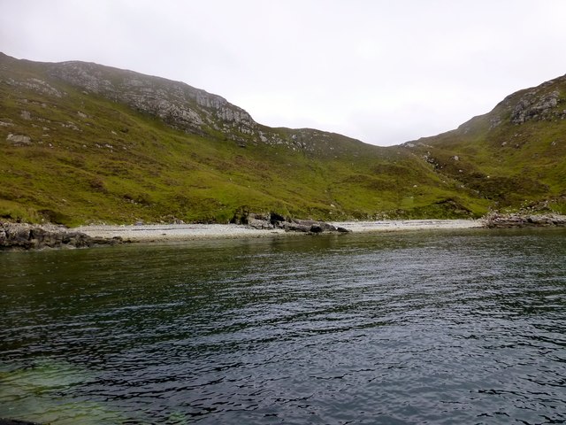
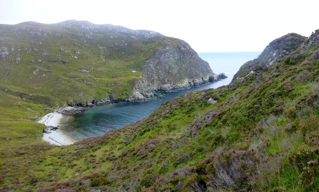
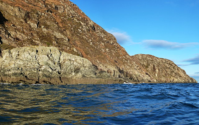
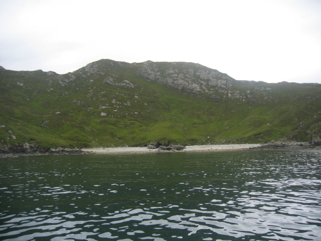
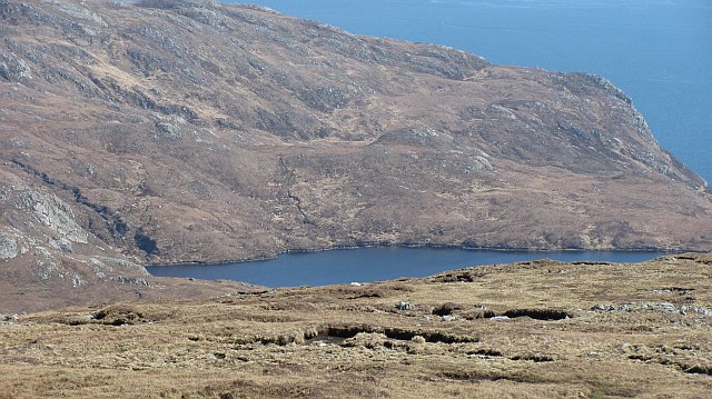
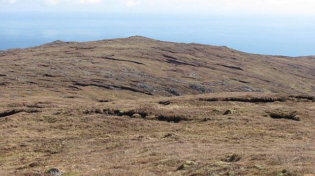
Goban Saile is a prominent coastal feature located in Ross-shire, Scotland. It is classified as a headland or point, jutting out into the sea and offering breathtaking views of the surrounding landscape. Situated on the west coast of Scotland, Goban Saile is known for its rugged cliffs, dramatic coastline, and picturesque scenery.
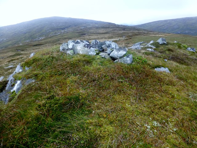
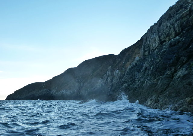
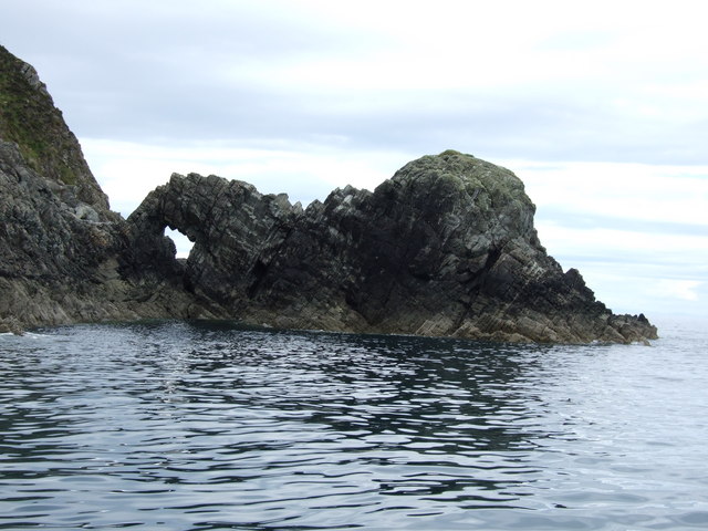
The headland is characterized by its towering cliffs, which reach heights of up to 100 meters (328 feet). These cliffs are composed of various rock types, including sandstone and limestone, creating a diverse geological landscape. Goban Saile is also home to several sea caves, formed by the relentless action of the waves over thousands of years. These caves provide habitat for a variety of marine life and are a popular destination for adventurous explorers.
The headland is surrounded by the pristine waters of the North Atlantic Ocean, which adds to its charm and allure. The coastal area is rich in marine biodiversity, supporting a wide range of species including seabirds, seals, and dolphins. Many visitors are captivated by the opportunity to spot these fascinating creatures in their natural habitat.
Goban Saile is a popular destination for outdoor enthusiasts and nature lovers. The headland provides excellent opportunities for hiking, birdwatching, and photography. There are several walking trails that wind their way along the coastline, offering stunning views of the surrounding sea and countryside. The area is also a haven for birdwatchers, with a variety of seabirds, such as puffins and guillemots, nesting on the cliffs.
In summary, Goban Saile is a remarkable coastal feature in Ross-shire, Scotland, known for its dramatic cliffs, sea caves, and stunning vistas. It is a must-visit destination for those seeking to experience the beauty and tranquility of Scotland's west coast.
If you have any feedback on the listing, please let us know in the comments section below.
Goban Saile Images
Images are sourced within 2km of 57.956147/-6.4671359 or Grid Reference NB3505. Thanks to Geograph Open Source API. All images are credited.

Goban Saile is located at Grid Ref: NB3505 (Lat: 57.956147, Lng: -6.4671359)
Unitary Authority: Na h-Eileanan an Iar
Police Authority: Highlands and Islands
What 3 Words
///embedded.drum.reckoned. Near Leurbost, Na h-Eileanan Siar
Nearby Locations
Related Wikis

Eilean Liubhaird
Eilean Liubhaird or Eilean Iubhard is an island in the Outer Hebrides, to the east of Lewis. == Geography and geology == The rock is "gneiss bedrock with...

Orinsay
Orinsay (Scottish Gaelic: Orasaigh) is a crofting village on the Isle of Lewis in the district of Pairc, in the Outer Hebrides, Scotland. The settlement...

Stiomrabhaig
Stiomrabhaig is an abandoned crofter's village on the Isle of Lewis in the Outer Hebrides. == History == The United Kingdom Census 1851 shows that the...

Park, Lewis
Park (Scottish Gaelic: A' Phàirc), also known as South Lochs, is a huge area of land connected to the rest of Lewis only by a narrow neck between Loch...

Garbh Eilean, Shiant Islands
Garbh Eilean (Scottish Gaelic Rough Isle) is one of the Shiant Islands at the south end of the Minch on the west coast of Scotland. == Geology == In geological...

Shiant Islands
The Shiant Islands (; Scottish Gaelic: Na h-Eileanan Mòra [nə ˈhelanən ˈmoːɾə] or Na h-Eileanan Seunta [nə ˈhelanən ˈʃiant̪ə] ) or Shiant Isles are a privately...
Eilean an Taighe
"Eilean an Taighe", or "Eilean Taigh" is a fairly common island nameEilean an T(a)ighe, meaning "House Island" (lit. "Island of the House"), is one of...
Have you been to Goban Saile?
Leave your review of Goban Saile below (or comments, questions and feedback).