Carn Polpry

Coastal Feature, Headland, Point in Cornwall

England

Carn Polpry

Windswept, St Just Clearly the owners of this shop have an eye for detail and design.
Windswept, St Just Credit: Jonathan Billinger

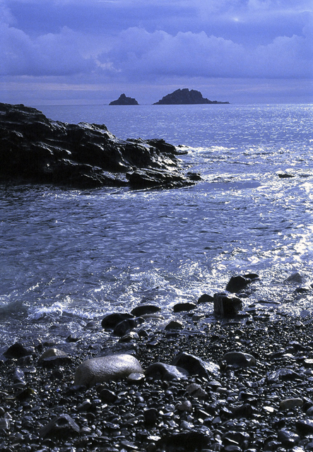
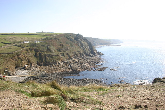
Carn Polpry is a prominent headland located on the coastline of Cornwall, England. Situated in the southwestern part of the county, it offers breathtaking views of the Atlantic Ocean and is a popular tourist destination for nature enthusiasts and walkers.

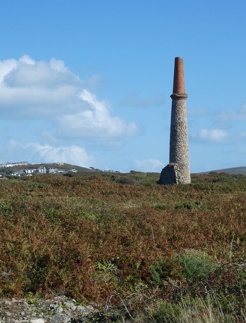
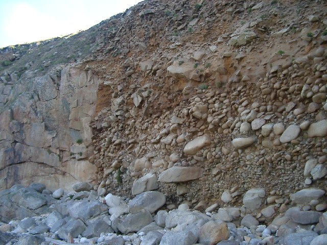
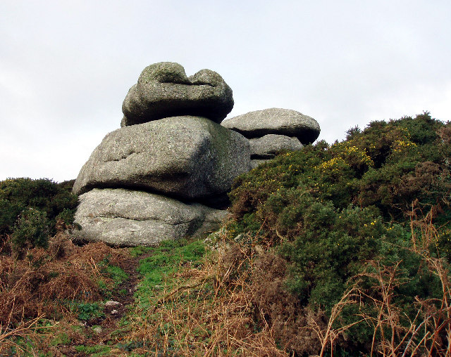
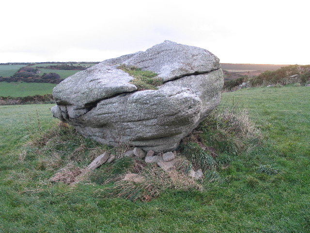
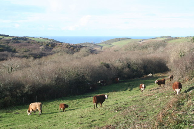
The headland is characterized by its rugged cliffs, which rise steeply from the sea, providing a dramatic backdrop to the surrounding landscape. The cliffs are composed of a mix of sedimentary rocks, including slate and shale, which have been shaped by erosion over millions of years.

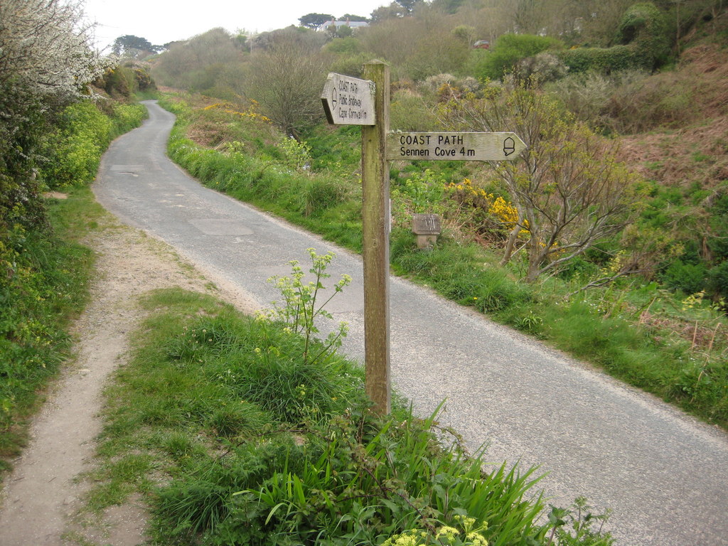
At the top of Carn Polpry, visitors can find a well-maintained footpath that offers stunning panoramic views of the coastline, with the azure waters of the Atlantic stretching out as far as the eye can see. The headland is also home to a variety of flora and fauna, including seabirds, wildflowers, and even the occasional seal or dolphin sighting.

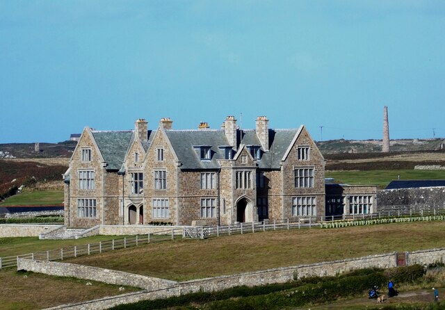
The area around Carn Polpry is steeped in history, with evidence of ancient settlements and burial sites dating back thousands of years. Visitors can explore these historical sites while enjoying the natural beauty of the headland.

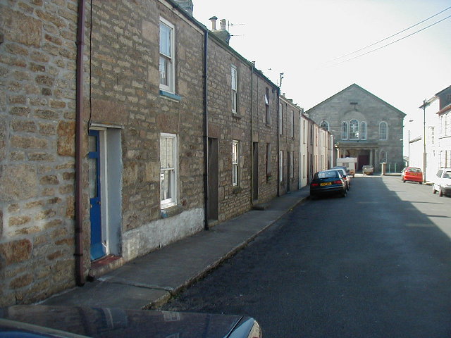
Access to Carn Polpry is relatively easy, with a car park located nearby, making it a convenient spot for day trips or longer hikes along the picturesque coastal path. Whether it's for a peaceful stroll, birdwatching, or simply to take in the awe-inspiring views, Carn Polpry is a must-visit destination for anyone exploring the scenic coastline of Cornwall.

If you have any feedback on the listing, please let us know in the comments section below.

Carn Polpry Images

Images are sourced within 2km of 50.109939/-5.6971308 or Grid Reference SW3529. Thanks to Geograph Open Source API. All images are credited.

Windswept, St Just Clearly the owners of this shop have an eye for detail and design.
Windswept, St Just
Clearly the owners of this shop have an eye for detail and design.
Carn Gloose Trig Point Flush Bracket S8141
Ballowall Barrow This Bronze Age barrow was excavated (and radically altered) in 1878 by Cornish antiquarian William Borlase. The internal walls were rebuilt by him which has unfortunately affected the way it is perceived. It is however an evocative site in a stunning location.
See <span class="nowrap"><a title="https://www.english-heritage.org.uk/visit/places/ballowall-barrow" rel="nofollow ugc noopener" href="https://www.english-heritage.org.uk/visit/places/ballowall-barrow">Link</a><img style="margin-left:2px;" alt="External link" title="External link - shift click to open in new window" src="https://s1.geograph.org.uk/img/external.png" width="10" height="10"/></span>
Ballowall Barrow
This Bronze Age barrow was excavated (and radically altered) in 1878 by Cornish antiquarian William Borlase. The internal walls were rebuilt by him which has unfortunately affected the way it is perceived. It is however an evocative site in a stunning location. See LinkExternal link
National Trust car park and hut at Cape Cornwall
The stream from Cot Valley discharging onto the beach at Porth Nanven
Eroded rocks on the beach at Porth Nanven Worn away by the stream in the Cot Valley, which discharges onto the beach here.
Eroded rocks on the beach at Porth Nanven
Worn away by the stream in the Cot Valley, which discharges onto the beach here.
Emergency call point at Porth Nanven
Chimney of former mine at Ballowall Situated a few dozen metres southeast of <a href="https://www.geograph.org.uk/photo/6982138">SW3531 : Ballowall Barrow</a> this chimney is all that is left of a former mine. It is one of many mining remnants in the area, which collectively form the Cornwall and West Devon Mining Landscape UNESCO World Heritage site - see
UNESCO: <span class="nowrap"><a title="https://whc.unesco.org/en/list/1215" rel="nofollow ugc noopener" href="https://whc.unesco.org/en/list/1215">Link</a><img style="margin-left:2px;" alt="External link" title="External link - shift click to open in new window" src="https://s1.geograph.org.uk/img/external.png" width="10" height="10"/></span>
English Heritage: <span class="nowrap"><a title="https://historicengland.org.uk/listing/the-list/list-entry/1000105?section=official-list-entry" rel="nofollow ugc noopener" href="https://historicengland.org.uk/listing/the-list/list-entry/1000105?section=official-list-entry">Link</a><img style="margin-left:2px;" alt="External link" title="External link - shift click to open in new window" src="https://s1.geograph.org.uk/img/external.png" width="10" height="10"/></span>
Chimney of former mine at Ballowall
Situated a few dozen metres southeast of SW3531 : Ballowall Barrow this chimney is all that is left of a former mine. It is one of many mining remnants in the area, which collectively form the Cornwall and West Devon Mining Landscape UNESCO World Heritage site - see UNESCO: LinkExternal link English Heritage: LinkExternal link
Porthledden House Porthledden House on the road to Cape Cornwall is called by English Heritage "a good example of an early C20th gentleman's house with associations with the mining industry." 
It was built c.1907-9 for the mineralogist Francis Oats, a captain at Botallack mine before he was appointed Inspector of Mines by the Colonial Office. He became manager of the Victoria Diamond Mine in South Africa and later chairman of De Beers.
Porthledden House
Porthledden House on the road to Cape Cornwall is called by English Heritage "a good example of an early C20th gentleman's house with associations with the mining industry." It was built c.1907-9 for the mineralogist Francis Oats, a captain at Botallack mine before he was appointed Inspector of Mines by the Colonial Office. He became manager of the Victoria Diamond Mine in South Africa and later chairman of De Beers.
St Just Free Church
St Just Free Church
Looking out towards the Brisons From Priests Cove, Cape Cornwall
Climate history revealed! Bottom: current beach - rounded rocks
Middle: raised beach (rounded pebbles but above current sea level) from warm period 120000 years ago (Mediterranean Climate in south Britain)
Top: head deposits (angular - broken by ice action) from 100000-20000 years ago when area was tundra and ice covered much of Britain.
Climate history revealed!
Bottom: current beach - rounded rocks Middle: raised beach (rounded pebbles but above current sea level) from warm period 120000 years ago (Mediterranean Climate in south Britain) Top: head deposits (angular - broken by ice action) from 100000-20000 years ago when area was tundra and ice covered much of Britain.
Priest's Cove Taken from Cape Cornwall
Priest's Cove
Taken from Cape Cornwall
Bosworlas Rock Basins Also referred to as The Giant's Chair by Dr Borlase in his 1769 book on Penwith's stones.
Bosworlas Rock Basins
Also referred to as The Giant's Chair by Dr Borlase in his 1769 book on Penwith's stones.
Chapel Street, St Just
Tom Thumb rock St. Just-in-Penwith
Carn Bosavern A view looking west across the B3306 to a dilapidated railway van at the farm at Carn Bosavern.
Carn Bosavern
A view looking west across the B3306 to a dilapidated railway van at the farm at Carn Bosavern.
Smarttart A view looking east across the B3306 at St. Just in Penwith, showing a colourful promotional vehicle.  The company trades in designer handbags!
Smarttart
A view looking east across the B3306 at St. Just in Penwith, showing a colourful promotional vehicle. The company trades in designer handbags!
Show me another place!

Carn Polpry is located at Grid Ref: SW3529 (Lat: 50.109939, Lng: -5.6971308)

Unitary Authority: Cornwall

Police Authority: Devon and Cornwall

What 3 Words

///confusion.swells.copying. Near St Just, Cornwall

Related Wikis

Porth Nanven

Porth Nanven (grid reference SW355307; most well known as Cot Valley and occasionally known as Penanwell) is a beach in the far west of Cornwall, England...

Cot Valley

Cot Valley is located half-a-mile south of St Just in west Cornwall, United Kingdom. It has a very mild microclimate.The stream which runs down the valley...

Nanquidno

Nanquidno is a hamlet near St Just in Penwith in west Cornwall, England. It is about half a mile southwest of Kelynack. == References ==

Kelynack

Kelynack (from Cornish: Kelynek is a settlement in west Cornwall, England, UK. == Geography == Kelynack is on the Penwith peninsula approximately four...

Nearby Amenities

Located within 500m of 50.109939,-5.6971308
Barrier: kissing_gate
Foot: yes
Lat/Long: 50.1109478/-5.6963216
Barrier: kissing_gate
Lat/Long: 50.1066874/-5.696784
Barrier: stile
Lat/Long: 50.1130522/-5.6961599
Barrier: stile
Lat/Long: 50.1127396/-5.6967503
Power: pole
Transformer: distribution
Lat/Long: 50.1065875/-5.6932247
Power: pole
Transformer: distribution
Lat/Long: 50.1090663/-5.6908321
The data included in this document is from www.openstreetmap.org. The data is made available under ODbL.

Have you been to Carn Polpry?

Leave your review of Carn Polpry below (or comments, questions and feedback).