Creagan Dubh
Coastal Feature, Headland, Point in Ross-shire
Scotland
Creagan Dubh
The requested URL returned error: 429 Too Many Requests
If you have any feedback on the listing, please let us know in the comments section below.
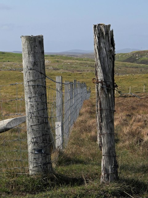
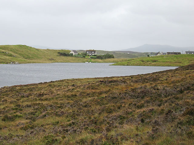
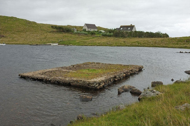
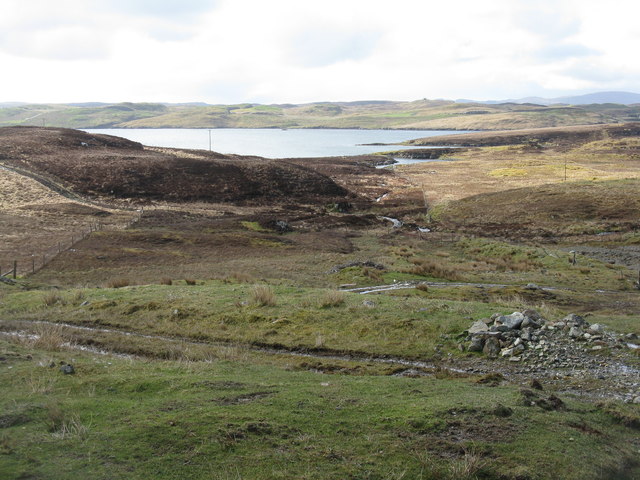
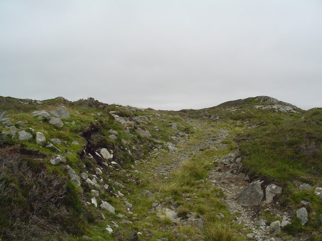
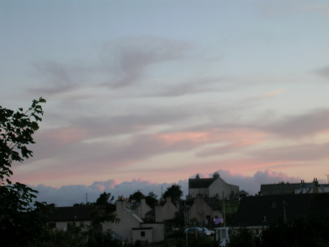
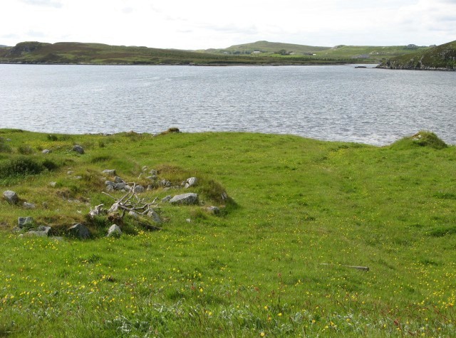
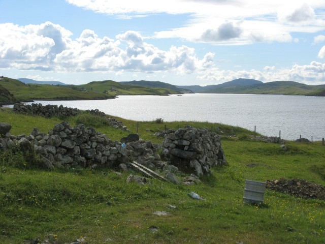
Creagan Dubh Images
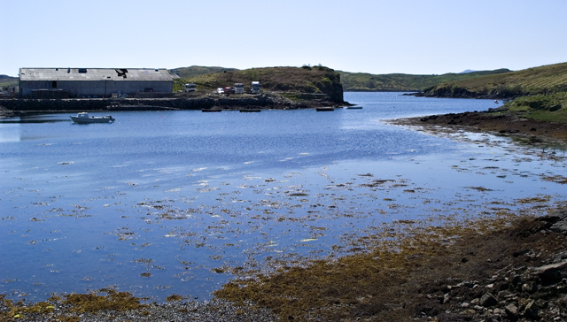
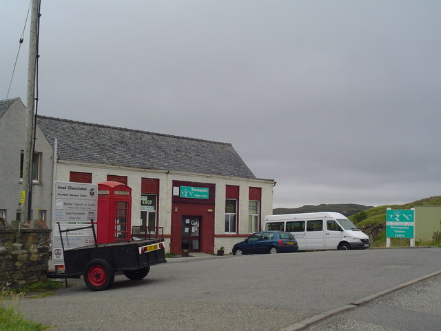
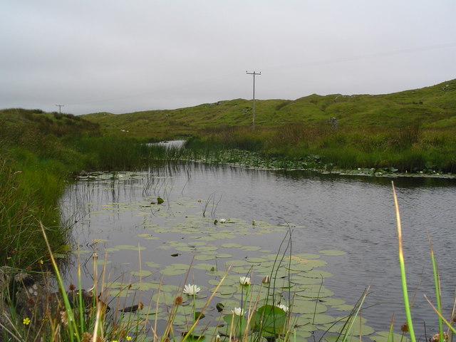
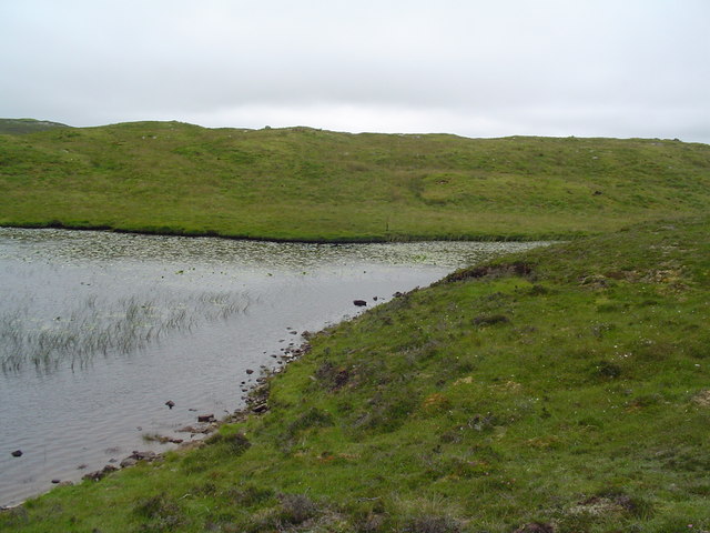
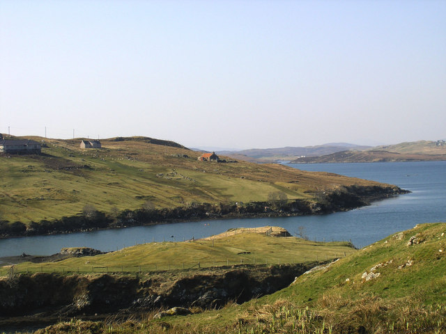
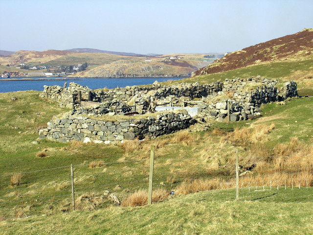
Images are sourced within 2km of 58.093832/-6.4853028 or Grid Reference NB3520. Thanks to Geograph Open Source API. All images are credited.


Creagan Dubh is located at Grid Ref: NB3520 (Lat: 58.093832, Lng: -6.4853028)
Unitary Authority: Na h-Eileanan an Iar
Police Authority: Highlands and Islands
What 3 Words
///admiringly.goat.panicking. Near Leurbost, Na h-Eileanan Siar
Nearby Locations
Related Wikis

Cabharstadh
Cabharstadh or Caversta (Scottish Gaelic: Cabharstaigh) is a village on the Isle of Lewis in the Outer Hebrides, Scotland. Caversta is situated in the...

Loch Erisort
Loch Erisort (Scottish Gaelic: Èireasort) is an 8-mile-long narrow sea inlet on the east coast of the Isle of Lewis in the Outer Hebrides off the west...
Eilean Chaluim Chille
Eilean Chaluim Chille (Gaelic: island of Saint Columba, Calum Cille) is an unpopulated island in the Outer Hebrides. It lies off the east coast of Lewis...

Cromore
Cromore (Scottish Gaelic: Crò Mòr) is a crofting township on the Isle of Lewis in the district of Pairc, in the Outer Hebrides, Scotland. The settlement...
Nearby Amenities
Located within 500m of 58.093832,-6.4853028Have you been to Creagan Dubh?
Leave your review of Creagan Dubh below (or comments, questions and feedback).