Gob Glas

Coastal Feature, Headland, Point in Ross-shire

Scotland

Gob Glas

Fence, Cleite Mòr, Isle of Lewis The fence runs between improved land used as sheep pasture and moorland.
Fence, Cleite Mòr, Isle of Lewis Credit: Claire Pegrum

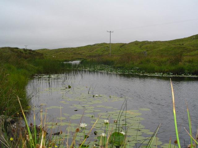
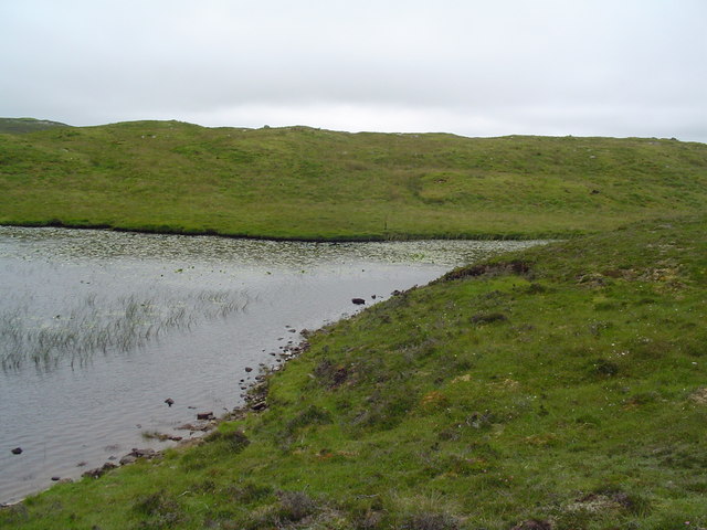
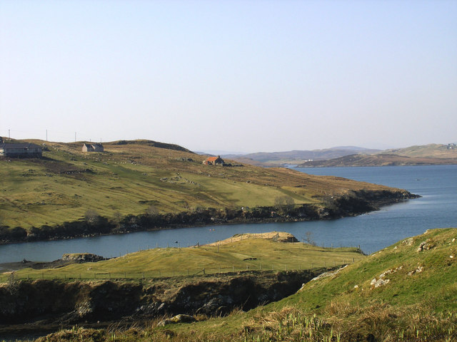
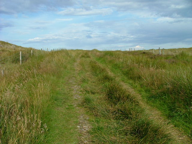
Gob Glas is a prominent coastal feature located in Ross-shire, Scotland. It is classified as a headland, also known as a point, due to its protrusion into the sea. Situated along the rugged coastline, Gob Glas offers stunning panoramic views of the surrounding landscape and the vast expanse of the North Sea.

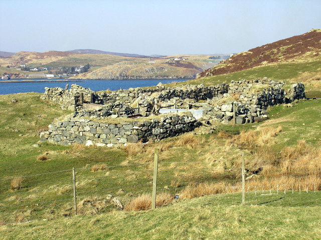
The headland is characterized by its rocky cliffs, which jut out dramatically into the water. These cliffs have been shaped by years of erosion from the powerful waves and winds that frequently batter the area. The rocks are predominantly composed of sandstone and limestone, creating a unique geological formation.

Atop the headland, visitors can find a grassy plateau that provides an ideal vantage point for observing the coastal scenery. The plateau is often adorned with colorful wildflowers during the summer months, adding to the natural beauty of the area.

Gob Glas is home to a diverse range of wildlife, including various seabirds such as gannets, puffins, and fulmars. The surrounding waters are teeming with marine life, making it a popular spot for fishing enthusiasts and birdwatchers alike.

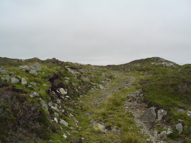
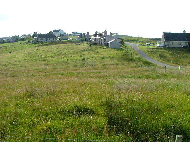
The headland is easily accessible by foot, with several walking trails leading to its summit. These trails wind their way through picturesque coastal scenery, offering visitors a chance to immerse themselves in the natural splendor of the area.

Overall, Gob Glas is a captivating coastal feature in Ross-shire, providing visitors with breathtaking views, diverse wildlife, and an opportunity to experience the rugged beauty of Scotland's coastline.

If you have any feedback on the listing, please let us know in the comments section below.
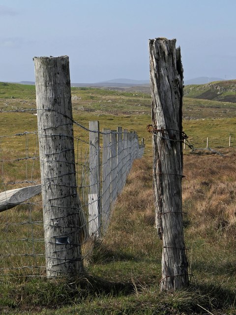
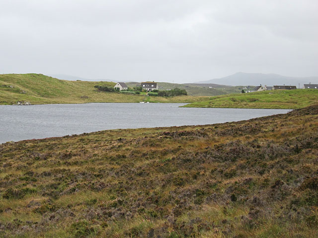
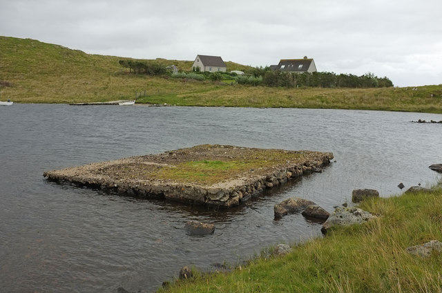
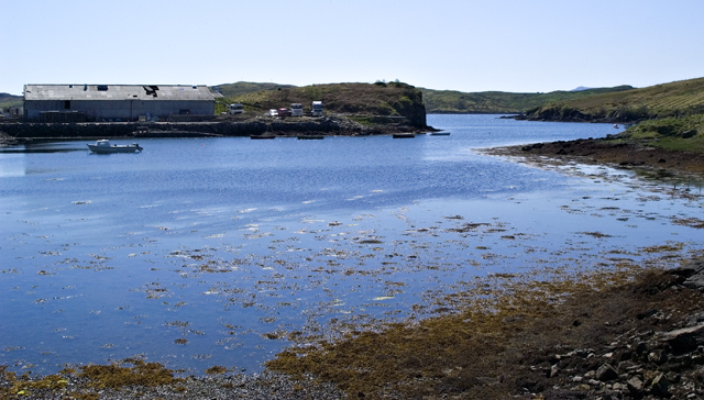
Gob Glas Images

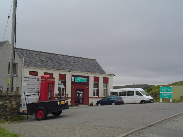
Images are sourced within 2km of 58.09394/-6.4830065 or Grid Reference NB3520. Thanks to Geograph Open Source API. All images are credited.

Fence, Cleite Mòr, Isle of Lewis The fence runs between improved land used as sheep pasture and moorland.
Fence, Cleite Mòr, Isle of Lewis
The fence runs between improved land used as sheep pasture and moorland.
Gate above Loch nan Caor, Isle of Lewis I'm guessing that this somewhat decorative field gate has previously been in a more domestic location!

According to the OS Name Book of 1848-1852, Loch nan Caor means Rowan Trees Loch.
Gate above Loch nan Caor, Isle of Lewis
I'm guessing that this somewhat decorative field gate has previously been in a more domestic location! According to the OS Name Book of 1848-1852, Loch nan Caor means Rowan Trees Loch.
Glìb Cheòis from the shore of Loch Cheòis Looking across the loch towards the last few houses at the end of the road in Glìb Cheòis.
Glìb Cheòis from the shore of Loch Cheòis
Looking across the loch towards the last few houses at the end of the road in Glìb Cheòis.
Loch Èireasort A view across Loch Èireasort and a fish farm from the track at Glìb Cheòis.
Loch Èireasort
A view across Loch Èireasort and a fish farm from the track at Glìb Cheòis.
Platform in Loch Cheois This small concrete platform is at the southern end of Loch Cheois. There is nothing to indicate its function. (There is a slight possibility that it is associated with the WWII "chariot" training facility at Tavay.)
Platform in Loch Cheois
This small concrete platform is at the southern end of Loch Cheois. There is nothing to indicate its function. (There is a slight possibility that it is associated with the WWII "chariot" training facility at Tavay.)
The Harbour at Cèos The harbour at the crofting community of Cèos is mostly used to support the fish farms in Loch Èireasort
The Harbour at Cèos
The harbour at the crofting community of Cèos is mostly used to support the fish farms in Loch Èireasort
South Lochs Community Centre An old school in Cearsiader has been converted to form a community centre including tourist information and a cafe.
South Lochs Community Centre
An old school in Cearsiader has been converted to form a community centre including tourist information and a cafe.
Croft in Garryvard The access gate to a croft in Garryvard. Crofting paraphanalia litters the area. A derelict croft house can be seen in the background.
Croft in Garryvard
The access gate to a croft in Garryvard. Crofting paraphanalia litters the area. A derelict croft house can be seen in the background.
Boats moored in Caversta A small inlet from Loch Erisort provides a perfect mooring for small boats.
Boats moored in Caversta
A small inlet from Loch Erisort provides a perfect mooring for small boats.
Caversta River A section of the Caversta River just south of Garryvard.
Caversta River
A section of the Caversta River just south of Garryvard.
Caversta River Pool A pool on the Caversta river.
Caversta River Pool
A pool on the Caversta river.
Hillside Track off B8060 A track leading up Cnoc a Mhaide from the B8060.
Hillside Track off B8060
A track leading up Cnoc a Mhaide from the B8060.
Evening on Loch Cheois Evening view of Loch Cheois
Evening on Loch Cheois
Evening view of Loch Cheois
Evening over Glib Cheois Evening view over Glib Cheois
Evening over Glib Cheois
Evening view over Glib Cheois
Garyvard from Caversta
Rubha Cabharstaidh Ruined blackhouse and enclosures at the end of the Caversta Road, on Croft 4.  Keos Glebe is the village across Loch Erisort.
Rubha Cabharstaidh
Ruined blackhouse and enclosures at the end of the Caversta Road, on Croft 4. Keos Glebe is the village across Loch Erisort.
Houses at Glib Cheois
Moorland track The track begins at the Glib Cheois road end.
Moorland track
The track begins at the Glib Cheois road end.
Show me another place!

Gob Glas is located at Grid Ref: NB3520 (Lat: 58.09394, Lng: -6.4830065)

Unitary Authority: Na h-Eileanan an Iar

Police Authority: Highlands and Islands

What 3 Words

///tangent.vowel.legroom. Near Leurbost, Na h-Eileanan Siar

Related Wikis

Cabharstadh

Cabharstadh or Caversta (Scottish Gaelic: Cabharstaigh) is a village on the Isle of Lewis in the Outer Hebrides, Scotland. Caversta is situated in the...

Loch Erisort

Loch Erisort (Scottish Gaelic: Èireasort) is an 8-mile-long narrow sea inlet on the east coast of the Isle of Lewis in the Outer Hebrides off the west...

Eilean Chaluim Chille

Eilean Chaluim Chille (Gaelic: island of Saint Columba, Calum Cille) is an unpopulated island in the Outer Hebrides. It lies off the east coast of Lewis...

Cromore

Cromore (Scottish Gaelic: Crò Mòr) is a crofting township on the Isle of Lewis in the district of Pairc, in the Outer Hebrides, Scotland. The settlement...

Nearby Amenities

Located within 500m of 58.09394,-6.4830065
Gearraidh Bhaird
Name En: Garyvard
Name Gd: Gearraidh Bhaird
Place: village
Lat/Long: 58.0903292/-6.4795024
Post Box
Collection Times: Mo-Fr 09:00; Sa 09:00
Operator: Royal Mail
Post Box Type: lamp
Ref: HS2 99
Royal Cypher: scottish_crown
Source: survey
Lat/Long: 58.0904891/-6.4785251
Tob Garyvard
Natural: bay
Lat/Long: 58.091937/-6.4777494
Power: pole
Lat/Long: 58.0901352/-6.4848112
Power: pole
Lat/Long: 58.0903597/-6.4839193
Power: pole
Lat/Long: 58.0905863/-6.4854465
Power: pole
Lat/Long: 58.0917415/-6.4819022
Power: pole
Lat/Long: 58.091253/-6.4808499
Power: pole
Lat/Long: 58.0909777/-6.4803297
Power: pole
Lat/Long: 58.090705/-6.4796371
Power: pole
Lat/Long: 58.0903861/-6.478904
Power: pole
Lat/Long: 58.0897394/-6.4828862
Street Lamp
Lamp Type: electric
Lat/Long: 58.0908145/-6.4790863
Street Lamp
Lamp Type: electric
Lat/Long: 58.0904438/-6.4784157
Street Lamp
Lamp Type: electric
Lat/Long: 58.091271/-6.4807291
Street Lamp
Lamp Type: electric
Lat/Long: 58.0910548/-6.4799017
Power: pole
Lat/Long: 58.0915596/-6.4815222
Power: pole
Lat/Long: 58.0920068/-6.4824645
Power: pole
Lat/Long: 58.0921833/-6.4833108
Power: pole
Lat/Long: 58.0923463/-6.4840738
Power: pole
Lat/Long: 58.0925065/-6.484853
Power: pole
Lat/Long: 58.0926887/-6.4857019
Power: pole
Lat/Long: 58.0923988/-6.482325
Height: 7
Man Made: mast
Tower Construction: freestanding
Lat/Long: 58.0935258/-6.4874662
Power: pole
Lat/Long: 58.0925553/-6.4867417
Power: pole
Lat/Long: 58.0924034/-6.4879182
The data included in this document is from www.openstreetmap.org. The data is made available under ODbL.

Have you been to Gob Glas?

Leave your review of Gob Glas below (or comments, questions and feedback).