Cnoc Breac a' Ghairbhuilt

Hill, Mountain in Ross-shire

Scotland

Cnoc Breac a' Ghairbhuilt

Fence, Cleite Mòr, Isle of Lewis The fence runs between improved land used as sheep pasture and moorland.
Fence, Cleite Mòr, Isle of Lewis Credit: Claire Pegrum

Cnoc Breac a' Ghairbhuilt is a hill located in Ross-shire, Scotland. It is situated in the Western Highlands and is part of the broader region known for its stunning natural beauty. The hill stands at an elevation of approximately 534 meters (1,752 feet) above sea level.

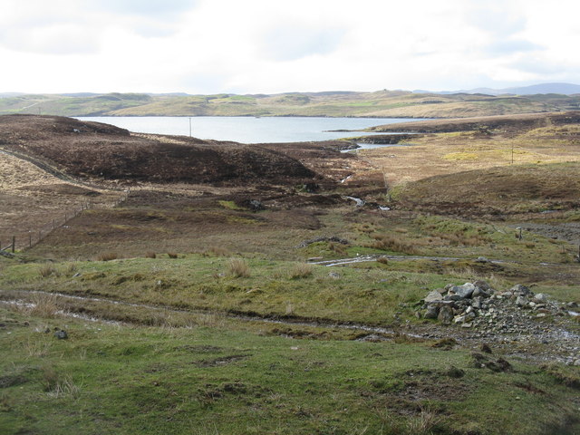
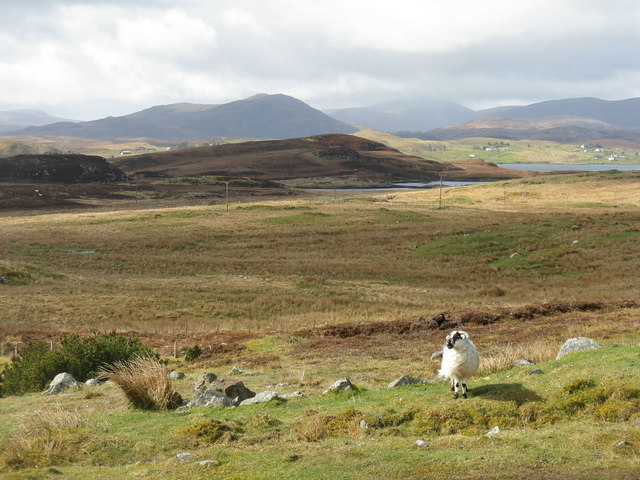
Cnoc Breac a' Ghairbhuilt offers breathtaking panoramic views of the surrounding landscape. From its summit, one can see the rugged peaks of the nearby mountains, including Ben Wyvis, Fannichs, and Torridon. On a clear day, it is even possible to catch a glimpse of the distant Isle of Skye.

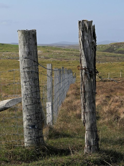
The hill is characterized by its rocky terrain, which provides a challenging yet rewarding climb for hikers and mountaineers. The ascent to the top of Cnoc Breac a' Ghairbhuilt is steep, but the effort is well worth it for the incredible vistas that await at the summit.

The surrounding area is rich in biodiversity, with various species of flora and fauna thriving in the hills and valleys. It is not uncommon to spot red deer, golden eagles, and other wildlife while exploring the vicinity of Cnoc Breac a' Ghairbhuilt.

For outdoor enthusiasts, the hill offers an excellent opportunity for hiking, hillwalking, or simply enjoying the serene beauty of the Scottish Highlands. It is advisable to come prepared with appropriate clothing, footwear, and navigation equipment, as the weather conditions can change rapidly in this part of the country.

In conclusion, Cnoc Breac a' Ghairbhuilt is a picturesque hill in Ross-shire, Scotland, offering stunning views, challenging terrain, and a chance to immerse oneself in the unspoiled natural surroundings of the Western Highlands.

If you have any feedback on the listing, please let us know in the comments section below.

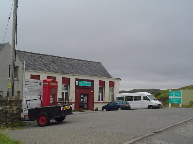
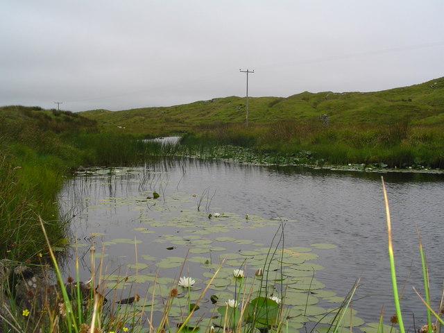
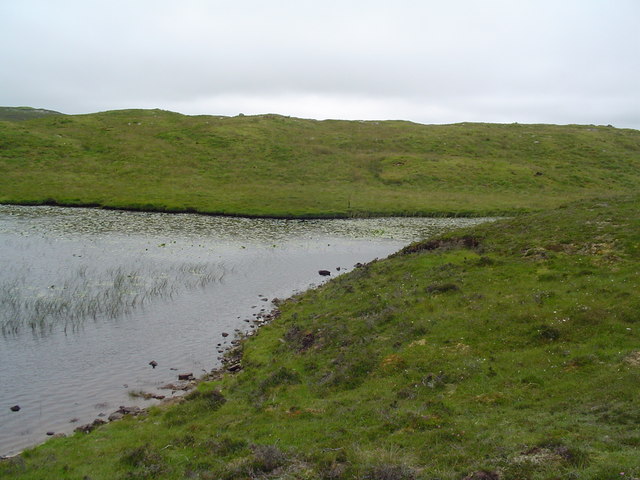
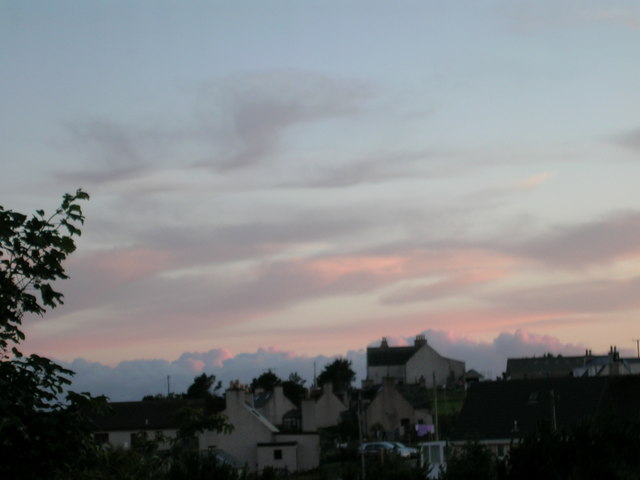
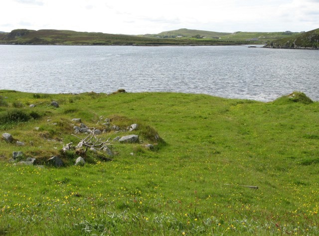
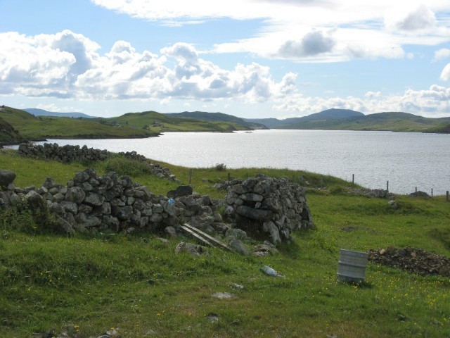
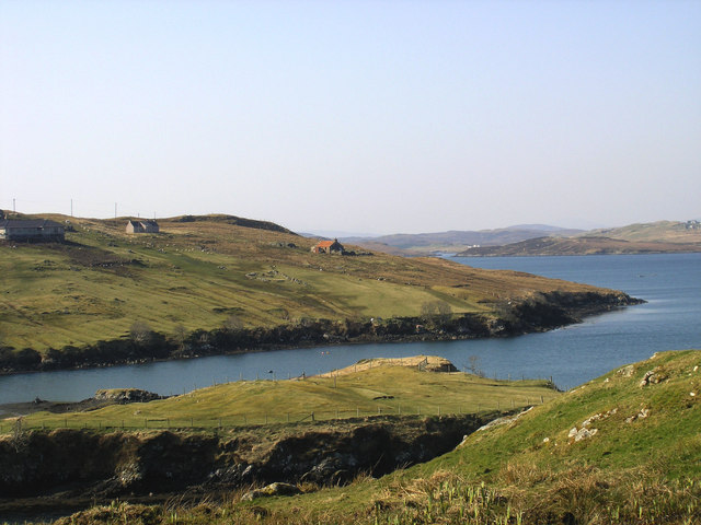
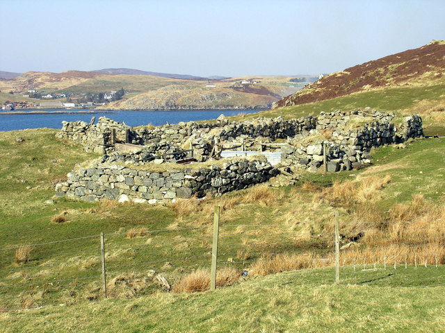
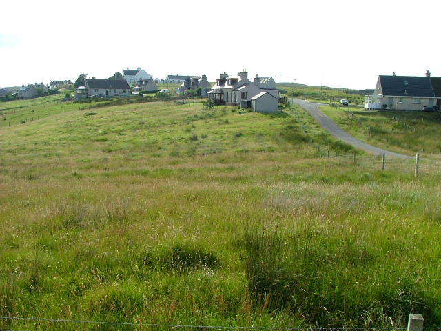
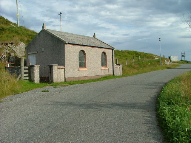
Cnoc Breac a' Ghairbhuilt Images

Images are sourced within 2km of 58.091601/-6.4939896 or Grid Reference NB3520. Thanks to Geograph Open Source API. All images are credited.

Fence, Cleite Mòr, Isle of Lewis The fence runs between improved land used as sheep pasture and moorland.
Fence, Cleite Mòr, Isle of Lewis
The fence runs between improved land used as sheep pasture and moorland.
Gate above Loch nan Caor, Isle of Lewis I'm guessing that this somewhat decorative field gate has previously been in a more domestic location!

According to the OS Name Book of 1848-1852, Loch nan Caor means Rowan Trees Loch.
Gate above Loch nan Caor, Isle of Lewis
I'm guessing that this somewhat decorative field gate has previously been in a more domestic location! According to the OS Name Book of 1848-1852, Loch nan Caor means Rowan Trees Loch.
Loch Èireasort A view across Loch Èireasort and a fish farm from the track at Glìb Cheòis.
Loch Èireasort
A view across Loch Èireasort and a fish farm from the track at Glìb Cheòis.
Abhainn Eallaidh from the cemetery Flowing south to Loch Èireasort.
Abhainn Eallaidh from the cemetery
Flowing south to Loch Èireasort.
Looking across Abhainn Eallaidh from the cemetery To Loch Èireasort and  Lacasaidh.
Looking across Abhainn Eallaidh from the cemetery
To Loch Èireasort and Lacasaidh.
The Harbour at Cèos The harbour at the crofting community of Cèos is mostly used to support the fish farms in Loch Èireasort
The Harbour at Cèos
The harbour at the crofting community of Cèos is mostly used to support the fish farms in Loch Èireasort
South Lochs Community Centre An old school in Cearsiader has been converted to form a community centre including tourist information and a cafe.
South Lochs Community Centre
An old school in Cearsiader has been converted to form a community centre including tourist information and a cafe.
Croft in Garryvard The access gate to a croft in Garryvard. Crofting paraphanalia litters the area. A derelict croft house can be seen in the background.
Croft in Garryvard
The access gate to a croft in Garryvard. Crofting paraphanalia litters the area. A derelict croft house can be seen in the background.
Boats moored in Caversta A small inlet from Loch Erisort provides a perfect mooring for small boats.
Boats moored in Caversta
A small inlet from Loch Erisort provides a perfect mooring for small boats.
Caversta River A section of the Caversta River just south of Garryvard.
Caversta River
A section of the Caversta River just south of Garryvard.
Caversta River Pool A pool on the Caversta river.
Caversta River Pool
A pool on the Caversta river.
Evening over Glib Cheois Evening view over Glib Cheois
Evening over Glib Cheois
Evening view over Glib Cheois
Loch Èireasort Looking across the loch from the south, with the houses of Lacasaidh visible in the distance.
Loch Èireasort
Looking across the loch from the south, with the houses of Lacasaidh visible in the distance.
Loch Èireasort, looking west Looking over croft land towards the head of Loch Èireasort.
Loch Èireasort, looking west
Looking over croft land towards the head of Loch Èireasort.
Garyvard from Caversta
Rubha Cabharstaidh Ruined blackhouse and enclosures at the end of the Caversta Road, on Croft 4.  Keos Glebe is the village across Loch Erisort.
Rubha Cabharstaidh
Ruined blackhouse and enclosures at the end of the Caversta Road, on Croft 4. Keos Glebe is the village across Loch Erisort.
Houses at Glib Cheois
Free Church of Scotland Meeting house In the township of Ceos.
Free Church of Scotland Meeting house
In the township of Ceos.
Show me another place!

Cnoc Breac a' Ghairbhuilt is located at Grid Ref: NB3520 (Lat: 58.091601, Lng: -6.4939896)

Unitary Authority: Na h-Eileanan an Iar

Police Authority: Highlands and Islands

What 3 Words

///bicker.shelf.remotest. Near Leurbost, Na h-Eileanan Siar

Related Wikis

Loch Erisort

Loch Erisort (Scottish Gaelic: Èireasort) is an 8-mile-long narrow sea inlet on the east coast of the Isle of Lewis in the Outer Hebrides off the west...

Cabharstadh

Cabharstadh or Caversta (Scottish Gaelic: Cabharstaigh) is a village on the Isle of Lewis in the Outer Hebrides, Scotland. Caversta is situated in the...

Eilean Chaluim Chille

Eilean Chaluim Chille (Gaelic: island of Saint Columba, Calum Cille) is an unpopulated island in the Outer Hebrides. It lies off the east coast of Lewis...

Cromore

Cromore (Scottish Gaelic: Crò Mòr) is a crofting township on the Isle of Lewis in the district of Pairc, in the Outer Hebrides, Scotland. The settlement...

Nearby Amenities

Located within 500m of 58.091601,-6.4939896
Recycling
Recycling Type: centre
Lat/Long: 58.0908297/-6.498783
Power: pole
Lat/Long: 58.0902596/-6.5018597
Power: pole
Lat/Long: 58.0899709/-6.5003876
Power: pole
Lat/Long: 58.089692/-6.4989404
Power: pole
Lat/Long: 58.0898111/-6.4969264
Power: pole
Lat/Long: 58.0890548/-6.4993033
Power: pole
Lat/Long: 58.0892927/-6.4991622
Power: pole
Lat/Long: 58.0895368/-6.4989923
Power: pole
Lat/Long: 58.0899256/-6.4948344
Power: pole
Lat/Long: 58.0900311/-6.4931121
Power: pole
Lat/Long: 58.0899363/-6.4911143
Power: pole
Lat/Long: 58.0898631/-6.4896028
Power: pole
Lat/Long: 58.089779/-6.4881838
Power: pole
Lat/Long: 58.0897397/-6.4867365
Power: pole
Lat/Long: 58.0900958/-6.4878888
Barrier: cattle_grid
Lat/Long: 58.090127/-6.4876494
Height: 7
Man Made: mast
Tower Construction: freestanding
Lat/Long: 58.0935258/-6.4874662
Power: pole
Lat/Long: 58.0925553/-6.4867417
Power: pole
Lat/Long: 58.0924034/-6.4879182
The data included in this document is from www.openstreetmap.org. The data is made available under ODbL.

Have you been to Cnoc Breac a' Ghairbhuilt?

Leave your review of Cnoc Breac a' Ghairbhuilt below (or comments, questions and feedback).