An Tarbh
Coastal Feature, Headland, Point in Argyllshire
Scotland
An Tarbh
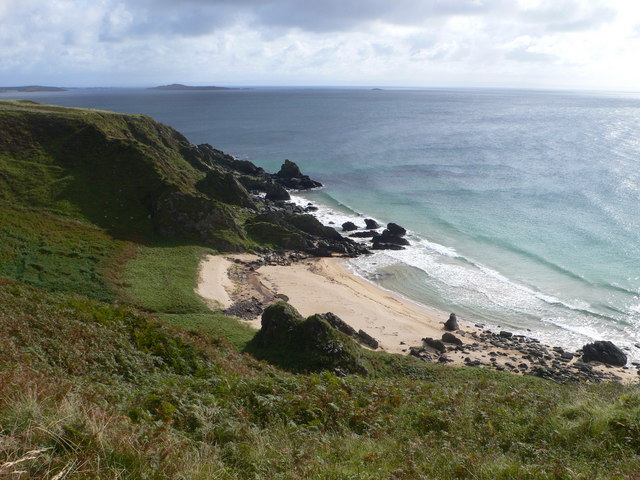
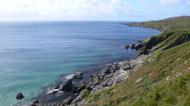
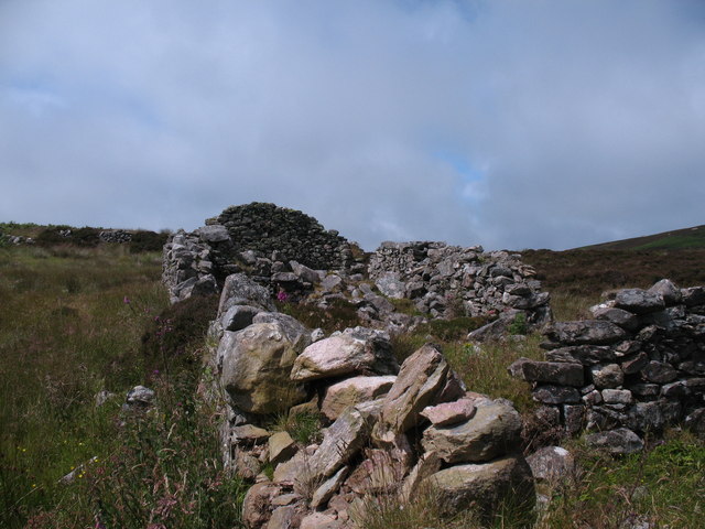
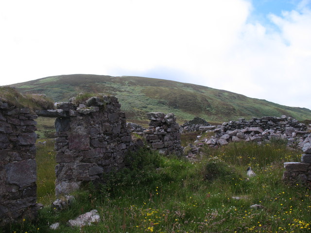
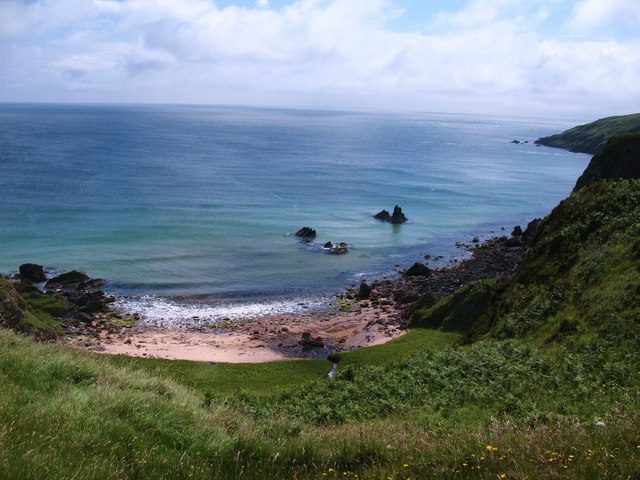
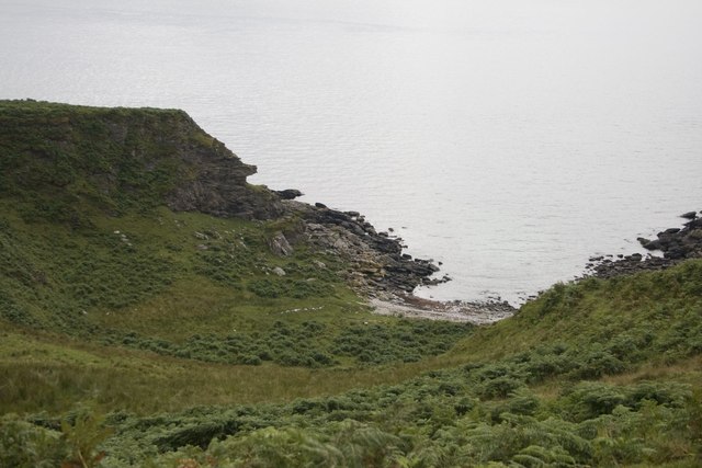
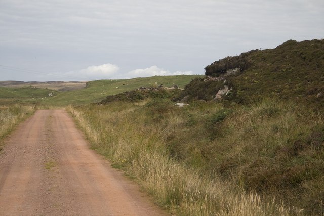
An Tarbh is a prominent headland located in Argyllshire, Scotland. Situated along the picturesque coastline, it juts out into the Atlantic Ocean, offering breathtaking views and a unique geological formation. The name "An Tarbh" translates to "The Bull" in English, reflecting the headland's rugged and imposing appearance.
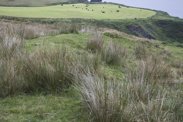
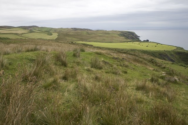
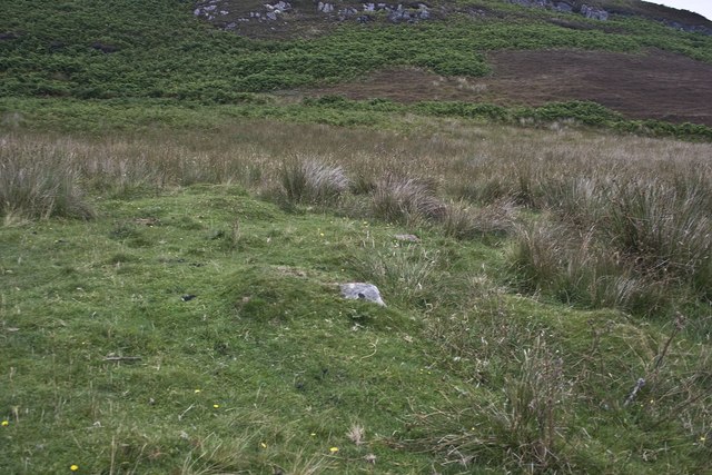
This coastal feature is known for its steep cliffs, which rise dramatically from the sea. The cliffs are composed of ancient rock formations, showcasing layers of sedimentary rock that have been shaped by millions of years of erosion. An Tarbh is a popular destination for geologists and nature enthusiasts who are keen to study the region's geological history.
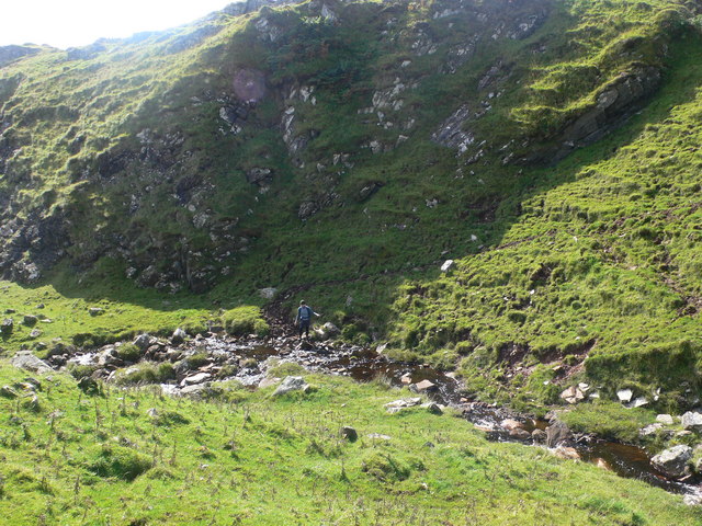
The headland also boasts a diverse range of flora and fauna. The cliff faces provide nesting sites for seabirds, including puffins, fulmars, and gulls. The surrounding waters are teeming with marine life, making it a prime spot for fishing and wildlife spotting. Visitors may even be lucky enough to spot seals or dolphins swimming in the nearby waters.
Access to An Tarbh is relatively straightforward, with a well-maintained footpath leading to the headland. From the top, visitors are rewarded with panoramic views of the surrounding coastline, the vast ocean, and the nearby islands. The headland's location, combined with its natural beauty and geological significance, make An Tarbh a must-visit destination for nature lovers and those seeking a peaceful retreat along the Argyllshire coast.
If you have any feedback on the listing, please let us know in the comments section below.
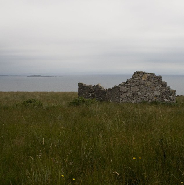
An Tarbh Images
Images are sourced within 2km of 55.59246/-6.238921 or Grid Reference NR3341. Thanks to Geograph Open Source API. All images are credited.
An Tarbh is located at Grid Ref: NR3341 (Lat: 55.59246, Lng: -6.238921)
Unitary Authority: Argyll and Bute
Police Authority: Argyll and West Dunbartonshire
What 3 Words
///cabs.exchanges.manifests. Near Port Ellen, Argyll & Bute
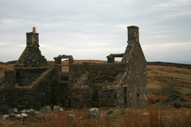
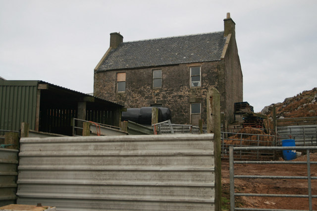
Nearby Locations
Related Wikis

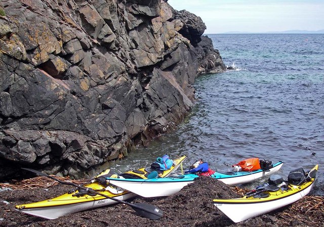
The Oa
The Oa ( OH) (Scottish Gaelic: An Obha) is a rocky peninsula in the southwest of the island of Islay, in Argyll, Scotland. It is an RSPB nature reserve...

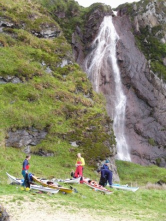
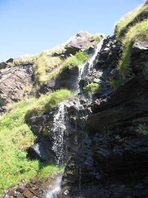
Eas Mòr, upper
Eas Mor is a waterfall is a waterfall on the Abhainn Ghil on the island of Islay in Scotland. It lies on The Oa peninsula south of Giol and west of Lenavore...

St John's Church, Port Ellen
St John's Church, Port Ellen is a Category B listed building in Port Ellen, Islay, Argyll and Bute, Scotland. == History == The memorial stone for the...

Port Ellen distillery
Port Ellen distillery is located in Port Ellen on the isle of Islay, Scotland. It initially operated between 1825 and 1983 when production shut down....

Port Ellen
Port Ellen (Scottish Gaelic: Port Ìlein) is a small town on the island of Islay, in Argyll, Scotland. The town is named after the wife of its founder,...
Eas Mòr, lower
Eas Mor (lower) is a waterfall on the Abhainn Ghil on the island of Islay, in Scotland. It lies on the west coast of The Oa peninsula north of Lower Killeyan...

Texa
Texa (Scottish Gaelic: Teacsa) is a small island 700 metres (3⁄8 mile) directly south of Islay, in the Inner Hebrides, Scotland. It reaches a height of...

Laphroaig distillery
Laphroaig distillery ( lə-FROYG) is an Islay single malt Scotch whisky distillery. It is named after the area of land at the head of Loch Laphroaig on...
Have you been to An Tarbh?
Leave your review of An Tarbh below (or comments, questions and feedback).