Stac Ridil
Island in Argyllshire
Scotland
Stac Ridil
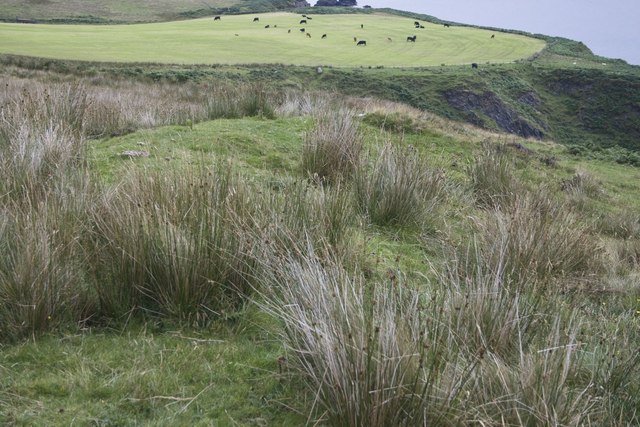
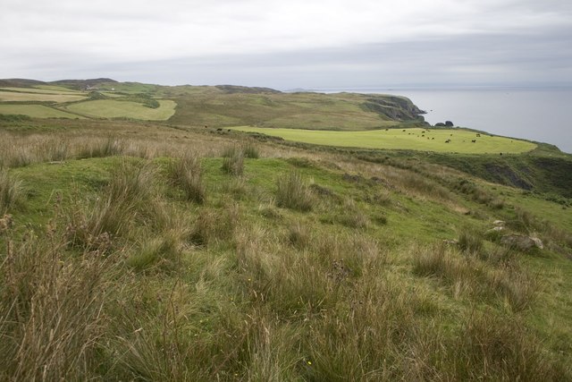
Stac Ridil is a small uninhabited island located off the coast of Argyllshire, Scotland. Situated in the Inner Hebrides, it is part of a group of islands known as the Treshnish Isles. Stac Ridil is the highest of all the Treshnish Isles, standing at an impressive height of 141 meters (463 feet).
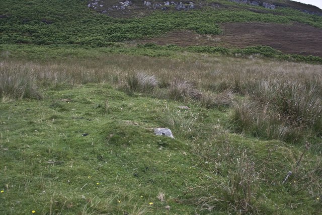
The island is characterized by its rugged and rocky terrain, with steep cliffs that provide nesting sites for a variety of seabirds such as puffins, guillemots, and razorbills. These birds can often be seen circling the island or diving into the surrounding waters in search of food.
Stac Ridil is also notable for its unique geological features. The island is composed primarily of volcanic rock, formed millions of years ago during volcanic activity in the region. As a result, the island's landscape is marked by striking rock formations, including towering stacks and sea caves, which are popular among adventurous visitors.
Due to its remote location and lack of facilities, Stac Ridil is not easily accessible by land. However, boat trips or guided tours from neighboring islands like Mull or Iona offer visitors the opportunity to witness the island's natural beauty up close.
Overall, Stac Ridil is a fascinating and picturesque island that showcases the raw and untouched beauty of Scotland's west coast. Its dramatic cliffs, abundant birdlife, and intriguing geology make it a must-visit destination for nature enthusiasts and outdoor adventurers.
If you have any feedback on the listing, please let us know in the comments section below.
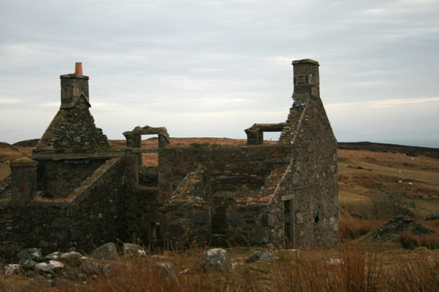
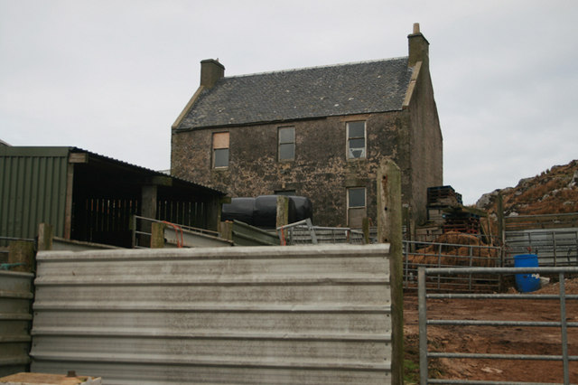
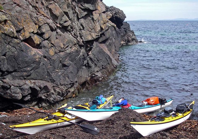
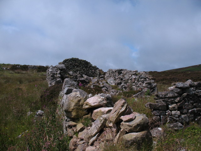
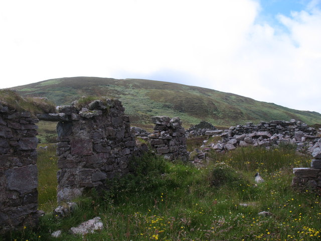
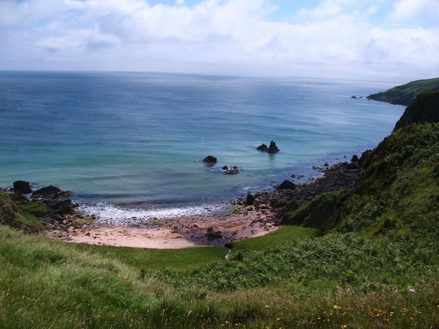
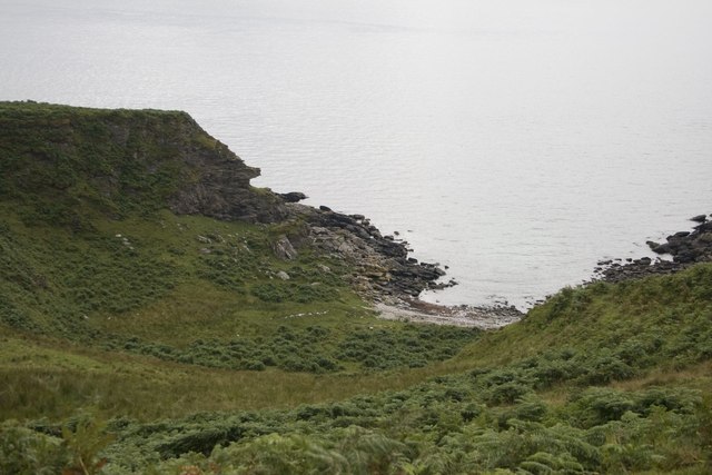
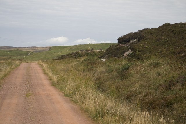
Stac Ridil Images
Images are sourced within 2km of 55.595086/-6.2368697 or Grid Reference NR3341. Thanks to Geograph Open Source API. All images are credited.


Stac Ridil is located at Grid Ref: NR3341 (Lat: 55.595086, Lng: -6.2368697)
Unitary Authority: Argyll and Bute
Police Authority: Argyll and West Dunbartonshire
What 3 Words
///grills.liver.vies. Near Port Ellen, Argyll & Bute
Nearby Locations
Related Wikis

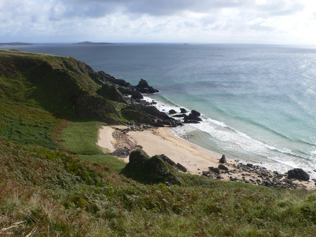
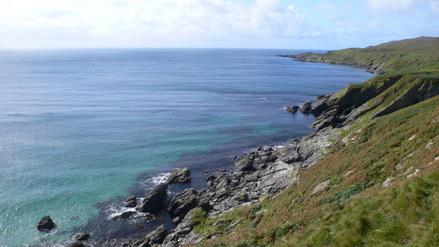
The Oa
The Oa ( OH) (Scottish Gaelic: An Obha) is a rocky peninsula in the southwest of the island of Islay, in Argyll, Scotland. It is an RSPB nature reserve...

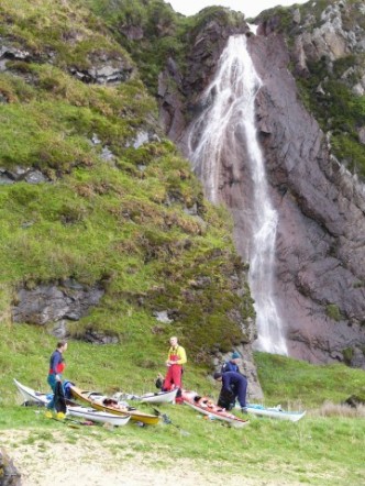
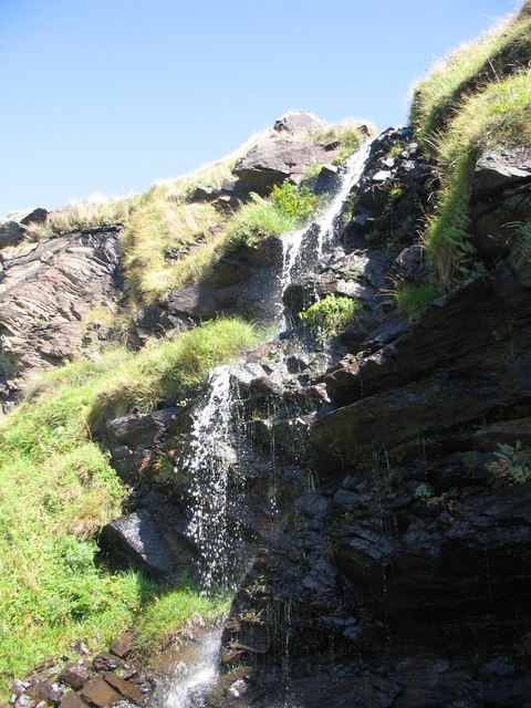
Eas Mòr, upper
Eas Mor is a waterfall is a waterfall on the Abhainn Ghil on the island of Islay in Scotland. It lies on The Oa peninsula south of Giol and west of Lenavore...

Port Ellen distillery
Port Ellen distillery is located in Port Ellen on the isle of Islay, Scotland. It initially operated between 1825 and 1983 when production shut down....

St John's Church, Port Ellen
St John's Church, Port Ellen is a Category B listed building in Port Ellen, Islay, Argyll and Bute, Scotland. == History == The memorial stone for the...
Have you been to Stac Ridil?
Leave your review of Stac Ridil below (or comments, questions and feedback).