Stac Chùil na Spuirn
Coastal Feature, Headland, Point in Argyllshire
Scotland
Stac Chùil na Spuirn
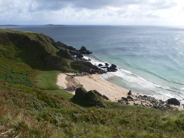
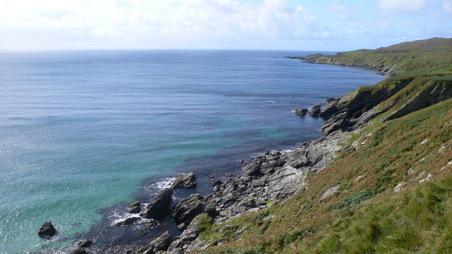
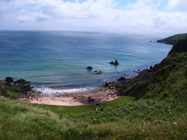
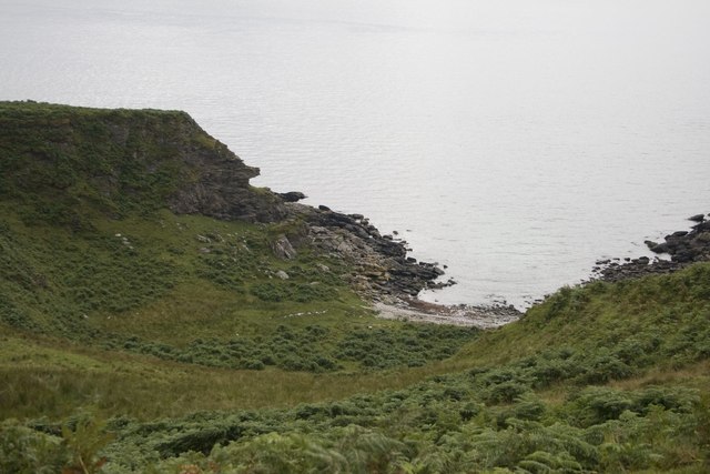
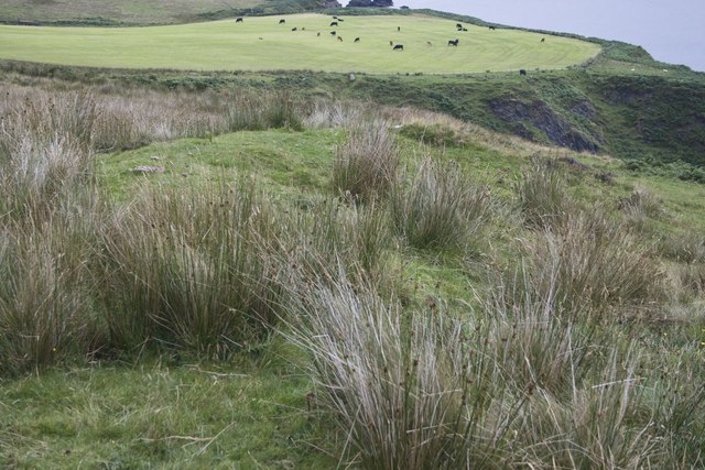
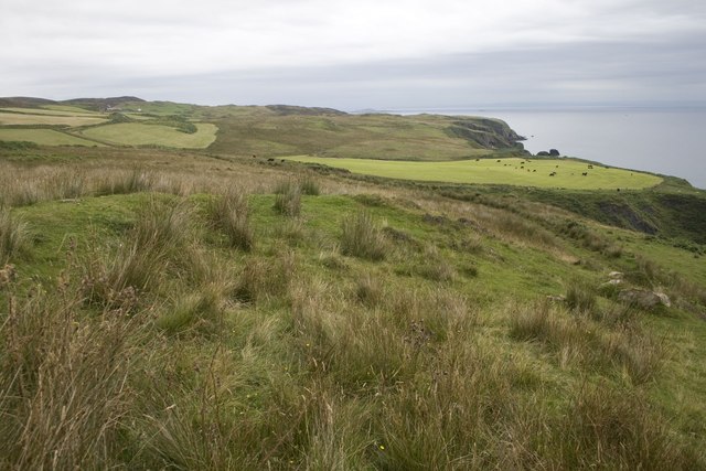
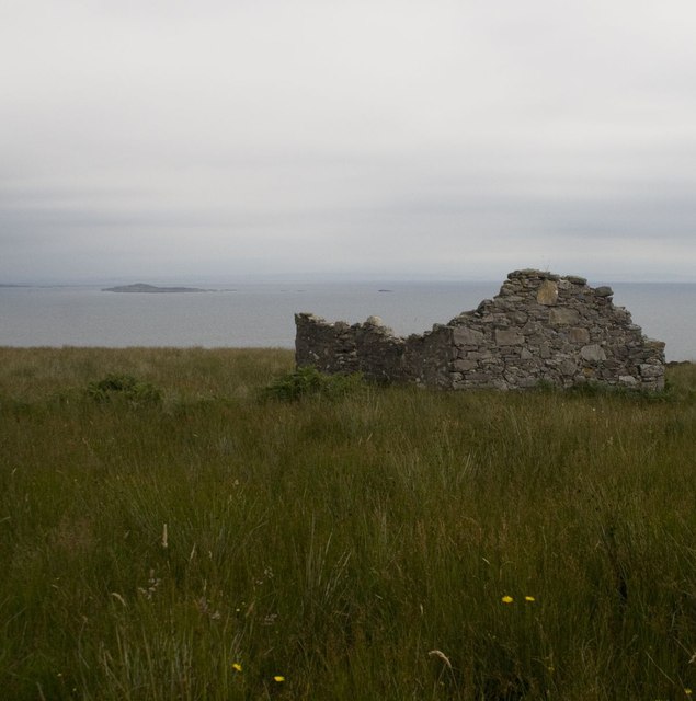
Stac Chùil na Spuirn is a prominent headland located in Argyllshire, Scotland. Situated on the west coast of the country, this coastal feature offers breathtaking views of the surrounding landscape and the vast Atlantic Ocean. The name "Stac Chùil na Spuirn" translates to "stack at the back of the spurs," which aptly describes its geographical characteristics.
Rising to a height of approximately 100 meters (328 feet), Stac Chùil na Spuirn is a striking rock formation that juts out into the sea, creating a dramatic and imposing presence. The headland is characterized by steep cliffs that provide nesting grounds for various bird species, including gulls and fulmars. These cliffs also serve as a habitat for numerous marine creatures, such as seals and dolphins, which can often be spotted swimming in the waters below.
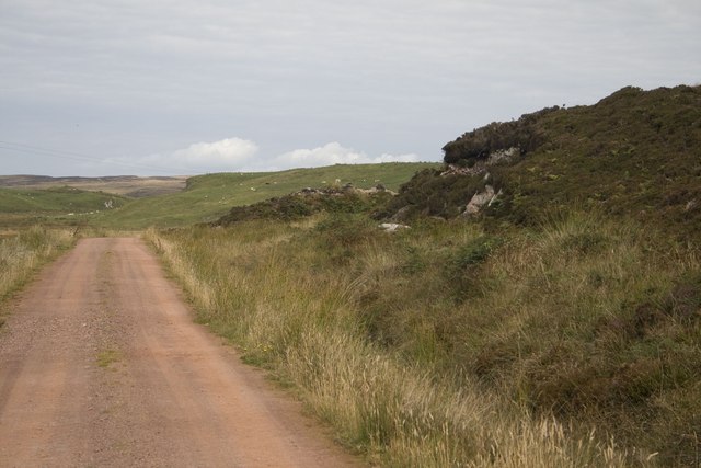
The headland offers visitors a range of outdoor activities, including hiking and birdwatching. There are several well-maintained walking trails that lead to the summit, providing hikers with stunning panoramic views of the Argyllshire coastline and the nearby islands of Mull and Jura. The area is also popular among photographers, who are drawn to the rugged beauty and unique geological features of Stac Chùil na Spuirn.
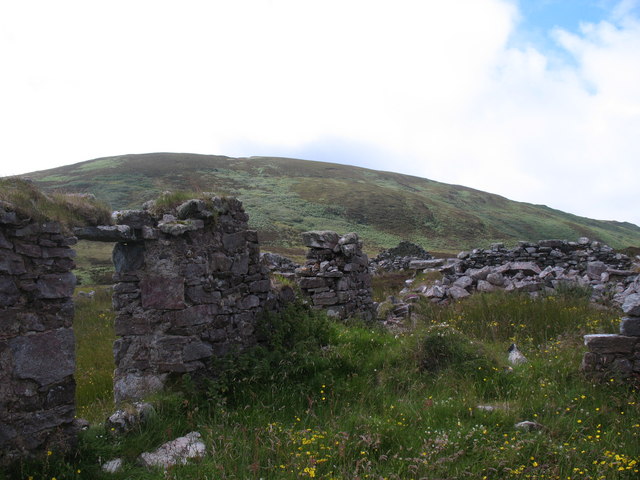
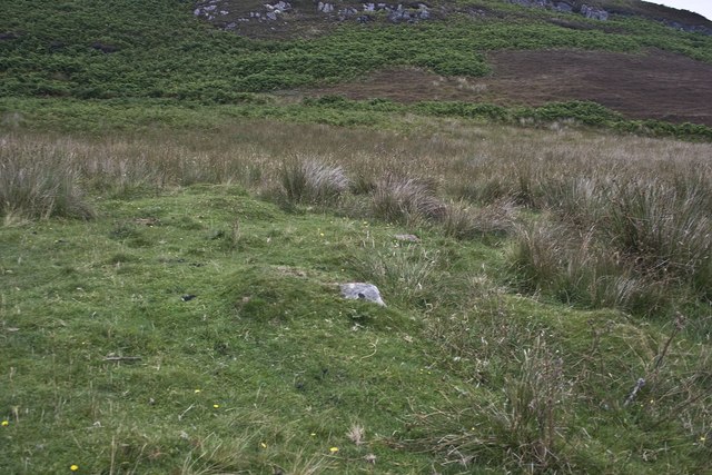
Access to Stac Chùil na Spuirn is fairly straightforward, with a car park located nearby and signposted paths leading towards the headland. The surrounding area is known for its rich history and cultural heritage, making it an ideal destination for those interested in exploring Scotland's ancient past. Overall, Stac Chùil na Spuirn is a captivating coastal feature that offers visitors a chance to immerse themselves in the natural beauty and rich biodiversity of the Scottish coastline.
If you have any feedback on the listing, please let us know in the comments section below.
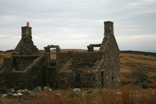
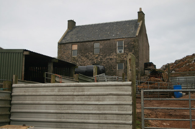
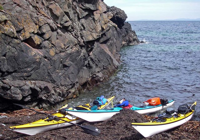
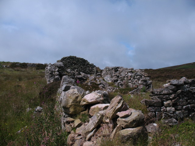
Stac Chùil na Spuirn Images
Images are sourced within 2km of 55.592827/-6.2387382 or Grid Reference NR3341. Thanks to Geograph Open Source API. All images are credited.

Stac Chùil na Spuirn is located at Grid Ref: NR3341 (Lat: 55.592827, Lng: -6.2387382)
Unitary Authority: Argyll and Bute
Police Authority: Argyll and West Dunbartonshire
What 3 Words
///twee.wriggled.contact. Near Port Ellen, Argyll & Bute
Nearby Locations
Related Wikis

The Oa
The Oa ( OH) (Scottish Gaelic: An Obha) is a rocky peninsula in the southwest of the island of Islay, in Argyll, Scotland. It is an RSPB nature reserve...

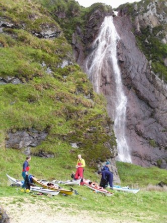
Eas Mòr, upper
Eas Mor is a waterfall is a waterfall on the Abhainn Ghil on the island of Islay in Scotland. It lies on The Oa peninsula south of Giol and west of Lenavore...

St John's Church, Port Ellen
St John's Church, Port Ellen is a Category B listed building in Port Ellen, Islay, Argyll and Bute, Scotland. == History == The memorial stone for the...

Port Ellen distillery
Port Ellen distillery is located in Port Ellen on the isle of Islay, Scotland. It initially operated between 1825 and 1983 when production shut down....

Port Ellen
Port Ellen (Scottish Gaelic: Port Ìlein) is a small town on the island of Islay, in Argyll, Scotland. The town is named after the wife of its founder,...
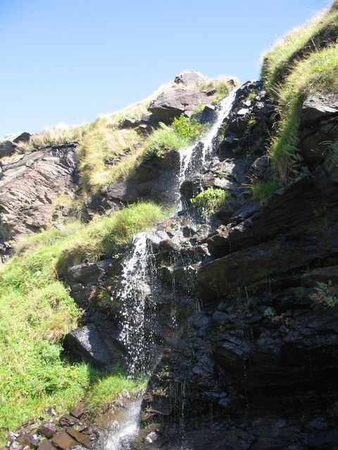
Eas Mòr, lower
Eas Mor (lower) is a waterfall on the Abhainn Ghil on the island of Islay, in Scotland. It lies on the west coast of The Oa peninsula north of Lower Killeyan...

Texa
Texa (Scottish Gaelic: Teacsa) is a small island 700 metres (3⁄8 mile) directly south of Islay, in the Inner Hebrides, Scotland. It reaches a height of...

Laphroaig distillery
Laphroaig distillery ( lə-FROYG) is an Islay single malt Scotch whisky distillery. It is named after the area of land at the head of Loch Laphroaig on...
Have you been to Stac Chùil na Spuirn?
Leave your review of Stac Chùil na Spuirn below (or comments, questions and feedback).