Bratag
Coastal Feature, Headland, Point in Ross-shire
Scotland
Bratag

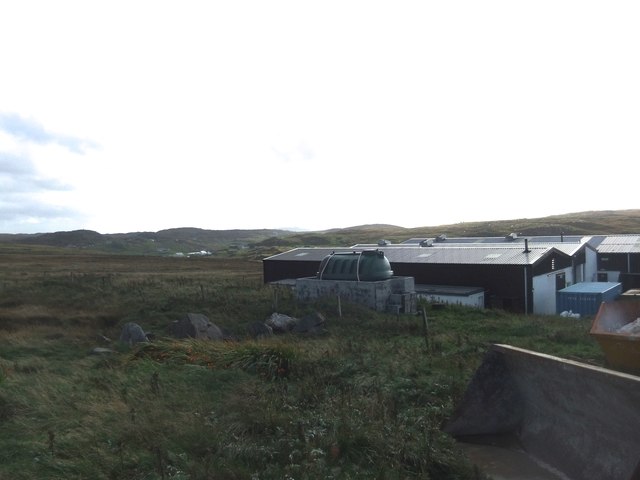
Located in Ross-shire, Scotland, Bratag is a prominent coastal feature that stands out as a headland jutting out into the sea. This picturesque point offers stunning views of the surrounding landscape and is a popular destination for both locals and tourists seeking natural beauty and tranquility.
Characterized by its rugged cliffs and rocky terrain, Bratag is a testament to the forces of nature that have shaped the Scottish coastline over thousands of years. The headland is composed of various types of rock, including sandstone and granite, which have been eroded by the relentless crashing of waves. This erosion has created distinctive features such as sea stacks and caves, adding to the charm of Bratag.
The headland's exposed location makes it a prime spot for observing marine wildlife. Visitors often catch glimpses of seabirds soaring overhead, including gannets, puffins, and kittiwakes. The surrounding waters are also home to a diverse range of marine species, from seals and dolphins to various types of fish and crustaceans.
Bratag is easily accessible, with a well-maintained path that leads visitors along the edge of the headland. Hikers and nature enthusiasts can enjoy a leisurely stroll while taking in the breathtaking views of the North Sea. The headland is also a favorite spot for photographers, who are drawn to its dramatic cliffs and the ever-changing interplay of light and water.
In conclusion, Bratag in Ross-shire is a captivating coastal feature that offers visitors a chance to immerse themselves in the beauty of Scotland's rugged coastline. With its stunning cliffs, diverse wildlife, and mesmerizing views, Bratag is a must-visit destination for all nature lovers.
If you have any feedback on the listing, please let us know in the comments section below.
Bratag Images
Images are sourced within 2km of 58.291416/-6.8100809 or Grid Reference NB1843. Thanks to Geograph Open Source API. All images are credited.


Bratag is located at Grid Ref: NB1843 (Lat: 58.291416, Lng: -6.8100809)
Unitary Authority: Na h-Eileanan an Iar
Police Authority: Highlands and Islands
What 3 Words
///customers.nerd.towel. Near Carloway, Na h-Eileanan Siar
Nearby Locations
Related Wikis

Garenin
Garenin (Scottish Gaelic: Na Gearrannan) is a crofting township on the west coast of the Isle of Lewis in the Outer Hebrides of Scotland. Garenin is in...

Borrowston, Lewis
Borrowston (Scottish Gaelic: Borghastan), with a population of about 50, is a crofting township situated on the Isle of Lewis, on the Outer Hebrides of...

Dun Carloway
Dun Carloway (Scottish Gaelic: Dùn Chàrlabhaigh) is a broch situated in the district of Carloway, on the west coast of the Isle of Lewis, Scotland (grid...

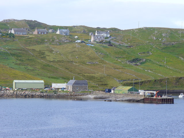
Carloway
Carloway (Scottish Gaelic: Càrlabhagh [ˈkʰaːɾɫ̪ə.ɤː]) is a crofting township and a district on the west coast of the Isle of Lewis, in the Outer Hebrides...
Related Videos

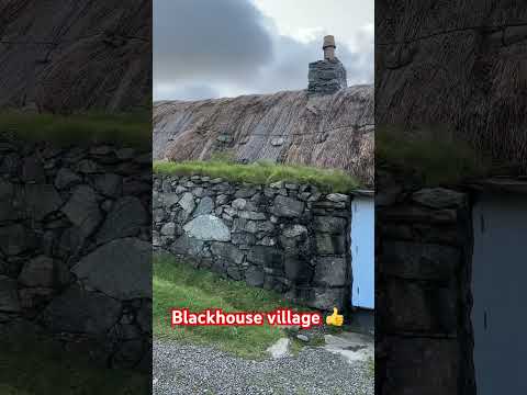
Gearrannan village of traditional houses
Gearrannan Black House village on the Isle of Lewis.
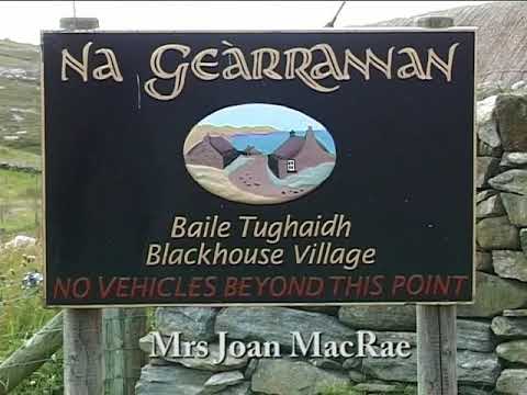
Pipe Major Bill Hepburn Jnr. at the Black Houses, Na Gearrannan, Isle of Lewis - 'Mrs Joan Macrae'.
Pipe Major Bill Hepburn Jnr. plays the pipe tune 'Mrs Joan Macrae' at the Black Houses of Na Gearrannan on the west coast of ...
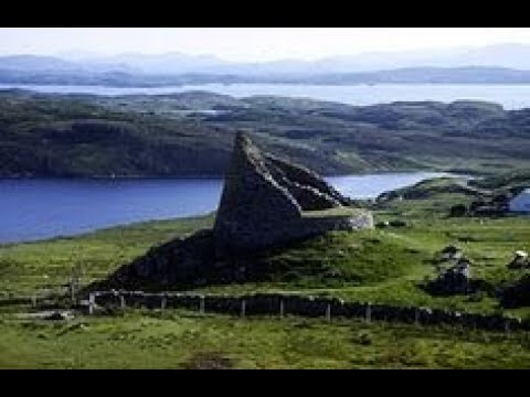
Dun Carloway Broch On Visit To Isle Of Lewis Outer Hebrides Scotland
Tour Scotland travel video, with Scottish music, of Dun Carloway Broch, Scottish Gaelic: Dùn Chàrlabhaigh, on visit to the west ...
Have you been to Bratag?
Leave your review of Bratag below (or comments, questions and feedback).