Carnan Mòr
Coastal Feature, Headland, Point in Ross-shire
Scotland
Carnan Mòr

Carnan Mòr is a prominent headland located in Ross-shire, Scotland. Situated on the northwest coast of the country, it juts out into the North Atlantic Ocean, offering breathtaking views of the surrounding landscape. The headland is known for its rugged cliffs, which rise dramatically from the sea and provide a nesting habitat for a variety of seabirds.
Carnan Mòr is characterized by its rocky terrain, with jagged cliffs that reach heights of up to 200 feet. The headland is composed of ancient volcanic rocks, which have been shaped by thousands of years of erosion from wind and waves. The exposed cliffs are a testament to the power of nature and offer a glimpse into the geological history of the region.
The headland is a popular destination for hikers and nature enthusiasts, who are drawn to its stunning natural beauty and diverse wildlife. Along the coastal path, visitors can spot seabirds such as puffins, guillemots, and razorbills nesting on the cliff ledges. The surrounding waters are also home to seals, dolphins, and occasional sightings of minke whales.
Carnan Mòr is easily accessible by car, with a parking area located nearby. From there, visitors can embark on a scenic walk along the coastal path, taking in the panoramic views of the ocean and surrounding coastline. The headland is a perfect spot for photographers, offering ample opportunities to capture the dramatic beauty of the Scottish coast.
Overall, Carnan Mòr is a captivating coastal feature that showcases the raw power of nature and provides a haven for diverse wildlife. It is a must-visit destination for anyone seeking to explore the rugged beauty of the Scottish coastline.
If you have any feedback on the listing, please let us know in the comments section below.
Carnan Mòr Images
Images are sourced within 2km of 58.191997/-6.8463864 or Grid Reference NB1532. Thanks to Geograph Open Source API. All images are credited.


Carnan Mòr is located at Grid Ref: NB1532 (Lat: 58.191997, Lng: -6.8463864)
Unitary Authority: Na h-Eileanan an Iar
Police Authority: Highlands and Islands
What 3 Words
///prospers.support.clipboard. Near Carloway, Na h-Eileanan Siar
Nearby Locations
Related Wikis

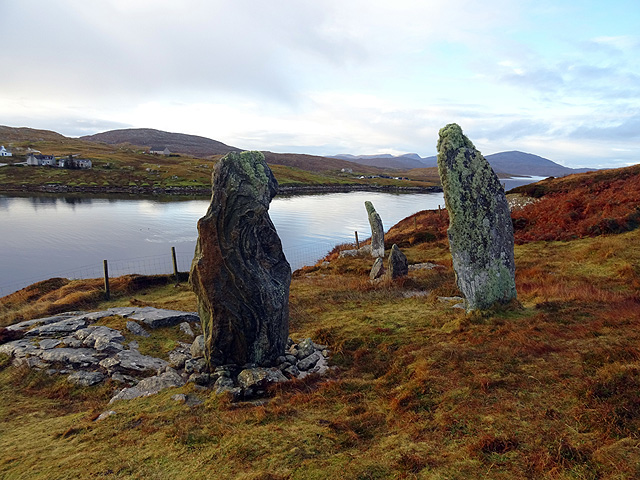
Callanish VIII
The Callanish VIII stone setting is one of many megalithic structures around the better-known (and larger) Calanais I on the west coast of the Isle of...

Dun Bharabhat, Great Bernera
Dun Bharabhat (or Dun Baravat) is an Iron Age galleried dun or "semi-broch" situated on the island of Great Bernera near Lewis in Scotland (grid reference...

Loch Ròg
Loch Ròg or Loch Roag is a large sea loch on the west coast of Lewis, Outer Hebrides. It is broadly divided into East Loch Roag and West Loch Roag with...
Fuaigh Beag
Fuaigh Beag or Vuia Be(a)g is an island in the Outer Hebrides. It is off the west coast of Lewis near Great Bernera in Loch Roag. Its name means "little...
Nearby Amenities
Located within 500m of 58.191997,-6.8463864Have you been to Carnan Mòr?
Leave your review of Carnan Mòr below (or comments, questions and feedback).