Loch Ruadh
Lake, Pool, Pond, Freshwater Marsh in Ross-shire
Scotland
Loch Ruadh
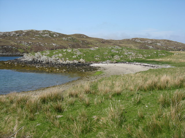
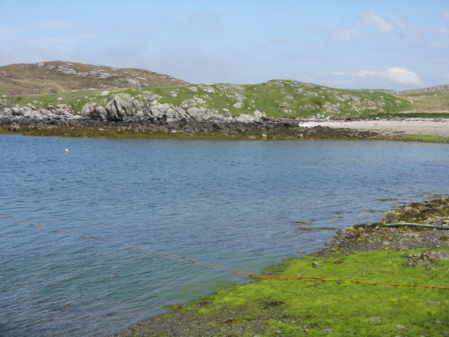
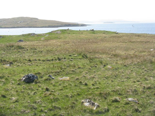
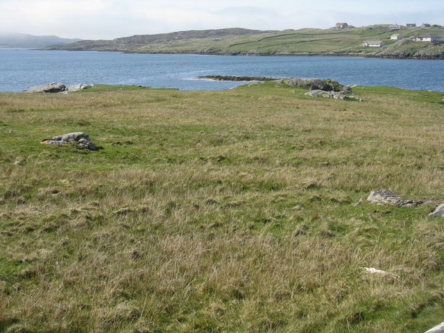
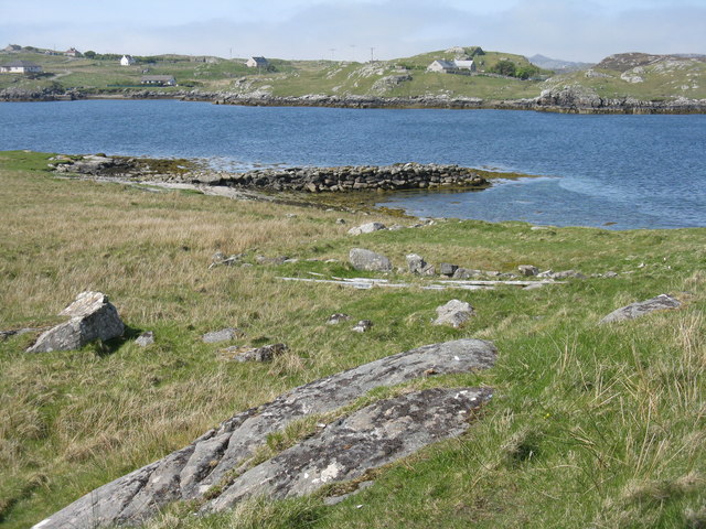
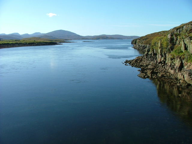
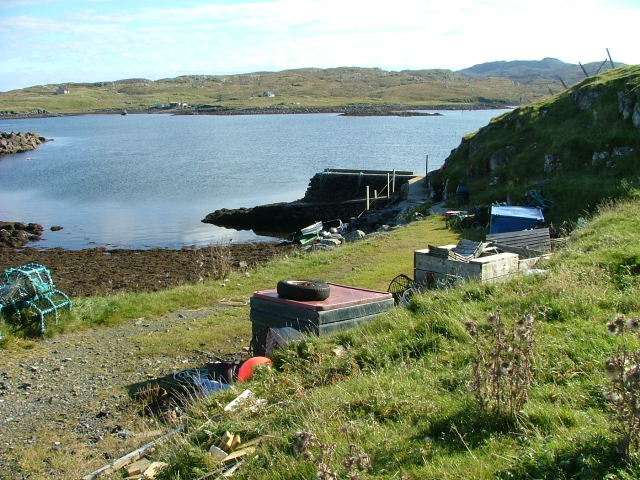
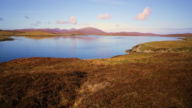
Loch Ruadh, located in Ross-shire, Scotland, is a stunning freshwater lake nestled amidst picturesque surroundings. Spanning an area of approximately 50 hectares, the loch is known for its tranquility and outstanding natural beauty. Surrounded by lush greenery and rolling hills, it offers a serene escape for visitors seeking solace in nature.
The loch's crystal-clear waters are home to a diverse range of freshwater flora and fauna. It is a popular spot for anglers, as it boasts a healthy population of fish species such as brown trout, pike, and perch. Fishing enthusiasts can often be seen casting their lines from the shore or using small boats to explore the deeper sections of the loch.
Loch Ruadh also provides a haven for numerous bird species, making it a paradise for birdwatchers. The surrounding wetlands and marshes attract a variety of waterfowl, including ducks, swans, and herons. Visitors can observe these magnificent creatures in their natural habitat, creating a truly captivating experience.
For those seeking recreational activities, Loch Ruadh offers opportunities for kayaking, canoeing, and even wild swimming during the warmer months. Exploring the calm waters while surrounded by the breathtaking Scottish scenery is an unforgettable experience for adventure-seekers.
With its tranquil atmosphere and captivating surroundings, Loch Ruadh is not only a natural gem but also a place of great ecological importance. It serves as a vital habitat for various species and contributes to the overall biodiversity of the region. Whether you are an angler, birdwatcher, or simply a nature lover, a visit to Loch Ruadh is sure to leave a lasting impression.
If you have any feedback on the listing, please let us know in the comments section below.
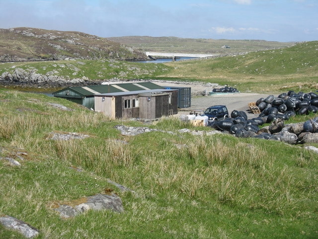
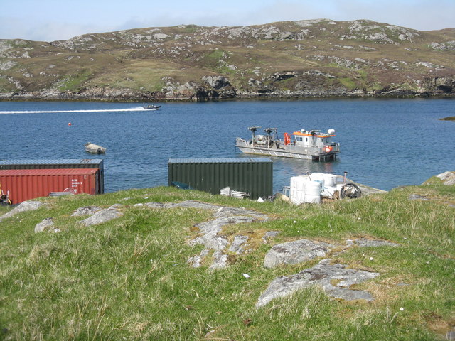
Loch Ruadh Images
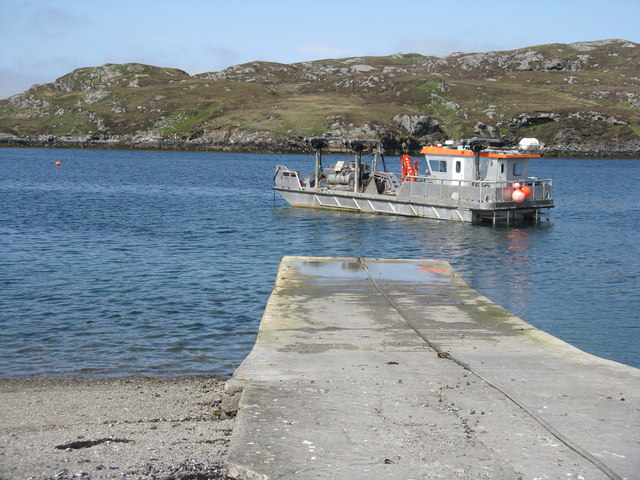
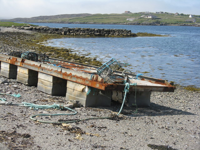
Images are sourced within 2km of 58.189778/-6.8510406 or Grid Reference NB1532. Thanks to Geograph Open Source API. All images are credited.
Loch Ruadh is located at Grid Ref: NB1532 (Lat: 58.189778, Lng: -6.8510406)
Unitary Authority: Na h-Eileanan an Iar
Police Authority: Highlands and Islands
What 3 Words
///siblings.weaned.condense. Near Carloway, Na h-Eileanan Siar
Nearby Locations
Related Wikis

Callanish VIII
The Callanish VIII stone setting is one of many megalithic structures around the better-known (and larger) Calanais I on the west coast of the Isle of...

Loch Ròg
Loch Ròg or Loch Roag is a large sea loch on the west coast of Lewis, Outer Hebrides. It is broadly divided into East Loch Roag and West Loch Roag with...
Fuaigh Beag
Fuaigh Beag or Vuia Be(a)g is an island in the Outer Hebrides. It is off the west coast of Lewis near Great Bernera in Loch Roag. Its name means "little...

Dun Bharabhat, Great Bernera
Dun Bharabhat (or Dun Baravat) is an Iron Age galleried dun or "semi-broch" situated on the island of Great Bernera near Lewis in Scotland (grid reference...
Have you been to Loch Ruadh?
Leave your review of Loch Ruadh below (or comments, questions and feedback).