Ben Torranish
Hill, Mountain in Ross-shire
Scotland
Ben Torranish

Ben Torranish is a prominent hill located in Ross-shire, Scotland. Rising to an elevation of 942 meters (3,091 feet), it is a popular destination for hikers, mountaineers, and nature enthusiasts. The hill is part of the Torridon mountain range and is situated in the northwest Highlands.
The terrain of Ben Torranish is characterized by steep slopes, rocky outcrops, and rugged ridges, offering a challenging and rewarding experience for climbers. The summit provides breathtaking panoramic views of the surrounding landscape, including Loch Torridon, the Isle of Skye, and the Inner Hebrides.
The ascent of Ben Torranish typically begins from the small village of Torridon, which serves as a base for many outdoor activities in the area. There are several well-marked trails leading to the summit, with varying levels of difficulty. The most popular route is the Coire Mhic Nobuil path, which offers a scenic and relatively straightforward climb.
The hill is home to a variety of flora and fauna, with heather, mosses, and grasses covering its slopes. Birdwatchers may spot golden eagles and peregrine falcons soaring above, while red deer and mountain hares are often seen on the lower slopes.
Ben Torranish is not only a natural wonder but also holds historical significance. The hill has been shaped by geological processes over millions of years, and its rocks bear evidence of ancient volcanic activity.
Overall, Ben Torranish is a captivating destination for outdoor enthusiasts seeking a challenging climb, stunning vistas, and a chance to immerse themselves in the wild beauty of the Scottish Highlands.
If you have any feedback on the listing, please let us know in the comments section below.
Ben Torranish Images
Images are sourced within 2km of 58.191866/-6.8469988 or Grid Reference NB1532. Thanks to Geograph Open Source API. All images are credited.


Ben Torranish is located at Grid Ref: NB1532 (Lat: 58.191866, Lng: -6.8469988)
Unitary Authority: Na h-Eileanan an Iar
Police Authority: Highlands and Islands
What 3 Words
///messy.removals.blotchy. Near Carloway, Na h-Eileanan Siar
Nearby Locations
Related Wikis

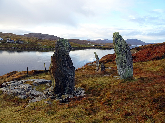
Callanish VIII
The Callanish VIII stone setting is one of many megalithic structures around the better-known (and larger) Calanais I on the west coast of the Isle of...

Dun Bharabhat, Great Bernera
Dun Bharabhat (or Dun Baravat) is an Iron Age galleried dun or "semi-broch" situated on the island of Great Bernera near Lewis in Scotland (grid reference...

Loch Ròg
Loch Ròg or Loch Roag is a large sea loch on the west coast of Lewis, Outer Hebrides. It is broadly divided into East Loch Roag and West Loch Roag with...
Fuaigh Beag
Fuaigh Beag or Vuia Be(a)g is an island in the Outer Hebrides. It is off the west coast of Lewis near Great Bernera in Loch Roag. Its name means "little...
Fuaigh Mòr
Fuaigh Mòr (sometimes anglicised as Vuia Mor) is an island in the Outer Hebrides of Scotland. It is off the west coast of Lewis near Great Bernera in...
Great Bernera
Great Bernera (; Scottish Gaelic: Beàrnaraigh Mòr), often known just as Bernera (Scottish Gaelic: Beàrnaraigh), is an island and community in the Outer...

Breaclete
Breacleit (or Roulanish; Scottish Gaelic: Breacleit; Old Norse: Breiðiklettr) is the central village on Great Bernera in the Outer Hebrides, Scotland....
Eilean Chearstaidh
Eilean Kearstay (Scottish Gaelic: Eilean Chearstaigh) is an uninhabited island in Loch Roag in the Outer Hebrides of Scotland. It lies south east of Great...
Nearby Amenities
Located within 500m of 58.191866,-6.8469988Have you been to Ben Torranish?
Leave your review of Ben Torranish below (or comments, questions and feedback).