Gob an Tarcall

Coastal Feature, Headland, Point in Inverness-shire

Scotland

Gob an Tarcall

View south towards Beinn Losgaintir View across a small Lochan towards Beinn Losgaintir. This Lochan and flat stony area is actually between Beinn Losgaintir and Beinn Dhubh (which was behind the photographer)
View south towards Beinn Losgaintir Credit: Stuart Fisher

Located in Inverness-shire, Scotland, Gob an Tarcall is a prominent coastal feature that encompasses a headland and point. The name "Gob an Tarcall" is derived from the Scottish Gaelic language, meaning "mouth of the loud noise," which accurately describes the mesmerizing sounds of crashing waves against the rugged cliffs.

Situated on the northwest coast of Scotland, Gob an Tarcall offers breathtaking views of the North Atlantic Ocean. The headland juts out into the sea, forming a dramatic cliff face that rises majestically from the water. The cliffs, composed of ancient rock formations, showcase a stunning array of colors, ranging from deep reds to rich browns. This geological wonder is a result of millions of years of erosion and weathering.

The point at Gob an Tarcall is an important landmark for seafarers, as it serves as a navigational guide for ships approaching the nearby harbor of Inverness. The point is also home to a diverse range of seabirds, including puffins, gannets, and fulmars. Birdwatchers flock to this area to catch a glimpse of these fascinating creatures in their natural habitat.

Due to its exposed location, Gob an Tarcall experiences strong winds and rough seas, making it a popular spot for adventurous surfers and water sports enthusiasts. However, caution is advised, as the powerful currents can be treacherous for swimmers and inexperienced individuals.

Visitors to Gob an Tarcall can explore the surrounding coastal trails, which offer panoramic vistas of the ocean and the stunning Scottish Highlands. The area is also rich in flora and fauna, with heather-covered moorlands and wildflowers dotting the landscape.

Gob an Tarcall is an awe-inspiring coastal feature that embodies the natural beauty and ruggedness of the Scottish coast. It is a must-visit destination for nature lovers, hikers, and those seeking a unique and unforgettable experience along the shores of In

If you have any feedback on the listing, please let us know in the comments section below.

Gob an Tarcall Images

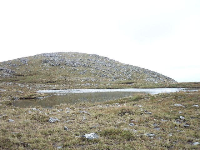
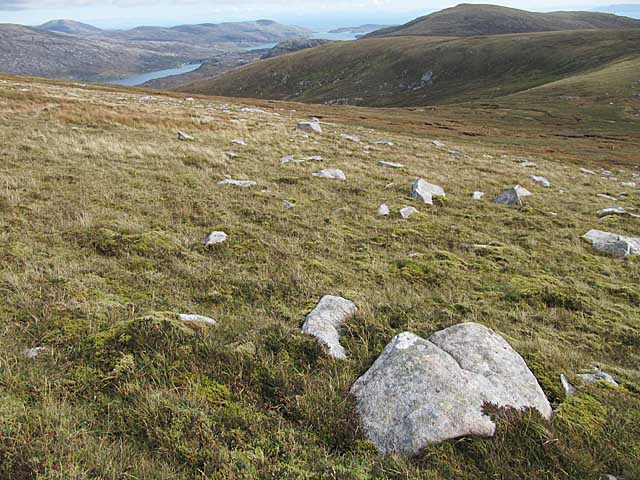
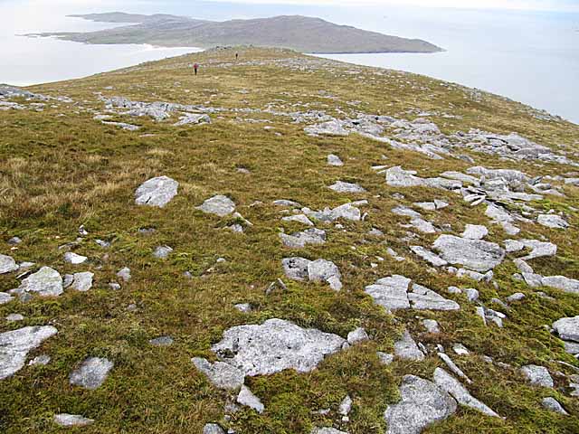
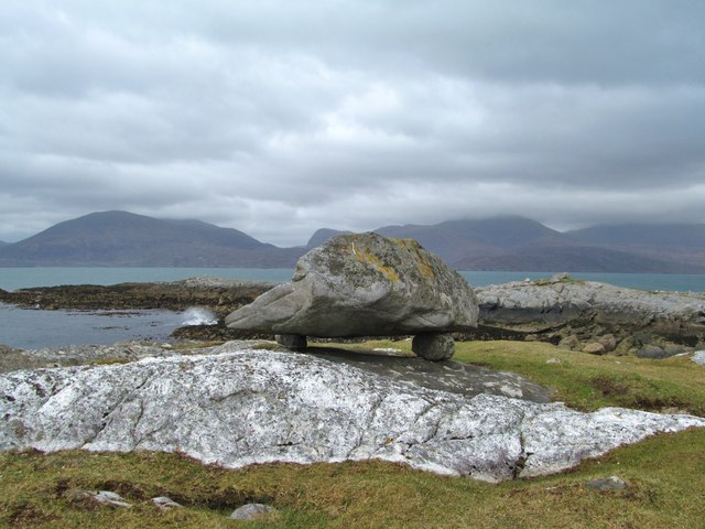
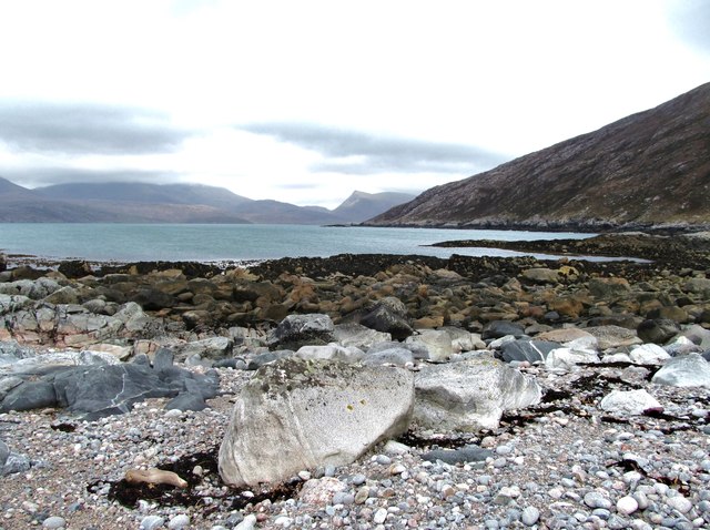
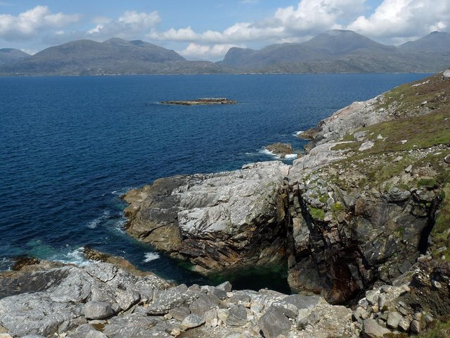
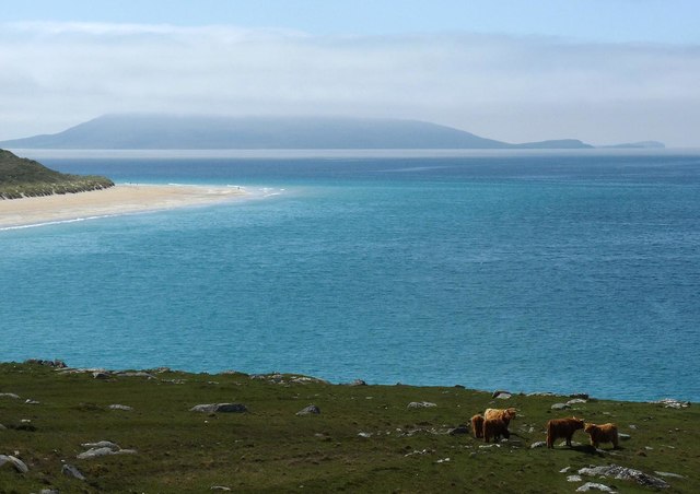
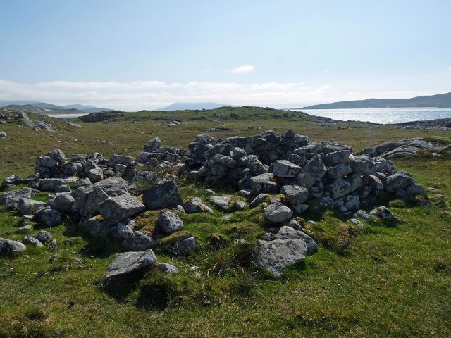
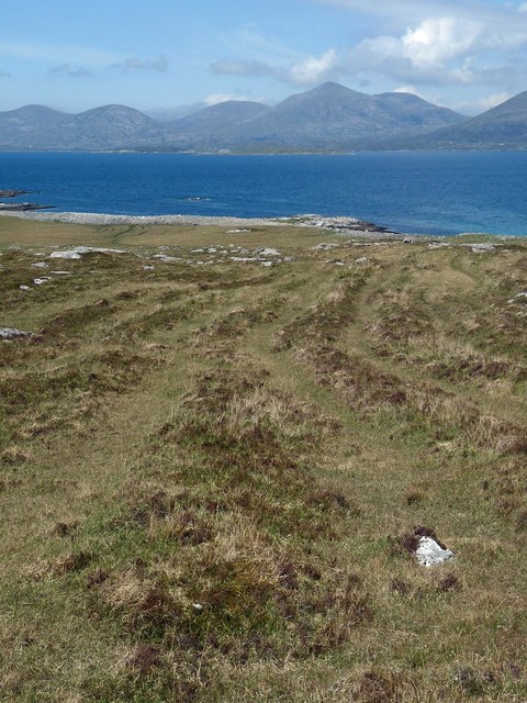
Images are sourced within 2km of 57.910064/-6.9236808 or Grid Reference NB0801. Thanks to Geograph Open Source API. All images are credited.
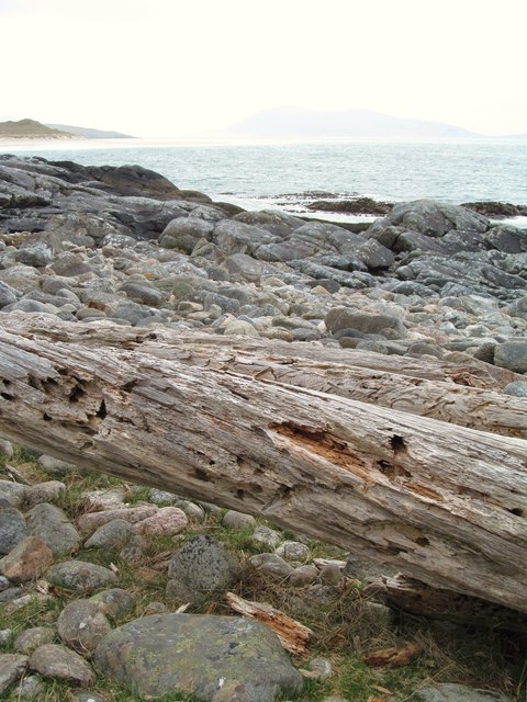
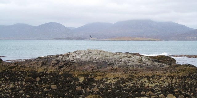
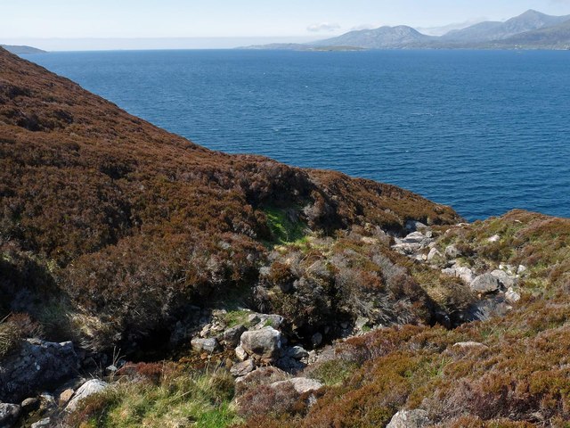
View south towards Beinn Losgaintir View across a small Lochan towards Beinn Losgaintir. This Lochan and flat stony area is actually between Beinn Losgaintir and Beinn Dhubh (which was behind the photographer)
View south towards Beinn Losgaintir
View across a small Lochan towards Beinn Losgaintir. This Lochan and flat stony area is actually between Beinn Losgaintir and Beinn Dhubh (which was behind the photographer)
Moorland on Beinn Dhubh, Harris
View west from Beinn Dhubh, Harris Looking towards the island of Taransay.
View west from Beinn Dhubh, Harris
Looking towards the island of Taransay.
Driftwood on the shore One wonders how far these worm ridden tree trunks might have travelled to be washed up on the rocky shores of Harris.
Driftwood on the shore
One wonders how far these worm ridden tree trunks might have travelled to be washed up on the rocky shores of Harris.
Mol nan Stop The rocky headland at Mol nan Stop, looking across the waters to the hills of North Harris.
Mol nan Stop
The rocky headland at Mol nan Stop, looking across the waters to the hills of North Harris.
A very curious rock A large boulder perched on smaller rocks near to the point at Mol nan Stop.  How did it get here? It is too heavy to be manhandled, except maybe by the giant MacAskill <a href="https://www.geograph.org.uk/gridref/NF8980">NF8980</a> or Donald Mor Maclellan <a href="https://www.geograph.org.uk/gridref/NF7475">NF7475</a>. To be thrown up here by the waves seems very unlikely, so one is left with the theory that it is a perched block left here as a result of glacial action, as with the well known Norber Erratics in the Yorkshire Dales <a href="https://www.geograph.org.uk/gridref/SD7669">SD7669</a>.
A very curious rock
A large boulder perched on smaller rocks near to the point at Mol nan Stop. How did it get here? It is too heavy to be manhandled, except maybe by the giant MacAskill NF8980 or Donald Mor Maclellan NF7475. To be thrown up here by the waves seems very unlikely, so one is left with the theory that it is a perched block left here as a result of glacial action, as with the well known Norber Erratics in the Yorkshire Dales SD7669.
Mol an Tighe Rocky shoreline at Mol an Tighe. Many colours and varieties of Lewisian Gneiss are on display here.
Mol an Tighe
Rocky shoreline at Mol an Tighe. Many colours and varieties of Lewisian Gneiss are on display here.
Rocky coastline at Mol an Tighe Looking across the rocky shoreline at Mol an Tighe towards the shapely peak of Sgaoth Iosal [531m] which is to the north of Tarbert.
Rocky coastline at Mol an Tighe
Looking across the rocky shoreline at Mol an Tighe towards the shapely peak of Sgaoth Iosal [531m] which is to the north of Tarbert.
Tartur Geo, Tarcall, Harris Looking towards the skerry, Sgeir Tarcall, and beyond to the mountains of North Harris.
Tartur Geo, Tarcall, Harris
Looking towards the skerry, Sgeir Tarcall, and beyond to the mountains of North Harris.
The Uisg a' Ri, Tarcall, Harris Looking across Loch a' Sair towards the mountains of North Harris.
The Uisg a' Ri, Tarcall, Harris
Looking across Loch a' Sair towards the mountains of North Harris.
Cattle above the Sound of Taransay/Caolas Tharasaigh, Harris Looking towards Tràigh Rosamol and Toe Head/Gob an Tobha beyond.
Cattle above the Sound of Taransay/Caolas Tharasaigh, Harris
Looking towards Tràigh Rosamol and Toe Head/Gob an Tobha beyond.
Ruined building, Àird Grothadnais, Harris The building lies adjacent to the field bounded by the wall shown at <a href="https://www.geograph.org.uk/photo/1518354">NB0601 : Ancient wall and Beinn Dubh</a>.
Ruined building, Àird Grothadnais, Harris
The building lies adjacent to the field bounded by the wall shown at NB0601 : Ancient wall and Beinn Dubh.
Lazy beds above Mol nan Stòp, Harris Looking across Loch a Siar towards the peaks of North Harris.  The highest peak is Tiorga Mòr.
Lazy beds above Mol nan Stòp, Harris
Looking across Loch a Siar towards the peaks of North Harris. The highest peak is Tiorga Mòr.
Beinn Dhubh, from the road to Luskentyre Rocky moorland/grassland of the Frith Losgaintir
Beinn Dhubh, from the road to Luskentyre
Rocky moorland/grassland of the Frith Losgaintir
Mol nan Stòp
Mol nan Stòp
Old dry stone wall, Mol an Tighe
Beinn Dhubh trig point
Sgeir Tarcall
Sgeir Tarcall
Show me another place!

Gob an Tarcall is located at Grid Ref: NB0801 (Lat: 57.910064, Lng: -6.9236808)

Unitary Authority: Na h-Eileanan an Iar

Police Authority: Highlands and Islands

What 3 Words

///looks.interacts.touchy. Near Tarbert, Na h-Eileanan Siar

Related Wikis

West Loch Tarbert

West Loch Tarbert (Scottish Gaelic: Loch A Siar) is a sea loch that separates the northern and southern parts of Harris in the Outer Hebrides of Scotland...

Luskentyre

Luskentyre (Scottish Gaelic: Losgaintir) is a sparse settlement on the west coast of Harris, in the Outer Hebrides, Scotland. Luskentyre is situated within...

Soay Mòr

Soay Mòr (Scottish Gaelic: Sòdhaigh Mòr) is an island in West Loch Tarbert, between the northern and southern parts of Harris. The uninhabited island is...

Ardhasaig

Ardhasaig (Scottish Gaelic: Àird Àsaig) is a settlement on the western coast of north Harris, in the Outer Hebrides, Scotland. Ardhasaig is also within...

Nearby Amenities

Located within 500m of 57.910064,-6.9236808
Created By: dmgroom_coastlines
Lat/Long: 57.9068179/-6.9292728
Created By: dmgroom_coastlines
Lat/Long: 57.9080679/-6.9272828
Created By: dmgroom_coastlines
Lat/Long: 57.9106279/-6.9203928
Created By: dmgroom_coastlines
Lat/Long: 57.9108679/-6.9184528
The data included in this document is from www.openstreetmap.org. The data is made available under ODbL.

Have you been to Gob an Tarcall?

Leave your review of Gob an Tarcall below (or comments, questions and feedback).