Tartur Geo
Coastal Feature, Headland, Point in Inverness-shire
Scotland
Tartur Geo
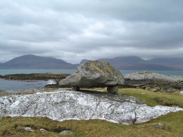
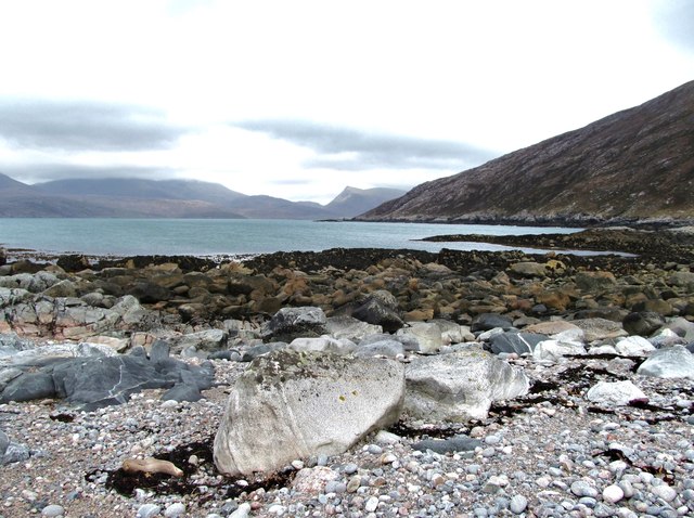
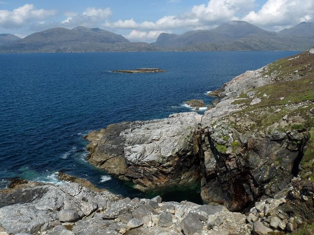
Tartur Geo is a prominent coastal feature located in Inverness-shire, Scotland. It is a headland that extends out into the North Atlantic Ocean, forming a distinct point along the rugged coastline. The geo is characterized by steep cliffs that rise up from the sea, creating a dramatic and picturesque landscape.
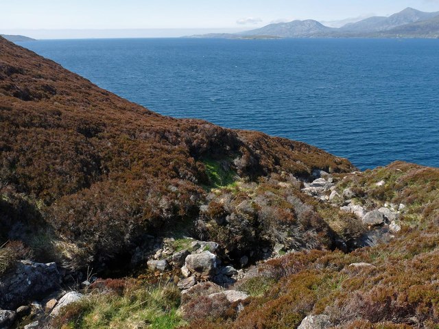
The headland is composed of sedimentary rocks, primarily sandstone and shale, which have been shaped by millions of years of erosion caused by the relentless pounding of the waves. This geological process has resulted in the formation of caves, arches, and stacks, adding to the beauty and uniqueness of Tartur Geo.
The area surrounding Tartur Geo is rich in biodiversity, with a variety of plant and animal species making their home in this ecosystem. Seabirds such as gannets, puffins, and razorbills can often be seen nesting on the cliffs, while seals and otters can be spotted swimming in the surrounding waters.
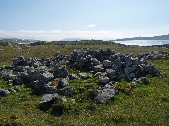
Tartur Geo also holds historical significance, as it was once used as a natural harbor by local fishermen and sailors. The headland provided a sheltered spot for boats, protecting them from the wild and unpredictable seas. Today, remnants of this maritime past can still be seen, including old stone structures and the remains of a small pier.
Overall, Tartur Geo is not only a visually striking coastal feature but also a valuable natural and historical site. Its rugged cliffs, diverse wildlife, and cultural heritage make it a popular destination for nature enthusiasts, photographers, and those seeking a glimpse into Scotland's coastal history.
If you have any feedback on the listing, please let us know in the comments section below.
Tartur Geo Images
Images are sourced within 2km of 57.906846/-6.9286986 or Grid Reference NB0801. Thanks to Geograph Open Source API. All images are credited.
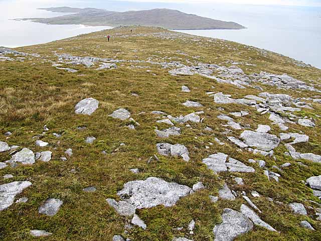
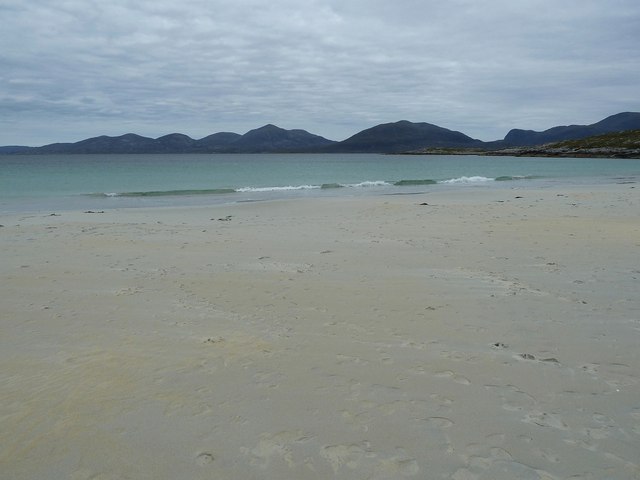
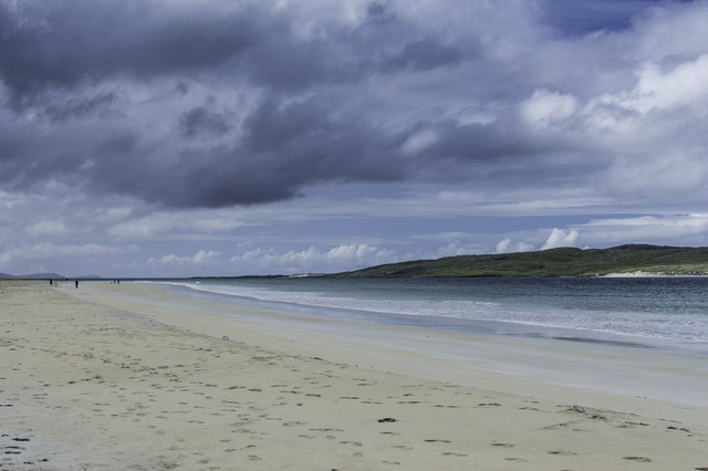
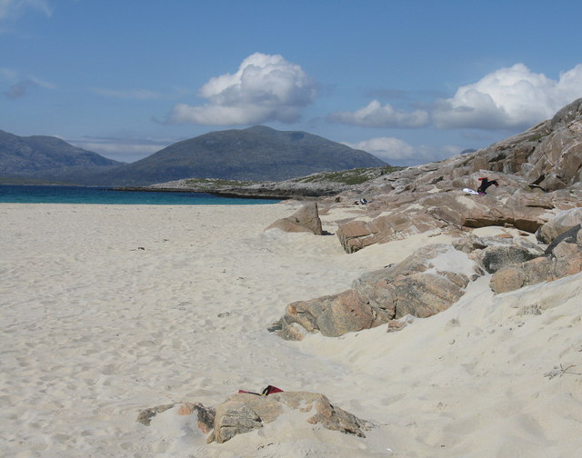
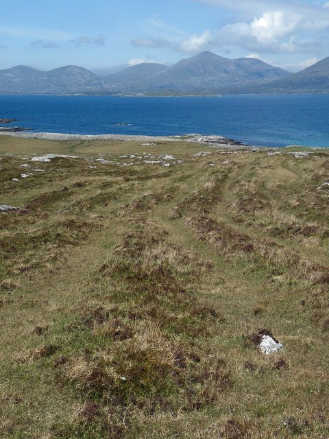
![Rocky coastline at Mol an Tighe Looking across the rocky shoreline at Mol an Tighe towards the shapely peak of Sgaoth Iosal [531m] which is to the north of Tarbert.](https://s1.geograph.org.uk/geophotos/03/94/91/3949141_388bcbe1.jpg)
Tartur Geo is located at Grid Ref: NB0801 (Lat: 57.906846, Lng: -6.9286986)
Unitary Authority: Na h-Eileanan an Iar
Police Authority: Highlands and Islands
What 3 Words
///bank.typed.uplifting. Near Tarbert, Na h-Eileanan Siar
Nearby Locations
Related Wikis

West Loch Tarbert
West Loch Tarbert (Scottish Gaelic: Loch A Siar) is a sea loch that separates the northern and southern parts of Harris in the Outer Hebrides of Scotland...

Luskentyre
Luskentyre (Scottish Gaelic: Losgaintir) is a sparse settlement on the west coast of Harris, in the Outer Hebrides, Scotland. Luskentyre is situated within...

Soay Mòr
Soay Mòr (Scottish Gaelic: Sòdhaigh Mòr) is an island in West Loch Tarbert, between the northern and southern parts of Harris. The uninhabited island is...

Ardhasaig
Ardhasaig (Scottish Gaelic: Àird Àsaig) is a settlement on the western coast of north Harris, in the Outer Hebrides, Scotland. Ardhasaig is also within...
Nearby Amenities
Located within 500m of 57.906846,-6.9286986Have you been to Tartur Geo?
Leave your review of Tartur Geo below (or comments, questions and feedback).