Geodha-Seilaro
Coastal Feature, Headland, Point in Ross-shire
Scotland
Geodha-Seilaro
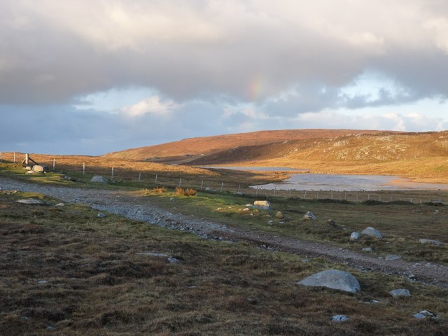
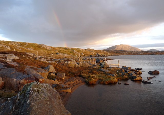
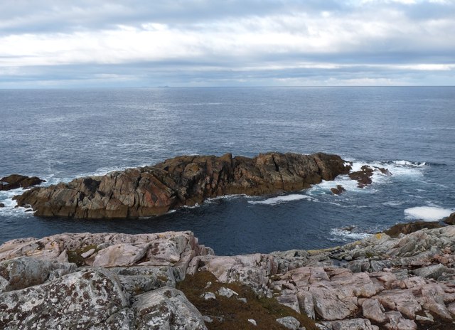
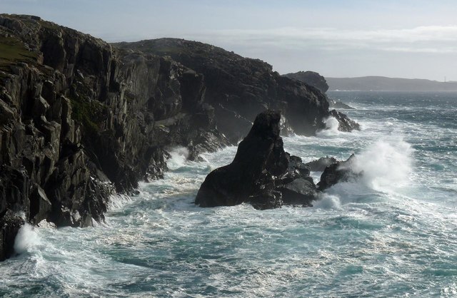
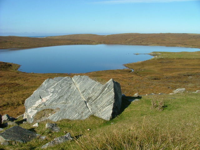
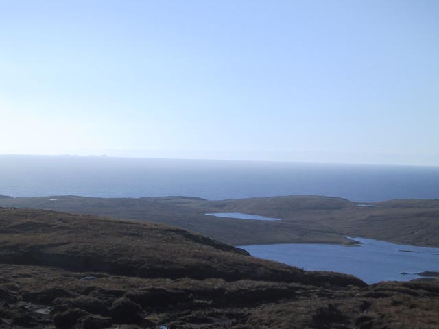
Geodha-Seilaro is a stunning coastal feature located in Ross-shire, Scotland. It is a prominent headland that juts out into the North Atlantic Ocean, forming a distinct point along the rugged coastline. With its breathtaking views and unique geological formations, this natural wonder attracts visitors from near and far.
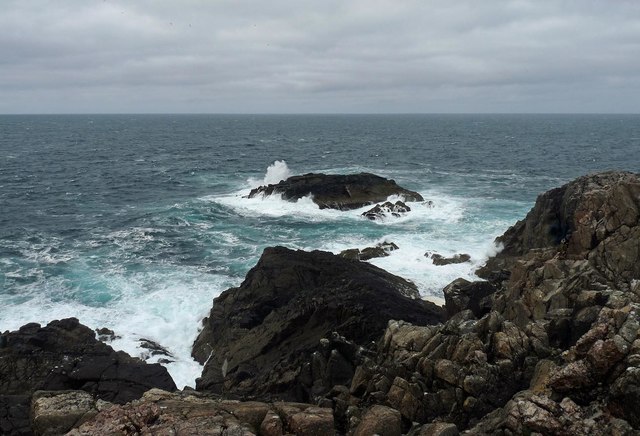
The headland of Geodha-Seilaro is characterized by its towering cliffs, which rise dramatically from the crashing waves below. These cliffs are composed of ancient rock formations, displaying a variety of colors and textures that add to the area's charm. The rugged landscape is further enhanced by the presence of sea stacks, small rocky islands that have been sculpted by the relentless power of the ocean.
In addition to its geological significance, Geodha-Seilaro also offers a diverse ecosystem. The surrounding waters are home to a rich array of marine life, including seals, dolphins, and various species of seabirds. Visitors can often spot these creatures while exploring the area, providing a unique wildlife-watching experience.
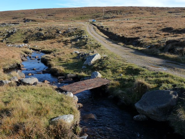
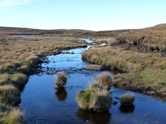
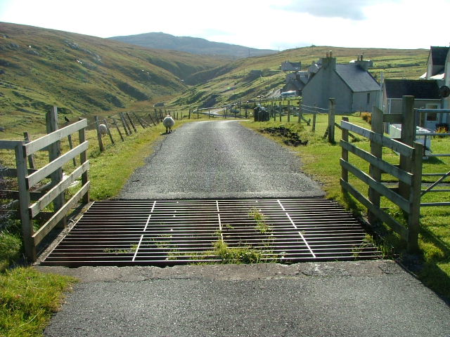
The headland is easily accessible via a coastal path, which offers breathtaking panoramic views of the North Atlantic. Hikers can enjoy the fresh sea breeze as they traverse the rugged terrain, taking in the beauty of the surrounding landscape.
Geodha-Seilaro is a must-visit destination for nature enthusiasts, photographers, and anyone seeking a memorable coastal experience. Its majestic cliffs, stunning views, and abundant wildlife make it a true gem along the Ross-shire coastline.
If you have any feedback on the listing, please let us know in the comments section below.
Geodha-Seilaro Images
Images are sourced within 2km of 58.220597/-7.0538087 or Grid Reference NB0336. Thanks to Geograph Open Source API. All images are credited.


Geodha-Seilaro is located at Grid Ref: NB0336 (Lat: 58.220597, Lng: -7.0538087)
Unitary Authority: Na h-Eileanan an Iar
Police Authority: Highlands and Islands
What 3 Words
///outfitter.quicksand.pleasing. Near Carloway, Na h-Eileanan Siar
Related Wikis

Aird Uig
Aird Uig (Scottish Gaelic: Àird Ùig) is a village on the Isle of Lewis, in the Outer Hebrides, Scotland. Aird Uig is within the parish of Uig, and is situated...

Camas Uig
Camas Uig (Uig Bay) is a bay on the west coast of the Isle of Lewis, in the Outer Hebrides of Scotland. The Lewis Chessmen were discovered in the dunes...

Timsgarry
Timsgarry (Scottish Gaelic: Tuimisgearraidh) is a village on the Isle of Lewis, in the Outer Hebrides, Scotland. Timsgarry is home to the Baile na Cille...

Ardroil
Ardroil (Scottish Gaelic: Eadar Dhà Fhadhail) is a village on the Isle of Lewis in the Outer Hebrides, Scotland. Ardroil is within the parish of Uig....
Nearby Amenities
Located within 500m of 58.220597,-7.0538087Have you been to Geodha-Seilaro?
Leave your review of Geodha-Seilaro below (or comments, questions and feedback).