Geòdha Gunna

Coastal Feature, Headland, Point in Ross-shire

Scotland

Geòdha Gunna

Coastline, Geòdha Nasabhaig, Isle of Lewis
Coastline, Geòdha Nasabhaig, Isle of Lewis Credit: Claire Pegrum

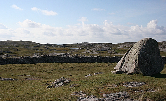
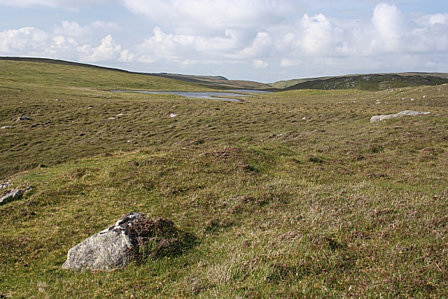
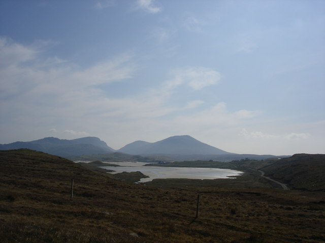
Geòdha Gunna, located in Ross-shire, Scotland, is a beautiful coastal feature known for its stunning headland and point. Situated on the northwestern coast of Scotland, this area offers breathtaking views of the surrounding landscapes and the vast Atlantic Ocean.

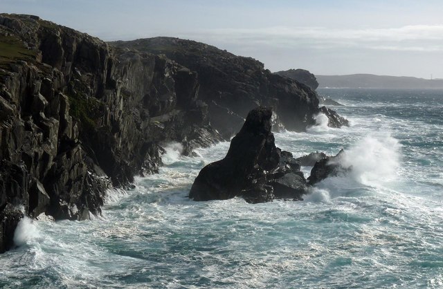
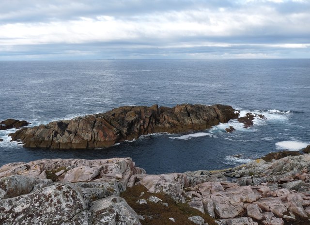
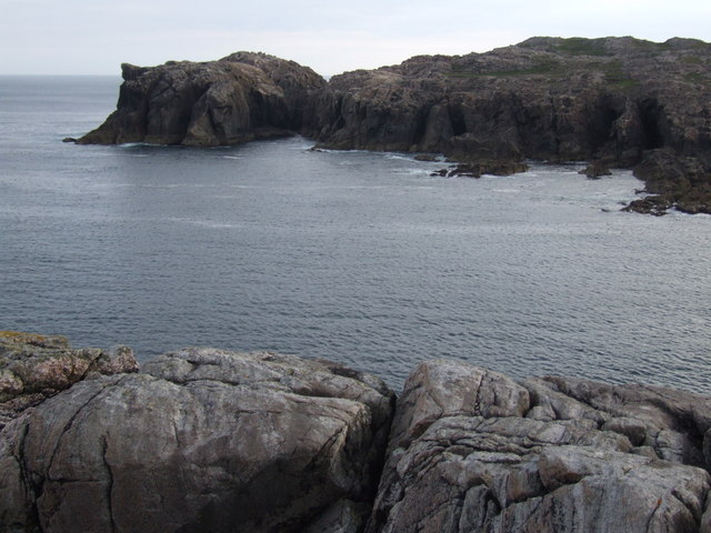
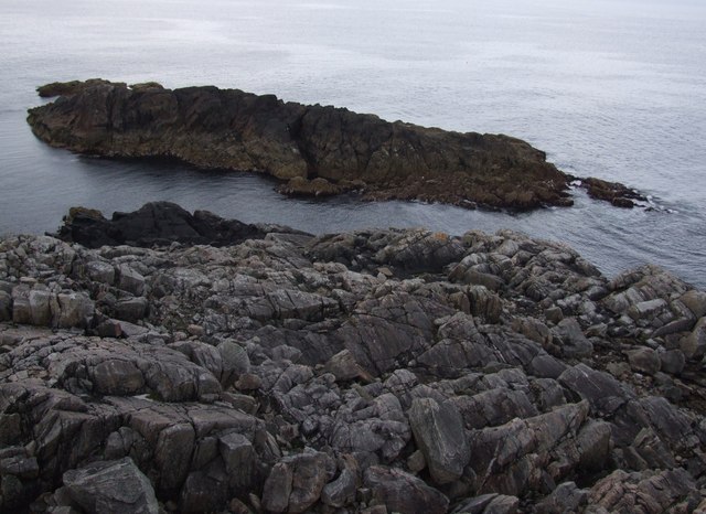
Geòdha Gunna is characterized by its rugged cliffs, which provide an ideal vantage point for visitors to admire the dramatic coastline. The headland juts out into the sea, creating a prominent landmark that is visible from miles away. From this vantage point, visitors can witness the crashing waves against the cliffs, creating a mesmerizing display of nature's power.

The name Geòdha Gunna translates to "Gunna Cove" in English, and it is believed to have been named after an incident involving a shipwreck and the discovery of a gun. This historical event adds an intriguing aspect to the area, attracting history enthusiasts and curious visitors alike.

The wildlife in Geòdha Gunna is diverse and abundant. It is home to a variety of seabirds, such as puffins, gannets, and fulmars, making it a paradise for birdwatchers. The surrounding waters also support a thriving marine ecosystem, with seals and dolphins frequently spotted in the area.

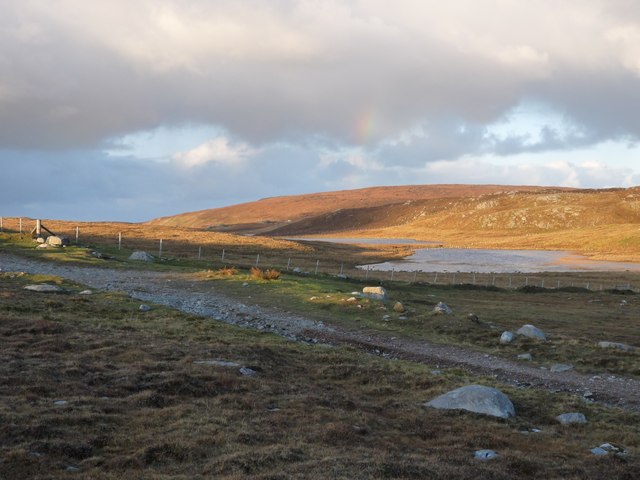
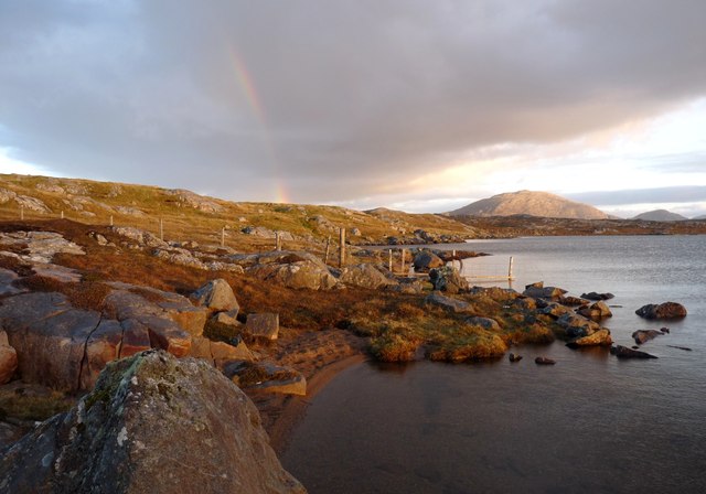
Access to Geòdha Gunna is relatively easy, with a well-maintained coastal path leading to the headland. This path offers stunning views throughout the journey, providing ample opportunities for photography and exploration.

Overall, Geòdha Gunna is a captivating coastal feature that showcases the natural beauty and rich history of Ross-shire. Whether it's for its dramatic cliffs, abundant wildlife, or intriguing shipwreck tale, this headland and point is a must-visit destination for nature enthusiasts and history lovers.

If you have any feedback on the listing, please let us know in the comments section below.
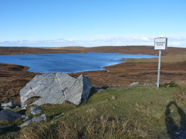
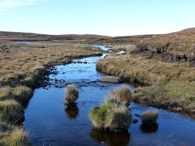
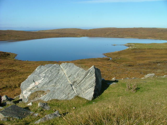
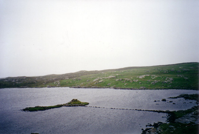
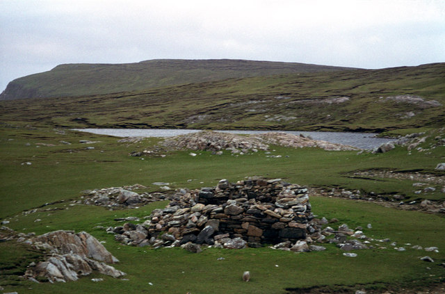
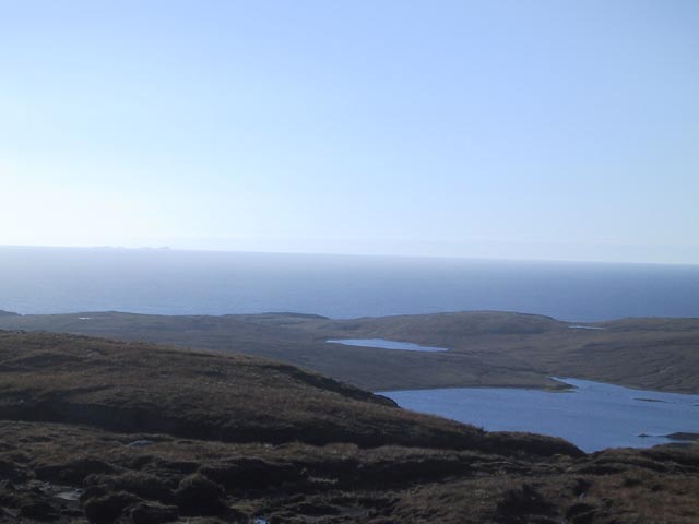
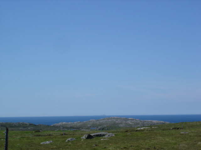
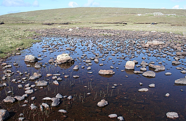
Geòdha Gunna Images

Images are sourced within 2km of 58.214527/-7.0544271 or Grid Reference NB0336. Thanks to Geograph Open Source API. All images are credited.

Coastline, Geòdha Nasabhaig, Isle of Lewis
Evening light on Loch Steiseal
A fence ends in Loch Barabhat The last post is fixed in the water, in an often vain attempt, to contain the sheep and cattle.
A fence ends in Loch Barabhat
The last post is fixed in the water, in an often vain attempt, to contain the sheep and cattle.
Sgeir Fhiabhaig Taras
Loch Mheacleit Boulder cleared during the road cutting work.
Loch Mheacleit
Boulder cleared during the road cutting work.
Outflow from Loch Mheacleit Moorland burn
Outflow from Loch Mheacleit
Moorland burn
Loch Meacleit On Aird Uig.
Loch Meacleit
On Aird Uig.
Dun Baravat Dun Baravat and its 100-foot long causeway in Loch Baravat.
Dun Baravat
Dun Baravat and its 100-foot long causeway in Loch Baravat.
Taigh a’ Bheannaich The ruin of a chapel known as Taigh a’ Bheannaich (the Blessing House), with Gallan Head in the distance.
Taigh a’ Bheannaich
The ruin of a chapel known as Taigh a’ Bheannaich (the Blessing House), with Gallan Head in the distance.
Loch Mheacleit with Flannan Isles behind
North Atlantic Ocean from Uig The Flannan Isles are just visible in the distance
North Atlantic Ocean from Uig
The Flannan Isles are just visible in the distance
Loch Mheacleit Looking south across the loch, with the Uig Hills in the distance, possibly Tahabhal on the left and Mealisbhal on the right. There is a tall cairn on a spit of low-lying land in the loch.
Loch Mheacleit
Looking south across the loch, with the Uig Hills in the distance, possibly Tahabhal on the left and Mealisbhal on the right. There is a tall cairn on a spit of low-lying land in the loch.
Loch Mheacleit This is the foot of the loch, where it flows out into the burn, unnamed on the maps, which enters the sea at Camas na h-Airde. The water level is low and it is easily crossed on the stones. I suspect that it is a different matter when the water level is high, because not only would there be fewer stones to use, the ground on both banks would be wet as well. Definitely a case for wellington boots!
Loch Mheacleit
This is the foot of the loch, where it flows out into the burn, unnamed on the maps, which enters the sea at Camas na h-Airde. The water level is low and it is easily crossed on the stones. I suspect that it is a different matter when the water level is high, because not only would there be fewer stones to use, the ground on both banks would be wet as well. Definitely a case for wellington boots!
Druim Ranngaro An ice-smoothed erratic perches on the summit of the low ridge at Cradhlasta. Beyond the wall is cnoc-and-lochan topography typical of the Lewisian gneiss.
Druim Ranngaro
An ice-smoothed erratic perches on the summit of the low ridge at Cradhlasta. Beyond the wall is cnoc-and-lochan topography typical of the Lewisian gneiss.
Loch Steiseal Loch Steiseal is actually the second lochan from here. The first one doesn't seem to have a name.
Loch Steiseal
Loch Steiseal is actually the second lochan from here. The first one doesn't seem to have a name.
Looking N across Bagh Fiabhaig
Looking down on Sgeir Fiabhaig Tarras A nice calm day on what is usually a wild and woolly coast-line.
Looking down on Sgeir Fiabhaig Tarras
A nice calm day on what is usually a wild and woolly coast-line.
Beanntainn Uige The Uig range and Uig Bay near Crowlista
Beanntainn Uige
The Uig range and Uig Bay near Crowlista
Show me another place!

Geòdha Gunna is located at Grid Ref: NB0336 (Lat: 58.214527, Lng: -7.0544271)

Unitary Authority: Na h-Eileanan an Iar

Police Authority: Highlands and Islands

What 3 Words

///sway.dime.flatten. Near Carloway, Na h-Eileanan Siar

Related Wikis

Aird Uig

Aird Uig (Scottish Gaelic: Àird Ùig) is a village on the Isle of Lewis, in the Outer Hebrides, Scotland. Aird Uig is within the parish of Uig, and is situated...

Camas Uig

Camas Uig (Uig Bay) is a bay on the west coast of the Isle of Lewis, in the Outer Hebrides of Scotland. The Lewis Chessmen were discovered in the dunes...

Timsgarry

Timsgarry (Scottish Gaelic: Tuimisgearraidh) is a village on the Isle of Lewis, in the Outer Hebrides, Scotland. Timsgarry is home to the Baile na Cille...

Ardroil

Ardroil (Scottish Gaelic: Eadar Dhà Fhadhail) is a village on the Isle of Lewis in the Outer Hebrides, Scotland. Ardroil is within the parish of Uig....

Have you been to Geòdha Gunna?

Leave your review of Geòdha Gunna below (or comments, questions and feedback).