Geodha Ruadh
Coastal Feature, Headland, Point in Ross-shire
Scotland
Geodha Ruadh
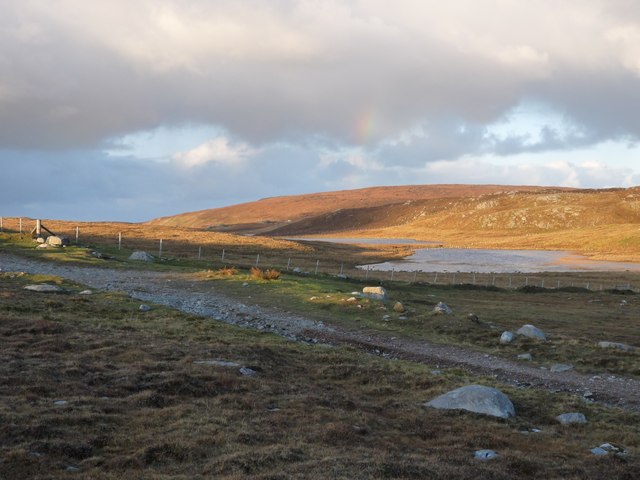
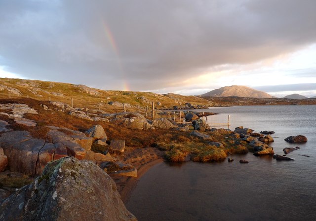
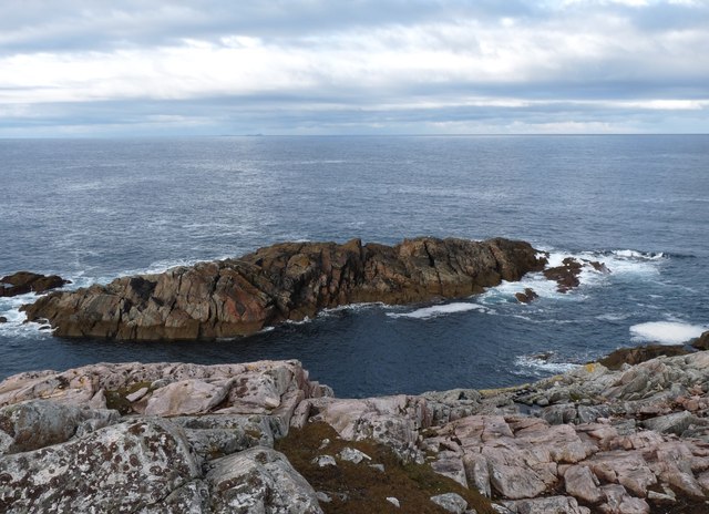
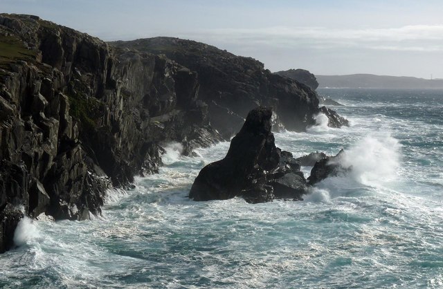
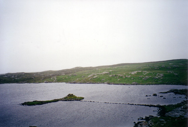
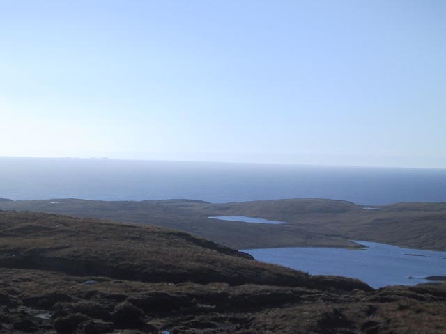
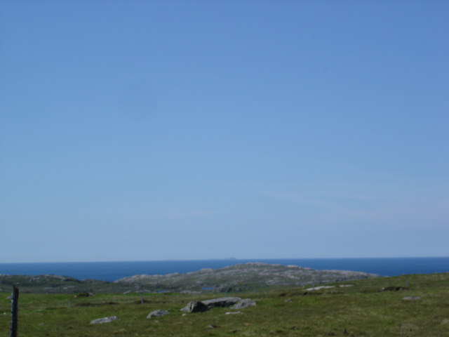
Geodha Ruadh, located in Ross-shire, Scotland, is a prominent coastal feature known for its stunning natural beauty and geological significance. Commonly referred to as a headland or point, Geodha Ruadh is a protrusion of land that extends out into the North Atlantic Ocean.
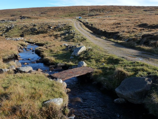
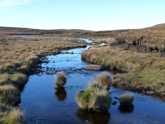
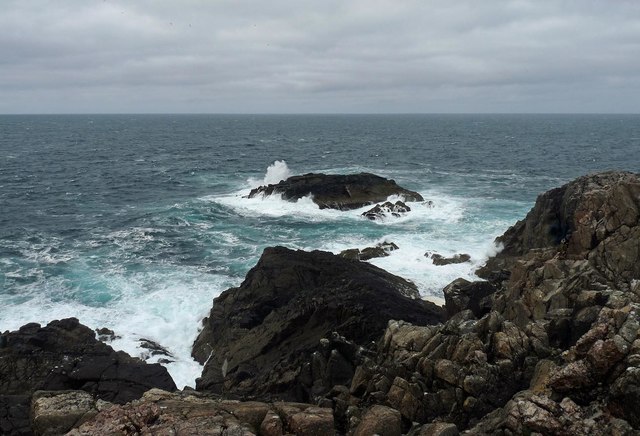
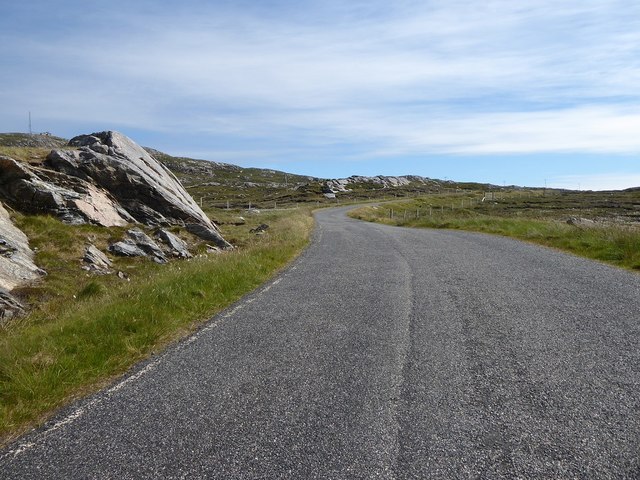
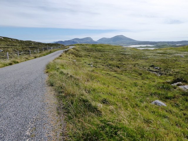
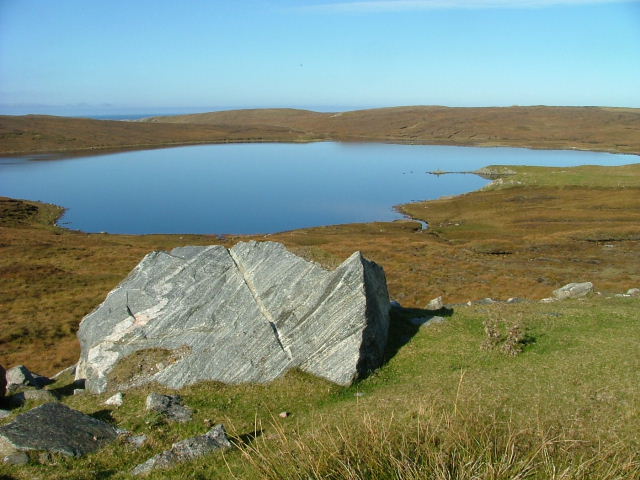
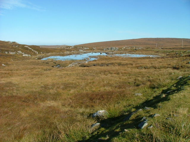
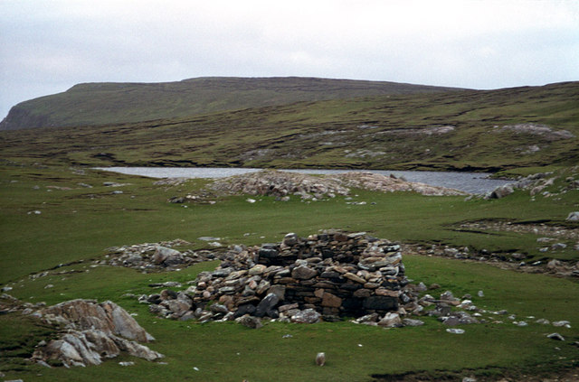
The headland is characterized by its rugged cliffs and rocky shoreline, offering breathtaking views of the surrounding coastal landscape. Geodha Ruadh is formed by the erosion of the underlying rock, predominantly composed of sandstone and shale, resulting in unique geological formations and rock formations.
The area is home to a diverse range of flora and fauna, making it a haven for nature enthusiasts and wildlife lovers. Seabirds such as puffins, razorbills, and guillemots can often be spotted nesting along the cliffs, while seals and dolphins are known to frequent the waters surrounding the headland.
Geodha Ruadh also holds historical significance, with evidence of human occupation dating back thousands of years. Archaeological sites and remains can be found in the area, shedding light on the ancient communities that once inhabited this coastal region.
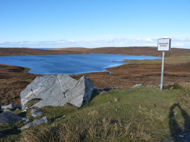
Visitors to Geodha Ruadh can enjoy various outdoor activities, including hiking, birdwatching, and photography. The headland is accessible via well-maintained walking paths, allowing visitors to explore its dramatic cliffs and tranquil beaches at their own pace.
Overall, Geodha Ruadh is a captivating coastal feature that offers a perfect blend of natural beauty, geological wonders, and historical intrigue, making it a must-visit destination for those exploring the Ross-shire region.
If you have any feedback on the listing, please let us know in the comments section below.
Geodha Ruadh Images
Images are sourced within 2km of 58.216764/-7.0522395 or Grid Reference NB0336. Thanks to Geograph Open Source API. All images are credited.


Geodha Ruadh is located at Grid Ref: NB0336 (Lat: 58.216764, Lng: -7.0522395)
Unitary Authority: Na h-Eileanan an Iar
Police Authority: Highlands and Islands
What 3 Words
///doted.skinning.adhesive. Near Carloway, Na h-Eileanan Siar
Nearby Locations
Related Wikis

Aird Uig
Aird Uig (Scottish Gaelic: Àird Ùig) is a village on the Isle of Lewis, in the Outer Hebrides, Scotland. Aird Uig is within the parish of Uig, and is situated...

Camas Uig
Camas Uig (Uig Bay) is a bay on the west coast of the Isle of Lewis, in the Outer Hebrides of Scotland. The Lewis Chessmen were discovered in the dunes...

Timsgarry
Timsgarry (Scottish Gaelic: Tuimisgearraidh) is a village on the Isle of Lewis, in the Outer Hebrides, Scotland. Timsgarry is home to the Baile na Cille...

Ardroil
Ardroil (Scottish Gaelic: Eadar Dhà Fhadhail) is a village on the Isle of Lewis in the Outer Hebrides, Scotland. Ardroil is within the parish of Uig....

Uig, Lewis
Uig (Scottish Gaelic: Ùig [uːkʲ]), also known as Sgìr' Ùig, is a civil parish and community in the west of the Isle of Lewis in the Outer Hebrides, Scotland...

Cliff, Lewis
Cliff (Scottish Gaelic: Cliobh) is a small settlement on the Isle of Lewis, in the Outer Hebrides, Scotland. Cliff is within the parish of Uig. The settlement...

Abhainn Dearg distillery
Abhainn Dearg distillery ( AV-in JAIRG) or Red River distillery is a Scotch whisky distillery in Uig, on the west coast of the Isle of Lewis in the Outer...

Stac Dhòmhnaill Chaim
Stac Dhòmnuill Chaim, or Stac Dhòmhnaill Chaim, or Stac Domhnuill Chaim, is a fortified promontory located near Mangursta (or Mangersta, Scottish Gaelic...
Have you been to Geodha Ruadh?
Leave your review of Geodha Ruadh below (or comments, questions and feedback).