Cnoc Seilaro

Hill, Mountain in Ross-shire

Scotland

Cnoc Seilaro

Evening light on Loch Steiseal
Evening light on Loch Steiseal Credit: Alan Reid

The requested URL returned error: 429 Too Many Requests

If you have any feedback on the listing, please let us know in the comments section below.
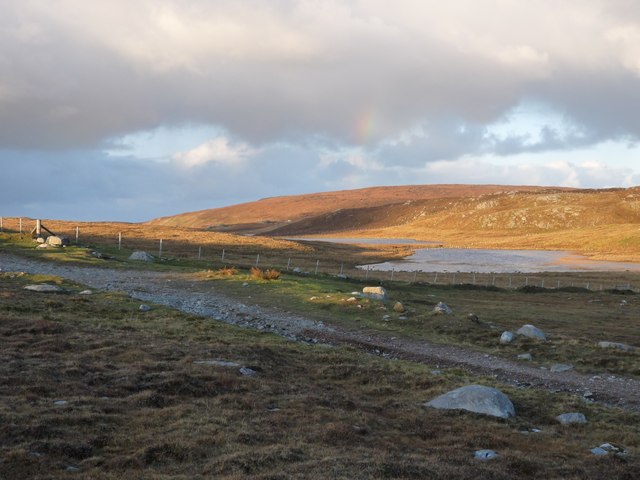
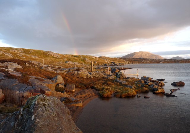
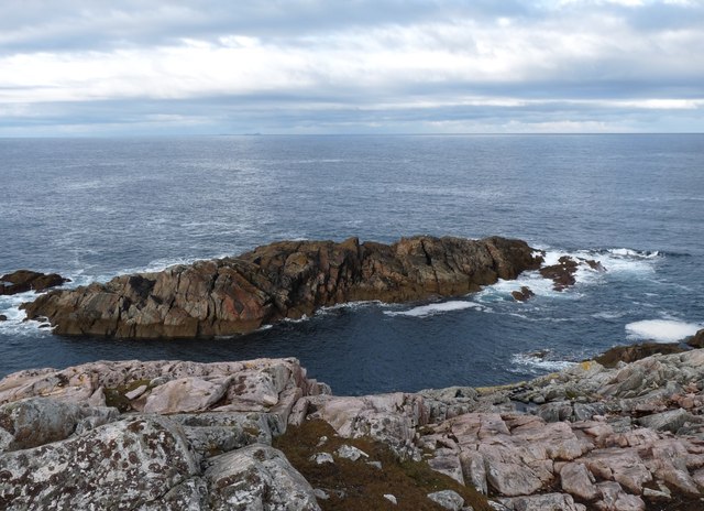
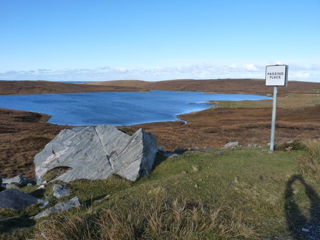
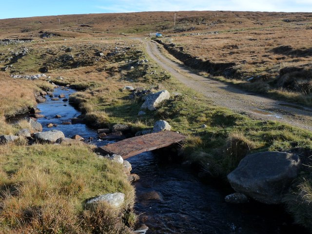
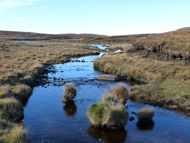
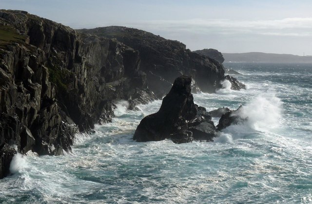
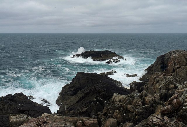
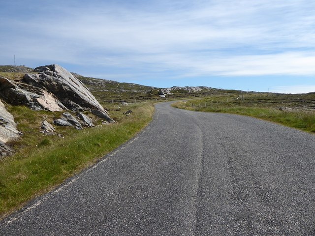
Cnoc Seilaro Images

Images are sourced within 2km of 58.22057/-7.0517756 or Grid Reference NB0336. Thanks to Geograph Open Source API. All images are credited.

Evening light on Loch Steiseal
A fence ends in Loch Barabhat The last post is fixed in the water, in an often vain attempt, to contain the sheep and cattle.
A fence ends in Loch Barabhat
The last post is fixed in the water, in an often vain attempt, to contain the sheep and cattle.
Sgeir Fhiabhaig Taras
Loch Mheacleit Boulder cleared during the road cutting work.
Loch Mheacleit
Boulder cleared during the road cutting work.
Outflow from Loch Mheacleit A rudimentary foot bridge crosses the burn
Outflow from Loch Mheacleit
A rudimentary foot bridge crosses the burn
Outflow from Loch Mheacleit Moorland burn
Outflow from Loch Mheacleit
Moorland burn
Aird Uig
Aird Uig
Aird Uig Rejuvenated military camp
Aird Uig
Rejuvenated military camp
Coastline, Geòdha Nasabhaig, Isle of Lewis
Gallan Beag, Isle of Lewis Gallan Beag is the rock offshore.
Gallan Beag, Isle of Lewis
Gallan Beag is the rock offshore.
Former military camp with radar station, Àird Uig
Minor road from Aird Uig to the B8011
Road out of Aird Uig
Abandoned croft at Aird Uig
The bay at Aird Uig Looking along the path towards the beach at Aird Uig on the island of Lewis with the stream visible off to the right.
The bay at Aird Uig
Looking along the path towards the beach at Aird Uig on the island of Lewis with the stream visible off to the right.
Shingle Beach Aird Uig Looking across the shingle beach at Aird Uig on the island of Lewis.
Shingle Beach Aird Uig
Looking across the shingle beach at Aird Uig on the island of Lewis.
Aird Uig
Aird Uig
Aird Uig Housing for RAF ROTOR radar station
Aird Uig
Housing for RAF ROTOR radar station
Show me another place!

Cnoc Seilaro is located at Grid Ref: NB0336 (Lat: 58.22057, Lng: -7.0517756)

Unitary Authority: Na h-Eileanan an Iar

Police Authority: Highlands and Islands

What 3 Words

///possible.sparkle.tearfully. Near Carloway, Na h-Eileanan Siar

Related Wikis

Aird Uig

Aird Uig (Scottish Gaelic: Àird Ùig) is a village on the Isle of Lewis, in the Outer Hebrides, Scotland. Aird Uig is within the parish of Uig, and is situated...

Camas Uig

Camas Uig (Uig Bay) is a bay on the west coast of the Isle of Lewis, in the Outer Hebrides of Scotland. The Lewis Chessmen were discovered in the dunes...

Timsgarry

Timsgarry (Scottish Gaelic: Tuimisgearraidh) is a village on the Isle of Lewis, in the Outer Hebrides, Scotland. Timsgarry is home to the Baile na Cille...

Ardroil

Ardroil (Scottish Gaelic: Eadar Dhà Fhadhail) is a village on the Isle of Lewis in the Outer Hebrides, Scotland. Ardroil is within the parish of Uig....

Nearby Amenities

Located within 500m of 58.22057,-7.0517756
Created By: dmgroom_coastlines
Lat/Long: 58.22215/-7.054
The data included in this document is from www.openstreetmap.org. The data is made available under ODbL.

Have you been to Cnoc Seilaro?

Leave your review of Cnoc Seilaro below (or comments, questions and feedback).