Loch Ruadh Guinnerso
Lake, Pool, Pond, Freshwater Marsh in Ross-shire
Scotland
Loch Ruadh Guinnerso
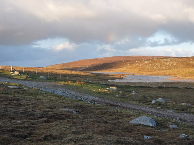
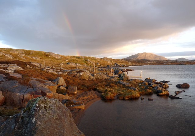
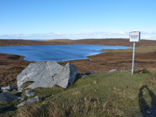
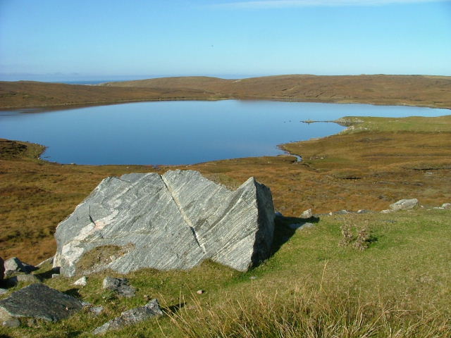
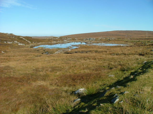
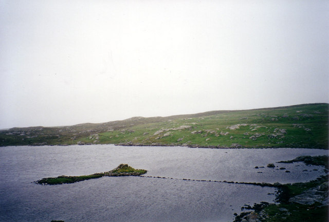
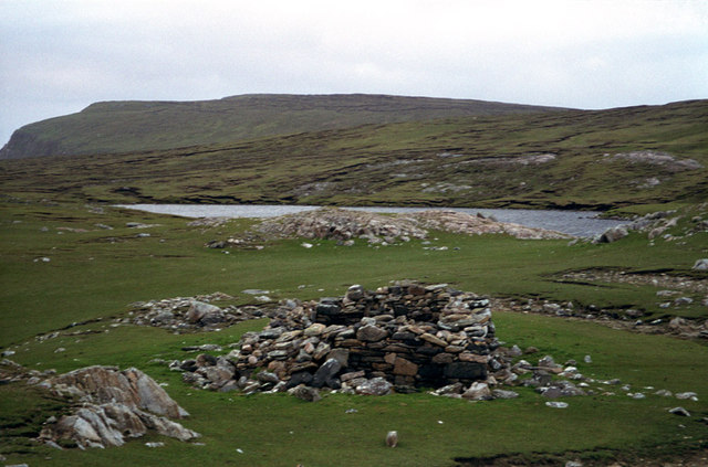
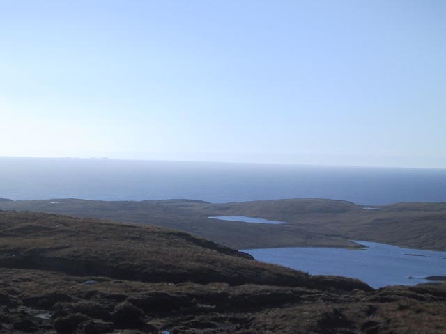
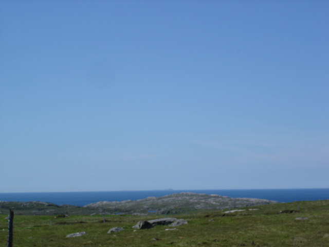
Loch Ruadh Guinnerso, located in Ross-shire, Scotland, is a picturesque freshwater body encompassing elements of a lake, pool, pond, and freshwater marsh. Nestled amidst the breathtaking Scottish Highlands, this natural treasure offers a diverse range of ecosystems that attract both visitors and local wildlife alike.
Spanning approximately 100 acres, Loch Ruadh Guinnerso boasts crystal-clear waters that shimmer under the sun. The lake's depth varies throughout, with some areas reaching up to 30 feet. This depth, combined with the calmness of the waters, makes it an ideal spot for swimming, fishing, and boating activities.
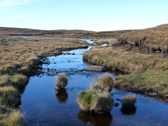
Surrounded by lush greenery and rolling hills, the loch also features a small pool and pond area. These sections are characterized by shallower depths and are teeming with aquatic plants and smaller fish species. The stillness of these waters provides a tranquil setting for nature enthusiasts to observe and appreciate the delicate balance of this unique ecosystem.
Adding to its diversity, Loch Ruadh Guinnerso is also home to a freshwater marsh. This marshland is situated along the edges of the lake, with a patchwork of reeds, sedges, and grasses dominating the landscape. The marsh provides a vital habitat for various bird species, including ducks, swans, and herons, which can be observed peacefully gliding across the calm waters.
Overall, Loch Ruadh Guinnerso offers a wide array of natural features, from its deep and serene lake to its smaller pool, pond, and freshwater marsh. Its beauty and diverse ecosystems make it a popular destination for tourists seeking a tranquil retreat and nature lovers eager to explore the wonders of the Scottish Highlands.
If you have any feedback on the listing, please let us know in the comments section below.
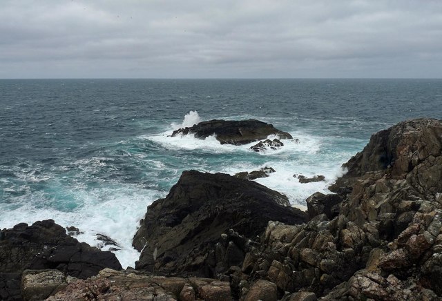
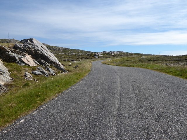
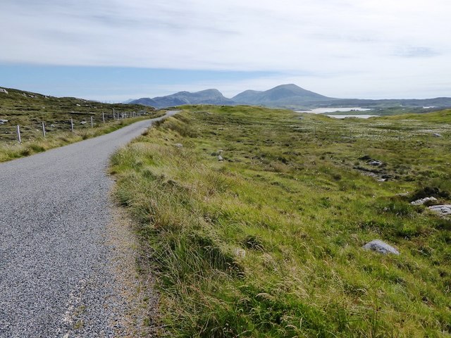
Loch Ruadh Guinnerso Images
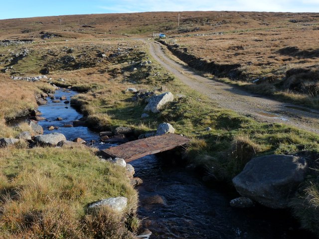
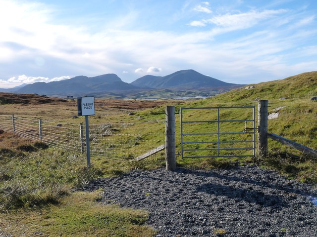
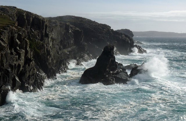
Images are sourced within 2km of 58.215505/-7.0510884 or Grid Reference NB0336. Thanks to Geograph Open Source API. All images are credited.

Loch Ruadh Guinnerso is located at Grid Ref: NB0336 (Lat: 58.215505, Lng: -7.0510884)
Unitary Authority: Na h-Eileanan an Iar
Police Authority: Highlands and Islands
What 3 Words
///transcribes.scratches.optimists. Near Carloway, Na h-Eileanan Siar
Nearby Locations
Related Wikis

Aird Uig
Aird Uig (Scottish Gaelic: Àird Ùig) is a village on the Isle of Lewis, in the Outer Hebrides, Scotland. Aird Uig is within the parish of Uig, and is situated...

Camas Uig
Camas Uig (Uig Bay) is a bay on the west coast of the Isle of Lewis, in the Outer Hebrides of Scotland. The Lewis Chessmen were discovered in the dunes...

Timsgarry
Timsgarry (Scottish Gaelic: Tuimisgearraidh) is a village on the Isle of Lewis, in the Outer Hebrides, Scotland. Timsgarry is home to the Baile na Cille...

Ardroil
Ardroil (Scottish Gaelic: Eadar Dhà Fhadhail) is a village on the Isle of Lewis in the Outer Hebrides, Scotland. Ardroil is within the parish of Uig....
Have you been to Loch Ruadh Guinnerso?
Leave your review of Loch Ruadh Guinnerso below (or comments, questions and feedback).