Am Beannan Ruadh

Coastal Feature, Headland, Point in Argyllshire

Scotland

Am Beannan Ruadh

Track, Vaul
Track, Vaul Credit: Richard Webb

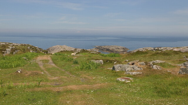
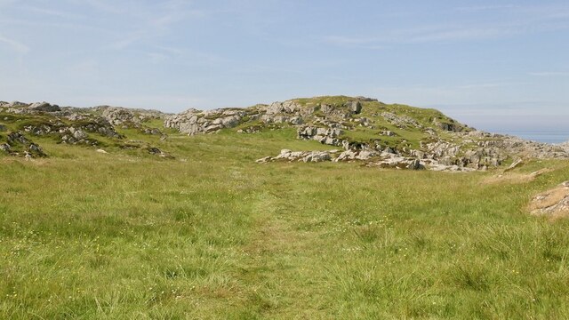
Am Beannan Ruadh is a striking coastal feature located in Argyllshire, Scotland. Situated on the western coast, it is a prominent headland that extends into the Atlantic Ocean, forming a distinct point on the landscape. Known for its rugged beauty, Am Beannan Ruadh is a popular destination for nature enthusiasts and adventurers.

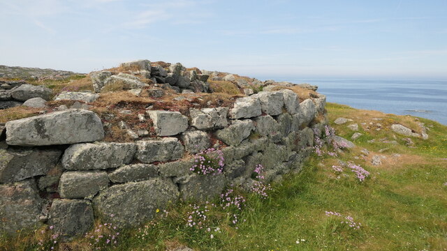
The headland is characterized by its towering cliffs, which rise dramatically from the sea, providing breathtaking views of the surrounding landscape. These cliffs are composed of ancient rock formations, showcasing the geological history of the area. The distinctive red coloration of the rocks gives Am Beannan Ruadh its name, which translates to "red peaks" in Gaelic.

The headland is also home to a diverse array of flora and fauna. The coastal grasslands and heathlands support a variety of plant species, including hardy shrubs and wildflowers. Seabirds, such as puffins and gannets, can often be spotted nesting along the cliffs, while seals can be seen basking on the rocky shores below.

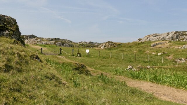
Visitors to Am Beannan Ruadh can explore the headland via a network of walking trails that wind through the surrounding countryside. These trails provide access to stunning viewpoints and hidden coves, allowing visitors to fully immerse themselves in the natural beauty of the area.

Overall, Am Beannan Ruadh offers a captivating coastal experience, combining dramatic cliffs, diverse wildlife, and breathtaking views. Whether one is seeking adventure, tranquility, or simply a connection with nature, this headland in Argyllshire provides an unforgettable experience.

If you have any feedback on the listing, please let us know in the comments section below.

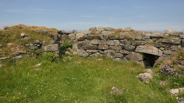
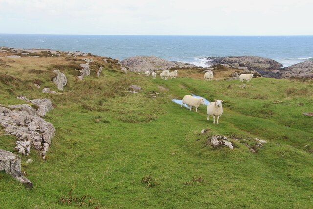
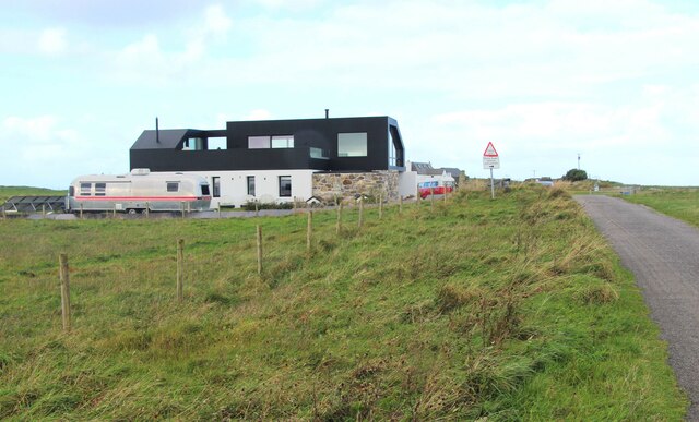
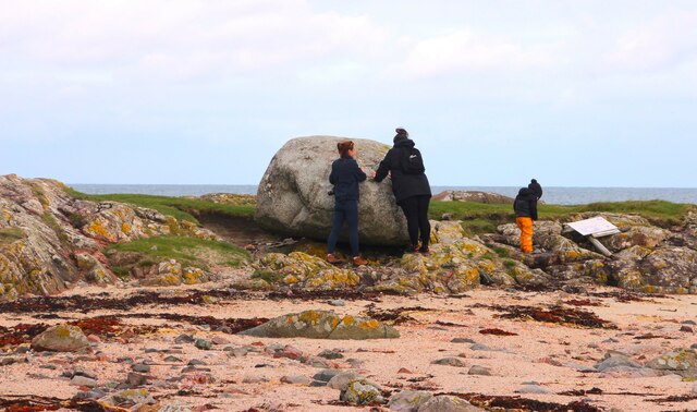
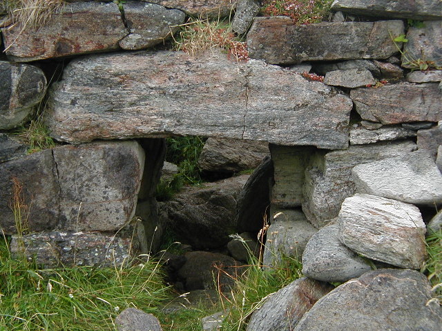
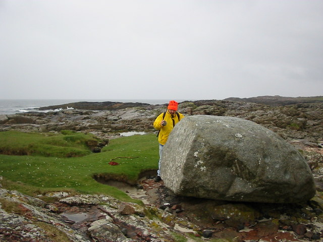
Am Beannan Ruadh Images

Images are sourced within 2km of 56.540086/-6.8286942 or Grid Reference NM0349. Thanks to Geograph Open Source API. All images are credited.

Track, Vaul
Track, Vaul
Track beneath Dùn Mòr A pleasant short walk to a fine broch.
Track beneath Dùn Mòr
A pleasant short walk to a fine broch.
Dùn Mòr A broch on the north coast of Tiree.
Dùn Mòr
A broch on the north coast of Tiree.
Dùn Mòr Surviving wall of a broch.  Dùn Mòr has been excavated in the recent past and very recognisable broch features can be seen.
Dùn Mòr
Surviving wall of a broch. Dùn Mòr has been excavated in the recent past and very recognisable broch features can be seen.
Dùn Mòr Very recognisable as a broch with some internal staircase surviving. The ruin is also covered in flowers.
Dùn Mòr
Very recognisable as a broch with some internal staircase surviving. The ruin is also covered in flowers.
A grassy track by An Cnap
A modern house at Vaul
Barnacle geese over Tiree They may be resting en route to Galloway from Greenland via Iceland. A low flying jet has disturbed these and others.
Barnacle geese over Tiree
They may be resting en route to Galloway from Greenland via Iceland. A low flying jet has disturbed these and others.
Inspecting the Ringing Stone
Broch, near Vaul, Tiree Entrance to the Broch, Dun Mor, near Vaul, Tiree
Broch, near Vaul, Tiree
Entrance to the Broch, Dun Mor, near Vaul, Tiree
Old Plough at Vaul Bay
Tigh Beag Cottage
Tigh Beag Cottage
The Ringing Stone A large cup marked rock that rings when hit.
The Ringing Stone
A large cup marked rock that rings when hit.
Vaul Bay from the West
An Cnap Although not particularly high (23m) the view is really rather good.
An Cnap
Although not particularly high (23m) the view is really rather good.
Dun Mor Very hard to get the overview photo of this broch, because rather unsurprisingly it's not overlooked!
Dun Mor
Very hard to get the overview photo of this broch, because rather unsurprisingly it's not overlooked!
Small beach near Am Beannan Ruadh Lots of shells here, including some small cowries.
Small beach near Am Beannan Ruadh
Lots of shells here, including some small cowries.
Creagan Mòra Summit of the small craggy hill, which a not very well defined ridge.
Creagan Mòra
Summit of the small craggy hill, which a not very well defined ridge.
Show me another place!

Am Beannan Ruadh is located at Grid Ref: NM0349 (Lat: 56.540086, Lng: -6.8286942)

Unitary Authority: Argyll and Bute

Police Authority: Argyll and West Dunbartonshire

What 3 Words

///irritated.devalued.race. Near Scarinish, Argyll & Bute

Related Wikis

Dun Mor Vaul

Dun Mor Vaul (or simply Dun Mor; Scottish Gaelic: Dùn Mòr) is an iron-age broch located on the north coast of the island of Tiree, in Scotland. ��2�...

Tiree

Tiree (; Scottish Gaelic: Tiriodh, pronounced [ˈtʲʰiɾʲəɣ]) is the most westerly island in the Inner Hebrides of Scotland. The low-lying island, southwest...

Scarinish

Scarinish (Scottish Gaelic: Sgairinis [ˈs̪kaɾʲɪnɪʃ]) is the main village on the island of Tiree, in the Inner Hebrides of Scotland. It is located on the...

Tiree Airport

Tiree Airport (Scottish Gaelic: Port-adhair Thiriodh) (IATA: TRE, ICAO: EGPU) is located 2.5 nautical miles (4.6 km; 2.9 mi) north northeast of Balemartine...

Nearby Amenities

Located within 500m of 56.540086,-6.8286942
Created By: dmgroom_coastlines
Source: PGS
Lat/Long: 56.53726/-6.83489
Created By: dmgroom_coastlines
Source: PGS
Lat/Long: 56.53712/-6.83443
Created By: dmgroom_coastlines
Source: PGS
Lat/Long: 56.53763/-6.8344
Created By: dmgroom_coastlines
Source: PGS
Lat/Long: 56.53775/-6.83393
Created By: dmgroom_coastlines
Source: PGS
Lat/Long: 56.53786/-6.833
Created By: dmgroom_coastlines
Source: PGS
Lat/Long: 56.53889/-6.83294
Created By: dmgroom_coastlines
Source: PGS
Lat/Long: 56.53886/-6.83155
Created By: dmgroom_coastlines
Source: PGS
Lat/Long: 56.53912/-6.83177
Created By: dmgroom_coastlines
Source: PGS
Lat/Long: 56.53964/-6.83174
Created By: dmgroom_coastlines
Source: PGS
Lat/Long: 56.54014/-6.83148
Created By: dmgroom_coastlines
Source: PGS
Lat/Long: 56.54026/-6.831
Created By: dmgroom_coastlines
Source: PGS
Lat/Long: 56.54051/-6.83053
Created By: dmgroom_coastlines
Source: PGS
Lat/Long: 56.54075/-6.82959
Created By: dmgroom_coastlines
Source: PGS
Lat/Long: 56.54085/-6.82819
Created By: dmgroom_coastlines
Source: PGS
Lat/Long: 56.54034/-6.82822
Created By: dmgroom_coastlines
Source: PGS
Lat/Long: 56.54029/-6.82544
Created By: dmgroom_coastlines
Source: PGS
Lat/Long: 56.54055/-6.82566
Created By: dmgroom_coastlines
Source: PGS
Lat/Long: 56.54081/-6.82564
Created By: dmgroom_coastlines
Source: PGS
Lat/Long: 56.54132/-6.82538
Created By: dmgroom_coastlines
Source: PGS
Lat/Long: 56.54116/-6.824
Created By: dmgroom_coastlines
Source: PGS
Lat/Long: 56.5409/-6.82355
Created By: dmgroom_coastlines
Source: PGS
Lat/Long: 56.54088/-6.82263
Created By: dmgroom_coastlines
Source: PGS
Lat/Long: 56.54112/-6.82168
Created By: dmgroom_coastlines
Source: PGS
Lat/Long: 56.54112/-6.82122
Created By: dmgroom_coastlines
Source: PGS
Lat/Long: 56.54098/-6.82077
The data included in this document is from www.openstreetmap.org. The data is made available under ODbL.

Have you been to Am Beannan Ruadh?

Leave your review of Am Beannan Ruadh below (or comments, questions and feedback).